Hiking Around Las Vegas, Mount Charleston Area
 Former trailhead sign (view W) |
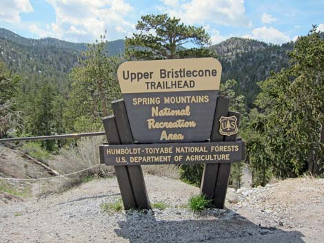
Upper Bristlecone Trailhead is located up in the Spring Mountains National Recreation Area (also known as Mt. Charleston), about 1-1/4 hours northwest of Las Vegas. From town, drive north on Highway 95 to Lee Canyon Road (Highway 156; Table 1, Site 0668). Turn left onto Lee Canyon Road and drive 17.6 miles west towards the ski area. Upper Bristlecone Trailhead is located at the very end of Lee Canyon Road. Link to Trailhead Map. |
 Start of Upper Bristlecone Trail (view SW) |
Upper Bristlecone Trailhead can also be reached from Kyle Canyon. From town, drive north on Highway 95 to Kyle Canyon Road (Highway 157; Table 1, Site 0667). Turn left onto Kyle Canyon Road and drive west for 17.1 miles to Deer Creek Road (Highway 158; Site 0727), which is just past the Mt. Charleston Resort. Turn right onto Deer Creek Road and drive north to a T-intersection with Lee Canyon Road (Site 1272). Turn left onto Lee Canyon Road and continue west to the end of the road. Upper Bristlecone Trailhead provides access to the Bristlecone Loop Trail, Bonanza Trail, and various routes to places such as the summit of Mt. Charleston from the back side. |
 Lee Canyon Road at entrance to Lee Canyon Ski Area (view SW) |
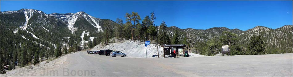
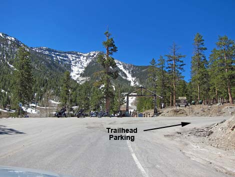
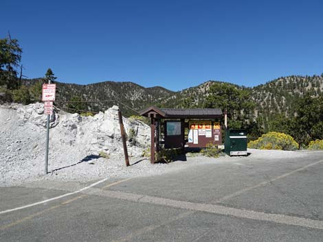
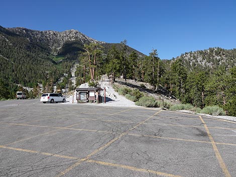
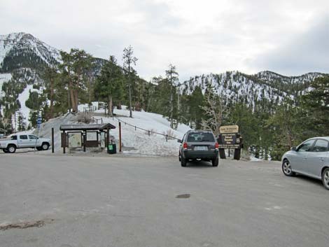
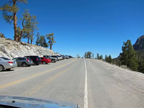 End of Lee Canyon Road: Upper Bristlecone Trailhead parking |
 End of Lee Canyon Rd: Upper Bristlecone Trailhead parking |
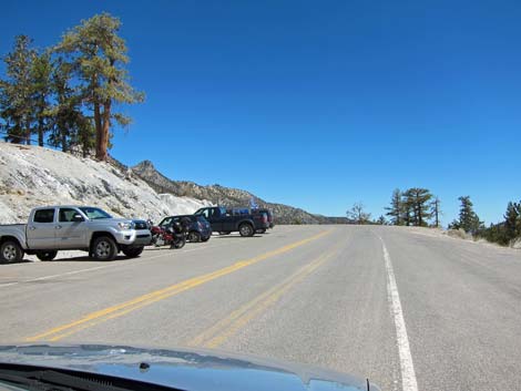
 Upper Bristlecone Trailhead parking |
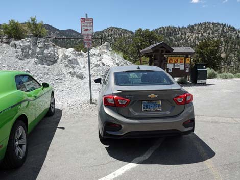 Don't park in front of the No Parking sign (view NW) |
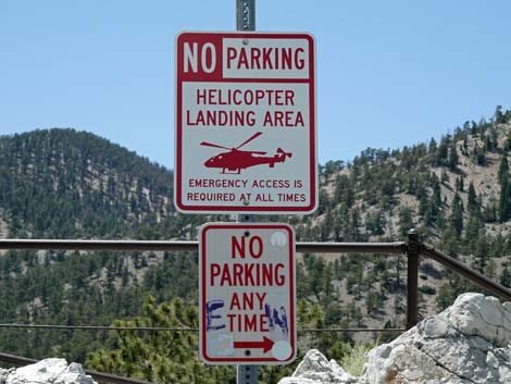 Sign: Emergency Helicopter Landing Area, No Parking Any Time |
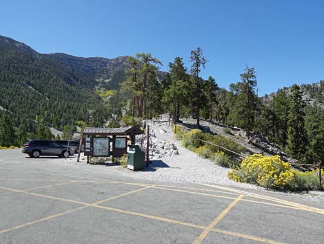
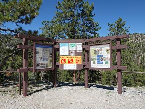
 Approaching Upper Bristlecone Trailhead information sign |
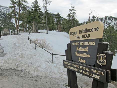
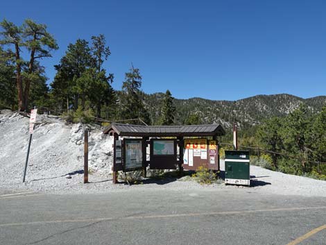 Upper Bristlecone Trailhead information sign |
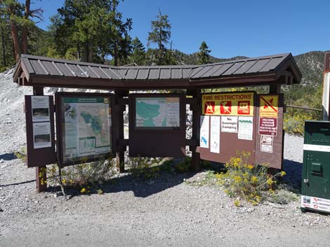 Upper Bristlecone Trailhead information sign |
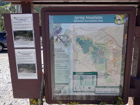 Upper Bristlecone Trailhead information sign |
 Upper Bristlecone Trailhead information sign |
 Upper Bristlecone Trailhead information sign |
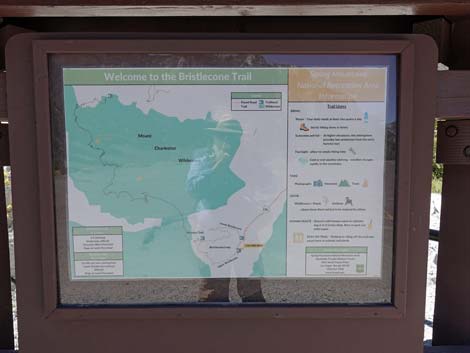
 Start of Bristlecone Loop Trail |
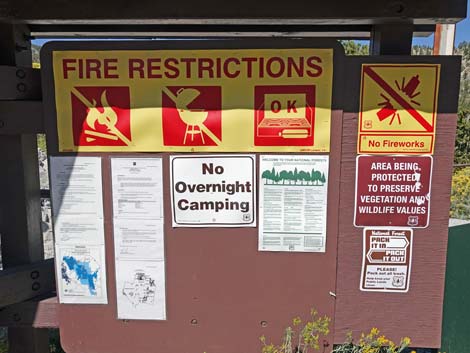
 More information signs just up the trail |
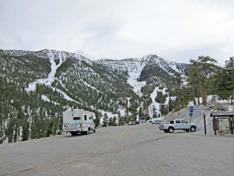
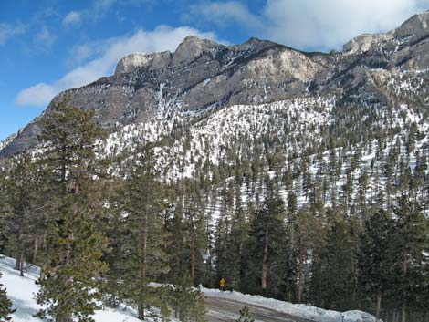
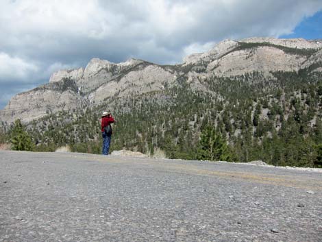 Grand scenery: Mummy Mountain (view E) |
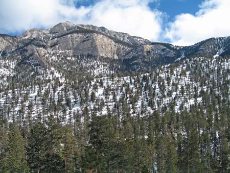
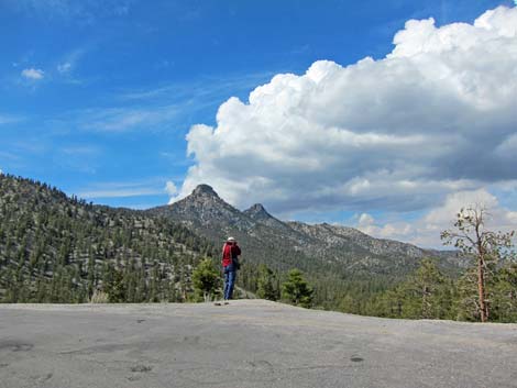 Grand Scenery: The Sisters Peaks (view N) |
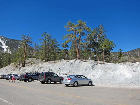
 Upper Bristlecone Trailhead (view SW from helicopter landing zone) |
 More to come ... |
 Upper Bristlecone Trailhead during winter |
 Upper Bristlecone Trailhead during winter |
 Upper Bristlecone Trailhead during winter |
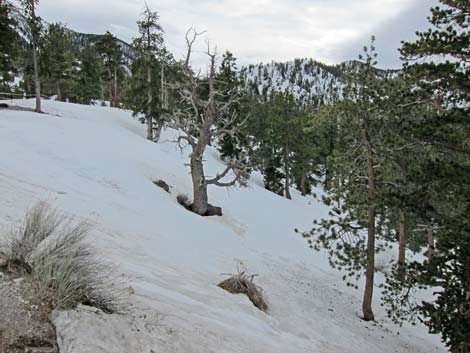 Upper Bristlecone Trailhead during winter |
 Parking Area scenery: Upper Lee Canyon with snow (view W) |
Parking Area scenery: Trailhead sign with snow (view SW) |
 Parking Area scenery: Mummy Mountain with snow (view SE) |
 Parking Area scenery: Mummy Mountain with snow (view SE) |
Table 1. Highway Coordinates based on GPS Data (NAD27; UTM Zone 11S). Download Highway GPS Waypoints (*.gpx) file.
| Site | Location | UTM Easting | UTM Northing | Latitude (N) | Longitude (W) | Elevation (ft) | Verified |
|---|---|---|---|---|---|---|---|
| 0550 | Bristlecone Trailhead Parking, Lower | 618831 | 4019171 | 36.31204 | 115.67635 | 8,483 | Yes |
| 0556 | Bristlecone Trailhead Parking, Upper | 618761 | 4018542 | 36.30638 | 115.67724 | 8,684 | Yes |
| 0667 | Hwy 95 at Hwy 157 | 651544 | 4021405 | 36.32758 | 115.31167 | 2,820 | Yes |
| 0668 | Hwy 95 at Hwy 156 | 637320 | 4037799 | 36.47747 | 115.46718 | 3,300 | Yes |
| 0727 | Kyle Cyn Rd at Deer Creek Rd | 625575 | 4013970 | 36.26431 | 115.60209 | 6,800 | Yes |
| 1272 | Lee Canyon Rd at Deer Creek Rd | 621017 | 4022368 | 36.34059 | 115.65152 | 7,799 | GPS |
| 1276 | Lee Canyon Rd at Lower Bristlecone Trailhead Rd | 618836 | 4019047 | 36.31092 | 115.67632 | 8,396 | GPS |
Happy Hiking! All distances, elevations, and other facts are approximate.
![]() ; Last updated 240329
; Last updated 240329
| Hiking Around Mt Charleston | Hiking Around Las Vegas | Glossary | Copyright, Conditions, Disclaimer | Home |