Hiking Around Las Vegas, Mount Charleston Area
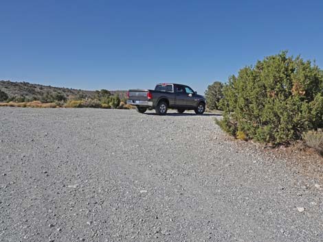
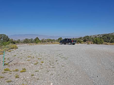
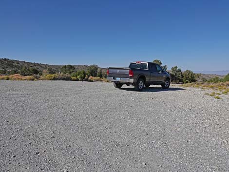 Gravel Pit Trailhead parking (view NE) Gravel Pit Trailhead parking (view NE) |
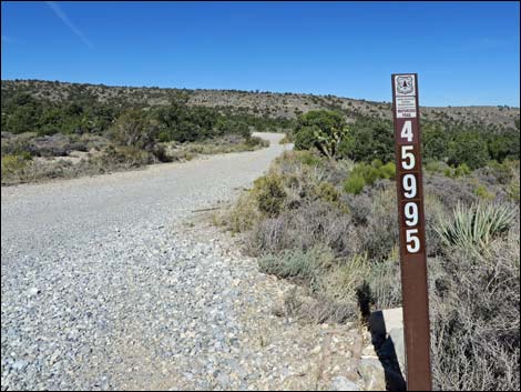
The Gravel Pit Trailhead is located up in the Spring Mountains National Recreation Area (also known as Mt. Charleston), about 40 minutes northwest of Las Vegas along Lee Canyon Road. From town, drive north on Highway 95 for 30.3 miles to Lee Canyon Road (Site 0668). Turn left onto Lee Canyon Road and drive southwest for 10.4 miles to Gravel Pit Road (Forest Road 45995; Site 1907). Turn right onto Gravel Pit Road and drive north for about 150 yards to the trailhead parking area (Site 1908), on the right. The gravel pit is to the left, but hikers should stay out of this area should the area be needed by road crews. Link to Trailhead Map. Gravel Pit Trailhead provides access to several of the Sawmill Area trails, including the Blue Tree Loop, Rocky Gorge Loop Trail, and Deer Creek Trail (part of the Deer Creek - Catch Pen Loop Trail). |
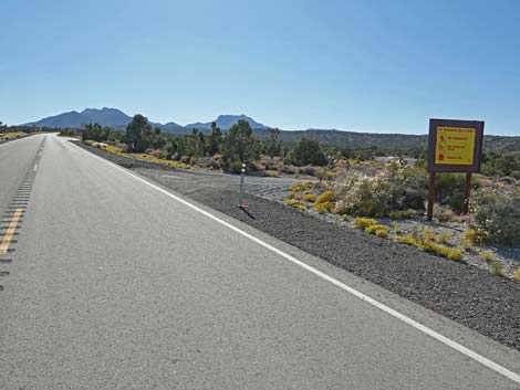 Lee Canyon Rd at Gravel Pit Road (Road 45995; view W) |
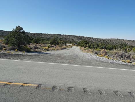 Gravel Pit Road (Road 45995; view N from Lee Canyon Rd) |
 Gravel Pit Road (Road 45995; view N from Lee Canyon Road) |
 Gravel Pit Road (Road 45995; view N) |
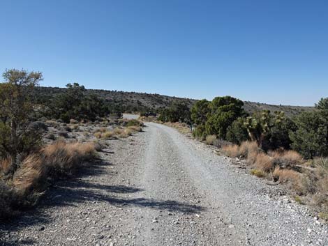
 Gravel Pit Road (view N) |
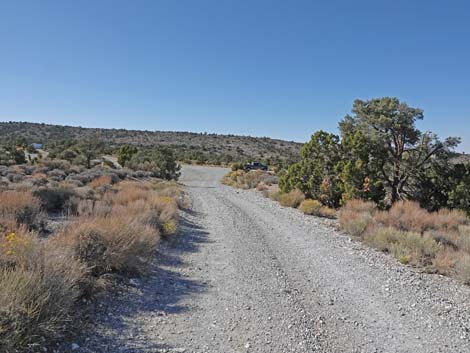
 Gravel Pit Road approaching the gravel pit (view N) |
 Gravel Pit Road at the gravel pit, on the left (view N) |
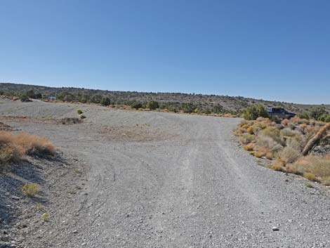
 Gravel Pit Road at Gravel Pit Trailhead parking, on the right (view N) |
Gravel Pit Trailhead parking (view NE) |
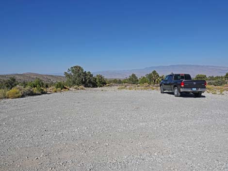 Gravel Pit Trailhead parking (view E) |
 Gravel Pit Road continues past the trailhead parking (view NW) |
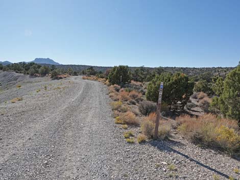
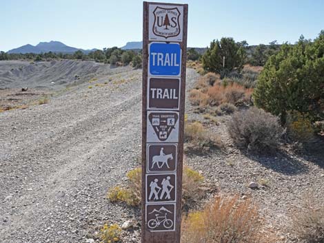 Blue Loop Trail sign along Road 45995 (view NW) |
 Trailhead parking (view SE) |
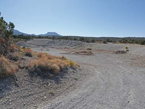
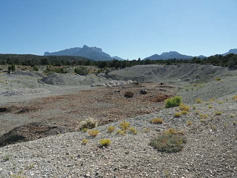 Gravel Pit (view SW from near trailhead parking) |
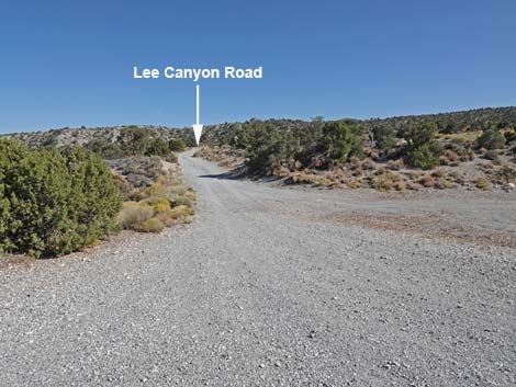 Exiting the trailhead heading towards Lee Canyon Road (view S) |
 More to come ... |
Table 1. Highway Coordinates (NAD27; UTM Zone 11S). Download Highway GPS Waypoints (*.gpx) file.
| Site | Location | UTM Easting | UTM Northing | Latitude (N) | Longitude (W) | Elevation (ft) |
|---|---|---|---|---|---|---|
| 0668 | Hwy 95 at Lee Canyon Road (Hwy 156) | 637320 | 4037799 | 36.47745 | 115.46803 | 3,300 |
| 1907 | Lee Canyon Road at Gravel Pit Road | 624762 | 4026934 | 36.38124 | 115.60992 | 6,581 |
| 1908 | Gravel Pit Parking Area | 624666 | 4027036 | 36.38217 | 115.61097 | 6,529 |
Happy Hiking! All distances, elevations, and other facts are approximate.
![]() ; Last updated 240329
; Last updated 240329
| Hiking Around Mt Charleston | Hiking Around Las Vegas | Glossary | Copyright, Conditions, Disclaimer | Home |