Hiking Around Las Vegas, Mount Charleston Area
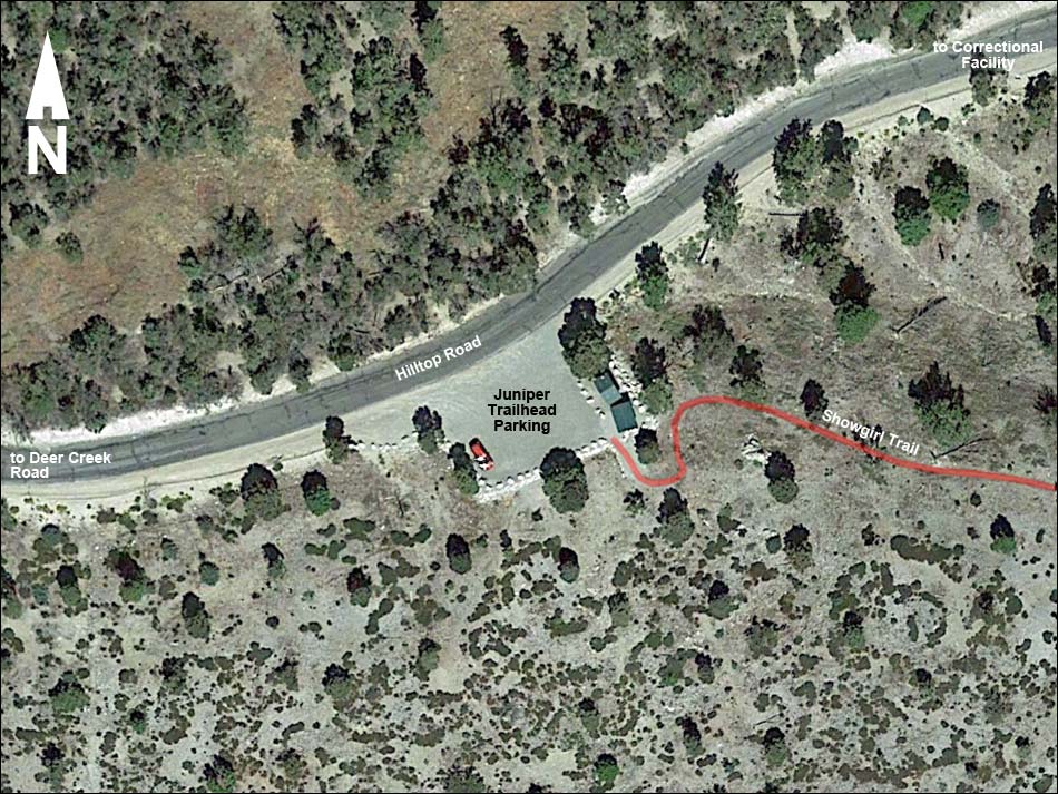
Note: Map based on aerial photograph. Trails and routes are red (solid = main; dashed = adjacent or alternate).
Happy Hiking! All distances, elevations, and other facts are approximate.
![]() ; Last updated 170729
; Last updated 170729
| Juniper Trailhead | Hiking Around Mt. Charleston | Glossary | Copyright, Conditions, Disclaimer | Home |