Hiking Around Las Vegas, Mount Charleston Area
 |
Step Ladder Trailhead is located up in the Spring Mountains National Recreation Area (also known as Mt. Charleston), about 35 minutes northwest of Las Vegas along Kyle Canyon Road near the Spring Mountains Visitor Center. From town, drive north on Highway 95 for 16.5 miles to Kyle Canyon Road (Site 0667). Turn left onto Kyle Canyon Road and drive southwest for 23.3 miles to the round-about at the Spring Mountains Visitor Center. Approaching the round-about, the trailhead toilets are visible on the right. After entering the round-about, take the first exit to the right, which then bends back parallel to Kyle Canyon Road. Continue into the large, paved Step Ladder Trailhead parking area. Link to Trailhead Map. Step Ladder Trailhead provides access to several of the Telephone Canyon area trails including the Step Ladder and Shady Hollow trails. |
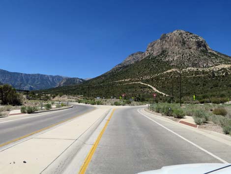 Kyle Canyon Road approaching round-about (view W) |
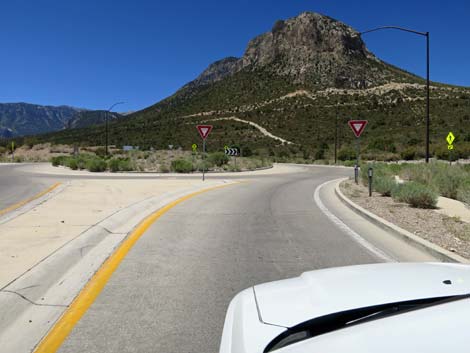 Kyle Canyon Road entering round-about (view W) |
 in round-about, exit first right (view NW) |
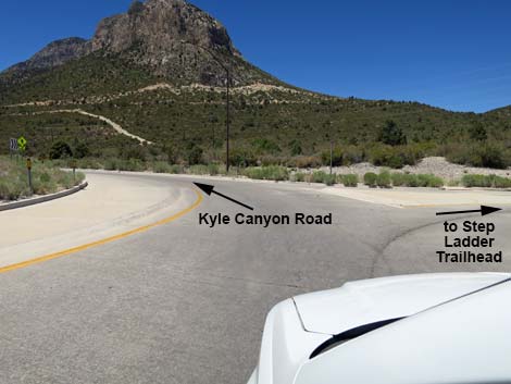
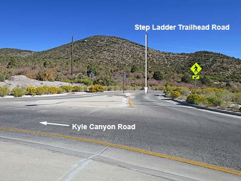 Step Ladder Trailhead Road (view N from Kyle Canyon Road) |
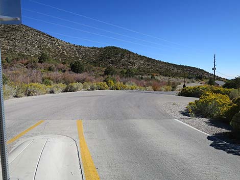 Step Ladder Trailhead Road (view NE) |
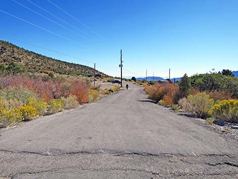 Step Ladder Trailhead Road (view E) |
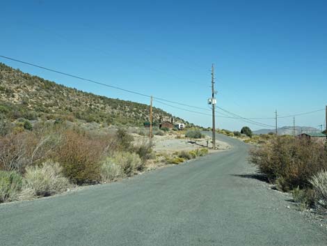 Step Ladder Road (view E) |
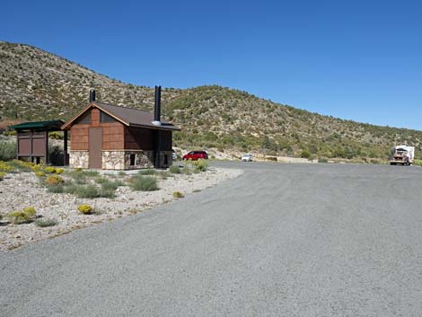 Step Ladder Road approaching Step Ladder Trailhead parking (view E) |
 Step Ladder Road entering trailhead parking area (view E) |
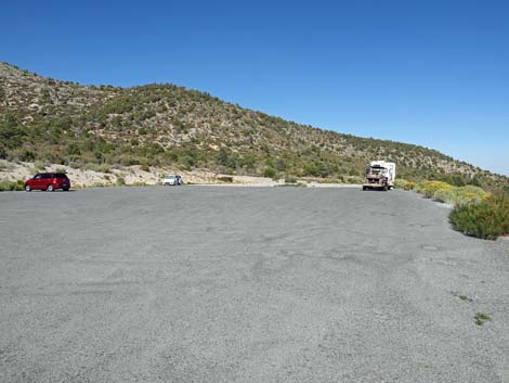
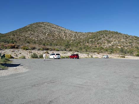 Step Ladder Trailhead parking area (view NE) |
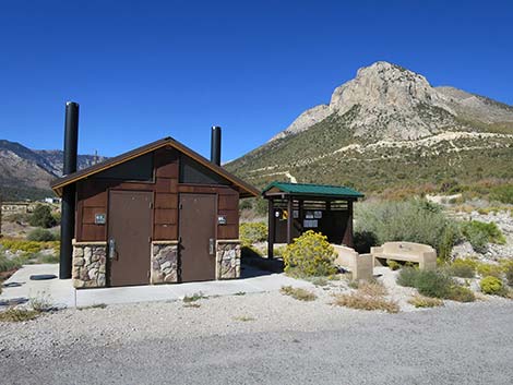
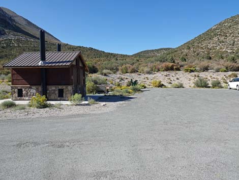 Step Ladder Trailhead toilet (view N) |
 Step Ladder Trailhead toilet (view N) |
| Step Ladder Trailhead toilet and information kiosk (view NW) |
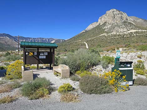 Step Ladder Trailhead benches and information kiosk (view NW) |
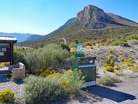 Step Ladder Trailhead trash cans (view NW) |
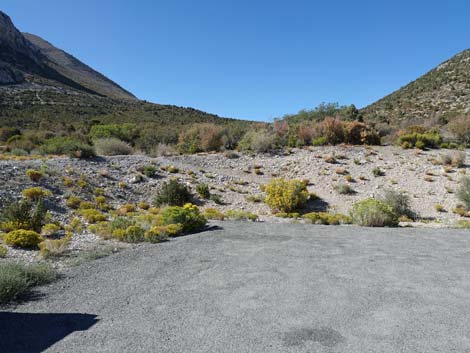 Step Ladder Trailhead parking and trail departing the area (view N) |
 Trail departing the parking area (view NW) |
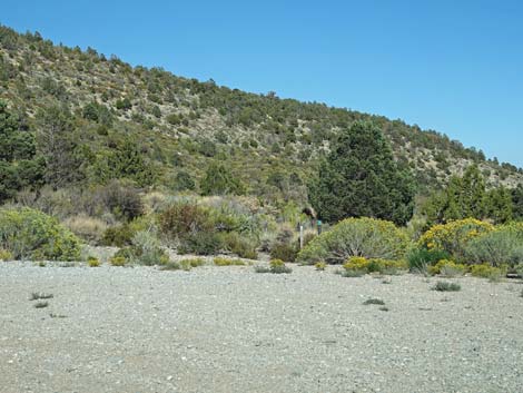 Trails departing the area (view NW) |
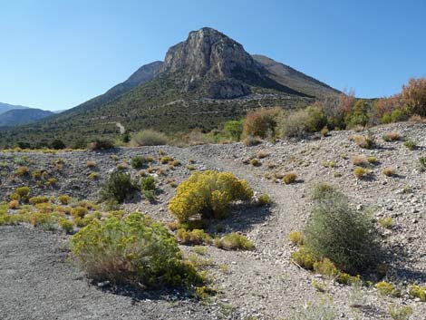
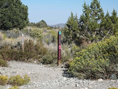 Step Ladder Trail and Shady Hollow Trail signs (view E) |
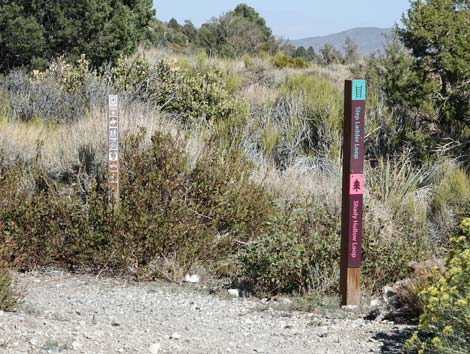 Step Ladder Trail and Shady Hollow Trail signs (view E) |
Table 1. Highway Coordinates (NAD27; UTM Zone 11S). Download Highway GPS Waypoints (*.gpx) file.
| Site | Location | UTM Easting | UTM Northing | Latitude (N) | Longitude (W) | Elevation (ft) |
|---|---|---|---|---|---|---|
| 0667 | Hwy 95 at Kyle Canyon Rd | 651544 | 4021405 | 36.32758 | 115.31167 | 2,820 |
| 1610 | Kyle Cyn Rd at Round-About | 627158 | 4014886 | 36.27236 | 115.58433 | 6,601 |
| 1945 | Step Ladder Trailhead Parking | 627331 | 4014976 | 36.27315 | 115.58239 | 6,591 |
Happy Hiking! All distances, elevations, and other facts are approximate.
![]() ; Last updated 240329
; Last updated 240329
| Hiking Around Mt Charleston | Hiking Around Las Vegas | Glossary | Copyright, Conditions, Disclaimer | Home |