Hiking Around Las Vegas, Red Rock Canyon National Conservation Area
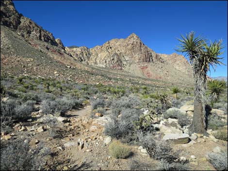
 Trailhead parking (view NW) |
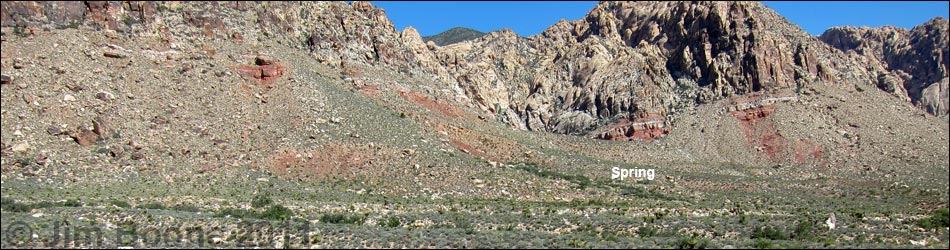
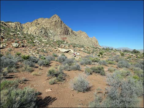
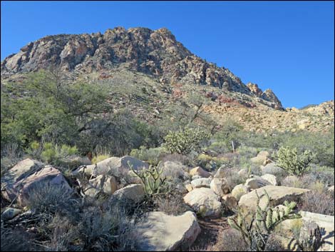
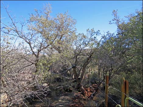
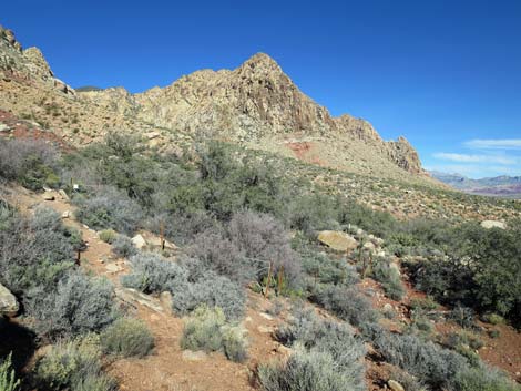
Overview This fairly easy trail runs about 0.5 miles to a spring with oak trees, birds, and petroglyphs tucked against the base of sandstone cliffs at the south end of the Red Rock Escarpment. The trail generally runs through diverse vegetation typical of the Mojave Desert Scrub habitat type, and during the hike, the sandstone cliffs, which are inside the Rainbow Mountain Wilderness Area, loom higher and higher, eventually dominating the landscape as hikers draw near the springs. Link to map. |
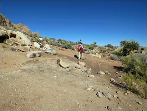
 Hiker departing the trailhead (view NW) |
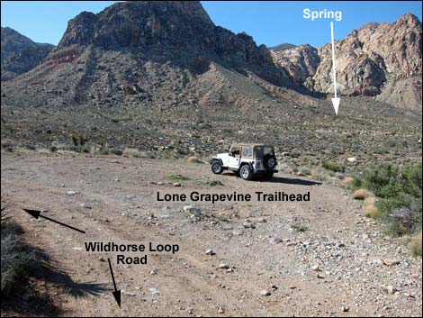
As an in-and-out hike, visiting Lone Grapevine Spring requires about 1 mile of walking. Hikers and birders might consider walking a slightly longer loop (about 1-1/2 miles) by including Wooden Fence Spring in their desert adventure via the Two Springs Loop Trail. The plethora of mountain bike trails in the area provide additional opportunities for hiking loops that include these and other springs. Starting from the paved Late Night Trailhead and connecting bike trails and dirt roads to reach the spring makes a nice morning hike on the Two Springs Loop Trail. Access is from Highway 160 using Black Velvet Road, Lone Grapevine Road, and Wildhorse Road, all of which should be suitable in a carefully driven sedan to about 0.1 miles short of the Lone Grapevine Trailhead. |
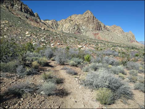
 Unmarked trail departs the parking area (view NW) Unmarked trail departs the parking area (view NW) |
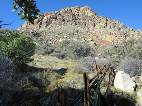
Watch Out Other than the standard warnings about hiking in the desert, ...this hike is fairly short and safe with no unusual hazards. Without a high-clearance vehicle, be sure to drive carefully and stop at the parking area atop a steep ravine about 0.1 miles before the trailhead. While hiking, please respect the land and the other people out there, and try to Leave No Trace of your passage. Also, even though this hike is short, be sure to bring what you need of the 10 Essentials. |
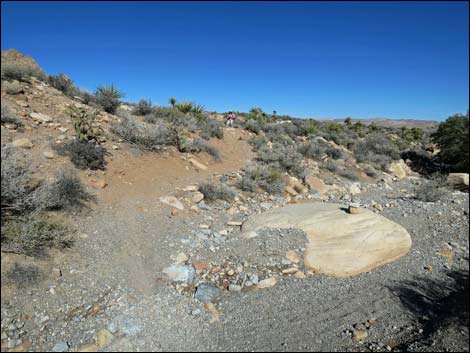
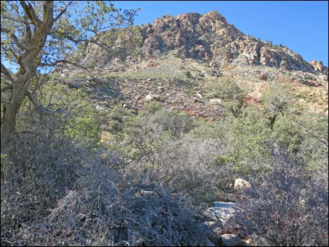
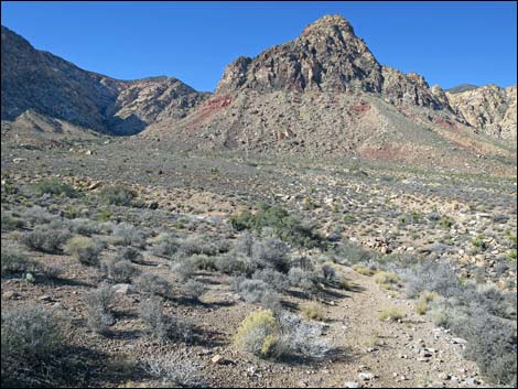 Trail drops off hillside towards wash (view NW) |
Getting to the Trailhead This hike is located in Red Rock Canyon NCA, but not in the Scenic Loop Road fee area. From the Red Rock Visitor Center area, drive west then south on West Charleston Blvd (Hwy 159) past Blue Diamond Town to Highway 160. Turn right onto Highway 160 and drive west for 4.7 miles to the paved Late Night Trailhead on the right. From the northeast end of the paved parking area, follow Black Velvet Road for 1.3 miles to either of two roads to the left. These roads merge to become Lone Grapevine Road. Follow Lone Grapevine Road to a T-intersection with Wildhorse Road. Turn right onto Wildhorse Road and drive northwest to Lone Grapevine Trailhead. Without a 4WD vehicle, consider stopping at Lone Grapevine parking area #1. For hikers who do not want to drive on dirt roads, consider parking at Late Night Trailhead and walking the Two Springs Loop Trail to the Lone Grapevine Trailhead. |
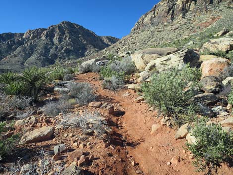
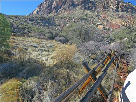
 Trail turns left to run above the wash (view W) |
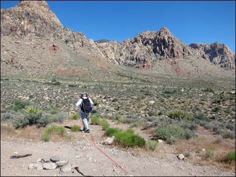
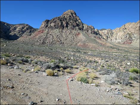
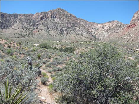
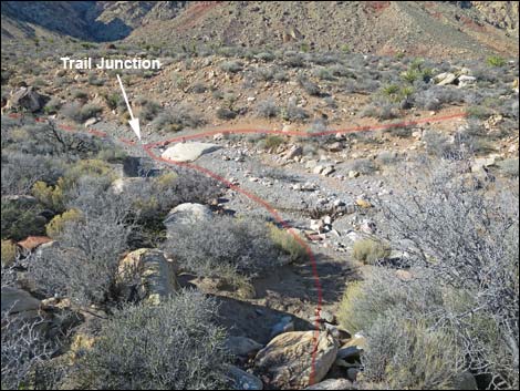
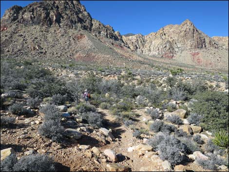
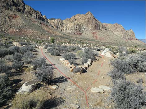
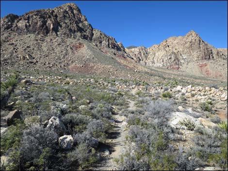
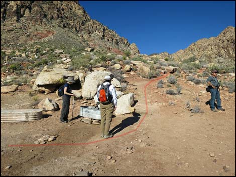
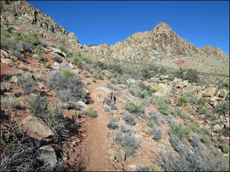
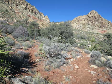
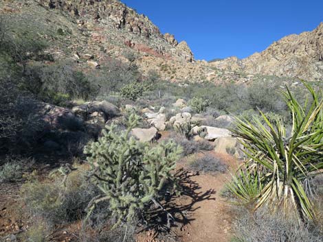
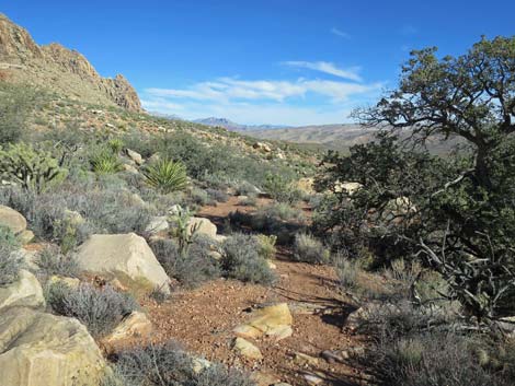
The Hike From the trailhead (Table 1, Waypoint 08; parking area #2), trees growing at the spring can be seen in the distance to the northwest. Starting out, the unmarked trail runs northwest and down towards the wash below. Just before dropping into the wash, the better trail turns left and runs upstream for about 100 feet before dropping into the wash and connecting with a trail (T-intersection) that crosses the wash (Wpt. 09). The trail turns right and follows the well-defined mountain-bike trail. The Lone Grapevine Trail runs across rolling terrain in open desert with many species of shrubs, including blackbrush, indigo bush, Virgin River encelia, spiny menodora, and the odoriferous turpentinebroom. There are also lots of Mojave yucca and buckhorn cholla., plus a few Joshua trees. At a fork (Wpt. 10), the trail stays right and continues northwest across rolling terrain. |
 Trail drops into wash (view W) |
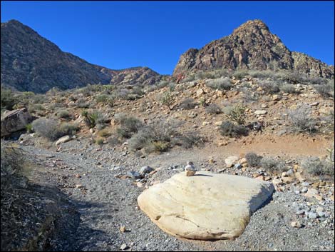
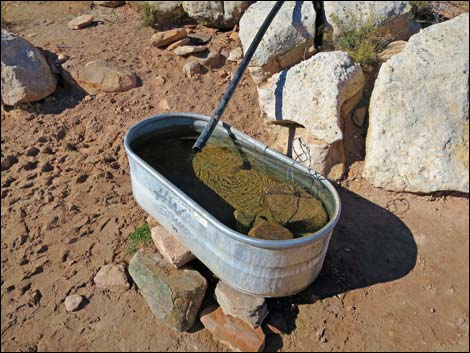
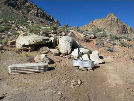
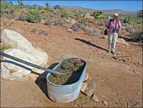
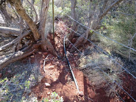
At about 0.36 miles out (Wpt. 11), Lone Grapevine Trail reaches a T-intersection with the Late Night Bike Trail. Continuing straight past the junction, the trail runs out 30 yards to a pair of metal watering troughs (Wpt. 12) at the base of the hillside ahead. One trough is fed by a black plastic pipe that comes down the hillside from Lone Grapevine Spring. There is no vegetation around the troughs, apparently victims of years of trampling from cows and horses in the old days, and feral burros, bighorn sheep, mule deer, and other wildlife these days. Water in the desert attracts White-tailed Antelope Squirrels, songbirds, and other creatures to life-giving moisture, and the few rocks piled in the trough help them get out without drowning if they fall in -- please don't remove these few rocks. Surprisingly, Red-spotted Toads breed in the troughs. Beyond the watering trough, the trail switchbacks up the steep hillside, then diagonals up and across the slope following the black water pipe and heading for a cluster of trees 0.1 miles distant. |
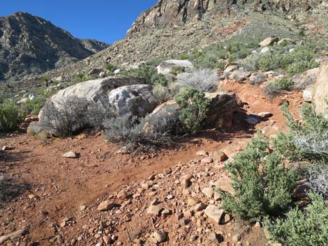
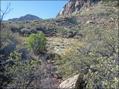
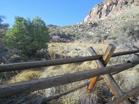
 Trail junction in wash; loop turns right (view W) |
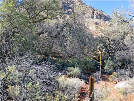
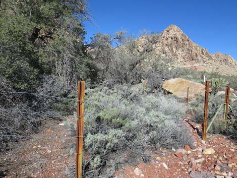
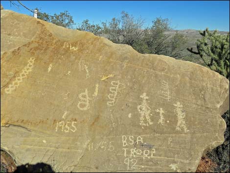
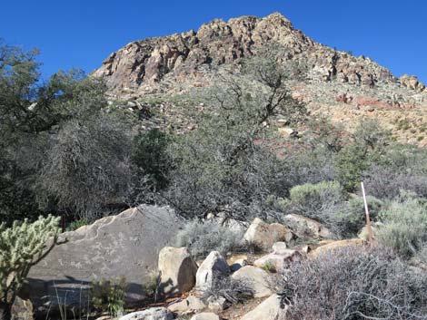
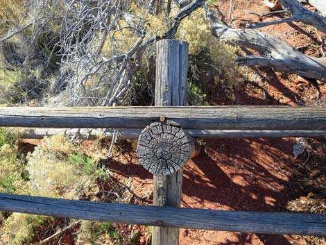
The spring area (Wpt. 13) is fenced, so it probably is better to stay outside and not trample the vegetation. The large trees around the spring are canyon live oak and velvet ash trees, and shrub live oak grow on the drier edges. At the spring, proper, cattails grow in the wettest area, and there is lots of other damp-land species. Shrubs in the surrounding area include sagebrush, sandpaper plant, eastern Mojave buckwheat, and blackbrush. There are also lots of Mojave yucca, buckhorn cholla, and some desert needlegrass. Be sure to check sandstone boulders outside the fence for rock art and colorful lichens, and spend some time listening to birdsongs. When ready to head back, either follow your footprints back to the trailhead, or consider making a loop. For instance, from just below the watering trough, follow the Two Springs Loop Trail west and then south to Wooden Fence Spring. Beyond that spring, the trail runs back to the road at a point about 0.2 miles south of the Lone Grapevine Trailhead. |
 Trail turns out of wash (view N) |
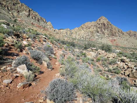
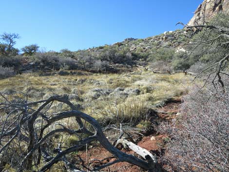
 Trail drops through wooded wash (view NW) |
 |
 |
 |
 |
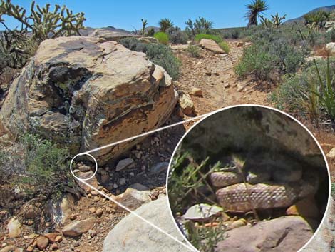 A little friend waiting in ambush along the trail (view SE) |
 Trail stays left at a fork (view N) |
 Approaching the watering troughs (view N) |
 Hiker at watering troughs (view N) |
 Watering trough |
 Watering troughs (view NW) |
 Rocks in the trough save drowning birds and mammals |
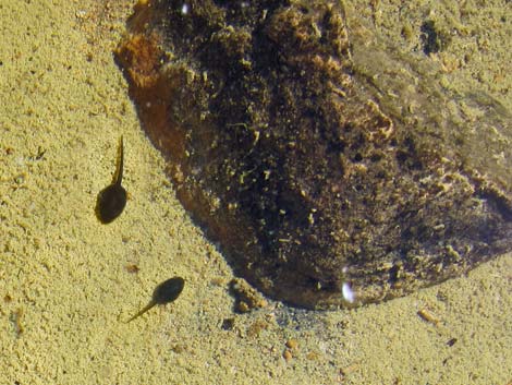 Red Spotted Toad tadpoles in trough |
 Trail climbs hillside above watering troughs (view NW) |
 Trail climbs hillside towards Lone Grapevine Spring (view NW) |
 Trail switchbacks up the hillside (view SW) |
 Trail switchbacks up the hillside (view SW) |
 Climbing directly towards the spring (view NW) |
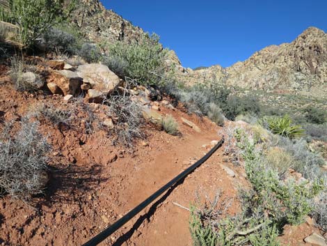 Water pipe that feeds the watering trough (view NW) |
 Approaching Lone Grapevine Spring (view NW) |
 Arriving at Lone Grapevine Spring (view NW) |
 Lone Grapevine Spring (view NW) |
 Lone Grapevine Spring (view NW) |
 Lone Grapevine Spring (view W) |
 Lone Grapevine Spring (view W) |
 |
 |
 South side South side |
 Lone Grapevine Spring |
 North side |
 North side |
 Lone Grapevine Spring (view W) |
 Lone Grapevine Spring (view W) |
 |
 |
 Lone Grapevine Spring (view W) |
 Water pipe leaving the spring area |
 |
 |
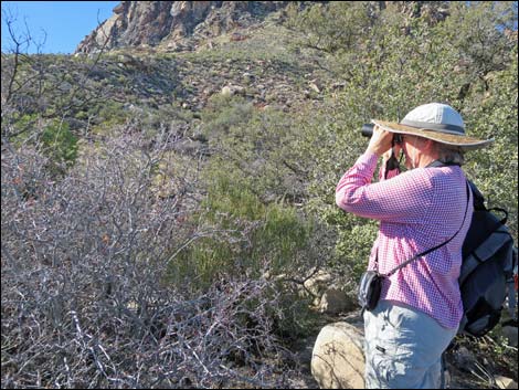 Bird watcher at Lone Grapevine Spring (view W) |
Nice views north |
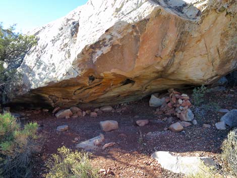 Rock shelter |
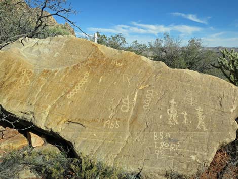
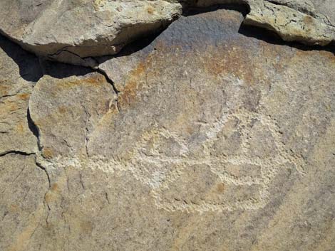
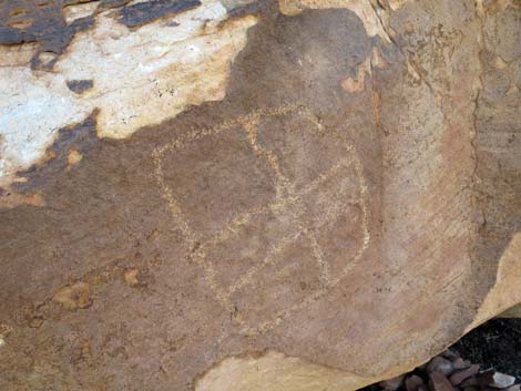 Petroglyph above rock shelter |
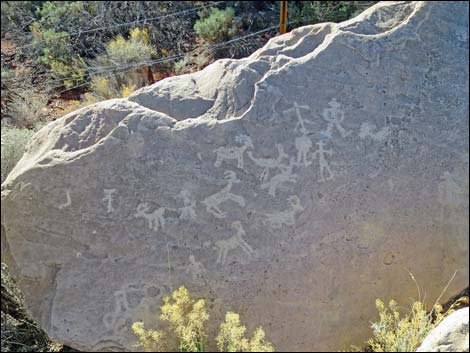
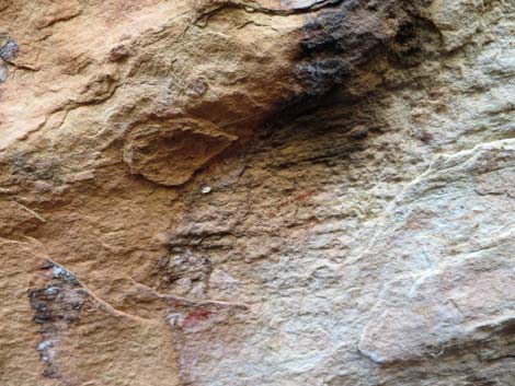 Pictographs inside rock shelter |
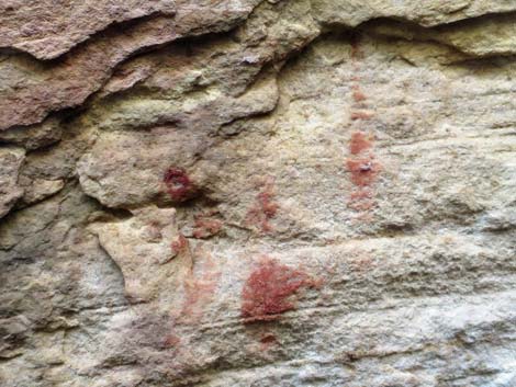 Pictographs inside rock shelter |
 View of the spring from the rock shelter (view N) |
 More to come ... |
Table 1. Hiking Coordinates and Distances based on GPS Data (NAD27; UTM Zone 11S). Download Hiking GPS Waypoints (*.gpx) file.
| Wpt. | Location | UTM Easting | UTM Northing | Elevation (ft) | Point-to-Point Distance (mi) | Cumulative Distance (mi) | Verified |
|---|---|---|---|---|---|---|---|
| 08 | Lone Grapevine Trailhead | 639476 | 3986558 | 4,026 | 0.00 | 0.00 | GPS |
| 09 | Trail Junction | 639392 | 3986565 | 4,000 | 0.06 | 0.06 | GPS |
| 10 | Fork in the Trail | 639349 | 3986687 | 4,029 | 0.10 | 0.16 | GPS |
| 11 | Trail Junction | 639151 | 3986871 | 4,046 | 0.19 | 0.35 | GPS |
| 12 | Watering Trough | 639137 | 3986912 | 4,041 | 0.02 | 0.37 | GPS |
| 13 | Lone Grapevine Spring | 639035 | 3986997 | 4,112 | 0.11 | 0.48 | GPS |
| 08 | Lone Grapevine Trailhead | 639476 | 3986558 | 4,026 | 0.48 | 0.96 | GPS |
Happy Hiking! All distances, elevations, and other facts are approximate.
![]() ; Last updated 240330
; Last updated 240330
| Hiking Around Red Rocks | Hiking Around Las Vegas | Glossary | Copyright, Conditions, Disclaimer | Home |