Hiking Around Las Vegas, Other Areas
 |
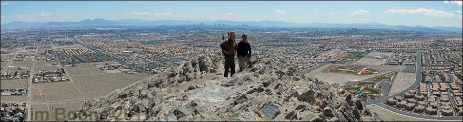
Lone Mountain -- Discovery Park Trailhead. Lone Mountain is located in the northwest part of urban Las Vegas, just inside the Western Beltway (Highway I-215) between Lone Mountain and Alexander roads. From town, drive north on Highway 95 or Highway 215 to the northwest part of town. From Highway 95, exit onto Craig Road and drive west 3.5 miles directly towards Lone Mountain, which can be seen ahead in the distance. Craig Road dead-ends into Jensen Street (just before the mountain) and adjacent to Discovery Park. Turn left and drive south 0.1 miles to the entrance to Discovery Park, on the right. At the south edge of the park, turn right into the park and drive to the parking lot at the end of the pavement (Table 1, Wpt. 1270). Park here in the paved parking area. Link to trailheads map. |
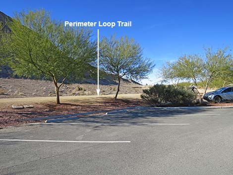 The Perimeter Loop Trail runs adjacent to the parking lot (view NW) |
From Highway 215, exit the beltway and turn right onto W Lone Mountain Road. Drive east on Lone Mountain Road 0.5 miles (passing Lone Mountain Regional Park) to Jensen Street. Turn right onto Jensen and drive south 0.6 miles to Discovery Park, on the right. At the south edge of the park, turn right into the park and drive to the parking area at the end of the pavement (Table 1, Wpt. 1270). Park here in the paved parking area. |
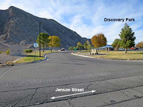
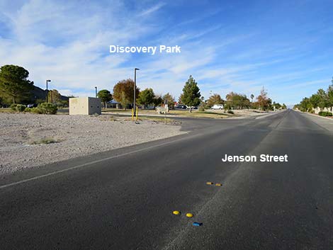 Jensen Street at Lone Mountain Discovery Park (view N) |
 Entrance to Discovery Park (view NW) |
 Discovery Park entrance sign (view N) |
 Entering the trailhead parking area (view N) |
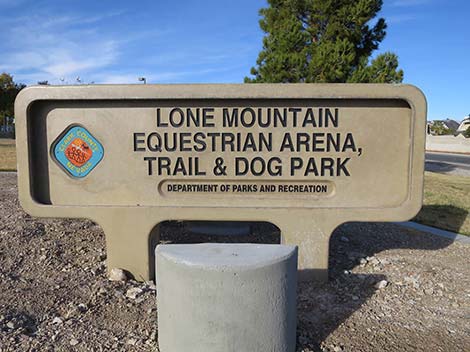
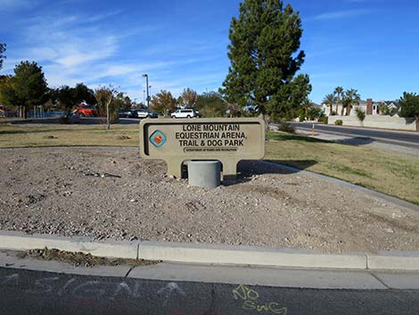
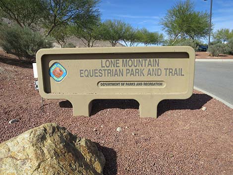 Sign: Lone Mountain Equestrian Park and Trail |
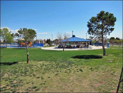 Discovery Park playground (view N) |
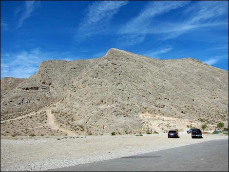 Overflow parking below Lone Mountain (view W) |
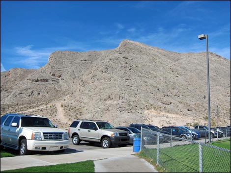 Overflow parking at the dog park (view W) |
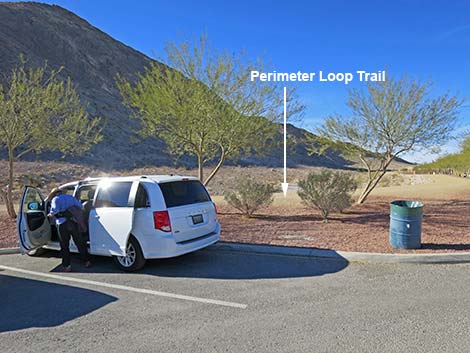 The Perimeter Loop Trail parking lot (view NW) |
The Perimeter Loop Trail runs adjacent to the parking lot (view NW) |
Table 1. Highway Coordinates Based on GPS Data (NAD27; UTM Zone 11S). Download Highway GPS Waypoints (*.gpx) file.
| Site # | Location | Latitude (°N) | Longitude (°W) | UTM Easting | UTM Northing | Elevation (feet) | Verified |
|---|---|---|---|---|---|---|---|
| 1270 | Discovery Park | 36.23932 | 115.30911 | 651944 | 4011617 | 2,593 | Yes |
Happy Hiking! All distances, elevations, and other facts are approximate.
![]() ; Last updated 240330
; Last updated 240330
| Lone Mountain | Hiking Around Las Vegas | Glossary | Copyright, Conditions, Disclaimer | Home |