Hiking Around Las Vegas, Red Rock Canyon National Conservation Area
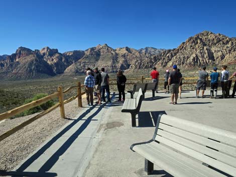 |
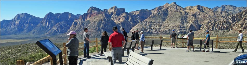
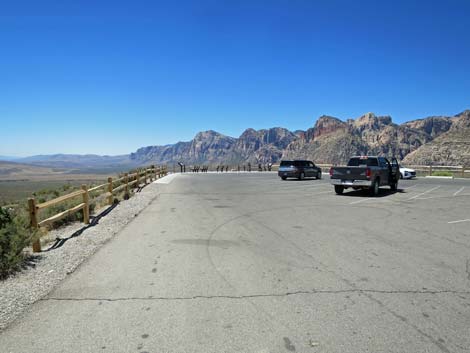
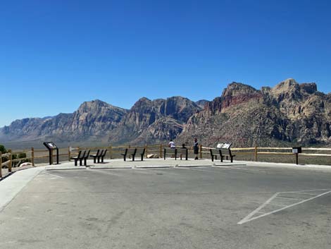
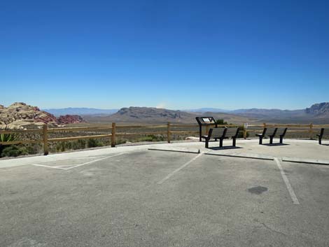
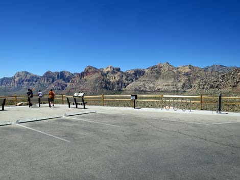
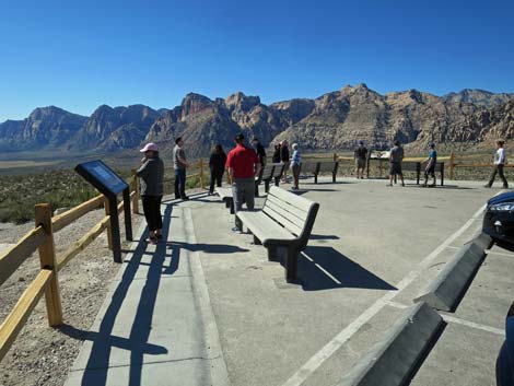
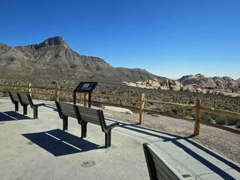
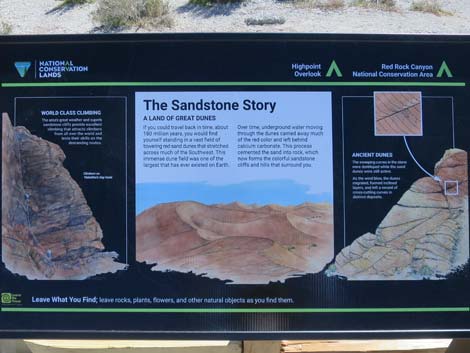
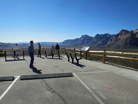
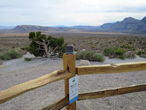
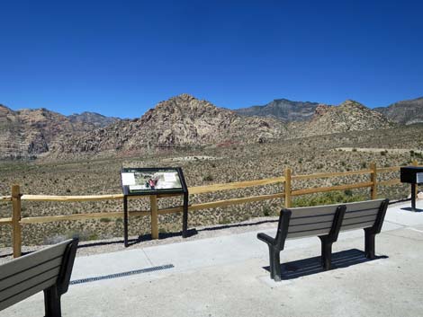
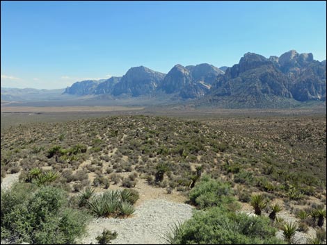
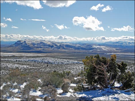
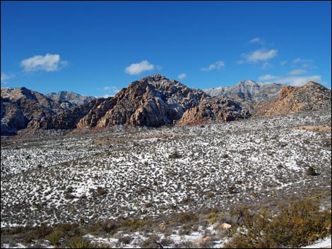
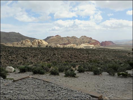
Overview Travelers need a scenic place to stop the car, get out, line everyone up, and take the "we were here -- isn't this a beautiful place" photo. For Red Rocks, the Scenic Loop Road High Point Overlook is that place. Views to the south are spectacular. Facing downhill (south), Turtlehead Peak (to the left) towers above the landscape. Below Turtlehead are the red-and-white sandstone Calico Hills. More due south is Blue Diamond Hill, a mountain of limestone. To the right are the Wilson Cliffs: the grand Red Rock escarpment. The natural view is to look out and downhill, but don't forget to turn around and look north at the limestone La Madre Mountain Range, which towers above the entire landscape. Scenic Loop Road Highpoint is located about 4.7 miles around the 13-mile Scenic Loop Road, and at 4,780 feet, this really is the highest point on the road. |
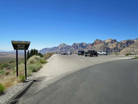 Scenic Loop Road arriving at High Point Overlook (view SW) |
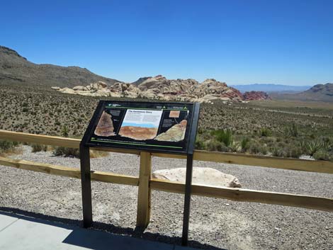
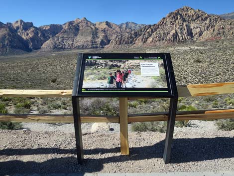
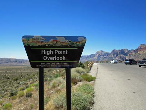 High Point Overlook sign (view SW) |
 |
 |
 |
 |
 |
 |
 |
 |
 |
 |
 |
 |
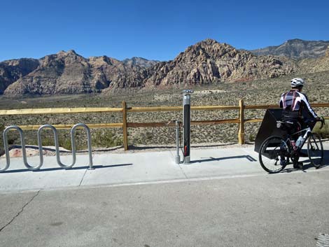
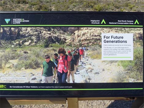
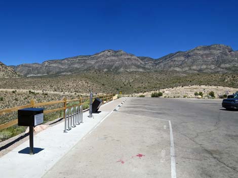
 Snap a photo and contribute to Citizen Science |
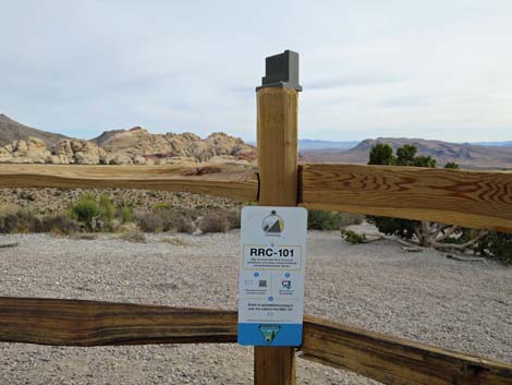 Hold your phone in the bracket and snap a photo |
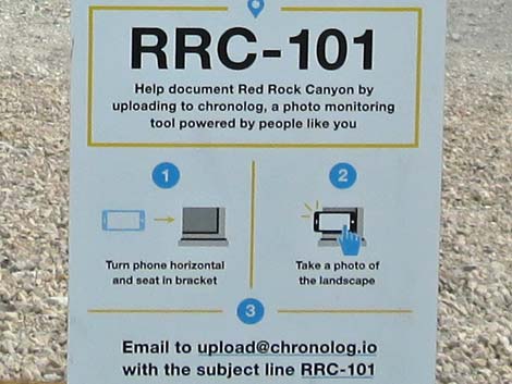 Citizen Science instructions for RRC-101 |
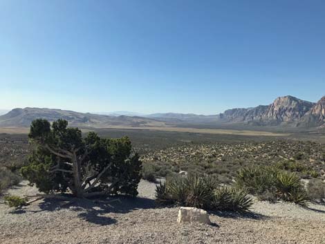 Photo emailed to upload@chronolog.io |
 |
 |
 |
 |
 |
 |
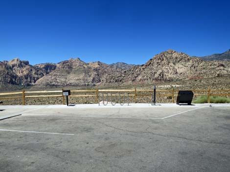
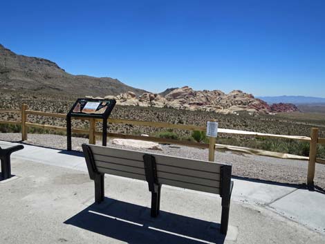
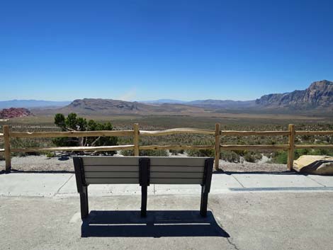
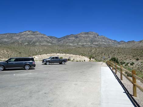
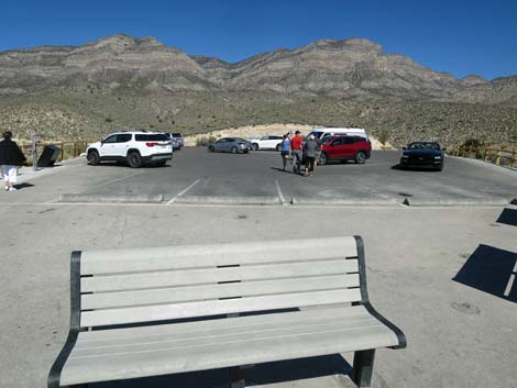 Bench, parking area, and La Madre Mountain Range (view N) |
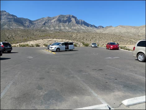 Parking area and La Madre Mountain Range (view N) |
 |
 |
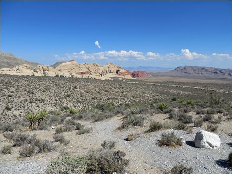 Calico Hills during summer (view SE) |
 Red Rock Cliffs on a hazy summer afternoon (view SSW) |
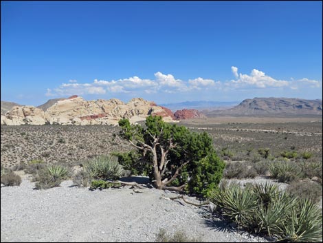 Calico Hills during summer (view SE) |
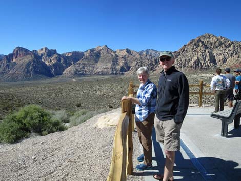
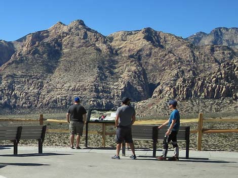
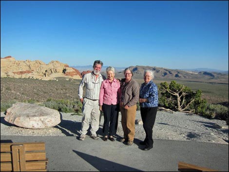 Line 'em up: and getting the "we were here" photo before the fence |
 Calico Hills (view SE) |
 Las Vegas through the gap Calico Hills (view SSE) |
 Blue Diamond Hill (view S) |
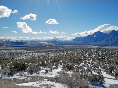 Cottonwood Valley and Wilson Cliffs (view SSW) |
 Wilson Cliffs (view W) |
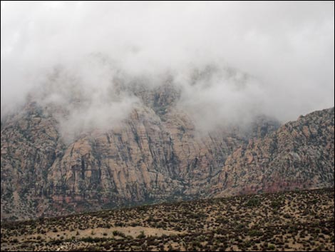
 Cloudy day (view SE) |
 Rainy day (view NW) |
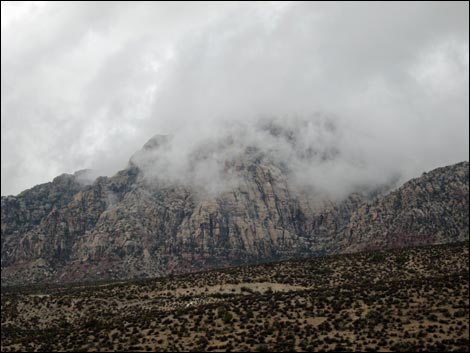 Rainy day (view NW) |
Happy Hiking! All distances, elevations, and other facts are approximate.
![]() ; Last updated 240330
; Last updated 240330
| Hiking Around Red Rocks | Hiking Around Las Vegas | Glossary | Copyright, Conditions, Disclaimer | Home |