Backroads Around Las Vegas, Red Rock Canyon NCA
overall map | northern section | southern section
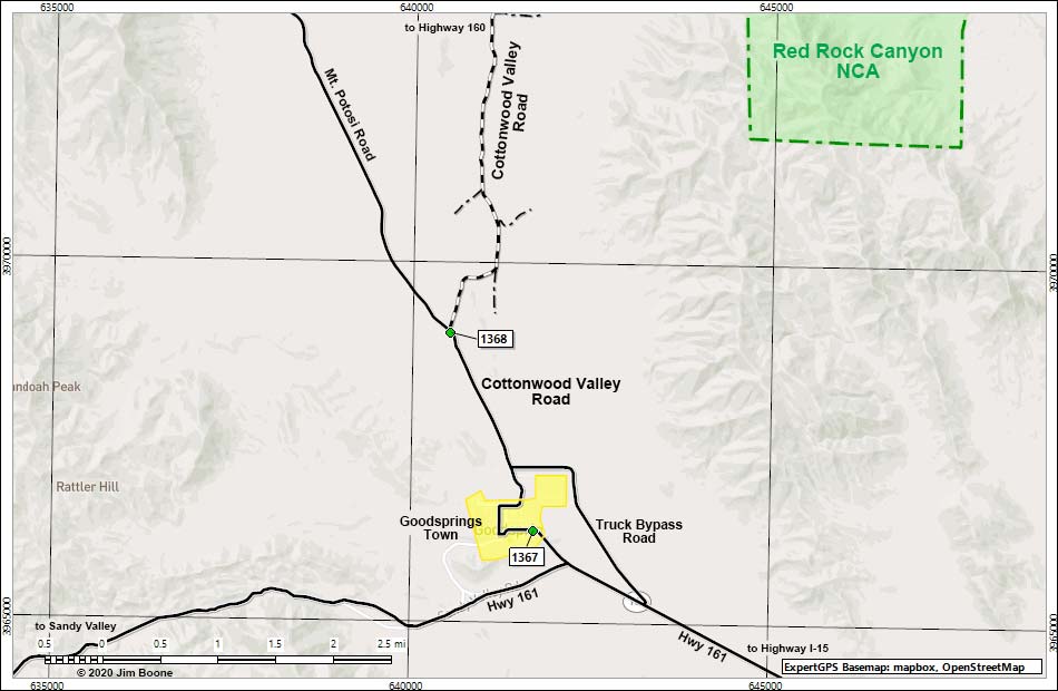
Note: Map based on OpenStreeMap. Grid is UTM NAD27 CONUS. Roads are black (solid = paved; dashed = unpaved; width implies quality). Trails and routes are red (solid = main; dashed = adjacent or alternate). Washes, streams, and lakes are blue (solid = permanent; dashed = intermittent). National Monument Areas (boundaries dash-dot green, fill light green) based on BLM data. Urban areas (yellow) based on Google Earth (8/2019) image. BLM areas (no color overlay) based on BLM data. Download waypoint coordinates from route description page.
Happy Hiking! All distances, elevations, and other facts are approximate.
![]() ; Last updated 200727
; Last updated 200727
| Cottonwood Valley Road | Hiking Around Red Rocks | Glossary | Copyright, Conditions, Disclaimer | Home |