Hiking Around Las Vegas, Red Rock Canyon National Conservation Area
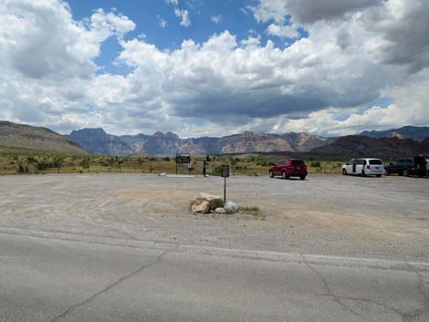
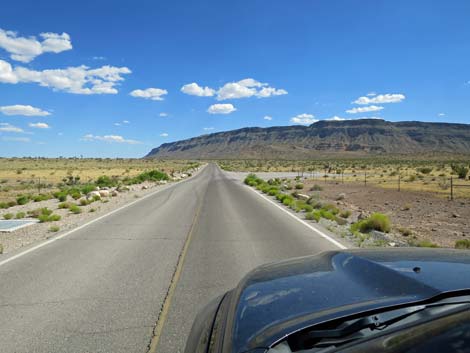 Moenkopi Road approaching Moenkopi Road Trailhead (view S) |
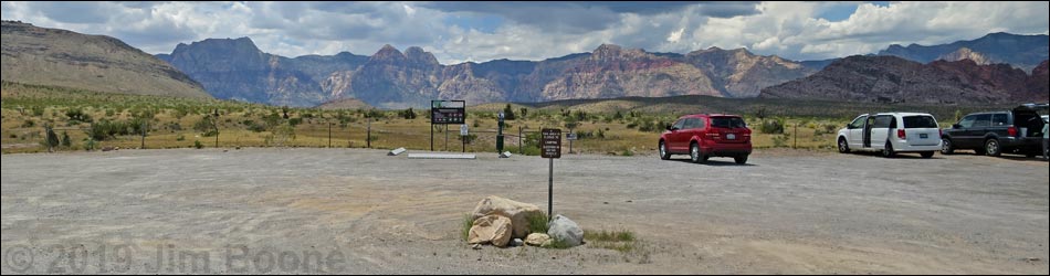
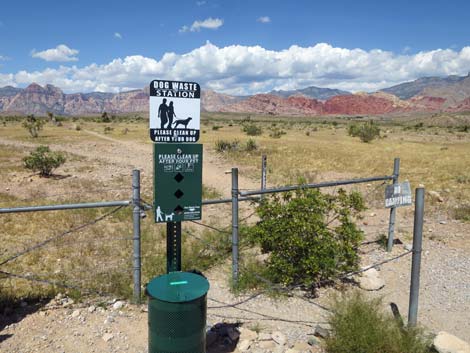
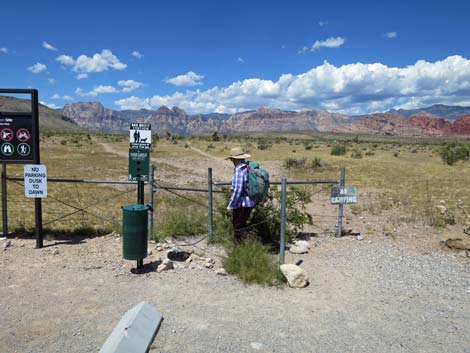
Moenkopi Road Trailhead (aka Moenkopi Road Recreation Site, Campground Trailhead) is located in Red Rock Canyon National Conservation Area, but outside the Scenic Loop Road area. The trailhead is about 25 minutes west of Las Vegas. From town, drive out to Red Rocks. From West Charleston Blvd at Highway I-215, the "Western Beltway" (Table 1, Site 0516), drive west on Charleston out into the desert for 3.3 miles to Moenkopi Road (Site 0995). Watch for campground signs. Turn left onto Moenkopi Road and drive south towards Red Rock Campground. For day hikers, drive 0.3 miles to a parking area on the west side of the road (Site 0996). Everything beyond this parking area is a "no parking zone" for day hikers. Rude, I know, but park here; this is the Moenkopi Road Trailhead. Link to trailhead map. |
 |
For campers, continue into the campground, park at your campsite, then walk out into the desert from there. Moenkopi Road Trailhead provides access to hikes in the campground area, including access to several miles of relatively flat walking. Trails: Campground Area Trails, Fire Station Hill, Campground Flats, Gun Range Ridge, Campground Knoll, Campground Wash. |
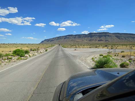
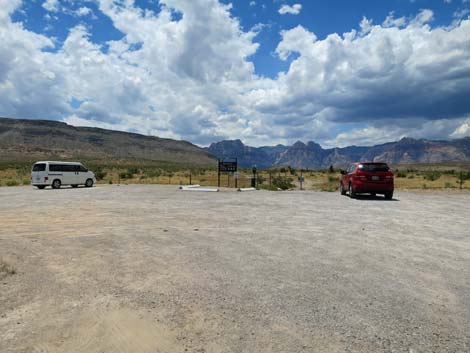
Moenkopi Road Trailhead Westbound
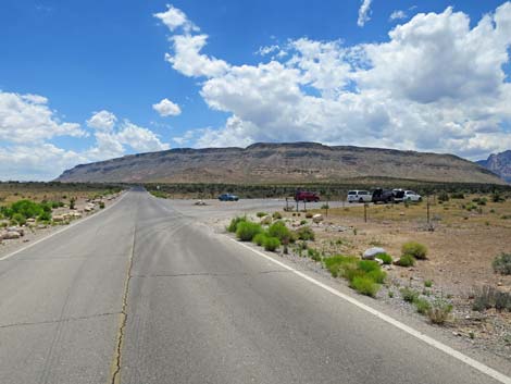
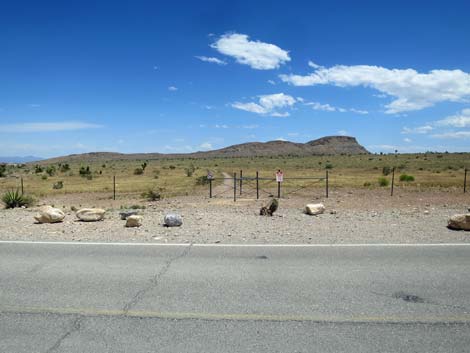
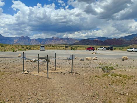
 Moenkopi Road approaching the Campground Trailhead (view S) |
 Campground Trailhead (view W from Moenkopi Road) |
 |
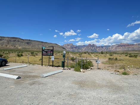 |
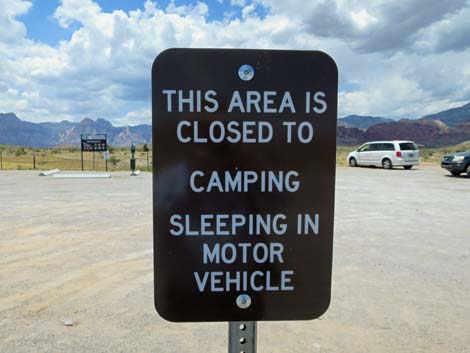
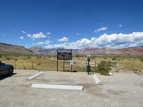 Westbound trailhead sign (view W) |
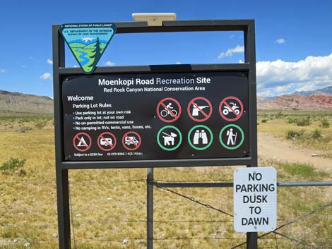 Westbound trailhead sign (view W) |
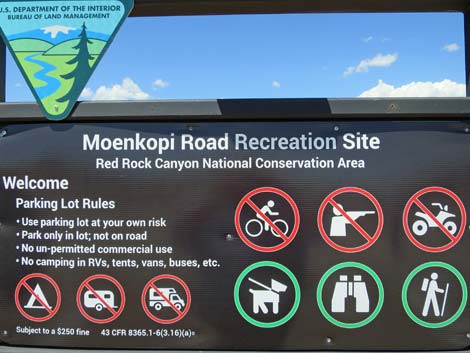 Westbound trailhead sign (view W) |
 |
 |
 |
Moenkopi Road Eastbound Trailhead
 Eastbound Campground Trailhead (view E from Moenkopi Road) |
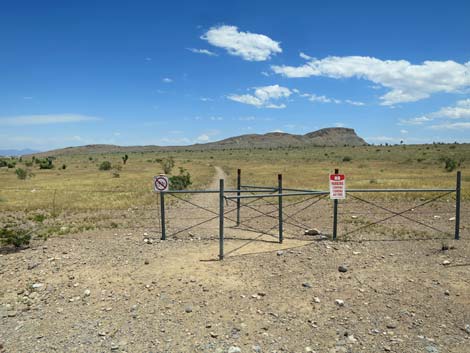 Eastbound Campground Trailhead (view E) |
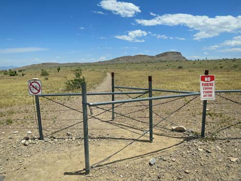 Eastbound trailhead (view E) |
 Returning to trailhead (view W) |
Table 1. Highway Coordinates (NAD27; UTM Zone 11S). Download Highway GPS Waypoints (*.gpx) file.
| Site # | Location | Latitude (N) | Longitude (W) | UTM Easting | UTM Northing | Elevation (feet) | Verified |
|---|---|---|---|---|---|---|---|
| 0516 | Charleston at the Beltway | 36.15920 | 115.33580 | 649697 | 4002685 | 3,141 | Yes |
| 0995 | Charleston Blvd at Campground Road | 36.14402 | 115.39035 | 644819 | 4000921 | 3,404 | Yes |
| 0996 | Campground Road at Public Trailhead | 36.13976 | 115.39145 | 644728 | 4000447 | 3,445 | Yes |
Happy Hiking! All distances, elevations, and other facts are approximate.
![]() ; Last updated 240330
; Last updated 240330
| Hiking Around Red Rocks | Hiking Around Las Vegas | Glossary | Copyright, Conditions, Disclaimer | Home |