Hiking Around Las Vegas, Red Rock Canyon National Conservation Area
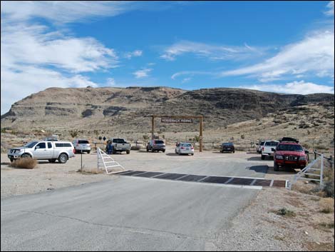
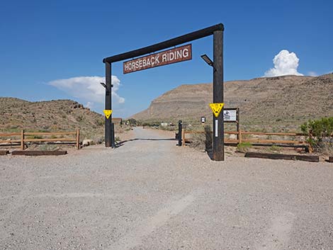
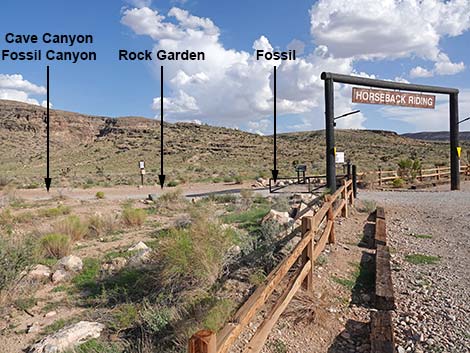
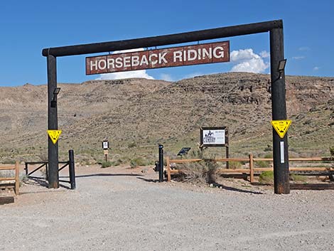 Horseback Riding sign (view E) |
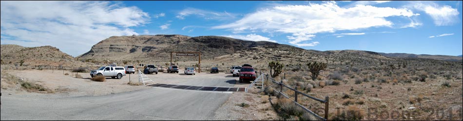
The Cowboy Trail Rides Trailhead is located in Red Rock Canyon National Conservation Area, but outside the Scenic Loop Road area. The trailhead is about 30 minutes west of Las Vegas. From town, drive out to Red Rocks. From West Charleston Blvd at Highway I-215, the "Western Beltway" (Table 1, Site 0516), drive west on Charleston Blvd (Highway 159) out into the desert. Pass the turnoff into the Scenic Loop Area (Site 0519), and continue west on Charleston Blvd. for 1.1 miles to the "Horseback Riding" parking lot on the left (southeast) side of the road (Site 0853). Park here; this is the trailhead. From the other direction, the trailhead is 1.2 miles north of the Scenic Loop Road exit (Site 0532). Link to trailhead map. |
 |
The Cowboy Trail Rides Trailhead provides access to trails in the Blue Diamond Hill area, including access to several miles of moderate to strenuous hiking and mountain biking trails. Trails: Blue Diamond Hill Bike Trails, Cat-N-Hat Trail, Cave Canyon Trail, First Finger Trail, Fossil Canyon Trail, Fossil Canyon Loop, Fossil Ridge Trail, Jeep Trail, Muffin Trail, Rock Garden Trail, To-The-Top Trail. |
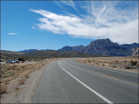 Charleston Blvd, approaching Cowboy Trailhead from Las Vegas |
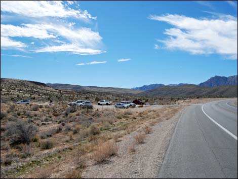 Approaching Cowboy Trailhead from Las Vegas (view S) |
 Approaching Cowboy Trailhead (view S) |
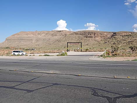 Cowboy Trailhead (view E from Charleston Blvd) |
 Entering Cowboy Trailhead (view E from Charleston Blvd) |
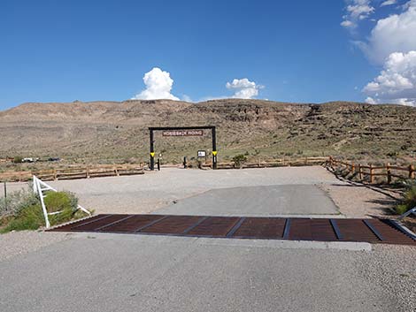 Turning into Cowboy Trailhead (view E from Charleston Blvd) |
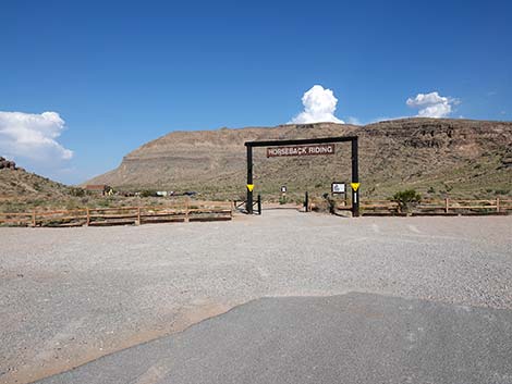 Entering Cowboy Trailhead (view E) |
 Entering Cowboy Trailhead (view E) |
 |
 |
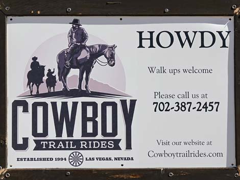
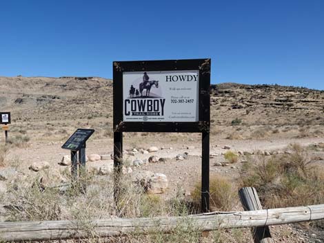 Cowboy Trail Rides information sign (view E) |
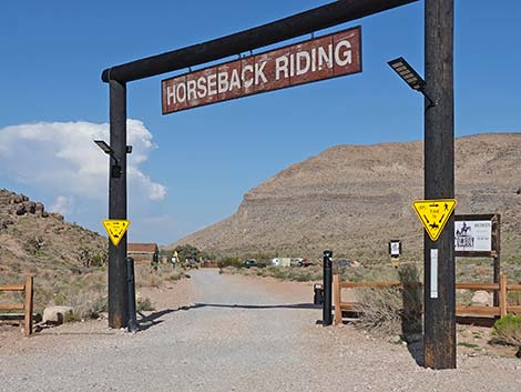
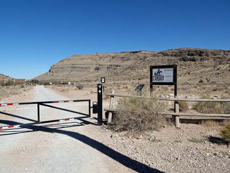
 The gate is normally open (view SE) |
 When gate is closed, just walk through side gate (view SE) |
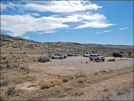
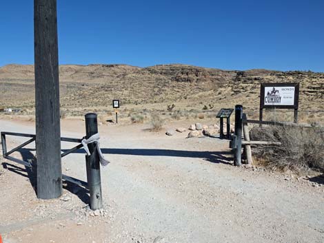
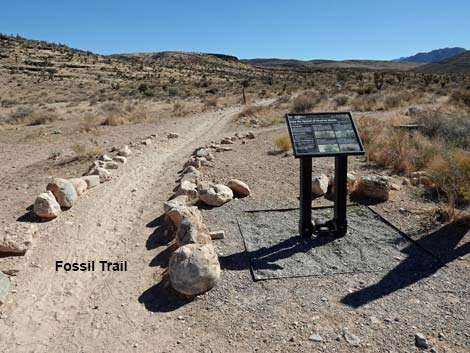
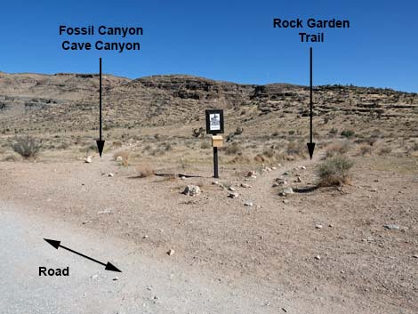
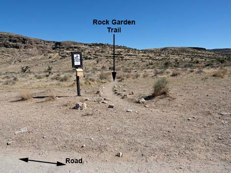
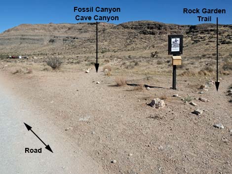
 Three trail depart the trailhead (view S from parking area) |
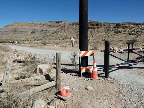
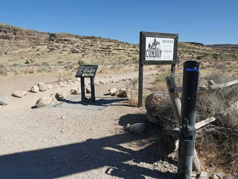 Just inside the gate, information signs (view S) |
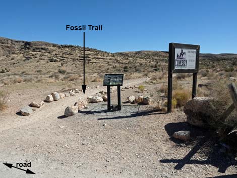 Just inside the gate, Fossil Trail forks right (view S) |
 Fossil Trail and information sign (view S) |
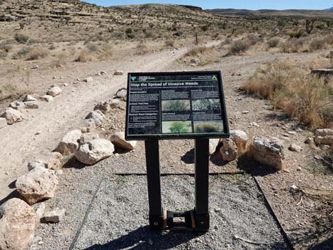 Information sign: Stop the Spread of Invasive Weeds |
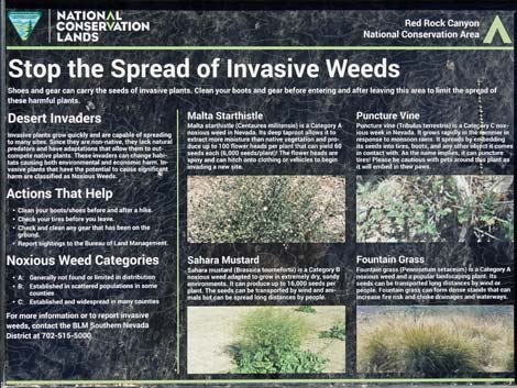 Information sign: Stop the Spread of Invasive Weeds |
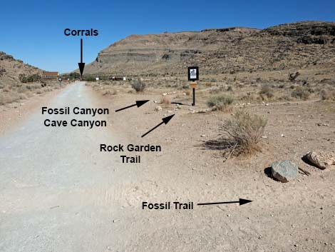 Three trails immediately depart the trailhead (view E) |
 |
 |
 |
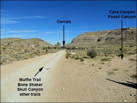 |
Table 1. Highway Coordinates (NAD27; UTM Zone 11S). Download Highway GPS Waypoints (*.gpx) file.
| Site # | Location | Latitude (N) | Longitude (W) | UTM Easting | UTM Northing | Elevation (feet) | Verified |
|---|---|---|---|---|---|---|---|
| 0516 | Charleston at the Beltway | 36.15920 | 115.33580 | 649697 | 4002685 | 3,141 | Yes |
| 0519 | Charleston at Scenic Loop Entrance | 36.13161 | 115.42048 | 642131 | 3999501 | 3,681 | Yes |
| 0532 | Scenic Loop Rd Exit | 36.11127 | 115.44868 | 639629 | 3997203 | 3,846 | Yes |
| 0853 | Cowboy Trail Rides Parking | 36.12153 | 115.43280 | 641040 | 3998365 | 3,705 | Yes |
Happy Hiking! All distances, elevations, and other facts are approximate.
![]() ; Last updated 240330
; Last updated 240330
| Hiking Around Red Rocks | Hiking Around Las Vegas | Glossary | Copyright, Conditions, Disclaimer | Home |