Hiking Around Las Vegas, Red Rock Canyon National Conservation Area
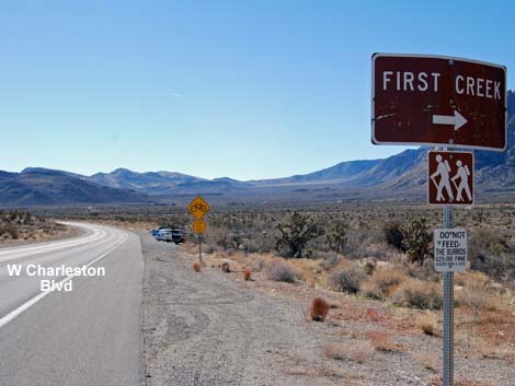 West Charleston Blvd approaching First Creek Trailhead (view S) |
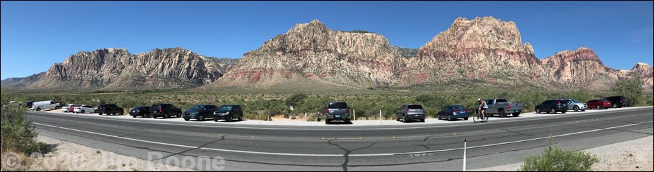
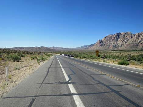
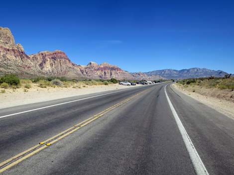
The First Creek Trailhead is hike is located in Red Rock Canyon National Conservation Area, about 25 minutes west of downtown Las Vegas, but not in the Scenic Loop Road fee area. The trailhead is located on West Charleston Blvd (Highway 159) south of the exit from the Scenic Loop Road. This trailhead is not in the fee area. From town, drive out to Red Rocks. From West Charleston Blvd at the entrance to the Scenic Loop Road (Table 1, Site 519), continue west on Charleston Blvd. for 4.2 miles to a parking area on the right (west) side of the road (Site 518). This is a broad road shoulder area, not a defined parking lot. Park here; this is the trailhead. Link to trailhead map. |
 Trailhead: gate in the fence (view NW) |
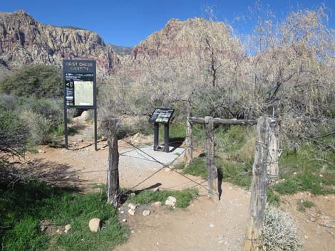
The trailhead is marked by a sign and an information kiosk. If you get to the entrance to Spring Mountain Ranch State Park (Site 673), turn around and drive back north for 0.5 miles to the trailhead. The First Creek Trailhead provides access to hikes in the First Creek Canyon area, including access to a seasonal waterfall and several miles of easy to strenuous hiking. Trails: First Creek Falls. First Creek Canyon. |
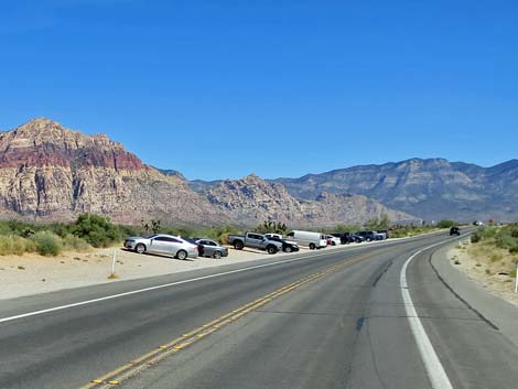
Approaching First Creek Trailhead from the North
 West Charleston Blvd approaching First Creek Trailhead (view S) |
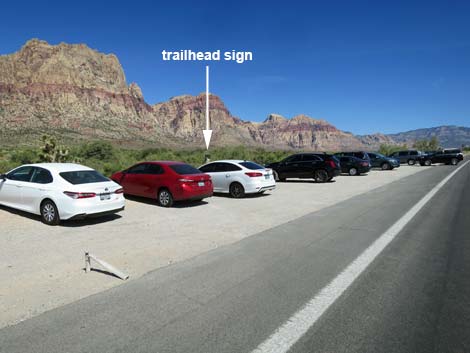
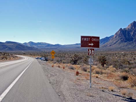 West Charleston Blvd at First Creek Trailhead sign (view S) |
 West Charleston Blvd at First Creek Trailhead (view S) |
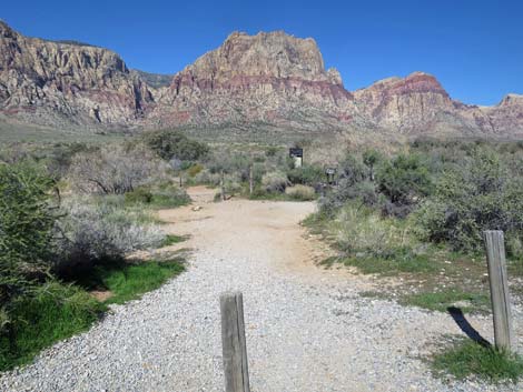
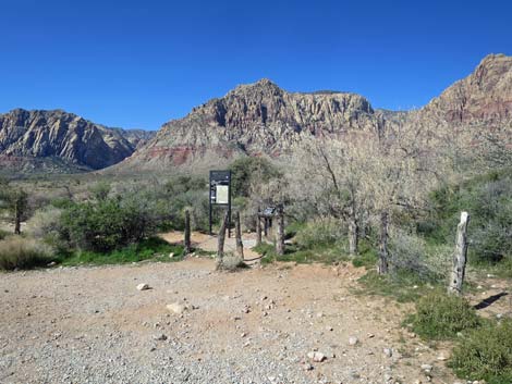
 Walking into the trailhead (view SW) |
Approaching First Creek Trailhead from the South
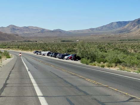
 West Charleston Blvd approaching First Creek Trailhead (view N) |
 West Charleston Blvd at First Creek Trailhead sign (view N) |
 Walking into the trailhead (view SW) |
 Walking into the trailhead (view NW) |
First Creek Trailhead
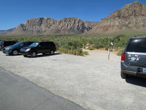
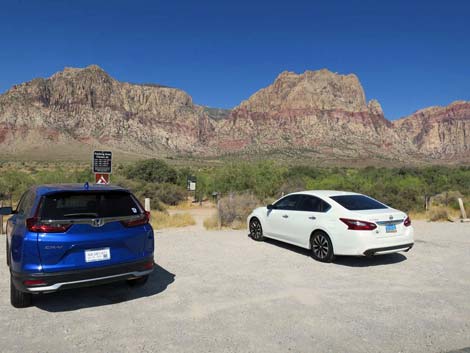
 Trailhead (view NW from parking area) |
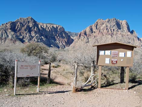
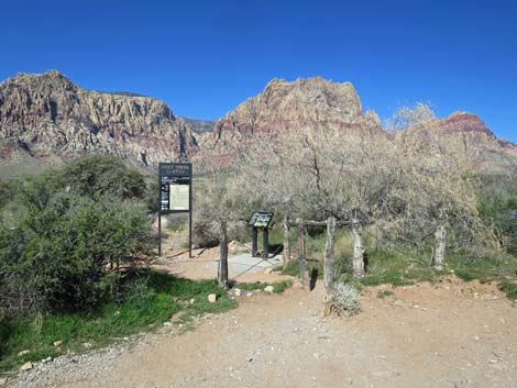 Trailhead gate and signs (view NW) |
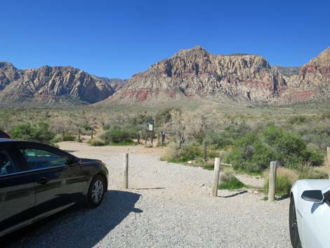 Trailhead (view SW from parking area) |
 Trailhead gate and signs (view SW) |
Trailhead: gate in the fence (view NW) |
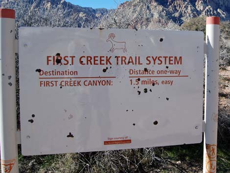
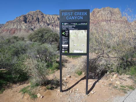 Trailhead sign (view W) |
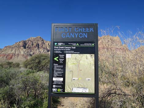 Trailhead sign (view W) |
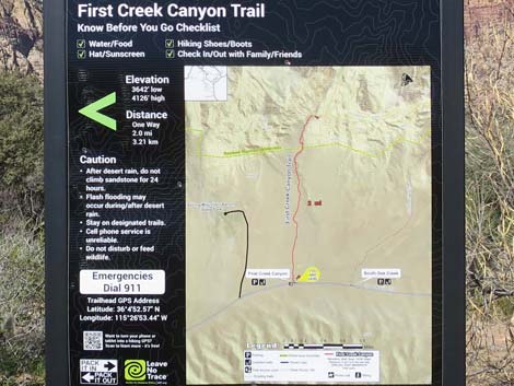 Trail map (view W) |
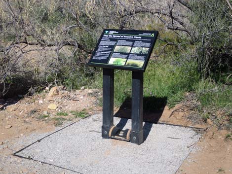 Information sign about invasive weeds with boot brush (view NW) |
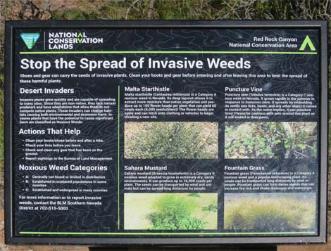 Information sign about invasive weeds (view NW) |
 Historical First Creek Trailhead signs |
 Historical First Creek Trailhead sign |
Table 1. Highway Coordinates (NAD27; UTM Zone 11S). Download Highway GPS Waypoints (*.gpx) file.
| Site # | Location | Latitude (N) | Longitude (W) | UTM Easting | UTM Northing | Elevation (feet) | Verified |
|---|---|---|---|---|---|---|---|
| 0518 | Charleston at First Creek Trailhead | 36.08130 | 115.44720 | 639815 | 3993881 | 3,661 | Yes |
| 0519 | Charleston at Scenic Loop Entrance | 36.13161 | 115.42048 | 642131 | 3999501 | 3,681 | Yes |
| 0673 | Charleston at Spring Mtn Ranch Rd | 36.07365 | 115.44266 | 640237 | 3993039 | 3,600 | Yes |
Happy Hiking! All distances, elevations, and other facts are approximate.
![]() ; Last updated 240330
; Last updated 240330
| Hiking Around Red Rocks | Hiking Around Las Vegas | Glossary | Copyright, Conditions, Disclaimer | Home |