Hiking Around Las Vegas, Red Rock Canyon NCA
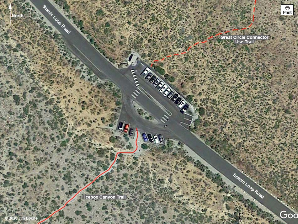
Note: Map based on true-color aerial photography. North is at the top. Aerial photo map based on Google Earth imagery. Trails and routes are red (solid = main; dashed = adjacent or alternate).
Happy Hiking! All distances, elevations, and other facts are approximate.
![]() ; Last updated 200320
; Last updated 200320
| Ice Box Trailhead | Hiking Around Red Rock Canyon | Glossary | Copyright, Conditions, Disclaimer | Home |