Hiking Around Las Vegas, Red Rock Canyon National Conservation Area, Calico Basin
 |
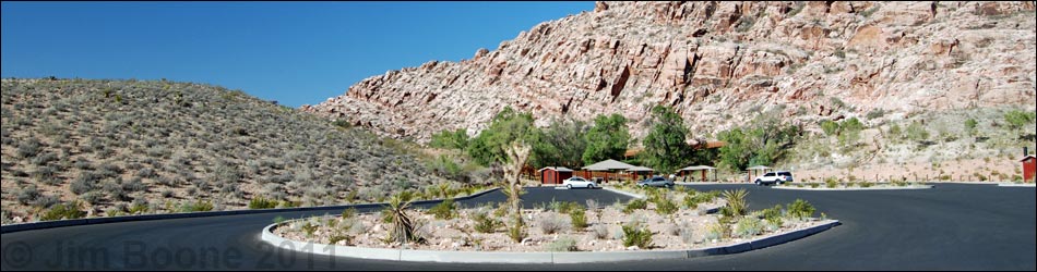
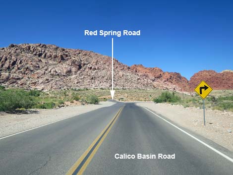
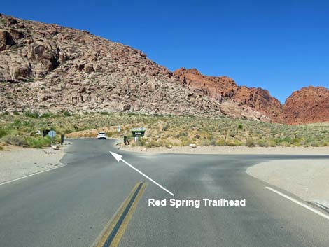
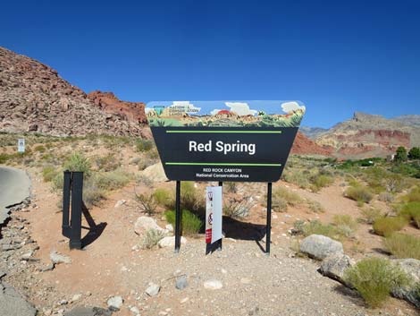
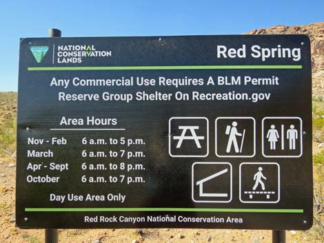
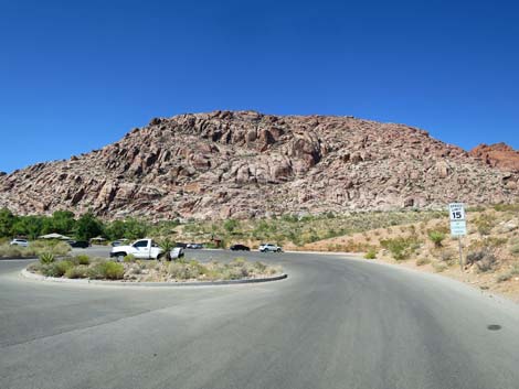
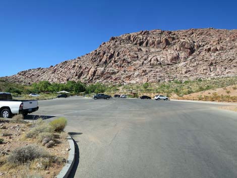
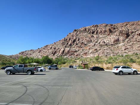
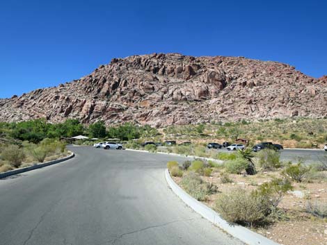
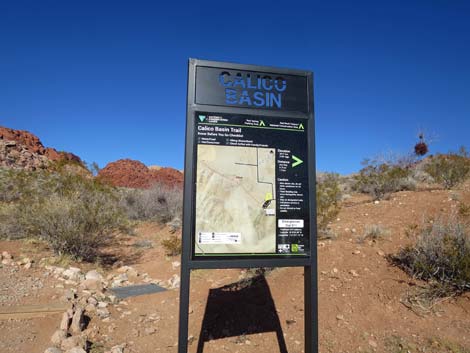
The Red Spring Trailheads are located in Calico Basin, which is about 1.5 miles before the entrance to the Scenic Loop Road in Red Rock Canyon National Conservation Area, about 25 minutes west of Las Vegas. From town, drive out towards Red Rocks. From Charleston Blvd at Highway 215 (the western beltway) (Table 1, Site 0516), drive west on Charleston Blvd for 3.8 miles to Calico Basin Road (Site 520). The turnoff is about 1.5 miles before the Scenic Loop. Turn right onto Calico Basin Road and drive north, then west past houses and corrals, for about 1 mile to where the paved road makes a 90-degree bend to the right. At the bend, continue straight into the Red Spring Parking Area (Site 0464). Park here; this is the trailhead. Link to trailhead map or google map. |
 Trailhead as seen from the cliffs |
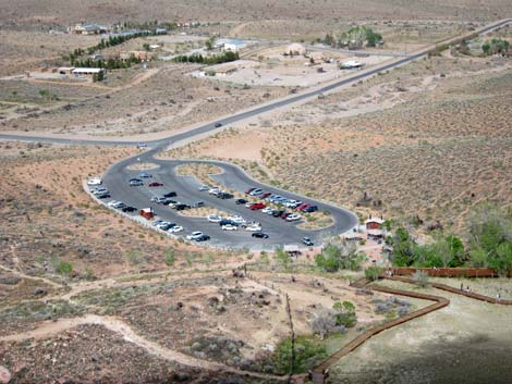
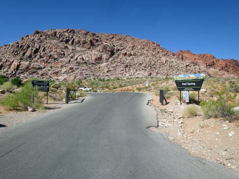
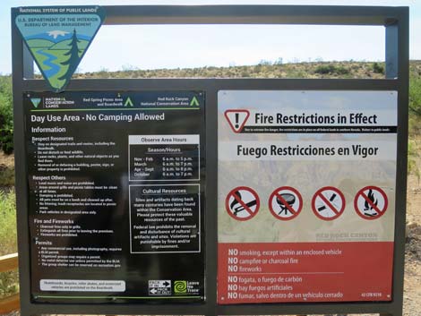
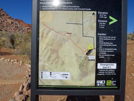
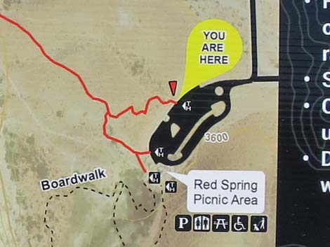
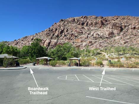
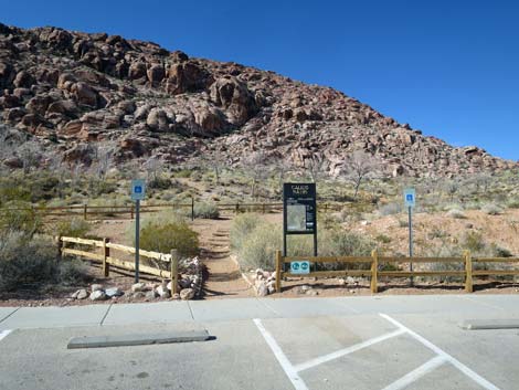
The Red Spring Parking area provides access to four trailheads. A large number of unmarked trails crisscross the area, providing access to the sandstone cliffs (West Trailhead and North Trailhead), several springs (North Trailhead), a boardwalk around a salt meadow (Boardwalk Trailhead), and trails leading south to the Visitor Center and the west side of the Calico Hills (South Trailhead). Trails: Red Spring Boardwalk, Entrance to Red Spring Trail, Calico Hills Loop Trail, Slab Rift, and a variety of off-trail routes, and some rock climbing areas. |
 |
 |
 |
 |
 |
 |
 |
 |
 |
 |
 |
 |
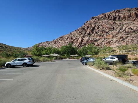
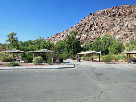
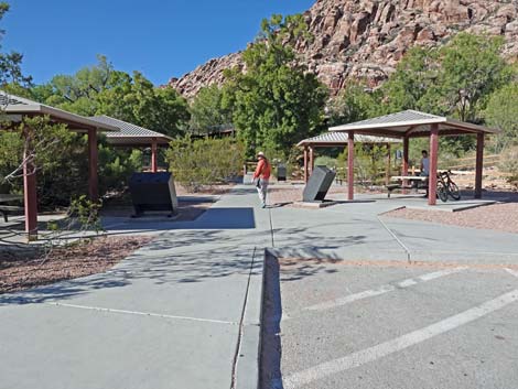
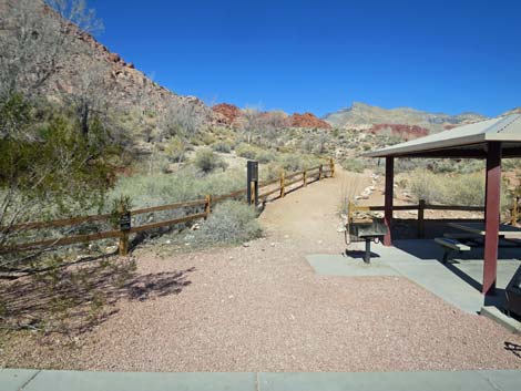
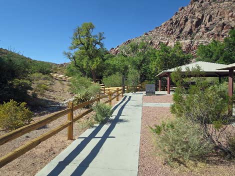
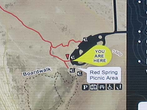
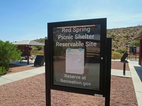 Red Spring picnic area |
 Red Spring picnic area |
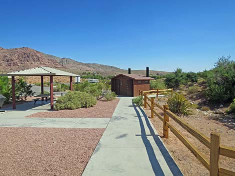 Red Spring picnic area |
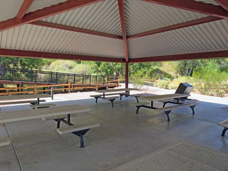 Red Spring picnic area |
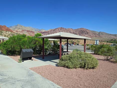 Red Spring picnic area |
 More to come ... |
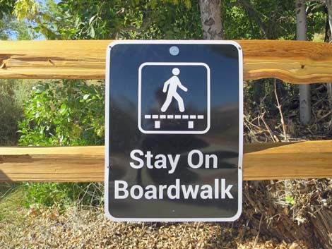
Red Spring Boardwalk Trailhead
 |
 |
 |
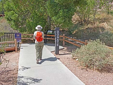 |
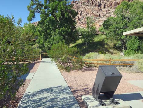
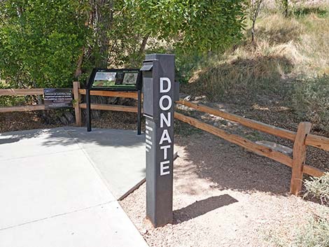 Donation box |
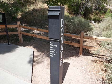 Donation box: drop in a buck or two if you can |
 |
 |
 |
 |
 |
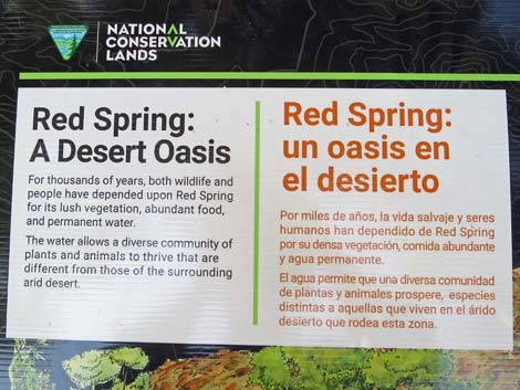 |
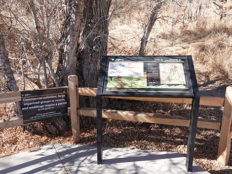
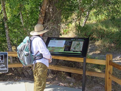
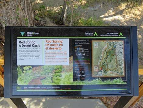
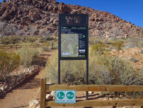
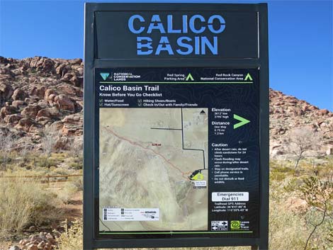
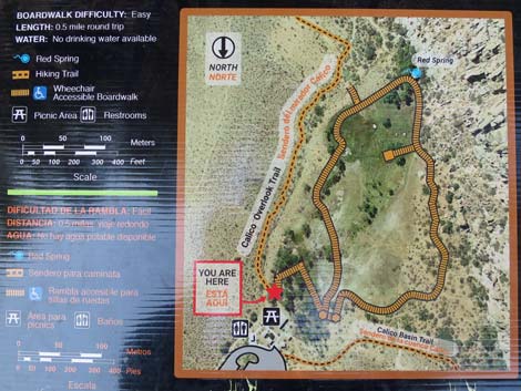 Information sign: map of the area |
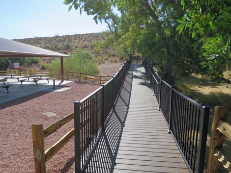 Start of the boardwalk (view S) |
Alternate Calico Hills Trail Trailhead
 Red Spring Boardwalk Trailhead to Calico Hills Trail (view N) |
 Approaching Calico Hills Trail sign (view N) |
 Calico Hills Trail sign (view W) |
More to come ... |
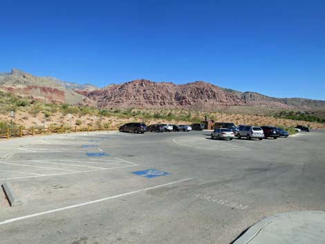
South Trailhead (Calico Overlook Trailhead)
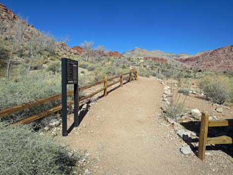
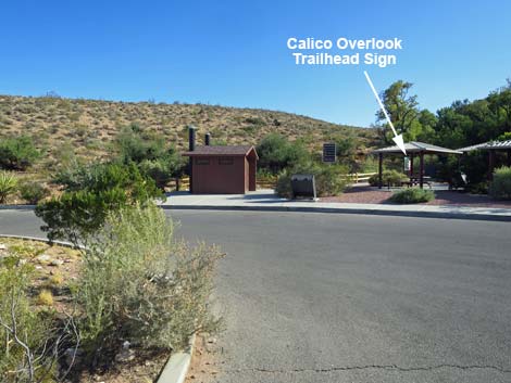 South Trailhead is located behind picnic tables (view SW) |
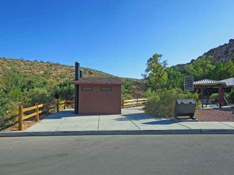 Access South Trailhead by entering past vault toilets (view SW) |
 Sidewalk along fence beyond vault toilets (view W) |
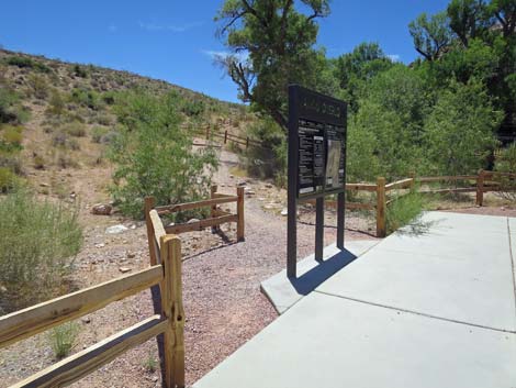 Arriving at Calico Overlook Trailhead sign (view SW) |
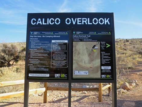 South (Calico Overlook) Trailhead sign (view S) |
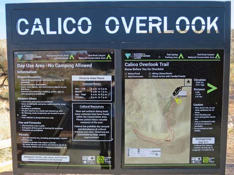 South (Calico Overlook) Trailhead sign (view S) |
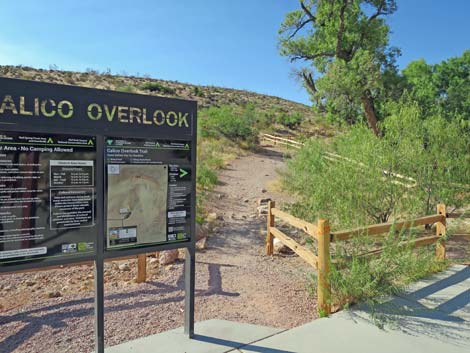 Calico Overlook Trailhead sign (view S) |
 Calico Overlook Trail departing picnic (view SW) |
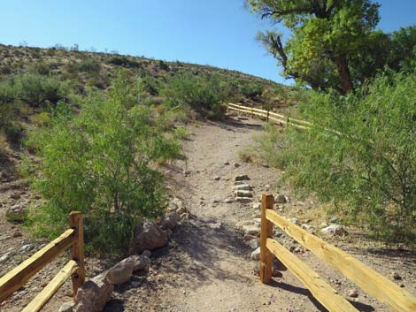
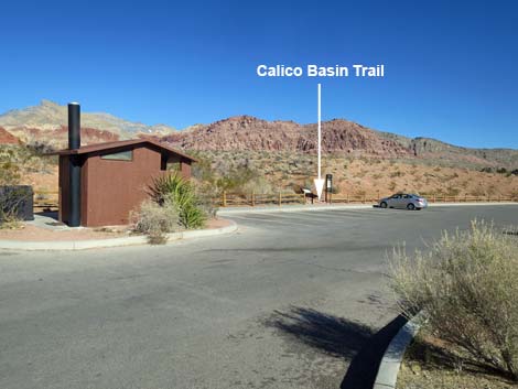
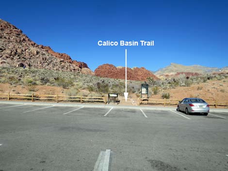
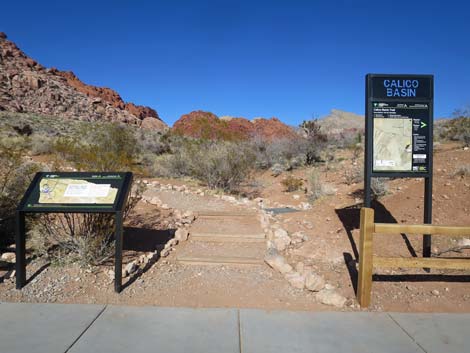
North Trailhead (Calico Basin Trail)
 North Trailhead (view N from Red Spring parking lot) |
 North Trailhead (view NW from Red Spring parking lot) |
 North Trailhead (view N from Red Spring parking lot) |
 North Trailhead (view NW from Red Spring parking lot) |
 North Trailhead sign (view NW) |
 North Trailhead information: You are here (view NW) |
 North Trailhead (view NW from Red Spring parking lot) |
More to come ... |
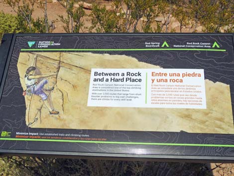 Trailhead sign: Between a Rock and a Hard Place |
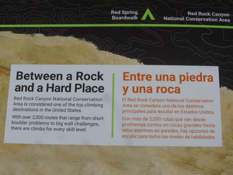 Trailhead sign: Between a Rock and a Hard Place |
West Trailhead (Calico Hills Trail)
 Boardwalk and West trailheads (view W) |
 West Trailhead (view W) |
 West Trailhead (view W) |
 West Trailhead (view W) |
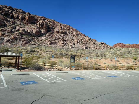
 West Trailhead information sign (view W) |
 West Trailhead information sign: You are here (view W) |
Table 1. Highway Coordinates (NAD27; UTM Zone 11S). Download Highway GPS Waypoints (*.gpx) file.
| Site # | Location | Latitude (N) | Longitude (W) | UTM Easting | UTM Northing | Elevation (feet) | Verified |
|---|---|---|---|---|---|---|---|
| 0464 | Red Spring Parking | 36.14683 | 115.41795 | 642331 | 4001192 | 3,670 | Yes |
| 0516 | Charleston at Hwy 215 | 36.15910 | 115.33661 | 649626 | 4002676 | 3,070 | Yes |
| 0520 | Charleston at Calico Basin Rd | 36.14184 | 115.39871 | 644071 | 4000667 | 3,506 | Yes |
Happy Hiking! All distances, elevations, and other facts are approximate.
![]() ; Last updated 240330
; Last updated 240330
| Hiking Around Red Rocks | Hiking Around Las Vegas | Glossary | Copyright, Conditions, Disclaimer | Home |