Hiking Around Las Vegas, Red Rock Canyon National Conservation Area
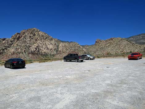
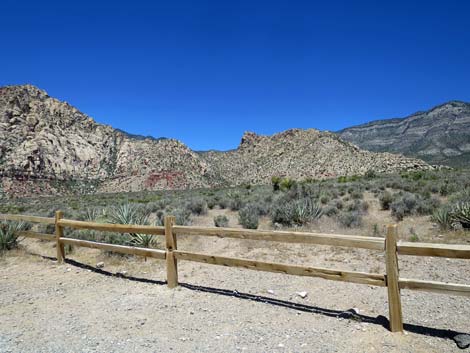
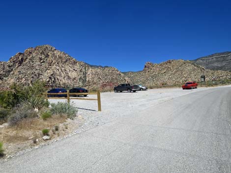 Lower White Rock trailhead parking (view NW) |
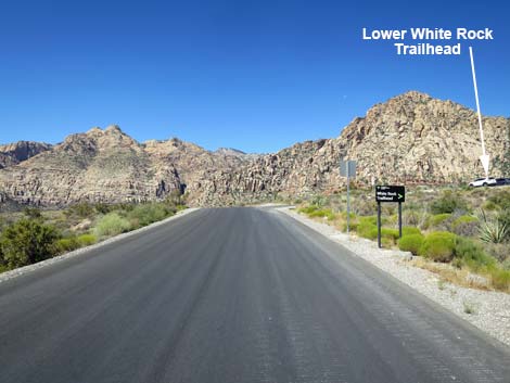
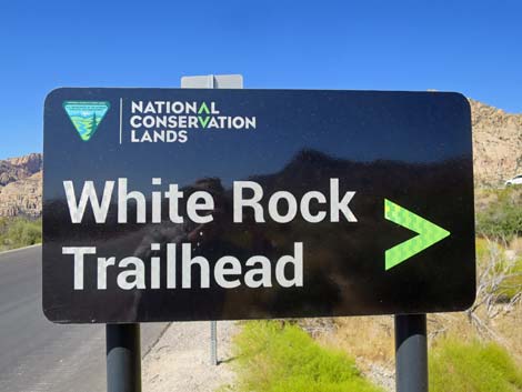
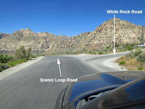
Lower White Rock Trailhead is located along the Scenic Loop Road in Red Rock Canyon National Conservation Area, about 1 hour west of Las Vegas. From town, drive out to Red Rocks. From West Charleston Blvd at the Scenic Loop Road (Table 1, Site 0519), turn right and drive north for 0.2 miles to the entrance station (Site 0855). Pay the fee, then drive around the one-way Scenic Loop Road for almost 6 miles to White Rock Road (Site 0525). Turn right onto White Rock Road and drive north for 20 yards to the dirt parking lot on the left. Park here; this is the trailhead. Link to trailhead map. |
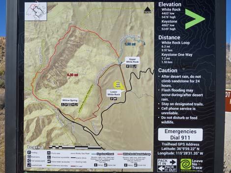
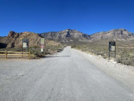 Lower White Rock Trailhead signs (view N) |
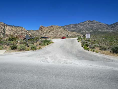
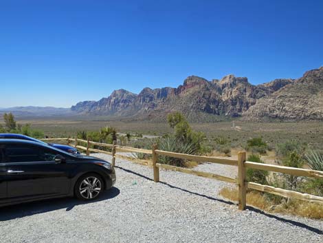
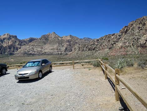
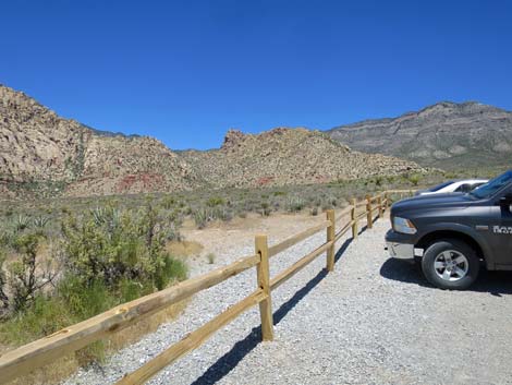
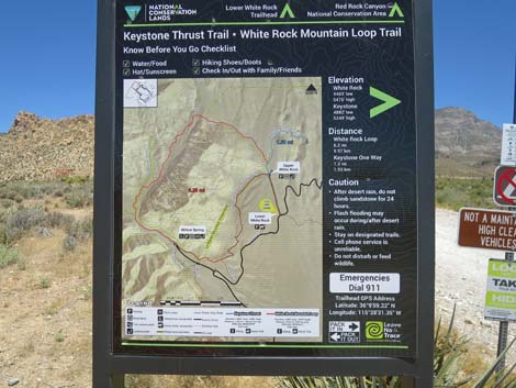
White Rock Road is paved for the first 100 feet or so, but the rest is unpaved and a bit rough, so some people park here at the lower parking lot and walk up the road to Upper White Rock Trailhead, and then head into wild places from there. Lower White Rock Trailhead provides access to hikes in the White Rock Hills area, including access to a desert spring, the Keystone Thrust, a number of off-trail hikes, and several miles of moderate to difficult hiking. Trails: White Rock Loop Trail, White Rock Spring Trail, Keystone Thrust Trail, Grand Circle Trail, La Madre Mountain, Hogback Ridge Summit. |
 Scenic Loop Road approaching White Rock Road (view SW) Scenic Loop Road approaching White Rock Road (view SW) |
 Scenic Loop Road at White Rock trailhead sign (view SW) |
 Scenic Loop Road at White Rock Road (view SW) |
 White Rock Road (view N from Scenic Loop Road) |
 White Rock Road (view NW from near Scenic Loop Road) |
 White Rock Road at Lower White Rock Trailhead parking (view NW) |
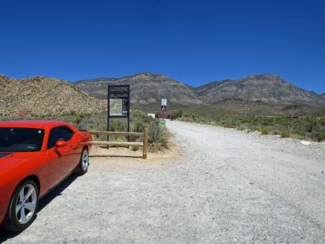
 Lower White Rock Trailhead (view W) |
 Lower White Rock Trailhead signs (view NW) |
 |
 |
 |
 |
 White Rock Mountain, Keystone Thrust Trailhead sign (view N) |
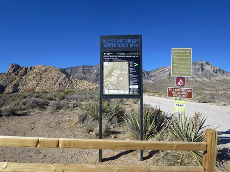 White Rock Mountain, Keystone Thrust Trailhead sign (view N) |
 White Rock Mountain, Keystone Thrust Trailhead sign (view N) |
 White Rock Mountain, Keystone Thrust Trailhead sign (view N) |
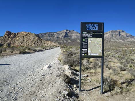 Grand Circle Trailhead sign (view SW) |
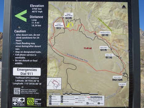 Grand Circle Trailhead sign (close-up, view SW) |
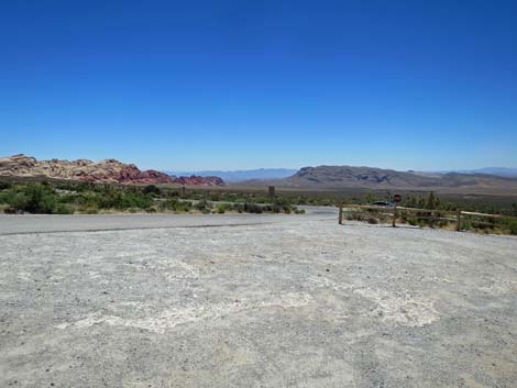 Departing the trailhead parking towards Scenic Loop Road (view SE) |
 More to come ... |
Table 1. Highway Coordinates (NAD27; UTM Zone 11S). Download Highway GPS Waypoints (*.gpx) file.
| Site | Location | UTM Easting | UTM Northing | Latitude (N) | Longitude (W) | Elevation (ft) |
|---|---|---|---|---|---|---|
| 0519 | Hwy 159 at Scenic Loop Rd Enter | 642118 | 3999510 | 36.13170 | 115.42062 | 3,681 |
| 0525 | Scenic Loop Rd at White Rock Rd | 637238 | 4003239 | 36.16600 | 115.47418 | 4,642 |
| 0855 | Scenic Loop Entrance Station | 641916 | 3999596 | 36.13250 | 115.42284 | 3,682 |
| 1914 | Lower White Rock Trailhead | 637200 | 4003274 | 36.16633 | 115.47460 | 4,652 |
Happy Hiking! All distances, elevations, and other facts are approximate.
![]() ; Last updated 240330
; Last updated 240330
| Hiking Around Red Rocks | Hiking Around Las Vegas | Glossary | Copyright, Conditions, Disclaimer | Home |