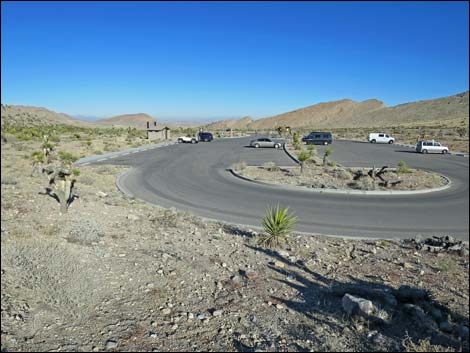
Hiking Around Las Vegas, Red Rock Canyon National Conservation Area
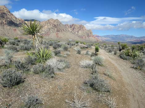
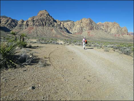
 Late Night Trailhead (view W) |
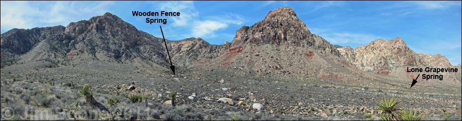
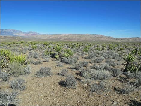
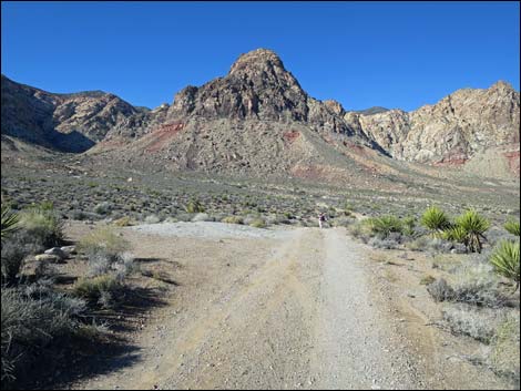
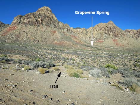
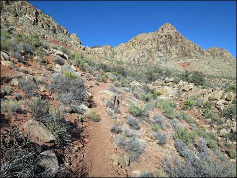
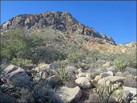
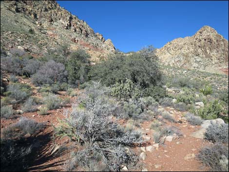
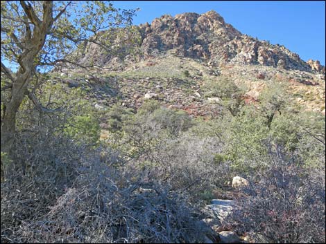
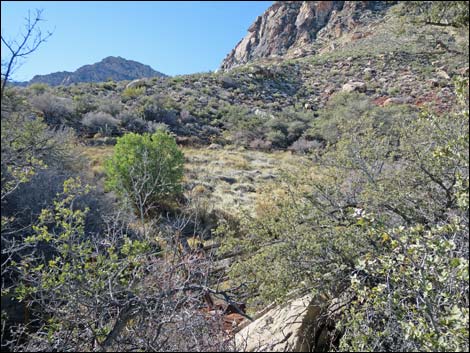
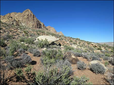
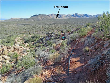
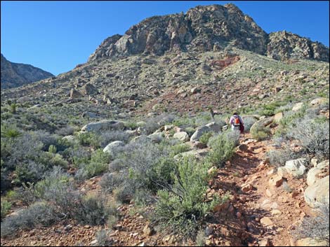
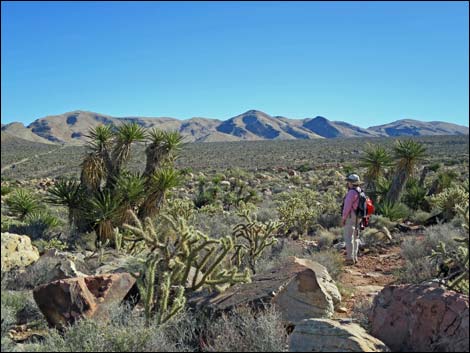
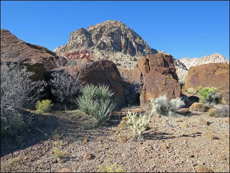
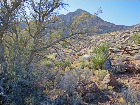
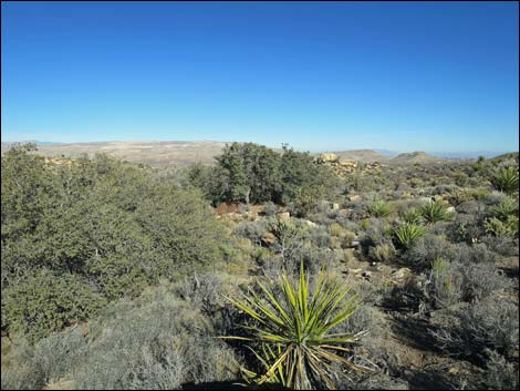
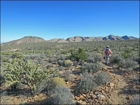
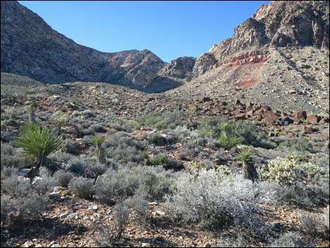
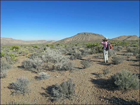
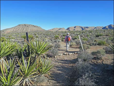
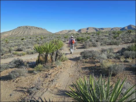
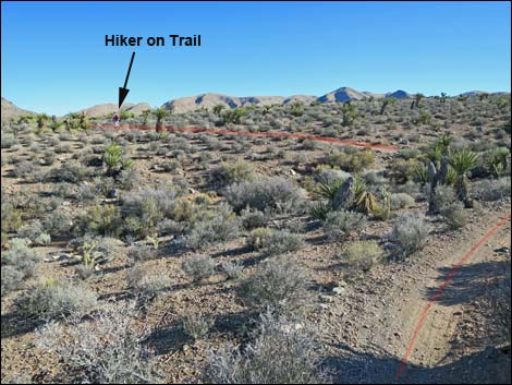
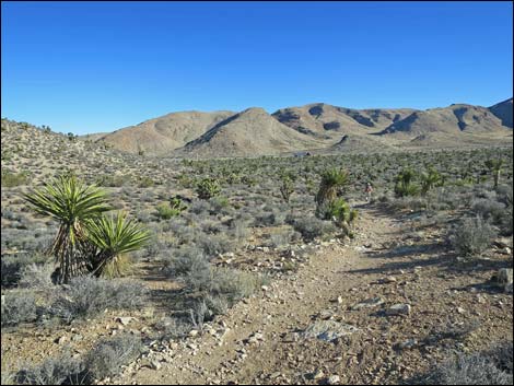
Overview The Two Springs Loop Trail is a fairly easy hike that runs 4.6 miles across desert flats to two springs with birds, oak trees, and petroglyphs at the base of the Red Rock Escarpment. Starting at the paved Late Night Trailhead, this hike makes use of the myriad bike trails, dirt roads, and use-trails that crisscross Cottonwood Valley to make a lollipop-type loop. As such, hikers can follow the route presented here or use other roads and trails to customize the hike. Hikers can also drive closer to the springs and use the Lone Grapevine Trailhead or the Wooden Fence Spring Trailhead. The hike runs through diverse vegetation typical of the Mojave Desert Scrub habitat type, and the sandstone cliffs, which are in the Rainbow Mountain Wilderness Area, loom higher and higher, eventually dominating the landscape as hikers draw near the springs. Link to map. |
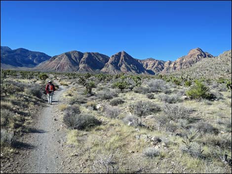
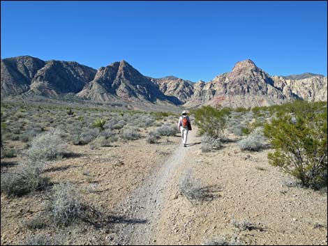
 Departing the trailhead (view SW) |
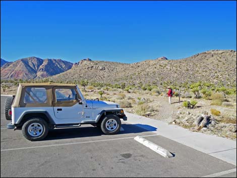
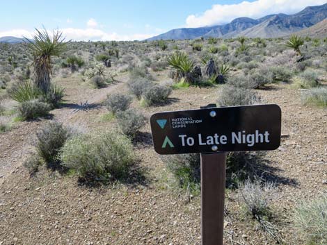
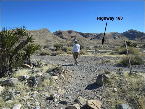
Watch Out Other than the standard warnings about hiking in the desert, ...this hike is fairly safe with no unusual hazards, but watch for mountain bikers careening along the trails. While hiking, please respect the land and the other people out there, and try to Leave No Trace of your passage. Also, even though this hike is fairly short, be sure to bring what you need of the 10 Essentials. Getting to the Trailhead This hike is located in Red Rock Canyon NCA, but not in the Scenic Loop Road fee area. From the Red Rock Visitor Center area, drive west then south on West Charleston Blvd (Hwy 159) past Blue Diamond Town to Highway 160. Turn right onto Highway 160 and drive west for 4.7 miles to the paved Late Night Trailhead on the right. |
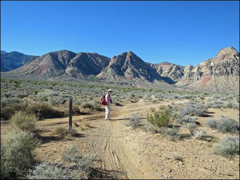
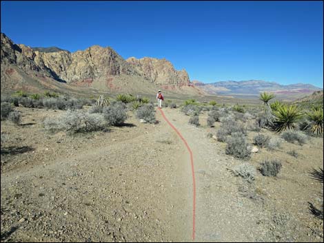
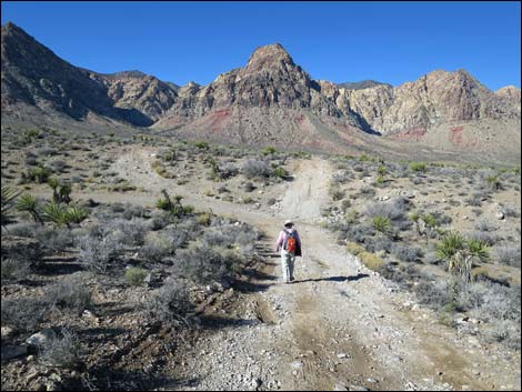
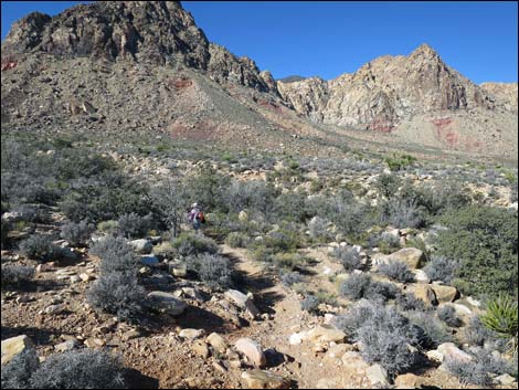
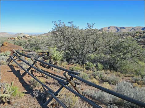
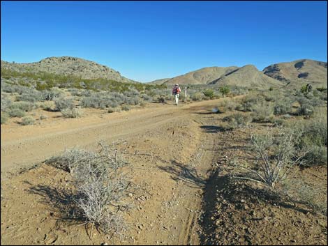
 Trail parallels access road (view S) Trail parallels access road (view S) |
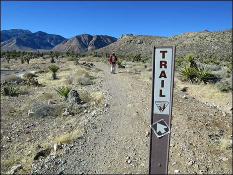
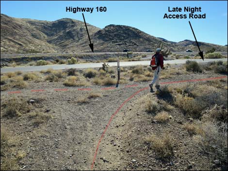
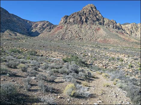
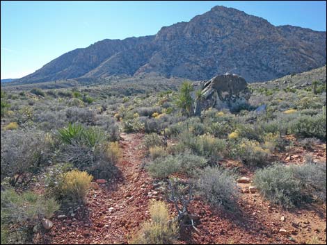
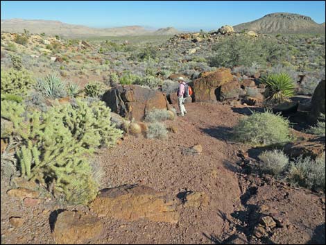
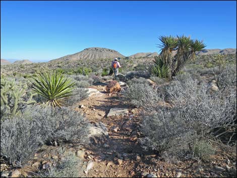
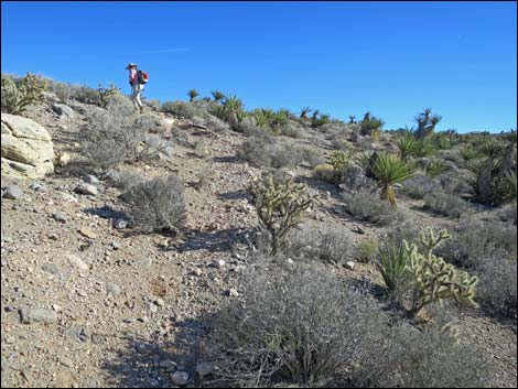
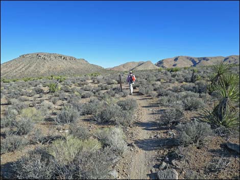
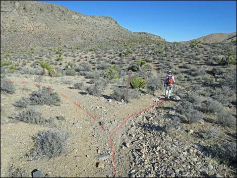
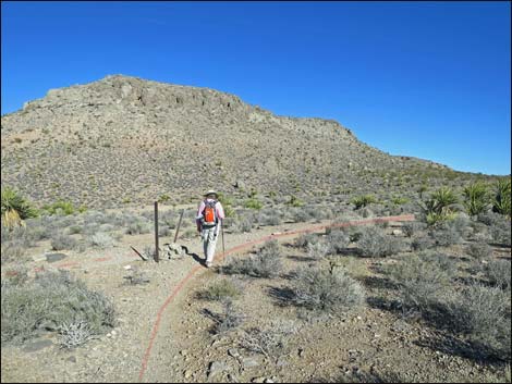
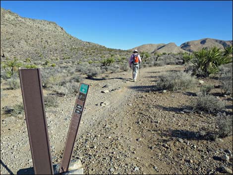
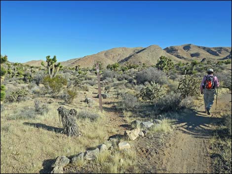
The Hike From the trailhead (Table 1, Waypoint 01), this hike leaves out of the northwest side of the paved parking lot, adjacent to the restrooms. Running around the end of the parking lot, the trail curves left until approaching the access road. Bending right, the trail parallels the access road until is ends, then parallels Highway 160 heading southwest towards the mountains. After running at gentle grades for about 0.47 miles, the trail reaches a trail intersection (Wpt. 02) and turns right to head northwest. Hikers who miss the turn will, in about 30 yards, encounter Wildhorse Road. Hikers can return to the trail junction or just walk out the dirt road. Staying on the trail, the trail runs northwest, climbs a short hillside, flattens out, and crosses a little-used dirt road (Wpt. 03). Now running west, the trail quickly crosses Wildhorse Road (Wpt. 04). Note that although the road looks nice here, this point is just beyond a bit of 4WD road. |
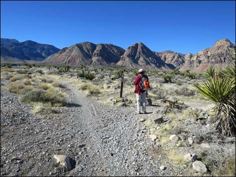
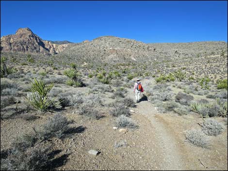
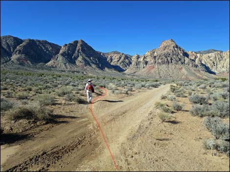
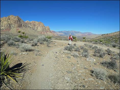
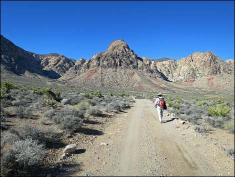
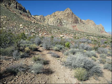
 Trail parallels Highway 160 (view SW) |
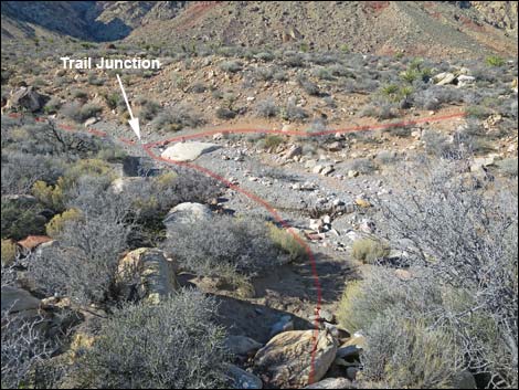
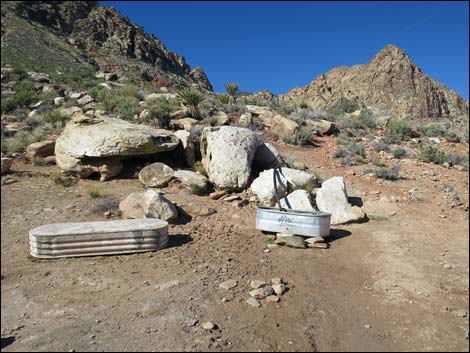
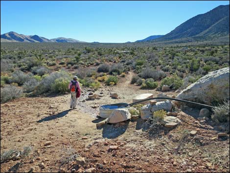
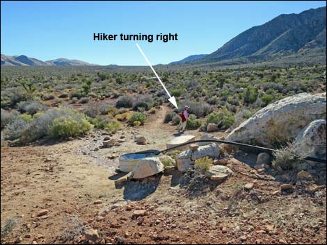
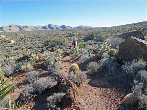
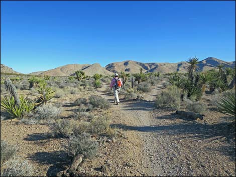
Continuing, the trail merges with another trail (Wpt. 05), and bends to the right. Shortly, the trail forks (Wpt. 06) and hikers stay right (straight). Note that this is the point where the return-trail comes back to close the loop. Continuing northwest, the trail merges with Wildhorse Road (Wpt. 07). Angling left, the trail now follows Wildhorse Road northwest for 0.5 miles. While hiking along the road, Lone Grapevine Spring can be seen on the hillside slightly right of straight down the road. The dirt road winds across two canyons and arrives at the Lone Grapevine Trailhead, where the dirt road turns left to run south. From the edge of the road (Wpt. 08), a use-trail drops over the hillside towards the wash below, then angles upstream to meet another trail at a T-intersection (Wpt. 09). Turning right, the trail runs across gently rolling terrain to a fork (Wpt. 10) where the trail stays left. Continuing across more gently rolling terrain, the trail reaches yet another fork (Wpt. 11) and stays left to quickly arrive at the watering troughs (Wpt. 12). |
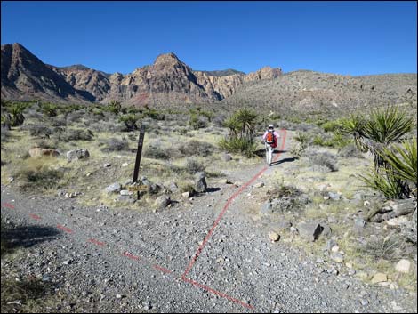
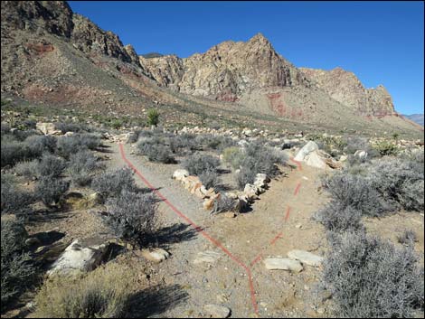
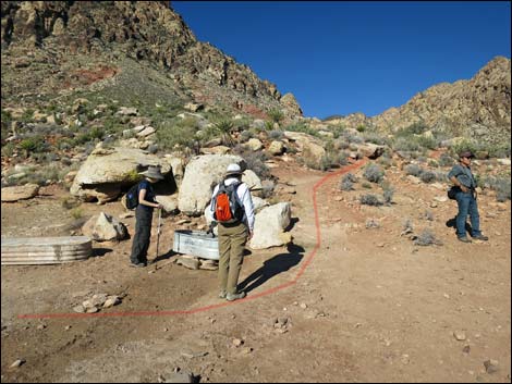
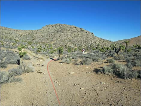
 Hiker at trail junction (view SW) |
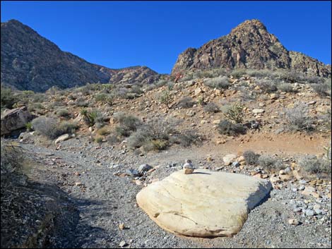
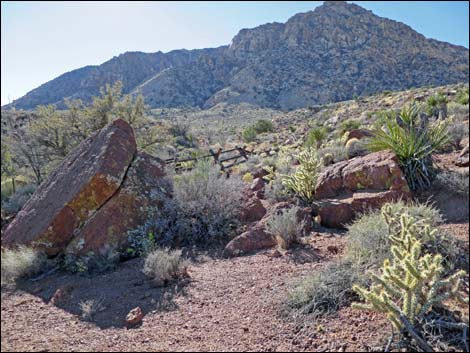
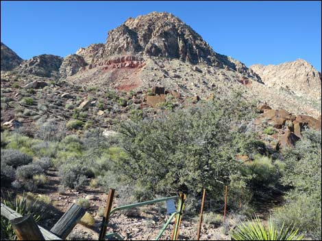
Beyond the troughs, the now steep trail switchbacks up the hillside, then bends right to cut up and across the hillside to reach Lone Grapevine Spring (Wpt. 13). For details of this part of the hike and more photos of the area, see Lone Grapevine Spring Trail. After enjoying the sights and sounds at the spring, the hike returns to the watering troughs (Wpt. 12). Continuing south only another five yards to a faint trail junction, the hike turns right to runs up along the base of this hillside. The trail eventually climbs the gentle hillside heading more-or-less west, then curves left to run more southerly. The trail passes a trail junction (Wpt. 14) in an area of dark conglomerate rock. This is Shinarump Conglomerate, formed during an important stage in the geologic history of Red Rock Canyon. |
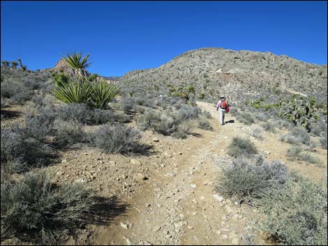
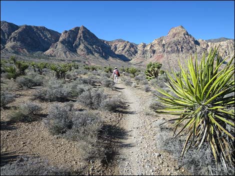
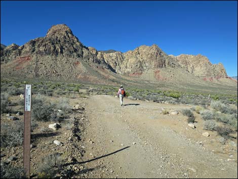
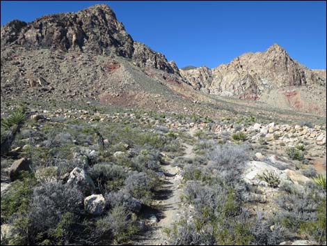
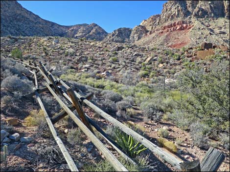
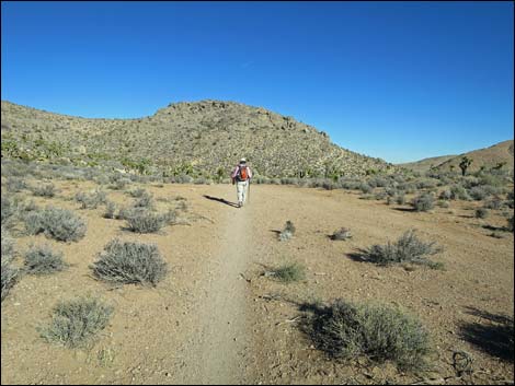
 Trail turns north away from the highway (view NW) |
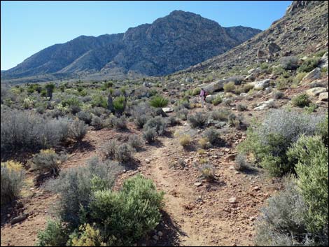
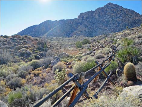
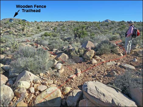
Continuing south among Shinarump Conglomerate boulders, the trail quickly arrives at Wooden Fence Spring (Wpt. 15). For details of this spring and more photos of the area, see Wooden Fence Spring Trail. As before, relax and enjoy the sights and sounds of the spring area. Departing Wooden Fence Spring, the trail initially runs northeast, but then quickly winds around and resumes a southerly direction. The trail eventually passes a trail junction (Wpt. 16; runs up to Wooden Fence Trailhead), crosses a major wash, and climbs out the other side to the desert flats above. |
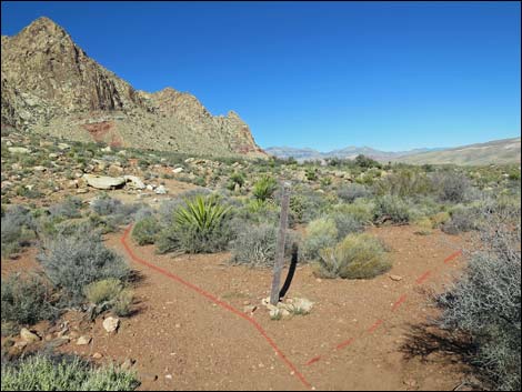
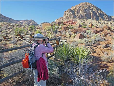
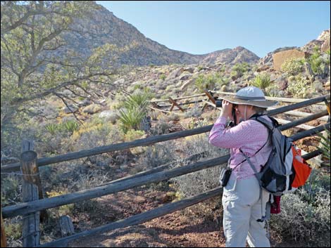
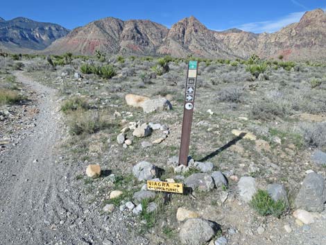 Some trail junctions have extra signs (view NW) |
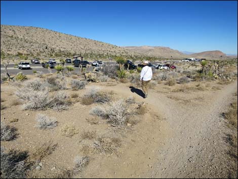
The trail then crosses a trail (Wpt. 17) and arrives at Wildhorse Road again (Wpt. 18). Note that although the road might look nice here, this point is between 4WD sections. Continuing southeast across Wildhorse Road, the trail crosses another old dirt road (Wpt. 19) and a couple of washes before reaching another fork (Wpt. 20). The trail stays right and runs out to yet another trail intersection (Wpt. 06), which closes the loop. Staying right, hikers follow their outbound footprints back to the trailhead. The trail stays left at the next fork (Wpt. 05), crosses the dirt road (Wpt. 04), crosses an old dirt road (Wpt. 03), descends a hillside, turns left at a trail junction (Wpt. 02) near Highway 160, and runs back northeast to the Late Night Trailhead (Wpt. 01). |
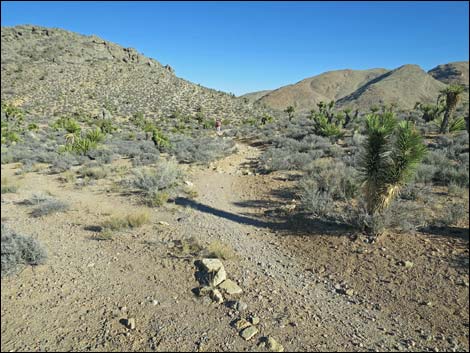
 Trail runs north (view NW) |
 Hiker on short uphill section (view NW) |
 Trail merges with an old road (view W) |
 Trail departs old road to the right (view W) |
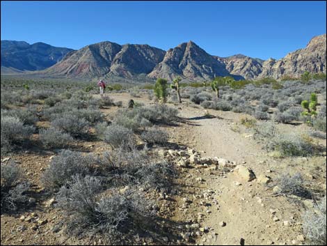
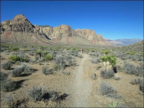
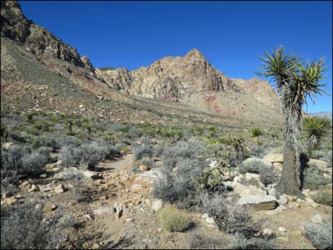
 Trail on desert flats (view W) |
 First encounter with Wildhorse Road (view NW) |
 First encounter with Wildhorse Road (view NW) |
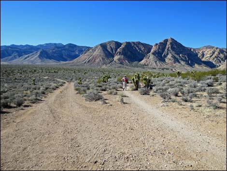
 Trail on desert flats (view W) |
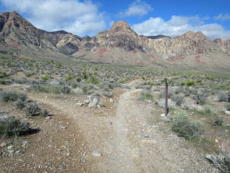
 Trail merges with another from the left (view NW) |
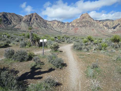
 Looking back at the trail sign (view SE) |
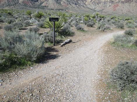 Another trail sign across the intersection (view NW) |
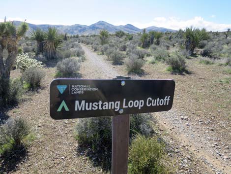
 Trail sign (view SW) |
 Trail on desert flats (view W) |
 Trail stays right at fork with trail sign (view NW) |
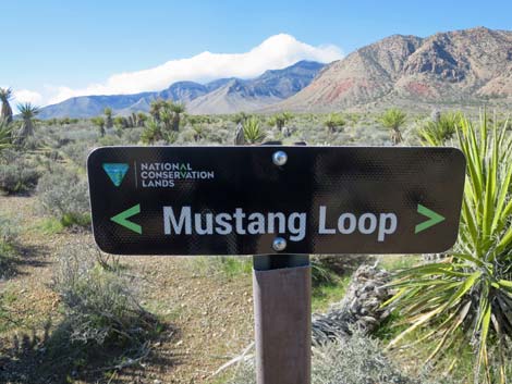
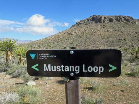 Trail sign (view NE) |
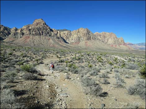 Trail on rolling desert flats (view W) |
 Approaching another trail junction with a sign (view NW) |
 Trail sign (view SW) |
 Hiker passing trail merging from the left (view NW) |
 Trail returns to Wildhorse Road (view NW) |
 Hiker on Wildhorse Road (view NW) |
 Hiker on dirt road (view NW) |
 Hiker on dirt road (view NW) |
 Wildhorse Road at Lone Grapevine Road (view NW) |
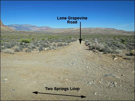 Lone Grapevine Road (view N from Wildhorse Road) |
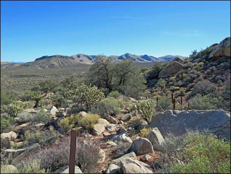
 Grand scenery to the northwest |
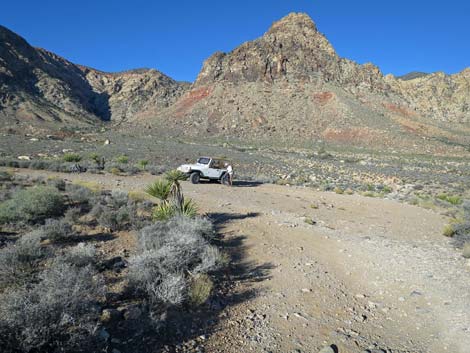
 Hiker on dirt road (view NW; 2WD vehicles stop here) |
 Lone Grapevine Trailhead (view NW) |
 Trail departs Lone Grapevine Trailhead (view NW) |
 Trail drops off hillside towards wash (view NW) |
 Trail drops into wash (view W) |
 Trail junction in wash; loop turns right (view W) |
 Loop trail runs north |
 Trail drops through wooded wash (view NW) |
 Trail stays left at fork (view NW) |
 |
 |
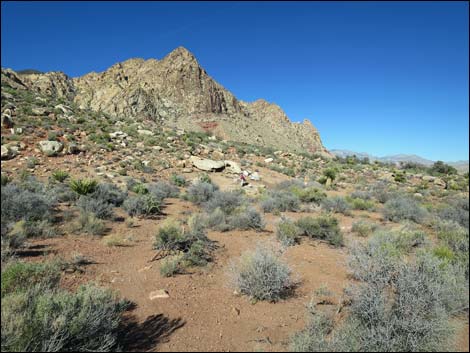
 Trail on desert flats at base of the mountains (view W) |
 Trail stays left at a fork (view N) |
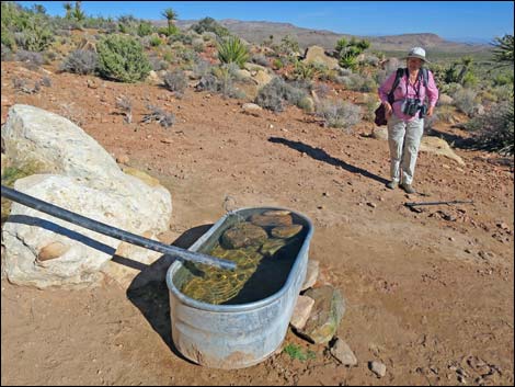
 Approaching the watering troughs (view N) |
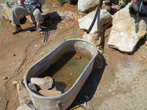
 Hiker at watering troughs (view N) |
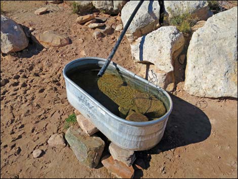
 Watering troughs (view NW) |
 Rocks in the trough save drowning birds and mammals |
 Trail climbs hillside above watering troughs (view NW) |
 Watering trough |
 Be sure to leave rocks in the trough so creatures can climb out |
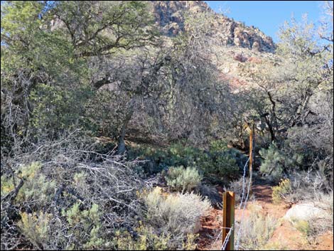
 Trail climbs hillside towards Lone Grapevine Spring (view NW) |
 Note the top of the rock |
 Approaching Lone Grapevine Spring (view NW) |
 Approaching Lone Grapevine Spring (view NW) |
 Lone Grapevine Spring |
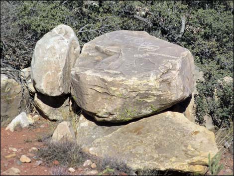
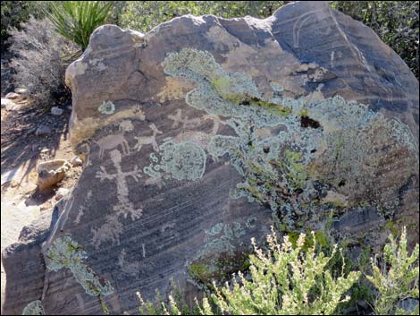
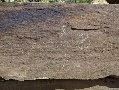
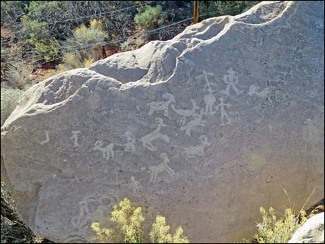 Artwork at Lone Grapevine Spring (view SW) |
 Petroglyphs and graffiti at Lone Grapevine Spring (view NE) |
 Lone Grapevine Spring (view SW) |
 |
 |
 Birdwatching at Lone Grapevine Spring (view SW) |
 Lone Grapevine Spring (view SE) |
 |
 |
 |
 |
 |
 |
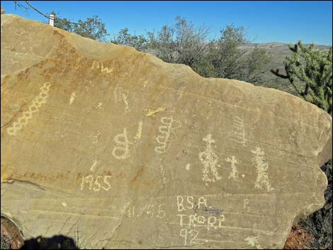
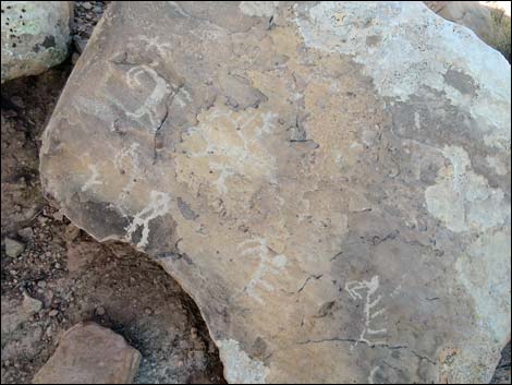
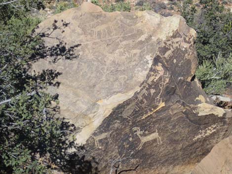
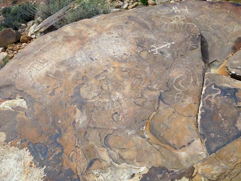 Petroglyphs |
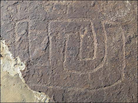
 Low quality cowboy graffiti |
 Real petroglyph or better-quality cowboy graffiti? |
 Departing Lone Grapevine Spring (view SE) |
 Hikers descending the hillside (view SE) |
 Returning to the watering trough (view S) |
 Loop trail turns right just below watering troughs (view S) |
 Trail runs along base of hillside (view SW) |
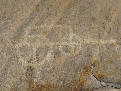
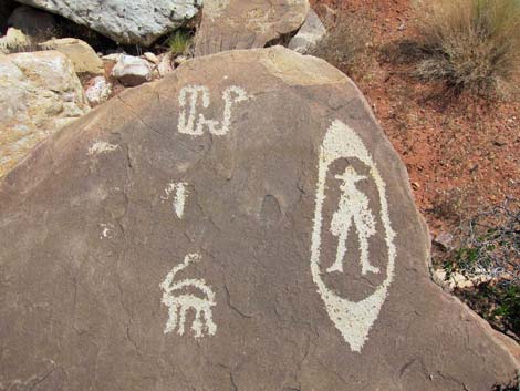 Modern images (cowboy graffiti) on the stones in this area |
 Trail runs along base of hillside (view W) |
 |
 |
 |
 |
 |
 |
 Trail stays left a junction (view SW) |
 Conglomerate boulders beside the trail (view NW) |
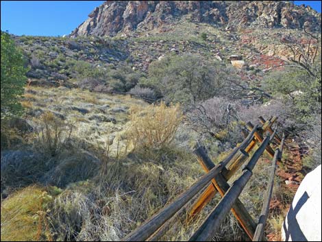
 Approaching Wooden Fence Spring (view SW) |
 Arriving at Wooden Fence Spring (view SW) |
 Boulder with wood impressions |
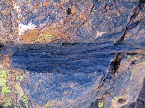 Boulder with wood impressions |
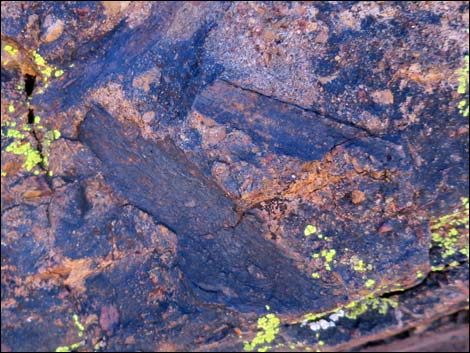 Boulder with wood impressions |
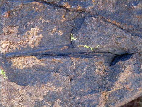 Boulder with wood impressions |
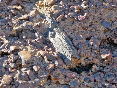 Old wood in the stone |
 Wooden Fence Spring |
 Birdwatching at Wooden Fence Spring (view NW) |
 Birdwatching at Wooden Fence Spring (view W) |
 |
 |
 |
 |
 Northeast corner of fenced area (view NE) |
 Wooden Fence Spring (view E) |
 Hiker departing Wooden Fence Spring (view E) |
 Always notice the little things |
 Trail on desert flats (view E) |
 Looking back towards Wooden Fence Spring (view W) |
 Trail on desert flats (view E) |
 Hiker passing trail junction to Wooden Fence Trailhead (view SE) |
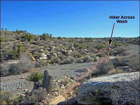 Trail cross wash obliquely (view S) |
 Steepest climb of the hike (view SE) |
 Hikers on desert flats (view SE) |
 Hikers crossing bike trail (view SE) |
 Hikers crossing dirt road (view SE) |
 Trail runs across rolling desert flats (view SE) |
 Trail runs across rolling desert flats (view SE) |
 Hiker crossing rolling terrain in Cottonwood Valley (view SE) |
 Hiker crossing rolling terrain in Cottonwood Valley (view SE) |
 Trail stays right at fork (view SE) |
 Trail stays right at another fork (view SE) |
 Closing the Loop: inbound trail merges with outbound trail (view SE) |
 Trail stays left at a fork (view SE) |
 Recrossing the dirt road (view SE) |
 Trail merges with old road (view SE) |
 Trail departs old road (view SE) |
 Trail starts down fairly steep hillside (view SE) |
 Trail runs back down fairly steep hillside (view SE) |
 Flat area below the hillside (view SE) |
 Trail intersection near Highway 160 (view SE) |
 Returning to the trailhead (view NE) |
 Returning to the trailhead (view NE) |
Table 1. Hiking Coordinates and Distances based on GPS Data (NAD27; UTM Zone 11S). Download Hiking GPS Waypoints (*.gpx) file.
| Wpt. | Location | UTM Easting | UTM Northing | Elevation (ft) | Point-to-Point Distance (mi) | Cumulative Distance (mi) | Verified |
|---|---|---|---|---|---|---|---|
| 01 | Trailhead | 641403 | 3986105 | 3,930 | 0.00 | 0.00 | GPS |
| 02 | Trail Junction | 640911 | 3985766 | 4,085 | 0.47 | 0.47 | GPS |
| 03 | Cross Minor Dirt Road | 640630 | 3985976 | 4,102 | 0.24 | 0.71 | GPS |
| 04 | Cross Dirt Road | 640438 | 3985958 | 4,103 | 0.12 | 0.83 | GPS |
| 05 | Trail Junction | 640283 | 3985973 | 4,095 | 0.10 | 0.93 | GPS |
| 06 | Trail Junction | 640212 | 3986043 | 4,090 | 0.07 | 1.00 | GPS |
| 07 | Merge with Dirt Road | 640132 | 3986145 | 4,098 | 0.08 | 1.08 | GPS |
| 08 | Depart Dirt Road | 639476 | 3986558 | 4,026 | 0.51 | 1.59 | GPS |
| 09 | Trail Junction | 639392 | 3986565 | 4,000 | 0.06 | 1.65 | GPS |
| 10 | Fork in the Trail | 639349 | 3986687 | 4,029 | 0.10 | 1.75 | GPS |
| 11 | Trail Junction | 639151 | 3986871 | 4,046 | 0.19 | 1.94 | GPS |
| 12 | Watering Trough | 639137 | 3986912 | 4,041 | 0.02 | 1.96 | GPS |
| 13 | Lone Grapevine Spring | 639035 | 3986997 | 4,112 | 0.11 | 2.07 | GPS |
| 12 | Watering Trough | 639137 | 3986912 | 4,041 | 0.11 | 2.18 | GPS |
| 14 | Trail Junction | 639026 | 3986442 | 4,125 | 0.39 | 2.57 | GPS |
| 15 | Wooden Fence Spring | 639012 | 3986386 | 4,115 | 0.05 | 2.62 | GPS |
| 16 | Trail Junction | 639299 | 3986255 | 4,082 | 0.28 | 2.90 | GPS |
| 17 | Cross Trail | 639454 | 3986167 | 4,116 | 0.12 | 3.02 | GPS |
| 18 | Cross Dirt Road | 639476 | 3986162 | 4,115 | 0.01 | 3.03 | GPS |
| 19 | Cross Old Dirt Road | 639697 | 3986080 | 4,121 | 0.17 | 3.20 | GPS |
| 20 | Trail Junction | 640163 | 3986000 | 4,093 | 0.32 | 3.52 | GPS |
| 06 | Trail Junction | 640212 | 3986043 | 4,090 | 0.05 | 3.57 | GPS |
| 05 | Trail Junction | 640283 | 3985973 | 4,095 | 0.07 | 3.64 | GPS |
| 04 | Cross Dirt Road | 640438 | 3985958 | 4,103 | 0.10 | 3.74 | GPS |
| 03 | Cross Minor Dirt Road | 640630 | 3985976 | 4,102 | 0.12 | 3.86 | GPS |
| 02 | Trail Junction | 640911 | 3985766 | 4,085 | 0.24 | 4.10 | GPS |
| 01 | Trailhead | 641403 | 3986105 | 3,930 | 0.47 | 4.57 | GPS |
Happy Hiking! All distances, elevations, and other facts are approximate.
![]() ; Last updated 240330
; Last updated 240330
| Hiking Around Red Rocks | Hiking Around Las Vegas | Glossary | Copyright, Conditions, Disclaimer | Home |