Hiking Around Las Vegas, Red Rock Canyon National Conservation Area
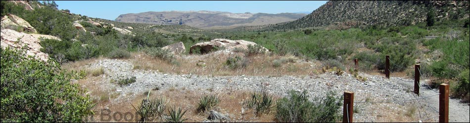
 Willow Springs Trailhead at Willow Spring (view NE) |
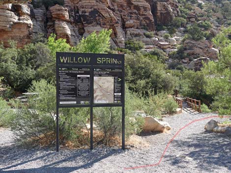
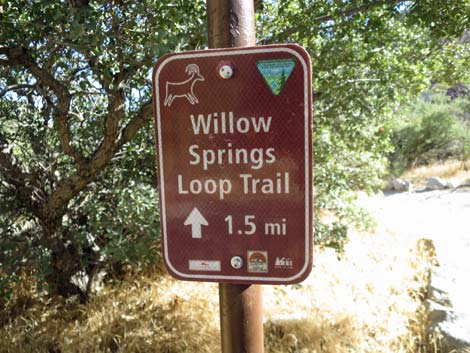
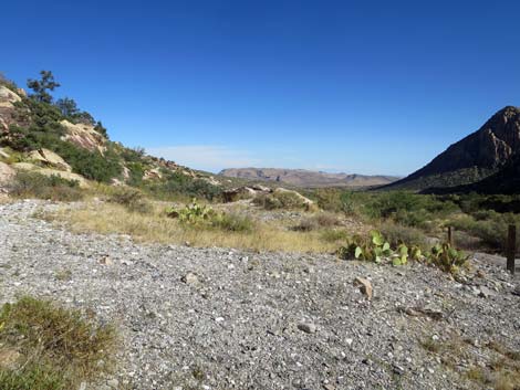
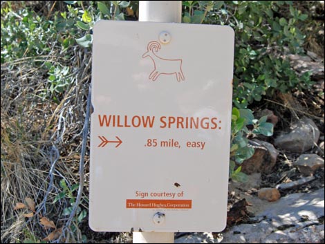
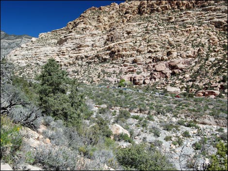
Overview The Willow Springs Loop Trail is a nice, 1.2-mile loop trail runs down one side of Red Rocks Wash and back up the other. The trail can be started from the Willow Springs or Lost Creek parking areas, which are at opposite ends of the loop. The scenery is great, the desert vegetation is relatively lush for the desert, there are two springs with riparian vegetation, there are interesting Native American sites along the way, and there is always the chance of seeing bighorn sheep up in the cliffs. This loop can be started at either end and walked in either direction. Here, the route is described as starting from Willow Springs and running down the east side of the canyon to Lost Creek Trailhead, then looping back up the west side of the canyon back to Willow Springs. For hiking in the opposite direction, see Willow Springs Loop Trail (counter-clockwise). Link to map or elevation profile. Link to BLM Georeference PDF map file. |
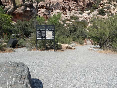
 Trail starts right of sign towards toilets (view E) |
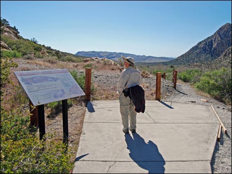
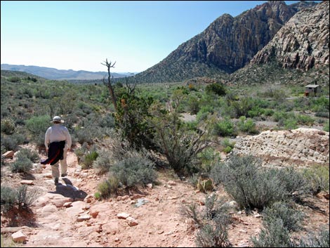
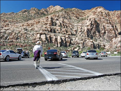
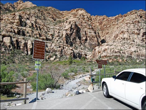
Watch Out Other than the standard warnings about hiking in the desert, ...this is a safe hike if you stay on the trail. Watch for cars when crossing the road. Please respect the Native American sites and don't deface them; they are part of the history of this land, and when they are gone, they are gone forever. While hiking, please respect the land and the other people out there, and try to Leave No Trace of your passage. Also, even though this hike is short, be sure to bring what you need of the 10 Essentials. Getting to the Trailhead This hike is located along the Scenic Loop Road in Red Rock Canyon National Conservation Area, about 45 minutes west of Las Vegas. Drive out to Red Rocks, pay the fee, and then drive about half-way around the Scenic Loop Road to Willow Springs Road. Turn right and drive north 0.2 miles to the Lost Creek Trailhead or 0.6 miles to the Willow Springs Trailhead. Park here; these are the trailheads. |
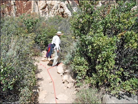
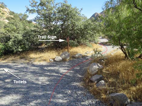 Trail forks; stay right away from toilets (view S) |
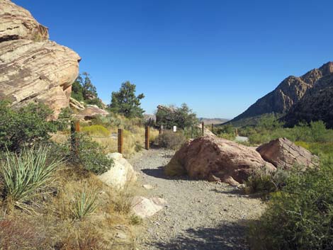
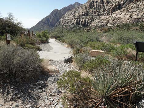
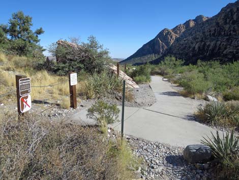
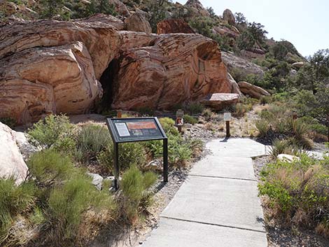
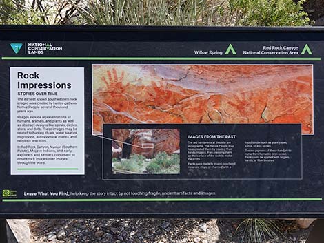
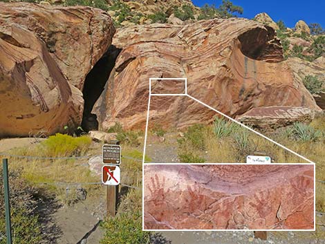
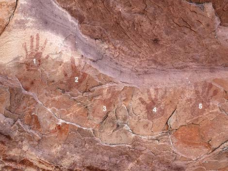
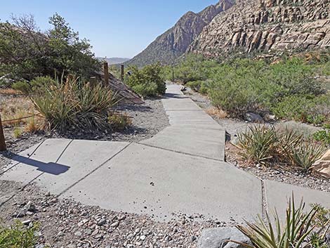
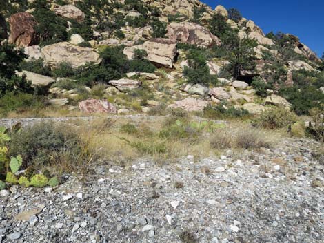
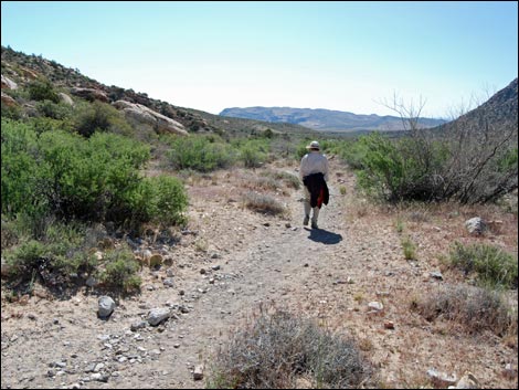
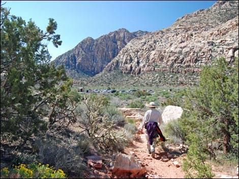
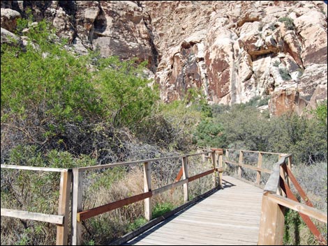
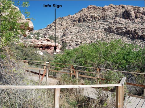
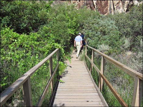
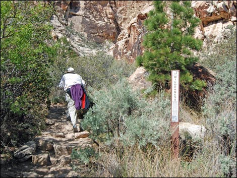
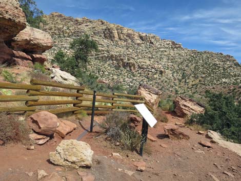
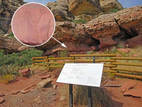
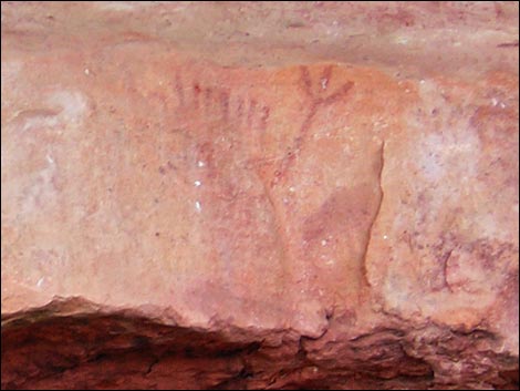
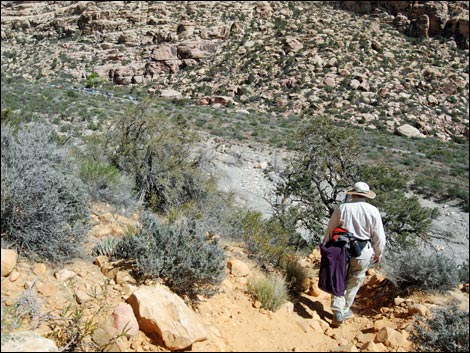
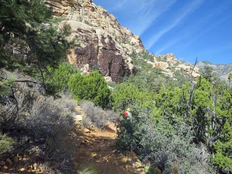
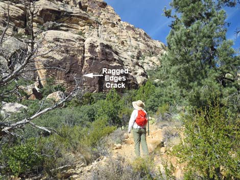
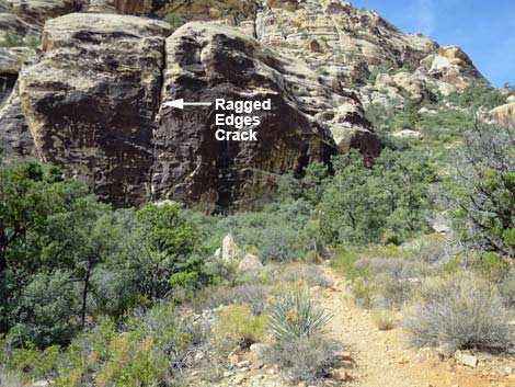
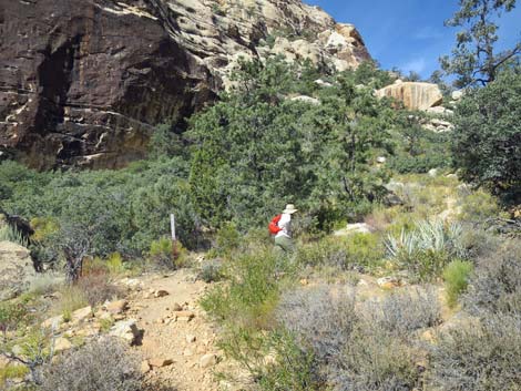
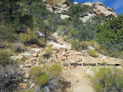
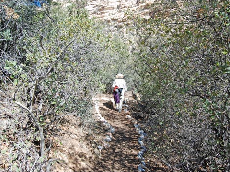
The Hike From the Willow Springs Trailhead (Table 1, Waypoint 01) at the end of the paved road, the trail starts east towards the bridge to the outhouse, but then bends right to run down the canyon. This part of the trail runs through the Willow Springs Picnic Area, so there are lots of trails in this area and hikers have choices. Hikers should stay to the left -- closer to the edge of the canyon, but not up the hillside. One way or another, hikers will encounter a concrete trail that runs across the canyon from the paved road to the base of the hillside. This is the Hand Prints Trail, and hikers should follow it east to some huge boulders with Native American hand paintings (Wpt. 02) (pictographs using red paint) and an agave-roasting pit (Wpt. 03). Signs provide information about the site. There is more rock art hanging on the walls of Red Rock Canyon, but you'll have to search for it. Note that the Petroglyph Wall Trail is pretty easy to find. |
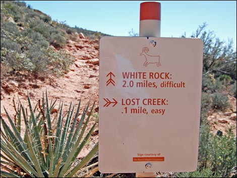
 Trail sign (view S) |
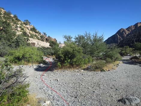
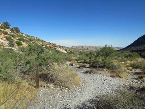
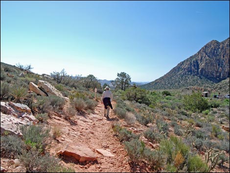
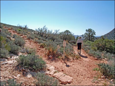
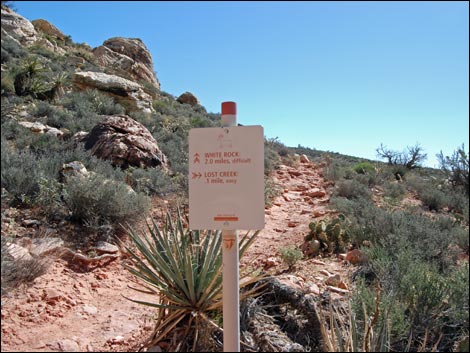
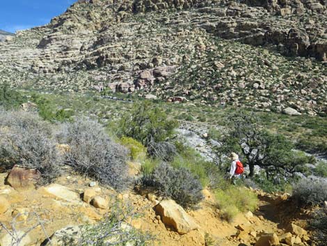
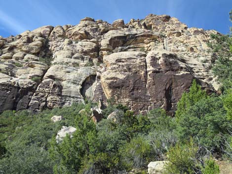
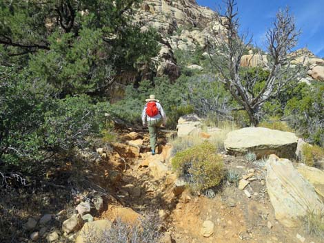
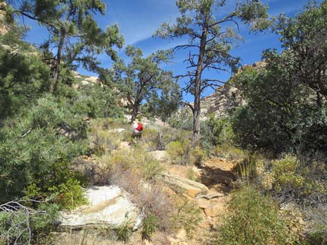
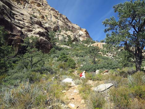
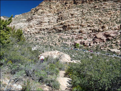
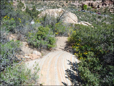
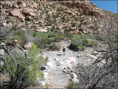
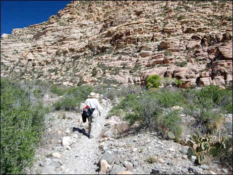
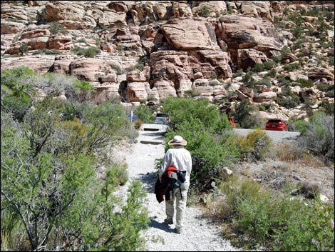
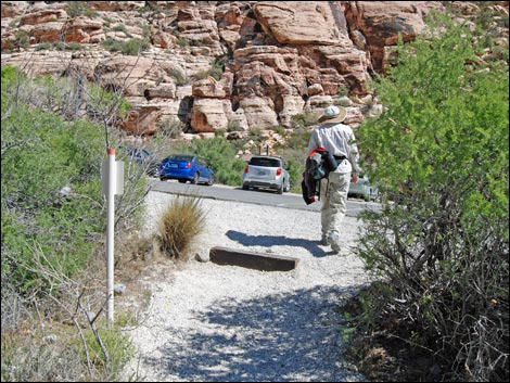
After spending a few minutes contemplating the lives of people who used this area for thousands of years, continue off the end of the concrete trail and down the dirt trail past the agave-roasting pit. Hiking south, Lost Creek parking area becomes visible in the distance (which is the next target and about 0.4 miles away). There are some interesting colors (reds, purples, whites) in the dirt and rocks along the trail, and the vegetation is fairly dense with lots of shrub live oak. During winter, this area is good for finding Bighorn Sheep. From the agave-roasting pit, the trail runs south for 0.30 miles to intersect the White Rock Loop trail (Wpt. 04). At the junction, the Willow Springs Loop stays to the right and runs down the hillside towards the paved road. The loop crosses the road at the crosswalk (watch for traffic), into the Lost Creek parking lot to the Lost Creek Trailhead (Wpt. 06). |
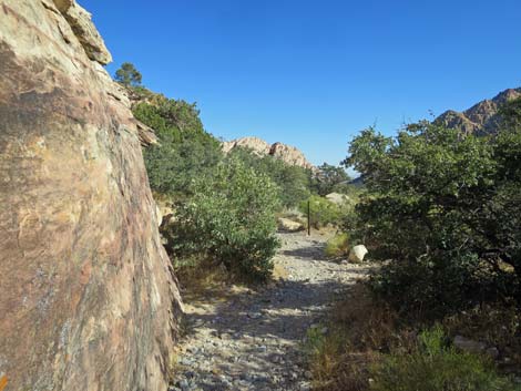
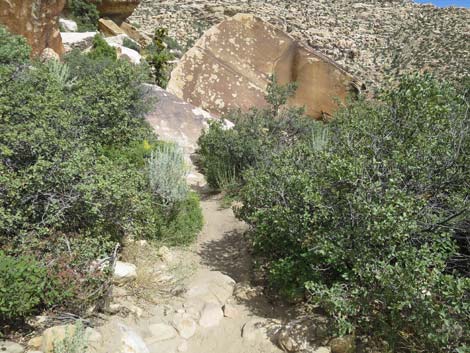
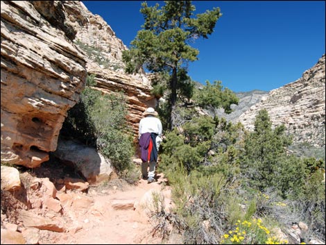
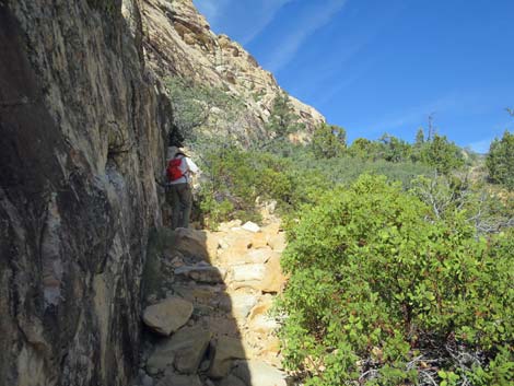
 Trail bends left towards the cliffs (view S) |
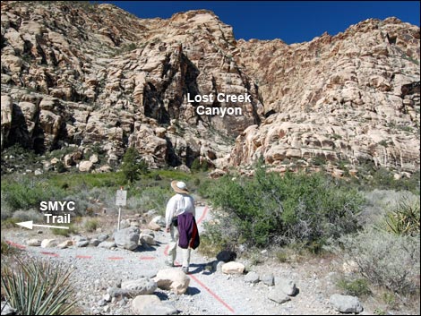
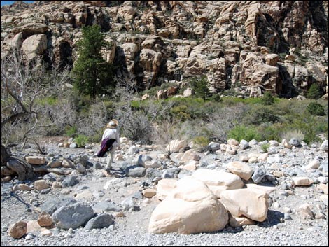
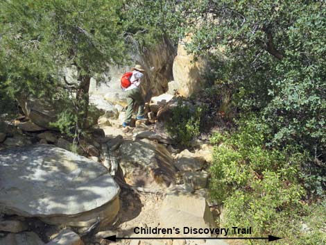
Two trails leave from the west side of the Lost Creek parking area. The Willow Springs Loop Trail (Wpt. 06) starts in the middle of the parking area and runs southwest on the well-defined Lost Creek Falls Trail, heading straight across Red Rock Wash towards a big willow thicket and the mouth of a little side-canyon. The little side-canyon is Lost Creek Canyon and the next target. The Childrens Discovery Trail also starts at the Lost Creek parking area, but it starts at the northwest corner of the parking lot and angles upstream across the wash. About 80 yards past the parking area, the Willow Springs Loop Trail passes the junction with the SMYC Trail (Wpt. 08) and continues southwest (straight) towards Red Rock Wash (Wpt. 09). In wet years, water flows in the wash, which is always nice to see in the desert. Even in dry years, however, there is enough water down in the gravel to support thickets of shrub live oak, desert willow, California redbud, and other small trees that grow in the wash. |
 |
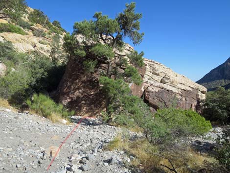
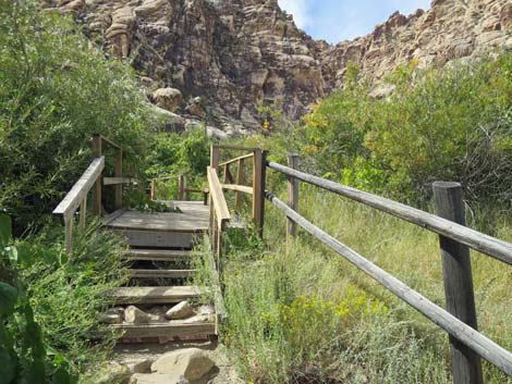
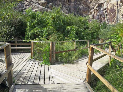
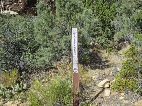
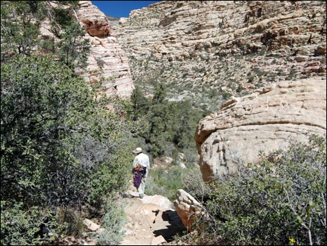
The trail crosses the wash, climbs stone stairs, and wanders up the rocky hillside into the willow thicket. There is a boardwalk (Wpt. 10) through the wet thicket, which is nice because people used to trample the whole place; it is nice to see the vegetation growing back. This is a nice place to stop, sit, relax in the shade of the willows, and listen to the sounds of water and birds. Continuing off the end of the boardwalk (Wpt. 11), the trail runs straight towards Lost Creek Canyon. About 20 yards past the end of the boardwalk, just before entering the canyon, the Willow Springs Loop Trail turns right at an unmarked T-intersection (Wpt. 12) and runs north, now turning back up the canyon. |
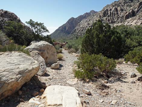
 Trail runs out to pine tree (view S) |
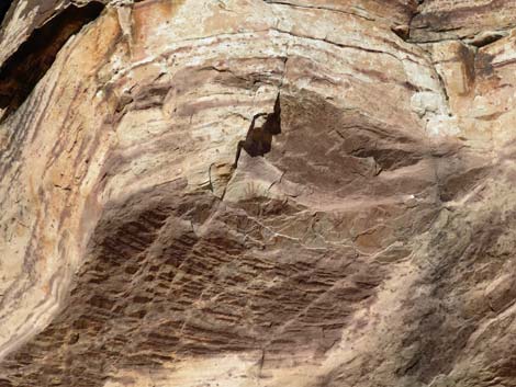
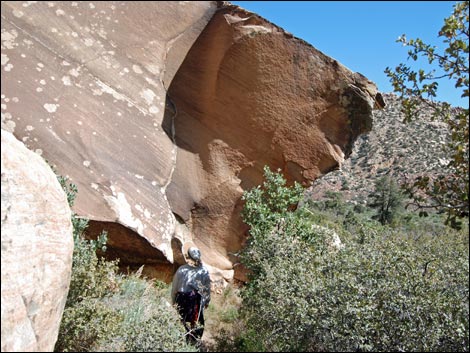
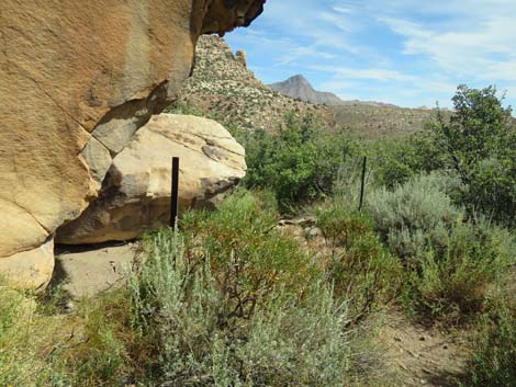
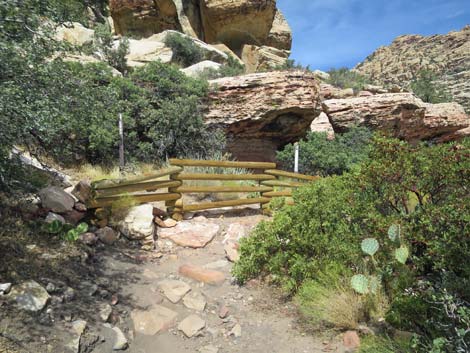
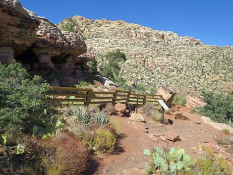
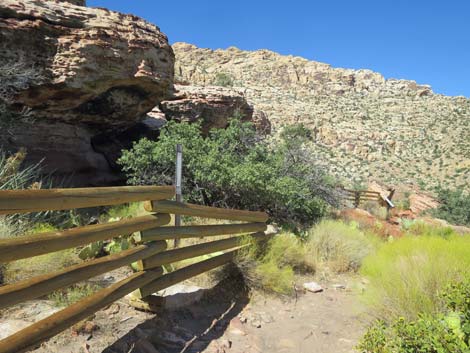
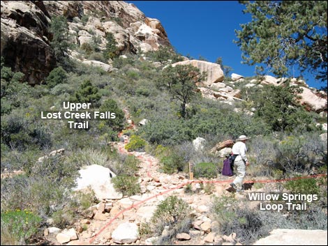
Before making the turn and starting back towards Willow Springs, consider walking up to Lower Lost Creek Falls. The trail to the falls continues straight into the canyon from the T-intersection. The canyon narrows, and after a minute or two, the trail crosses Lost Creek beneath an enormous ponderosa pine. A park bench invites hikers to sit, relax, and listen to the sounds of the canyon. Past the bench, the trail climbs around and under boulders and quickly arrives at the waterfall and the end of this trail. For details of this trail, see the description of the Lower Lost Creek Falls Trail. When ready, return to the unmarked T-intersection (Wpt. 12) near the boardwalk. From the T-intersection, the trail runs north. About 20 yards out, the trail winds around and under a huge boulder, then quickly arrives at another Native American rock art site (Wpt. 15) behind a pole fence. The overhang at the top of the low rock wall protects the faint red marks painted (pictographs) on the rocks. |
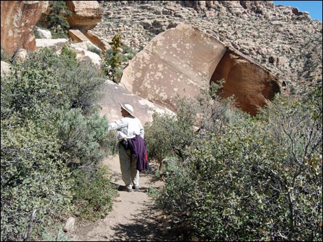
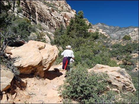
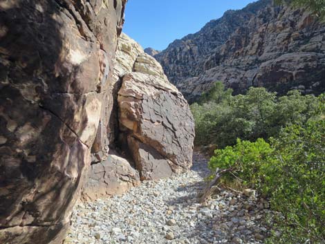 Trail follows base of huge boulders (view S) |
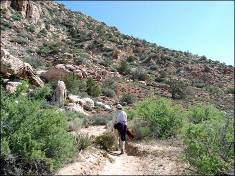
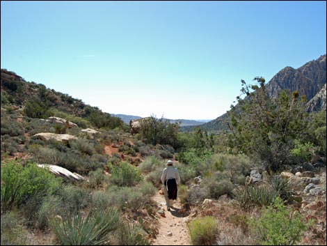
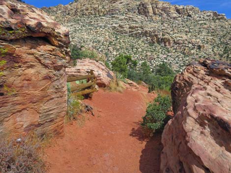
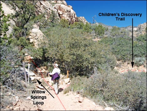
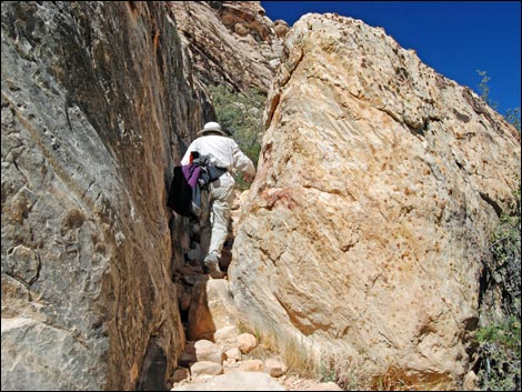
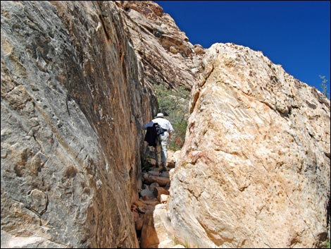
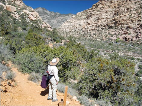
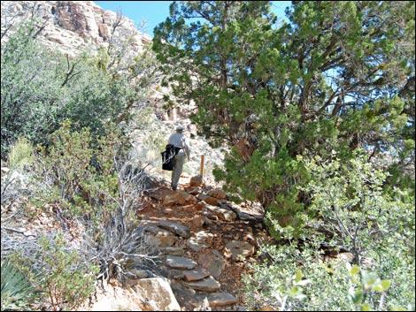
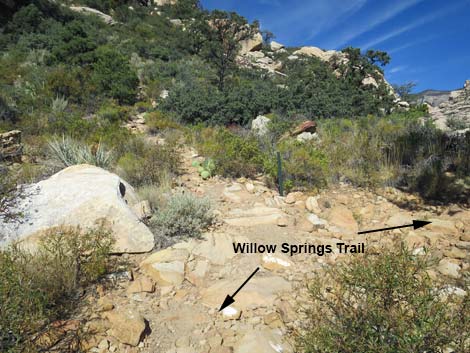
From the rock art site, the trail continues north, winding among rocks and trees under a band of red cliffs, for 0.09 miles to a 3-way trail intersection (Wpt. 16). The trail to the northeast (right) is the Childrens Discovery Trail that leads back to the Lost Creek parking area. The Willow Springs Loop turns northwest (left) and climbs up the hill through a slot between two huge boulders. The Willow Springs Loop Trail runs up onto a rocky bench above the wash with some nice viewpoints overlooking the Lost Creek parking area and the trails in the area. From there, the trail runs north, winding along the hillside and among pinyon pine trees that add variety to the vegetation in this area. Along the way, there are more nice viewpoints looking up the canyon towards the Willow Springs picnic area. The trail winds along the bench to a highpoint (Wpt. 19), then starts a fairly steep descent behind some boulders into a scrub-oak thicket and back into Red Rock Wash (Wpt. 20). From the wash crossing, the trail runs northeast for 0.08 miles back to Willow Springs Road (Wpt. 21) and to the Willow Springs Trailhead (Wpt. 01), completing the loop. |
 Passing the huge boulders (view S) |
 Passing the smaller boulders (view S) |
 Approaching the ADA Painted Hands Trail (view S) |
 Approaching the concrete trail (view S) |
 Approaching ADA Handprints Trail (view S) |
 Handprints pictograph site (view NE) |
 Information sign (view E) |
 Information sign: Rock Impressions, stories over time |
 Handprints pictograph site; they can be hard to see (view NE) |
 Handprints pictograph site (view NE) |
 Five ancient handprints (view NE) |
 The trail continues on a short bit of concrete (view S) |
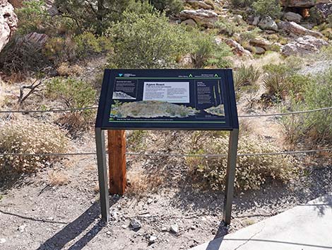 Another information sign (view SE) |
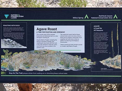 Information sign: Agave Roast, a time for feasting and ceremony |
 Hiker at the old information sigh (view SE) |
Sign: More than an Oven (view E) |
 Agave roasting pit (view SE) |
 Agave roasting pit (view SE) |
 Agave roasting pit (view E) |
 Ash and burnt rocks from ancient cooking fires (view down) |
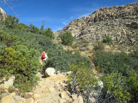
 Trails continues down canyon past the agave roasting pit (view SE) |
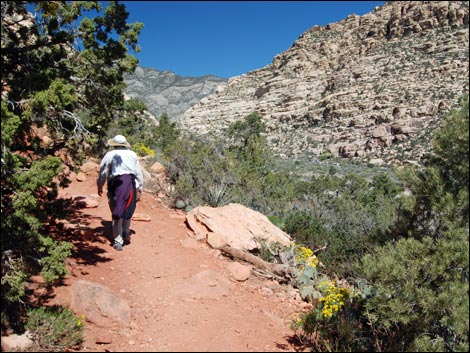
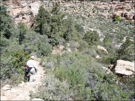
 Hiker continuing down the trail (view SE) |
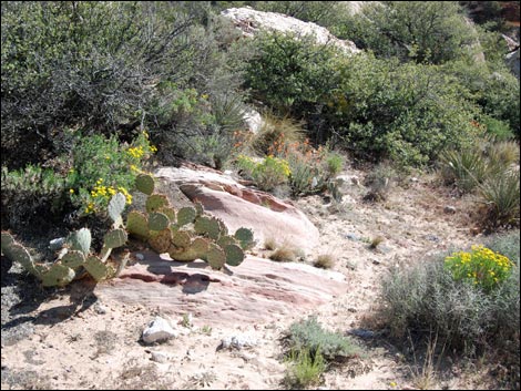 Flowers and pricklypear cactus |
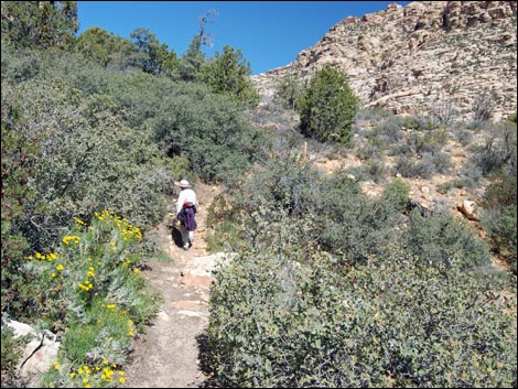
 Hiker continuing down the trail (view SE) |
 Hiker on trail (view SE) |
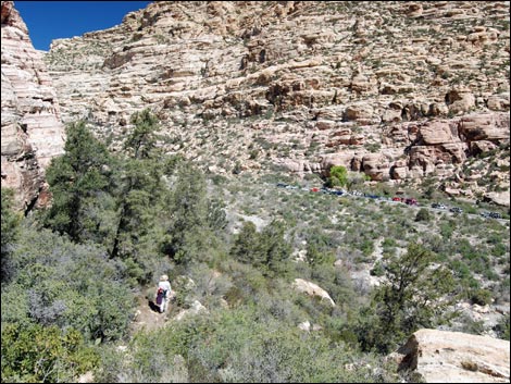
 Lost Creek Trailhead comes into view (view S) |
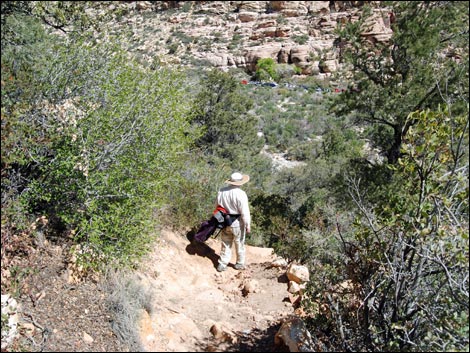
 Hiker approaching trail junction (view SE) |
 Hiker passing White Rock Loop trail junction (view SE) |
 White Rock Loop trail (view E) |
 White Rock Loop trail sign (view E) |
 Hiker descending towards wash (view S) |
 Hiker crossing wash |
 Hiker approaching Willow Springs Road (view W) |
 Hiker crossing Willow Springs Road (view W) - Watch the traffic!! |
 Lost Creek Trailhead (view W) |
 Hiker at SMYC-Lost Creek trail junction (view W) |
 Hiker crossing Red Rock Wash (view SW) |
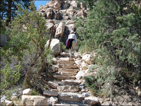 Hiker on stone stairs climbing out of Red Rock Wash (view SW) |
 |
 |
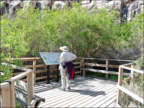 Hiker at information sign on Lost Creek Boardwalk (view W) |
 Continuing on the Lost Creek Boardwalk (view W) |
 The Willow Springs Loop Trail will go past this information sign |
 Hiker exiting the boardwalk (view W) |
 Beyond the boardwalk, entering the wilderness area (view W) |
 Hiker at unmarked trail junction (view W) |
 Willow Springs Loop Trail (view N from Lost Creek Loop Trail) |
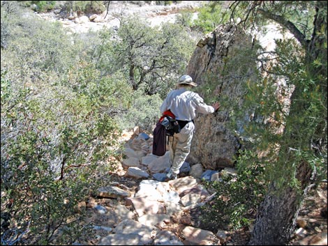
 Hiker approaching enormous boulder (view NW) |
 Hiker under enormous boulder (view NW) |
 Post marks pictographs under boulder (view NE) |
 |
 |
 |
 |
 Pictograph (view W) |
 Pictograph (view W) |
 |
 |
 |
 |
 Hiker at Willow Springs - Children's Discovery trail junction (view N) |
 Willow Springs - Children's Discovery trail sign (view NW) |
 Hiker continuing on Willow Springs Loop Trail (view W) |
 Hiker in gap between boulders (view NW) |
 Hiker exiting gap between boulders (view NW) |
 Hiker resting in the shade of the boulder (view NW) |
 |
 |
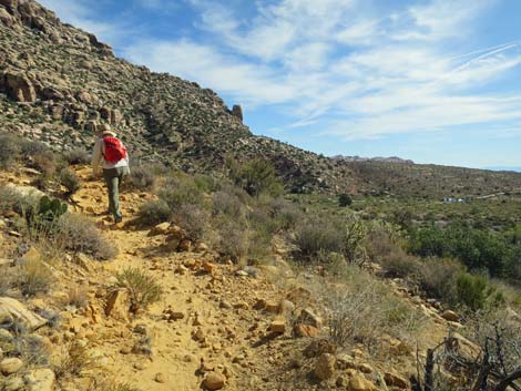 Hiker on trail winding along hillside (view E) |
 Up-and-downs traversing hillside (view NE) |
 Hiker on trail winding along hillside (view E) |
 Hiker at viewpoint overlooking Willow Springs (view N) |
 Hiker on trail winding along hillside (view E) |
 Hiker on trail winding along hillside (view E) |
 |
 |
 Hiker on trail (view N) |
 Another viewpoint overlooking Willow Springs (view NE) |
 |
 |
 |
 |
 Hiker on trail (view N) |
 Hiker passing trail junction to Upper Lost Creek Falls (view NW) |
 Trail junction to Upper Lost Creek Falls (view NW) |
 |
 Hiker starting down towards Willow Springs (view NE) |
 Colorful bedrock on the trail (view NE) |
 Steep trail leading down to Willow Springs (view N) |
 Steep trail leading down towards Willow Springs (view NE) |
 |
 |
 Hiker on steep stone stairs (view E) |
 Trail runs through oak thicket (view NE) |
 Hiker crossing Red Rock Wash (view E) |
 Hiker beyond Red Rock Wash (view E) |
 Hiker approaching Willow Springs (view NE) |
 Hiker returning to Willow Springs Trailhead (view NE) |
Table 1. Hiking Coordinates Based on GPS Data (NAD27; UTM Zone 11S). Download Hiking GPS Waypoints (*.gpx) file.
| Wpt. | Location | UTM Easting | UTM Northing | Elevation (ft) | Point-to-Point Distance (mi) | Cumulative Distance (mi) |
|---|---|---|---|---|---|---|
| 01 | Willow Springs Trailhead | 635136 | 4002657 | 4,574 | 0.00 | 0.00 |
| 02 | Handprints Rock | 635238 | 4002576 | 4,560 | 0.09 | 0.09 |
| 03 | Agave Roasting Pit | 635249 | 4002550 | 4,554 | 0.02 | 0.11 |
| 04 | Trail Junction | 635583 | 4002350 | 4,478 | 0.28 | 0.39 |
| 05 | Lost Creek Parking, East Road Edge | 635589 | 4002276 | 4,470 | 0.06 | 0.45 |
| 06 | Lost Creek Parking, Lost Creek Trailhead | 635572 | 4002257 | 4,469 | 0.01 | 0.46 |
| 08 | SMYC Trail Junction | 635498 | 4002237 | 4,474 | 0.05 | 0.51 |
| 09 | Red Rock Wash | 635384 | 4002176 | 4,478 | 0.10 | 0.61 |
| 10 | Start Boardwalk | 635325 | 4002133 | 4,505 | 0.05 | 0.66 |
| 11 | End Boardwalk | 635298 | 4002127 | 4,515 | 0.02 | 0.68 |
| 12 | Unmarked Trail Junction | 635280 | 4002125 | 4,522 | 0.01 | 0.69 |
| 14 | Huge Boulder | 635283 | 4002133 | 4,519 | 0.01 | 0.70 |
| 15 | Pictograph Site | 635293 | 4002172 | 4,522 | 0.03 | 0.73 |
| 16 | Childrens Discovery Trail | 635234 | 4002258 | 4,532 | 0.08 | 0.81 |
| 17 | Top of Little Ridge | 635231 | 4002301 | 4,550 | 0.05 | 0.86 |
| 19 | Highpoint on Trail | 635118 | 4002391 | 4,596 | 0.11 | 0.97 |
| 20 | Red Rock Wash | 635118 | 4002491 | 4,540 | 0.08 | 1.05 |
| 21 | Road Edge | 635140 | 4002610 | 4,564 | 0.08 | 1.13 |
| 01 | Willow Springs Trailhead | 635136 | 4002657 | 4,574 | 0.03 | 1.16 |
Happy Hiking! All distances, elevations, and other facts are approximate.
![]() ; Last updated 240330
; Last updated 240330
| Hiking Around Red Rocks | Hiking Around Las Vegas | Glossary | Copyright, Conditions, Disclaimer | Home |