Hiking Around Las Vegas, Red Rock Canyon National Conservation Area
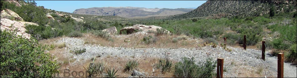
 Trailhead at Willow Springs picnic area (view S) |
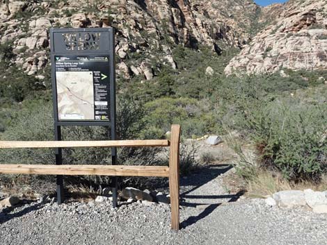
Overview This nice, 1.1-mile loop trail runs down one side of Red Rocks Wash and back up the other. The scenery is great, the desert vegetation is relatively lush (well, for the desert), there are two springs with riparian vegetation, there are interesting Native American sites along the way, and there is always the chance of seeing bighorn sheep. This loop can be started at either end and walked in either direction. Here, the route is described as running from Willow Springs to Lost Creek down the west side of the canyon, then looping back on the east side (counter-clockwise). For the opposite direction, see Willow Springs Loop Trail (clockwise). Link to trail map. |
 Trailhead at Willow Springs picnic area (view W) |
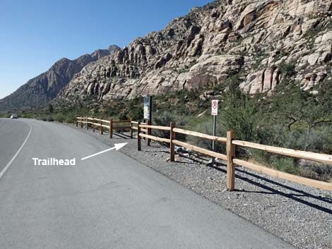
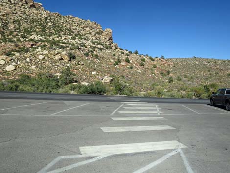
Watch Out Other than the standard warnings about hiking in the desert, ...this is a safe hike if hikers stay on the trail. Watch for cars when crossing the road. Please respect the Native American sites and don't deface them; they are part of the history of this land, and when they are gone, they are gone forever. While hiking, please respect the land and the other people out there, and try to Leave No Trace of your passage. Also, even though this hike is short, be sure to bring what you need of the 10 Essentials. Getting to the Trailhead This hike is located along the Scenic Loop Road in Red Rock Canyon National Conservation Area, about 1 hour west of Las Vegas. Drive out to Red Rocks, pay the entrance fee, and then drive about half-way around the Scenic Loop Road to Willow Springs Road. Turn right and drive north 0.6 miles to the Willow Springs Trailhead at the end of the pavement. Park here; this is the trailhead. |
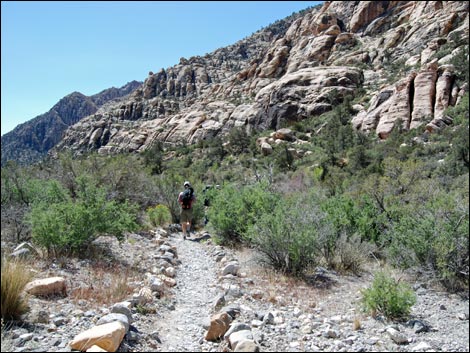
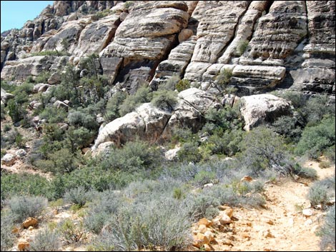
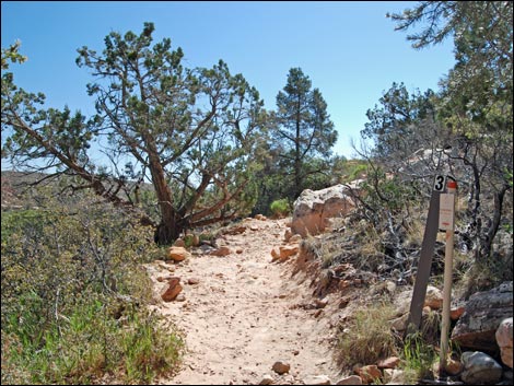
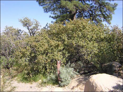
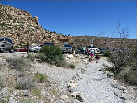
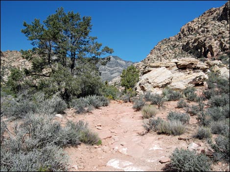
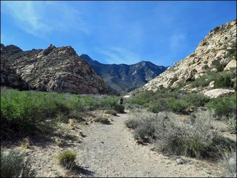
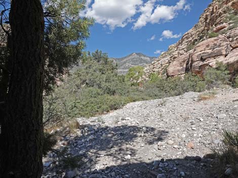
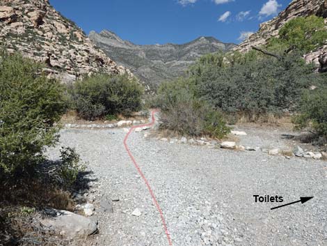
 Start of the trail (view SW) |
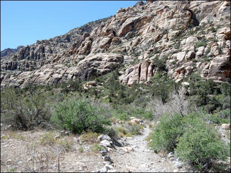
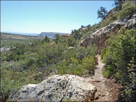
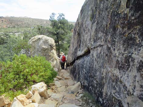
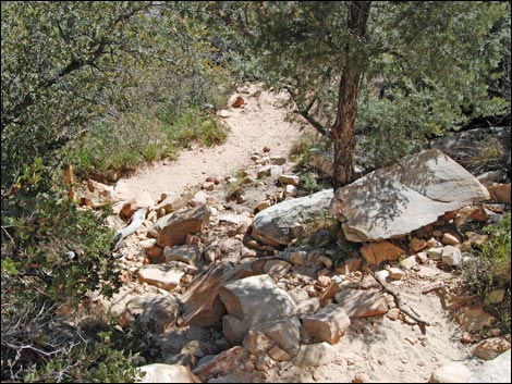
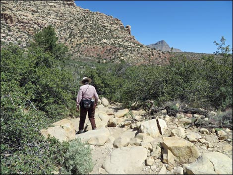
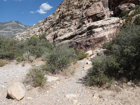
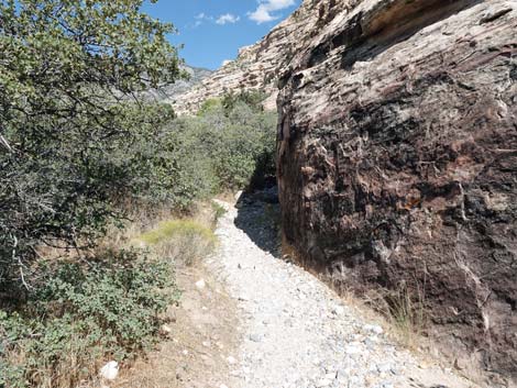
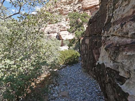
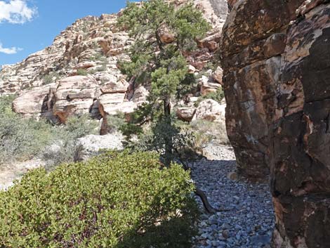
The Hike From the Willow Springs Trailhead (Table 1, Waypoint 21) on the west side of the road a bit back from the end of the pavement, the trail runs south angling downstream and across Red Rock Wash. Across the wash (Wpt 20), the trail climbs through a thicket of Shrub Live Oak Trees, then climbs fairly steeply onto a highpoint (Wpt 19) overlooking the entire Willow Springs area. From the highpoint, the trail runs south, winding along the hillside and among Singleleaf Pinyon Pine Trees that add variety to the vegetation in this area. Along the way, there are some nice views up and down the canyon. Eventually the trail descends through a slot between enormous boulders to a trail junction (Wpt. 16) with the Children's Discovery Trail. Turning right, the trail follows the Children's Discovery Trail south as it winds beneath a band of cliffs. |
 Descending towards Red Rock Wash (view SW) Descending towards Red Rock Wash (view SW) |
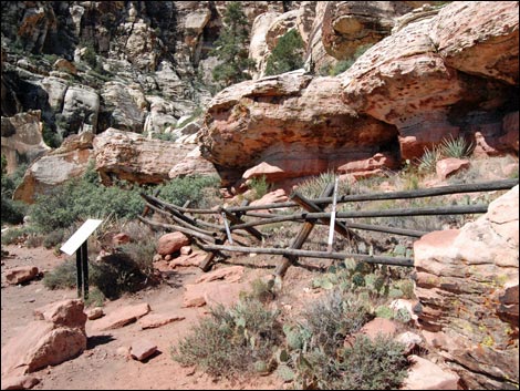
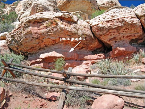
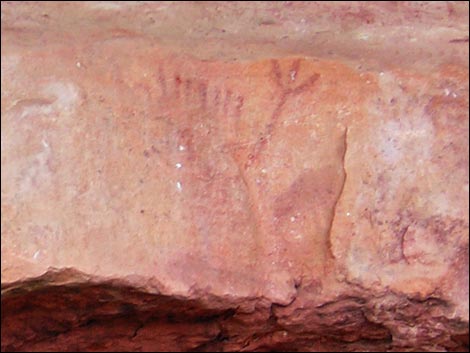
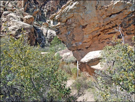
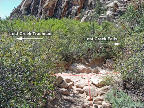
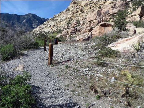
The trail quickly arrives at a Native American rock art site (Wpt 15) behind a pole fence. The overhang at the top of the low rock wall protects faint red marks painted (pictographs) on the rocks from damage by rain and direct sunlight. Continuing, the trail winds around and under a huge boulder, then quickly arrives at another trail junction (Wpt. 12), this time with the Lost Creek Trail. Before making the left turn and starting back towards Willow Springs, consider turning right and walking up to Lost Creek Falls (Wpt 22). The canyon narrows, and after a minute or two, the trail crosses Lost Creek beneath an enormous Ponderosa Pine. A park bench invites hikers to sit, relax, and listen to the sounds of the canyon. Past the bench, the trail climbs around and under boulders and quickly arrives at the waterfall at the end of the trail. For details of this trail, see the description of the Lower Lost Creek Falls Trail. When ready, return to the trail junction (Wpt 12). |
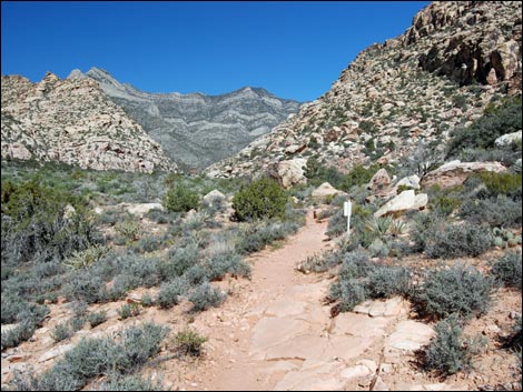
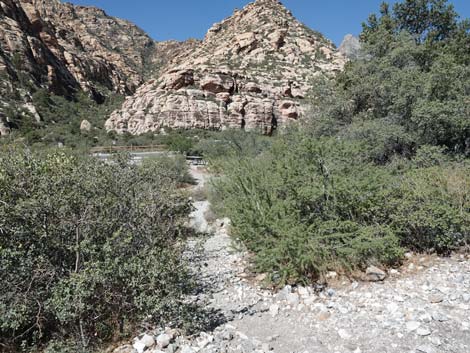
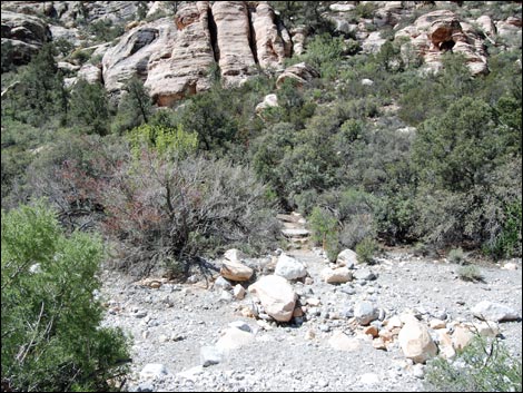 Trail crosses Red Rock Wash (view SW) |
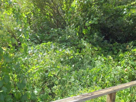
Turning left onto Lost Creek Trail, the trail runs about 20 yards to a boardwalk (Wpt. 11) that help hikers get through a wet willow thicket without damaging the delicate habitat or getting one's boots muddy. The boardwalk is a nice place to stop, sit, relax in the shade of the willows, and listen to the sounds of water and birds. Continuing east, the trail exits the boardwalk (Wpt. 10) and descends the rocky hillside into Red Rock Wash (Wpt. 09). In wet years, water flows in the wash, which is always nice to see in the desert. Even in dry years, however, there is enough water deep in the gravel to support thickets of Shrub Live Oak, Desert Willow, Redbud, and other small trees that grow in the wash. Still continuing east, the trail crosses Red Rock Wash and arrives at another trail junction (Wpt. 08). Here, the SMYC Trail turns right and runs south down the wash, while the Willow Spring Loop Trail continues straight towards the Lost Creek Trailhead (Wpt. 06). |
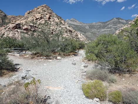
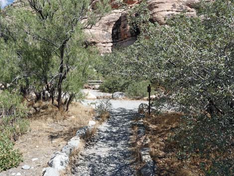
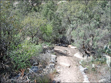 Trail on oak-covered hillside (view W) |
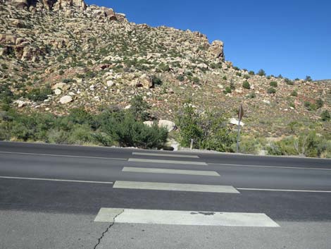
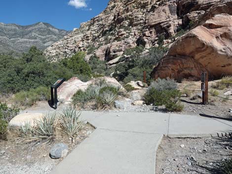
Still continuing east, the trail crosses Willow Springs Road (Wpt. 05). Look carefully in both directions because with so much grand scenery, drivers won't be watching the road. The trail bends to the left and climbs slightly to arrive at yet another trail junction (Wpt. 04), this time merging with the White Rock Loop Trail. Running north with the White Rock Loop Trail, the trail runs about 0.3 miles back to the edge of the Willow Springs Picnic Area. Along this section, watch carefully for Bighorn Sheep on the hillside above the trail, as they often are seen close to the trail (sometime between the trail and the road). The trail runs up along a fenced hillside, then arrives at a concrete walkway. On the right at this point is another cultural site. First, the trail passes an agave roasting pit (Wpt. 03) and then a pictograph site (Wpt. 02) where native peoples painted their hand and did a "high-five" on the rock, leaving behind five handprints for the ages. Signs provide information about the site. |
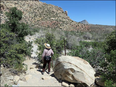
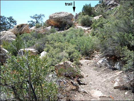 Climbing hillside towards large boulder (view S) |
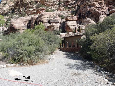
After spending a few minutes reading the signs and contemplating the lives of people who lived here hundreds of years ago, the trail continues up the cement walkway into the picnic area. Adjacent to a restroom, it is easiest to just walk in the roadway back to the trailhead (Wpt. 01), although the official trail wanders through the picnic area to the main restroom building and Willow Spring, proper. |
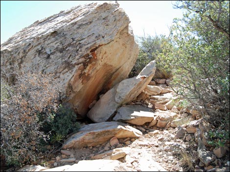 Trail passes large boulder (view S) |
 Highpoint (view S) |
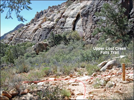 Trail junction to Upper Lost Creek Falls (view S) |
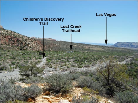 Viewpoint (view SE towards landmarks and Las Vegas) |
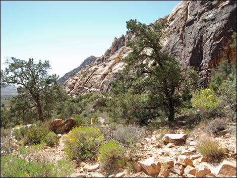
 Trail winds along the hillside (view SW) |
 Trail approaching the narrow slot (view S) |
 Trail descending through the narrow slot (view SE) |
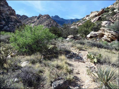
 After sliding between boulders, trail merges with Children's Discovery |
 Trail junction (view S along Children's Discovery trail) |
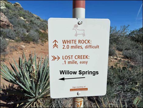
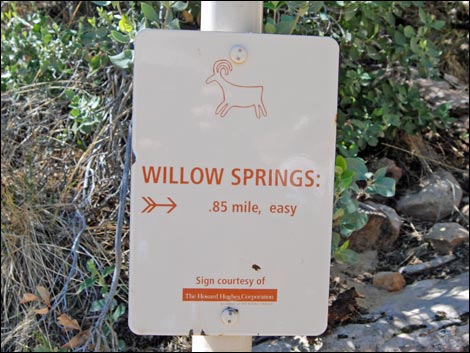 Sign at trail junction (view W) |
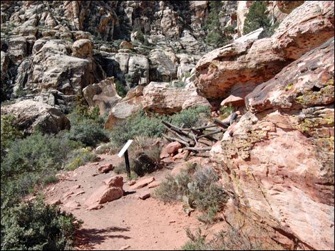 Approaching a rock art site (view SW) |
 Rock art site (view SW) |
 Rock art site (view W) |
 Pictograph |
 Trail passes beneath an enormous boulder (view SW) |
 Boardwalk entering the Lost Creek Spring area (view NE) |
 Unmarked junction with Lower Lost Creek Falls Trail (view S) |
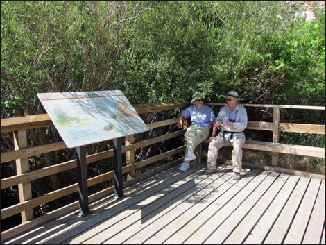 Hikers resting shade on boardwalk at Lost Creek Spring |
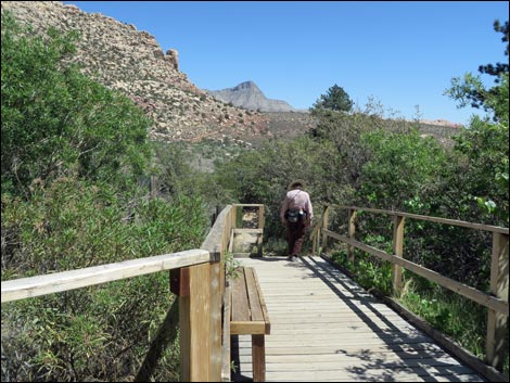 Hiker departing the boardwalk (view E) |
 |
 Trail marker #7 along Children's Discovery Trail |
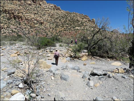
 Hikers approaching Red Rock Wash (view E) |
 Hikers crossing Red Rock Wash (view E) |
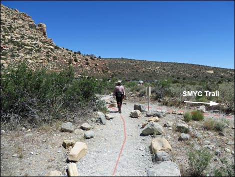 Hiker at SMYC Trail junction (view SE) |
 Hikers arriving at Lost Creek Trailhead (view SE) |
 Lost Creek Trailhead parking (view E) |
 Crossing Willow Springs Road (view E) |
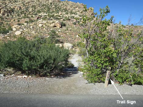 Notice small trail sign at edge of Willow Springs Road (view E) |
 Trail climbs onto hillside and turns north (view N) |
 Approaching White Rock Loop trail junction (view N) |
 Sign at White rock Loop trail junction (view E) |
 Trail running north towards Willow Spring Picnic Area (view NW) |
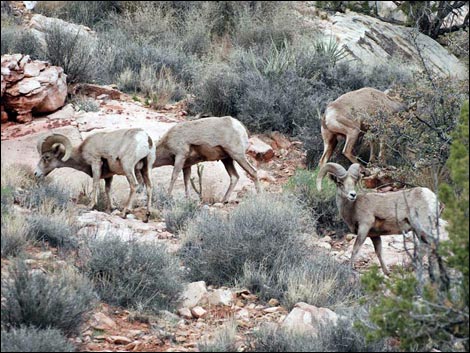 Bighorn Sheep on the hillside above the trail |
 Trail running north towards Willow Spring Picnic Area (view NW) |
 Fencing along the trail protects agave roasting pit (view N) |
 Agave roasting pit (view SE) |
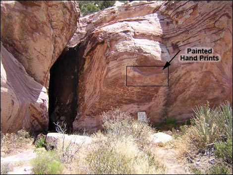 Handprints pictograph site (view NE) |
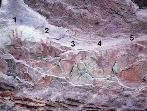 Five hand marks at Handprints pictograph site (view NE) Five hand marks at Handprints pictograph site (view NE) |
 Trail continues straight past Handprints exhibit (view N) |
 Past concrete, trail continues along base of hillside (view N) Past concrete, trail continues along base of hillside (view N) |
 Trail continues along base of hillside (view N) |
 Trail continues along base of sandstone boulder (view N) |
 Trail continues along sandstone boulder (view N) |
 Trail continues along sandstone boulder to pinyon pine tree (view N) |
 At pinyon pine tree, trail turns left (view N) |
 Past tree, trail runs through shrub live oak (view NW) |
 Entering picnic area, trail stays right (view N) |
 Trail passes near restrooms (view NE) |
 Trail continues into picnic area (view N) |
 Trail continues through picnic area (view N) |
 Approaching the eastern trailhead sign (view NW) |
 Willow Springs Loop Trail ending at the parking area (view NW) |
Table 1. Hiking Coordinates Based on GPS Data (NAD27; UTM Zone 11S). Download Hiking GPS Waypoints (*.gpx) file.
| Wpt. | Location | Easting | Northing | Elevation (feet) | Point-to-Point Distance | Cumulative Distance | Verified |
|---|---|---|---|---|---|---|---|
| 21 | End of Trail | 635138 | 4002610 | 4,564 | 0.00 | 0.00 | GPS |
| 20 | Red Rock Wash | 635110 | 4002496 | 4,540 | 0.09 | 0.09 | GPS |
| 19 | Highpoint on Trail | 635123 | 4002394 | 4,596 | 0.07 | 0.16 | GPS |
| 17 | Top of Little Ridge | 635231 | 4002301 | 4,550 | 0.11 | 0.27 | GPS |
| 16 | Children's Discovery Trail | 635234 | 4002262 | 4,532 | 0.04 | 0.31 | GPS |
| 15 | Pictograph Site | 635276 | 4002165 | 4,521 | 0.08 | 0.39 | GPS |
| 14 | Huge Boulder | 635283 | 4002133 | 4,519 | 0.03 | 0.42 | GPS |
| 12 | Trail Junction | 635274 | 4002117 | 4,521 | 0.01 | 0.43 | GPS |
| 22 | Lost Creek Falls | 635211 | 4002114 | 4,518 | . | . | Yes |
| 11 | End Boardwalk | 635297 | 4002125 | 4,515 | 0.02 | 0.45 | GPS |
| 10 | Start Boardwalk | 635327 | 4002129 | 4,505 | 0.02 | 0.47 | GPS |
| 09 | Red Rock Wash | 635384 | 4002175 | 4,478 | 0.04 | 0.51 | GPS |
| 08 | SMYC Trail | 635496 | 4002238 | 4,474 | 0.09 | 0.60 | GPS |
| 06 | Lost Creek parking, Lost Creek Trailhead | 635573 | 4002262 | 4,474 | 0.05 | 0.65 | Yes |
| 05 | Lost Creek parking, East Road Edge | 635588 | 4002281 | 4,470 | 0.02 | 0.67 | GPS |
| 04 | White Rock Loop Trail | 635586 | 4002349 | 4,478 | 0.06 | 0.73 | GPS |
| 03 | Agave Roasting Pit | 635234 | 4002552 | 4,554 | 0.29 | 1.02 | GPS |
| 02 | Pictograph Rock | 635222 | 4002572 | 4,560 | 0.02 | 1.04 | GPS |
| 01 | Willow Springs Trailhead | 635167 | 4002571 | 4,574 | 0.04 | 1.08 | GPS |
| 21 | End of Trail | 635138 | 4002610 | 4,564 | 0.02 | 1.10 | GPS |
Happy Hiking! All distances, elevations, and other facts are approximate.
![]() ; Last updated 240330
; Last updated 240330
| Hiking Around Red Rocks | Hiking Around Las Vegas | Glossary | Copyright, Conditions, Disclaimer | Home |