Hidden Valley Trail (BLM 300)
Hiking Around Las Vegas, Sloan Canyon NCA
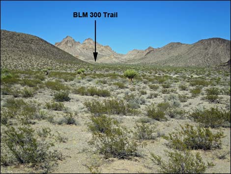
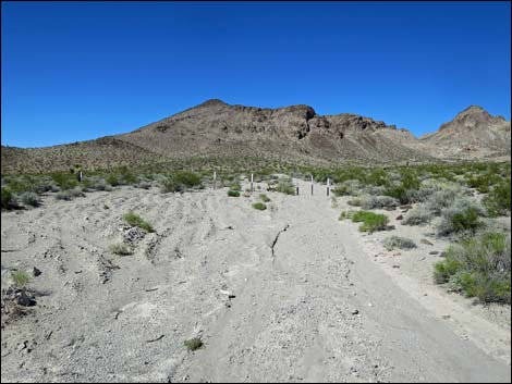
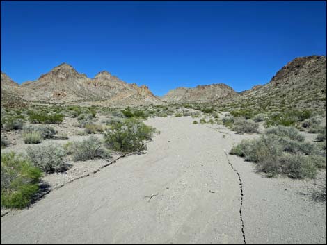
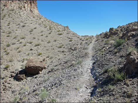
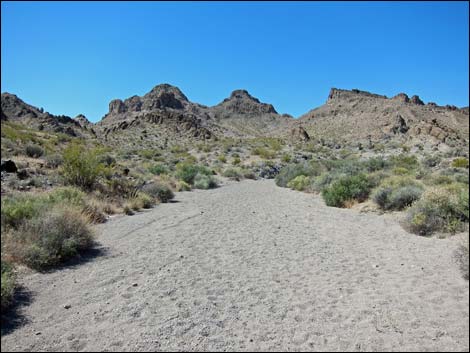
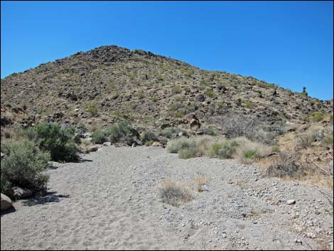
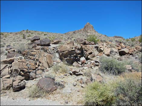
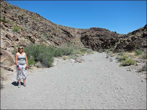
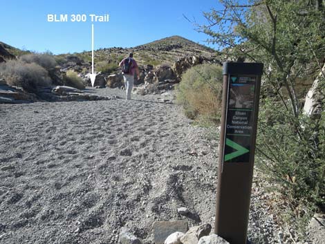
 Hidden Valley Trailhead (view NE) |
Overview The Hidden Valley Trail starts at the Hidden Valley Trailhead on the south edge of the North McCullough Wilderness Area and climbs onto the crest of the mountains. From that scenic vantage, the route descends northward across hillsides and down washes almost to Petroglyph Canyon. when the trail ends at a 3-way trail intersection. Hikers can continue another 0.4 miles to Petroglyph Canyon using the Petroglyph Trail. When ready, hikers can return over the same route, or return using any of several alternatives. This trail is well constructed and easy to follow except at one point where it takes an unexpected turn to the left. Signs and cairns indicate the turn, but would be easy to miss. Hikers who miss the turn can continue along washes and eventually get back on the correct route. Link to map. |
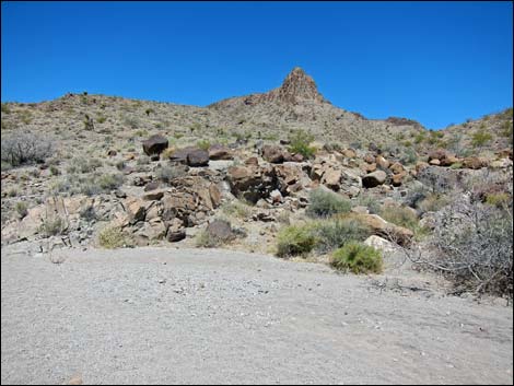
 Hidden Valley -- BLM 300 -- Trailhead (view NE) |
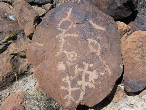
Watch Out Other than the standard warnings about hiking in the desert, there are no particular dangers on this route. While hiking, please respect the land and the other people out there, and try to Leave No Trace of your passage. Also, this hike is fairly remote, so be sure to bring the 10 Essentials. Cell phones might work along some parts of this route. This trail leads into a Wilderness area and to a site sacred to Native Americans, so pay particular attention to respecting the land. Don't touch petroglyphs because oils on your hands slowly damage the artwork. Getting to the Trailhead This hike is located in the Sloan Canyon National Conservation Area, on the south side of the North McCullough Wilderness Area. From town, drive south about 1 hour to the Hidden Valley Trailhead. Note that the access road requires a 2WD-HC vehicle except under the best of conditions. |
 Start of Hidden Valley Trail (view NE) |
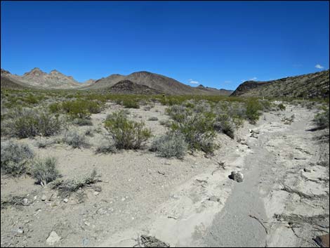
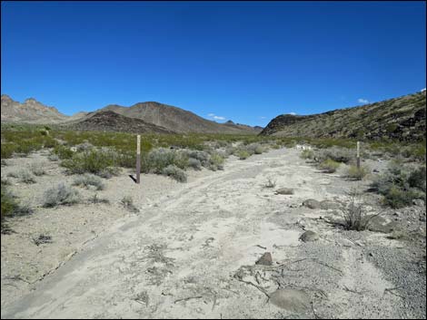
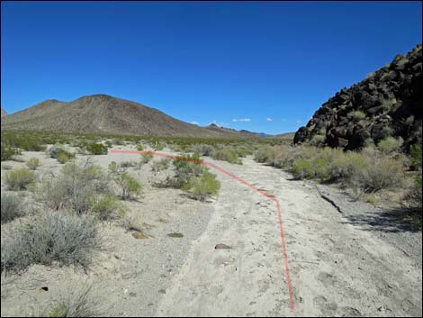
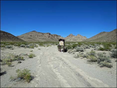
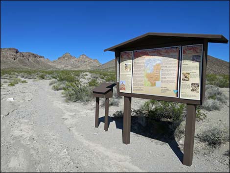
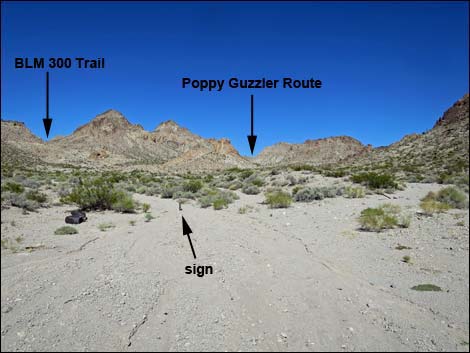
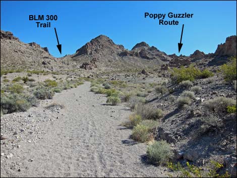
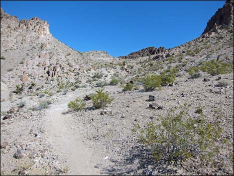
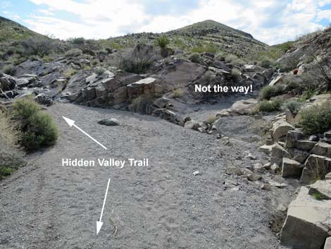
The Hike From the Hidden Valley Trailhead (Table 1, Waypoint 00), the Hidden Valley Trail leaves the parking area following the rehabilitated old road. The road bends right to follow the base of a low hill on the right. When the old road bends left away from the hillside, look for petroglyphs a bit farther along the hillside. The old road passes an information sign and sign-in register, and eventually enters the Wilderness area (Wpt. 01) and continues to the original trailhead. Just beyond the old trailhead parking area, the wash splits (Wpt. 02). The signed Hidden Valley Trail (BLM 300) follows the left fork, while the Poppy Guzzler route stays to the right. Staying left on the Hidden Valley Trail, the route runs up a sandy wash to the base of the hillside ahead, then bends right onto a constructed trail. The trail climbs the hillside, switchbacking when necessary, to the saddle above (Wpt. 03). |
 Trail bends right but eventually goes over there (view NE) |
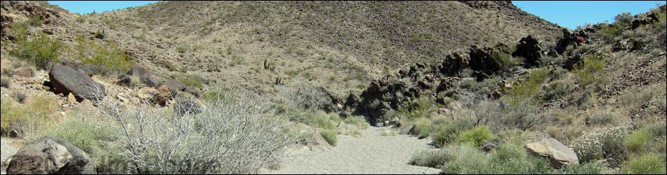
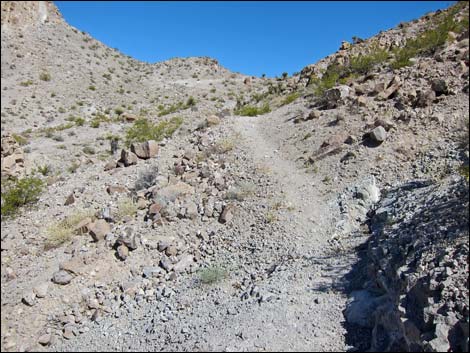
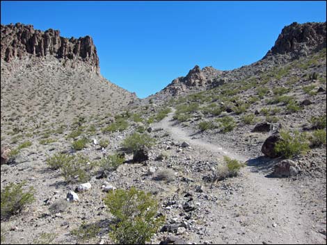
From the saddle (Wpt. 03), the Hidden Valley Trail descends the other side, crossing the sidehill to the northeast. The trail runs down into a wash, then suddenly turns left (Wpt. 04) to climb the far hillside onto another saddle (Wpt. 05). Watch carefully for cairns at the turn in the trail, but otherwise, just continue downhill in the wash - it will get you there too. Crossing the saddle (Wpt. 05), the Hidden Valley Trail switchbacks down the steep hillside, then runs down the hillside to enter a major wash (Wpt. 06) at the point of confluence of two washes. This is Sloan Canyon Wash, which runs north through Petroglyph Canyon. Following Sloan Canyon Wash downstream, the Hidden Valley Trail winds about and is joined by a major wash from the right (Wpt. 07). For hikers who missed the turn out of the wash (Wpt. 04), this is the point to rejoin the Hidden Valley Trail. |
 Trail follows old road (view E) |
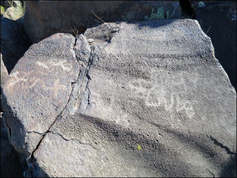
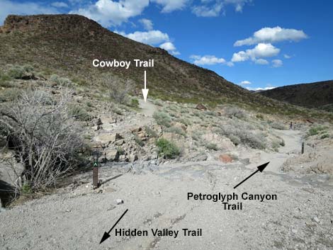
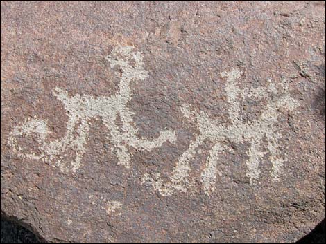
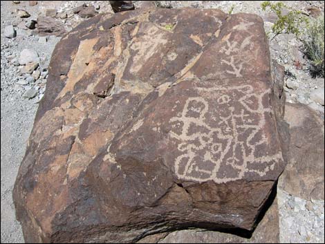
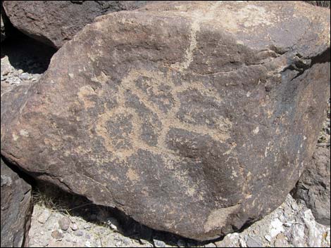
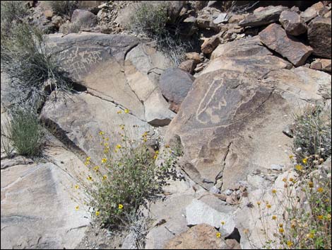
Continuing down Sloan Canyon Wash, the Hidden Valley Trail reaches a major wash joining from the left. At this point, the Hidden Valley Trail reaches a 3-way intersection (Wpt. 08) with the Cowboy Trail (BLM 200) and the Petroglyph Trail (BLM 100). This, however, is not a good place to stop, and most hiker at this point will want to continue to Petroglyph Canyon. For hikers who don't want to descend the pour-over below Petroglyph Canyon, Cowboy Trail is the bypass route for continuing north. Hiking downstream towards Petroglyph Canyon on what is now the Petroglyph Trail, Sloan Canyon Wash is joined by yet another major wash from the right (Wpt. 09). This wash can be used to follow the Poppy Guzzler Route back to the Hidden Valley Trailhead. At this point, Sloan Canyon Wash turns north and runs into Petroglyph Canyon (Wpt. 10). Hikers who get to the pour-over have gone too far. Enjoy the petroglyphs, respect the site, and return to the trailhead by following the Hidden Valley Trail or one of the other routes (see map) back to the trailhead. For more petroglyph photos, see Petroglyph Canyon. |
 Trail follows old road (view E) |
 Trail follows old road (view E) |
 |
 |
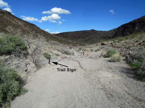
 Approaching trail information sign (view N) |
 Trail information sign (view NE) |
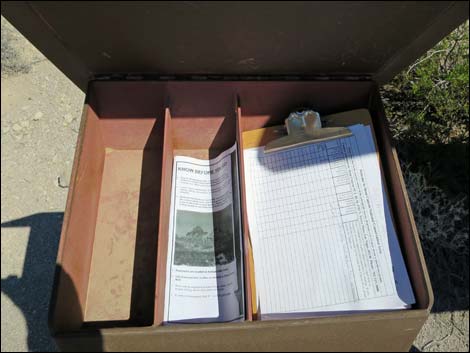 Sign-in sheet at trail information sign |
 Trail follows old road to old trailhead (view N) |
 Trail follows old road into North McCullough Wilderness (view N) |
 Trail follows old road past tall Mojave yucca (view N) |
 Approaching end of the old road (view NE) |
 Old road ends at historic trailhead (view NE) |
 Approaching sign in wash (view NE) |
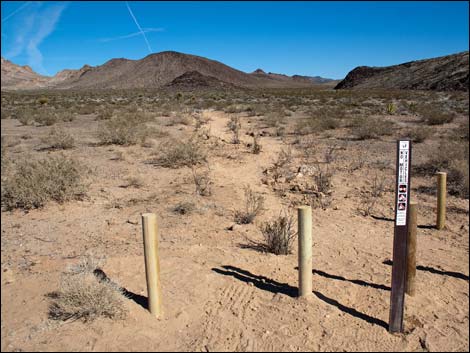
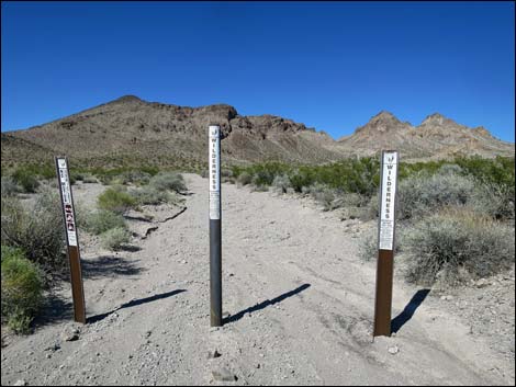
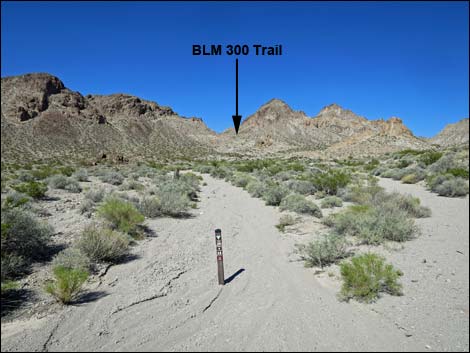
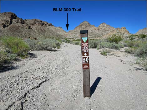 Hidden Valley Trail (BLM 300) sign in wash (view NE) |
 Wash above old trailhead parking (view NE) |
 Climbing towards the first saddle (view N) |
 Climbing towards the first saddle (view N) |
 Climbing towards the first saddle (view N) |
 Arriving at the first saddle (view N) |
 View north from saddle (view NE) |
 Descending hillside beyond saddle (view NE) |
 Trail crosses wash, then abruptly turns left (view NE) |
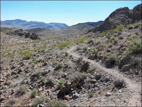
 Descending past second saddle (view N) |
 Descending past second saddle (view N) |
 Entering wash at confluence (view NE) |
 Looking back - don't miss the turn (view SW) |
 Looking back - don't miss the turn (view SW) |
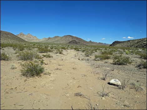
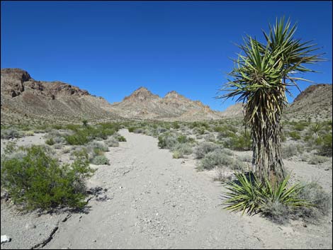
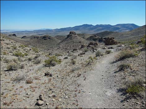
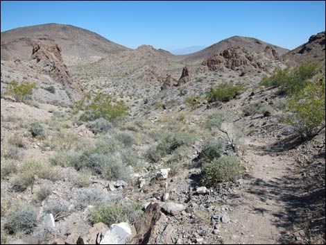
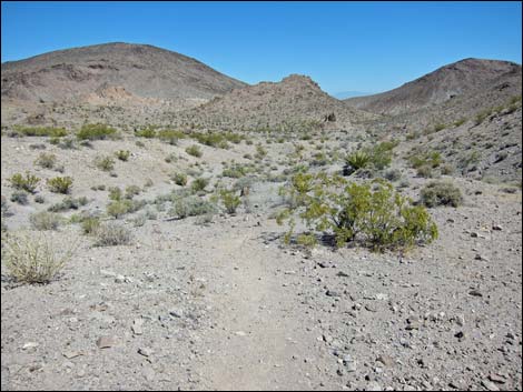
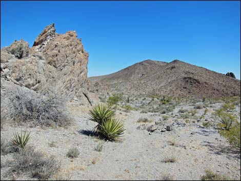
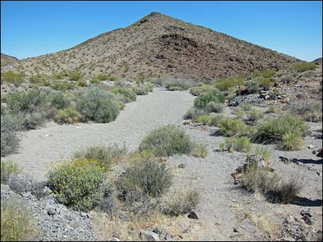
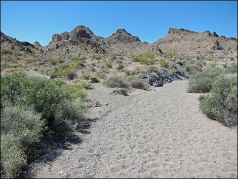
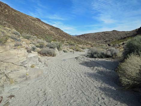
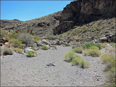
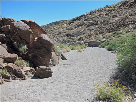
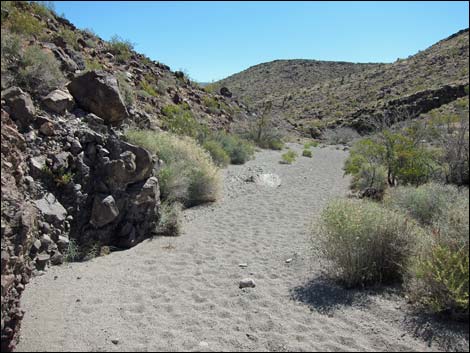 Continuing down canyon (view NE) |
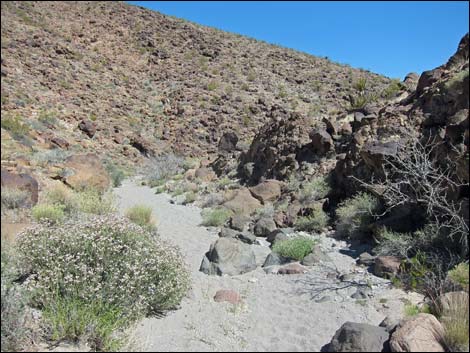 Continuing down canyon (view NE) |
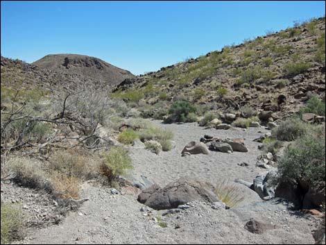 Continuing down canyon (view NE) |
 Continuing down canyon (view NE) |
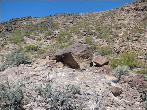
 Watch for petroglyphs along the wash |
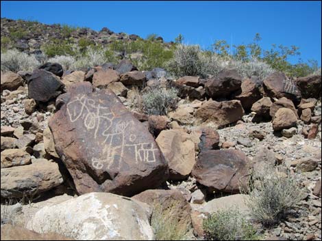 Watch for petroglyphs along the wash |
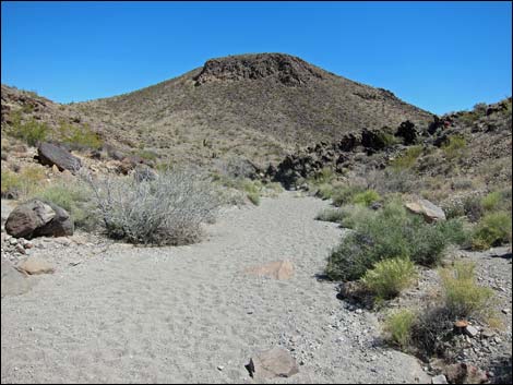 Continuing down canyon (view NE) |
 |
 |
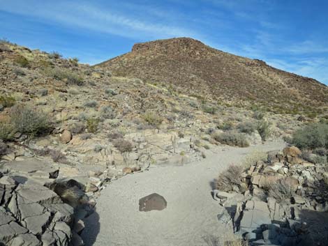
 Continuing down canyon towards trail junction (view NE) |
 Down canyon becomes the Petroglyph Canyon Trail (view NE) |
 Continuing down canyon, watch for petroglyphs along the wash |
 Continuing down canyon, watch for petroglyphs along the wash |
 Continuing down Petroglyph Trail (BLM 100 Trail; view NE) |
 Continuing down Petroglyph Trail (view NE) |
 Watch for petroglyphs along the wash |
 Watch for petroglyphs along the wash |
 Watch for petroglyphs along the wash |
 Watch for petroglyphs along the wash |
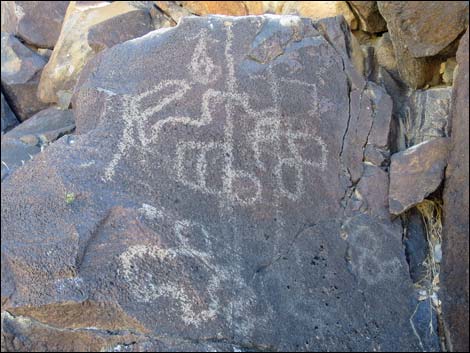
 Petroglyph Trail entering main petroglyph gallery (view NE) |
 Main petroglyph gallery |
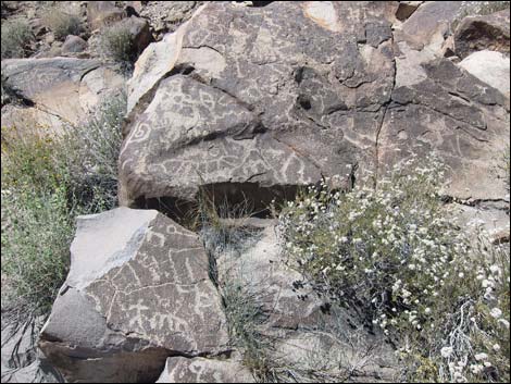 Main petroglyph gallery |
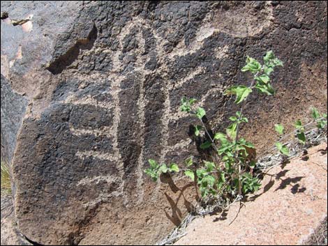 Main petroglyph gallery |
Hidden Valley Trail (BLM 300) at Petroglyph-Cowboy trail junction
 Hiker passing junction with Cowboy Trail (view W) |
 Hikers staying left in main wash -- do not turn right! (view SW) |
 Hidden Valley Trail continues up the wash (view SW) |
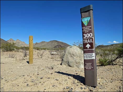
 Hidden Valley Trail trail sign (view SW) |
Table 1. Hiking Coordinates based on GPS data (NAD27; UTM Zone 11S). Download Hiking GPS Waypoints (*.gpx) file.
| Wpt. | Location | UTM Easting | UTM Northing | Elevation (ft) | Point-to-Point Distance (mi) | Cumulative Distance (mi) | Verified |
|---|---|---|---|---|---|---|---|
| 00 | BLM 300 Trailhead | 667127 | 3971034 | 3,236 | 0.00 | 0.00 | GPS |
| 01 | Wilderness Boundary | 667789 | 3971567 | 3,314 | 0.68 | 0.68 | GPS |
| 02 | Trail Forks | 668000 | 3971823 | 3,386 | 0.22 | 0.90 | GPS |
| 03 | Saddle | 668277 | 3972582 | 3,702 | 0.68 | 1.58 | GPS |
| 04 | Trail Exits Wash | 668639 | 3972735 | 3,553 | 0.30 | 1.88 | GPS |
| 05 | Saddle | 668636 | 3972764 | 3,568 | 0.02 | 1.90 | GPS |
| 06 | Trail Enters Wash | 668577 | 3973265 | 3,364 | 0.40 | 2.30 | GPS |
| 07 | Washes Merge | 668846 | 3973453 | 3,284 | 0.28 | 2.58 | GPS |
| 08 | Cowboy Trail Junction | 669061 | 3973640 | 3,225 | 0.23 | 2.81 | GPS |
| 09 | Washes Merge | 669396 | 3973774 | 3,169 | 0.26 | 3.07 | GPS |
| 10 | Petroglyph Area | 669389 | 3973962 | 3,146 | 0.13 | 3.20 | GPS |
| 01 | Trailhead | 667127 | 3971034 | 3,236 | 3.20 | 6.40 | GPS |
Happy Hiking! All distances, elevations, and other facts are approximate.
![]() ; Last updated 240330
; Last updated 240330
| Hiking Around Las Vegas | Hiking Around Wilderness Areas | Glossary | Copyright, Conditions, Disclaimer | Home |