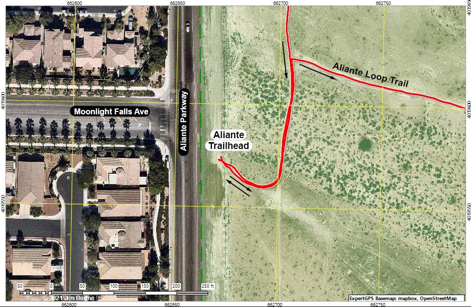
Tule Springs Fossil Beds National Monument
Happy hiking! All distances, elevations, and other facts are approximate.
![]() ; Last updated 211104
; Last updated 211104
| Aliante Trailhead | Hiking Around Las Vegas | Glossary | Copyright, Conditions, Disclaimer | Home |