Durango Drive Trailhead
Hiking Around Las Vegas; Tule Springs Fossil Beds National Monument
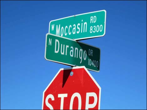 Durango Drive at Moccasin Road (view NW) |
Overview Tule Springs Fossil Beds National Monument is a new National Park Service area that was designated in December 2014. As of now, there are no formally designated trails at this point, but the Durango Trailhead provides paved parking and easy access into the National Monument. From downtown, drive north on Highway 95 towards Reno. Towards the north edge of town, exit right onto Durango Drive (Table 1, Site 1540), following signs towards Floyd Lamb Park at Tule Springs. Follow Durango as it bends to the left to run due north. Pass the turnoff to Floyd Lamb Park and continue north until Durango dead-ends into Moccasin Road (Site 1539). Just across Moccasin, on the left, the kiosk is visible and lines on the pavement indicate diagonal parking stalls. Park here; this is the trailhead. Link to Map. This trailhead provides access to the Durango Short Loop Route, the Durango Long Loop Route, and a plethora of old dirt roads that can be used a trails. |
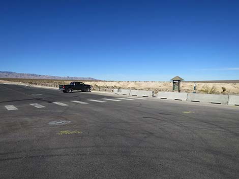
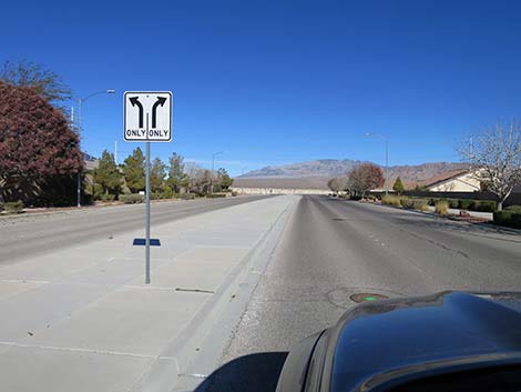 Durango Drive approaching Moccasin Road (view N) |
 Durango Drive approaching Moccasin Road (view N) |
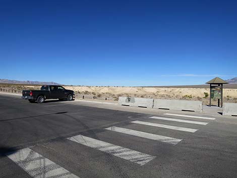
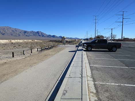
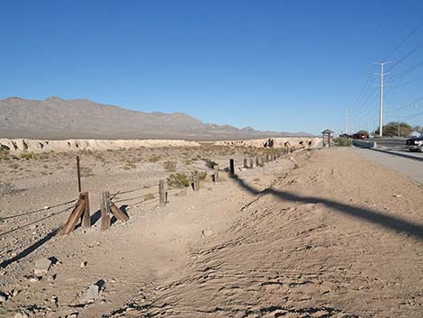
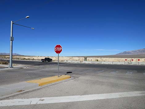 Durango Drive at Moccasin Road; parking at left (view NW) |
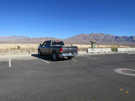
 Durango Drive trailhead parking (view NW) |
 |
 |
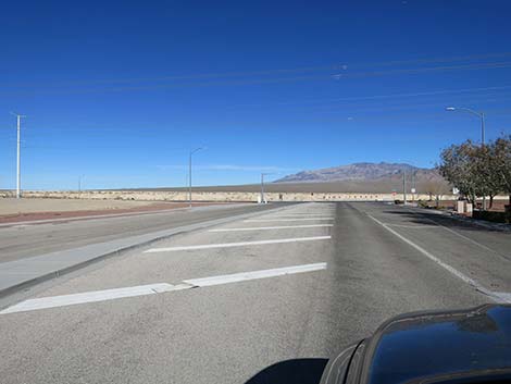
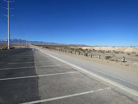 Lots of parking (view WNW) |
 Lots of parking (view ENE) |
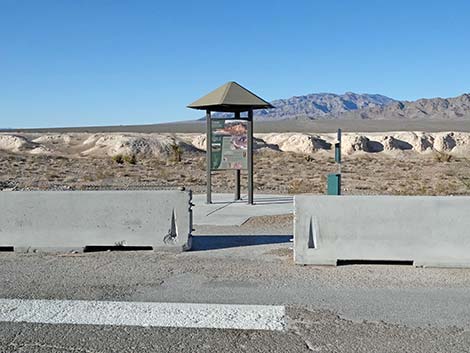 Durango Drive trailhead (view NNE) |
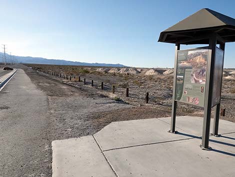
 Durango Drive trailhead kiosk (view N) |
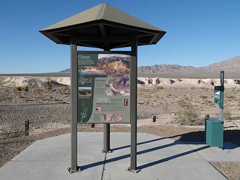
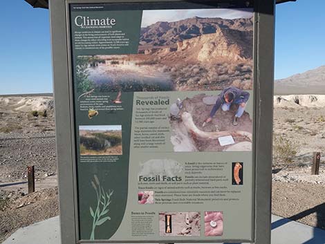 Durango Drive trailhead kiosk information sign (view N) |
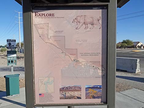 Durango Drive trailhead kiosk information sign (view SE) |
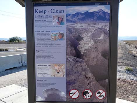 Durango Drive trailhead kiosk information sign (view SW) |
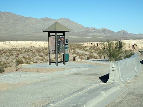 Durango Drive trailhead kiosk (view N) |
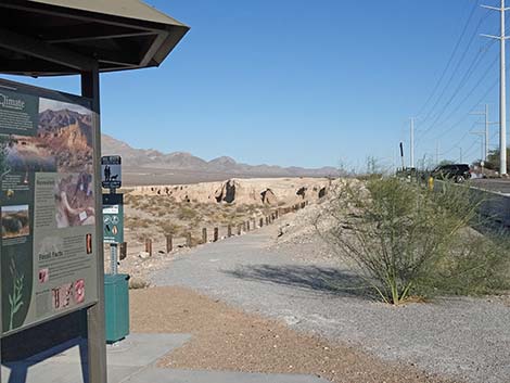 Trails start to the right of the kiosk (view E) |
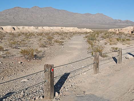 Start of trail to the right of the kiosk (view NE; step over cable fence) |
 Start of trail farther right of the kiosk (view NE; step over cable fence) |
 West Access is to the left of the trailhead kiosk (view NW) |
 West Access (view E towards the kiosk) |
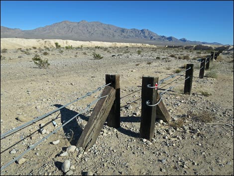 Durango Drive West Access (view ENE) |
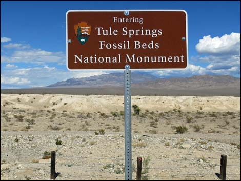 Durango Drive trailhead sign (view N) |
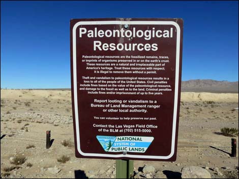 Paleontological Resources are protected -- no collecting! |
Table 1. Highway Coordinates based on GPS Data (NAD27; UTM Zone 11S). Download highway GPS waypoints (*.gpx) file.
| Site | Location | UTM Easting | UTM Northing | Latitude (N) | Longitude (W) | Elevation (ft) | Verified |
|---|---|---|---|---|---|---|---|
| 1539 | Durango Dr at Moccasin Rd | 654533 | 4022393 | 36.33601 | 115.27818 | 2,478 | Yes |
| 1540 | Hwy 95 at Durango Dr. | 653989 | 4018211 | 36.29841 | 115.28507 | 2,598 | Yes |
Happy hiking! All distances, elevations, and other facts are approximate.
![]() ; Last updated 240330
; Last updated 240330
| Hiking Tule Springs | Hiking Around Las Vegas | Glossary | Copyright, Conditions, Disclaimer | Home |