Backroads Around Las Vegas, Arrow Canyon Wilderness Area
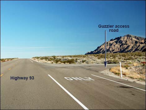 Highway 93 at Guzzler access road (view N) |
Overview Guzzler Access Road runs about 0.7 miles from Highway 93 to the trailhead for the hike to Arrow Guzzlers. This road uses graded roads to bypass a gravel pit and run up to a cell tower and a bit beyond. The entire road should be suitable for 2WD vehicles. Link to map. Watch Out Other than the standard warnings about driving in the desert, ...this is an easy drive, but always watch for debris on the road and watch for nails and broken glass at the trailhead. While out, please respect the land and the other people out there, and try to Leave No Trace of your passage. Also, even though this road is short, be sure to bring what you need of the 10 Essentials. |
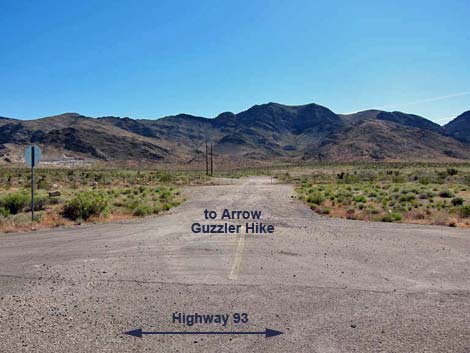 Guzzler access road (view E from Highway 93) |
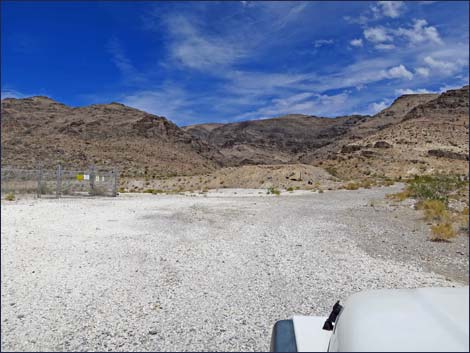
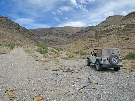
Getting to the Roadhead This road is located on Highway 93 about 30 minutes from town. From Las Vegas, drive north on Interstate-15 for 21 miles to Highway 93. Turn left onto Great Basin Highway (Hwy 93) and drive north 16.4 miles to a quarry road on the right (Table 1, Site 1026). The Road From Highway 93, turn right and drive through the gate in the highway fence onto the dirt. Drive east another 30 yards to a fork (Site 1826). Stay left and bend north staying left of the powerline. At about 0.3 miles out, the road forks (Site 1827) again. Stay right passing under the powerlines and heading towards a cell tower. Staying right of the cell tower, the road runs up into a canyon. There are several trailhead parking options, but just stopping at the mouth of the wash (Site 1827) probably is easiest even though drivers can stay left and drive a bit farther up the canyon. Park around here; this is the trailhead. Don't park in the wash if storms are in the forecast. |
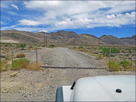 Gate in highway fence (view E) |
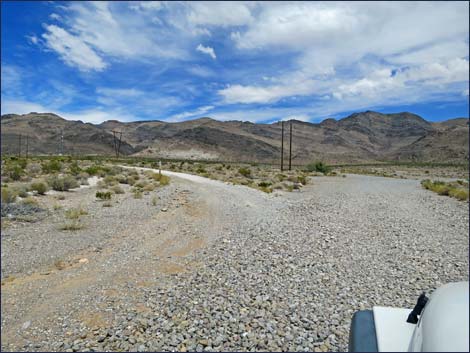 Road forks; stay left (view E) |
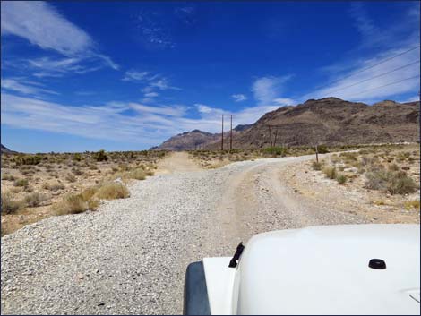 Road forks, stay right under powerline (view N) |
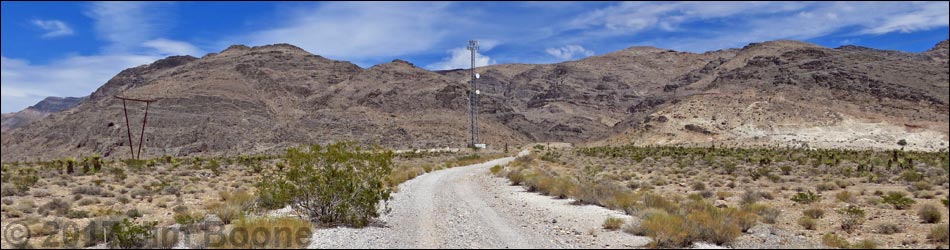
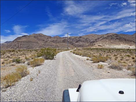 Continue towards cell tower (view NE) |
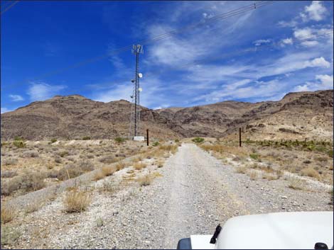 Approaching cell tower (view NE) |
 Passing fenced cell tower area (view E) |
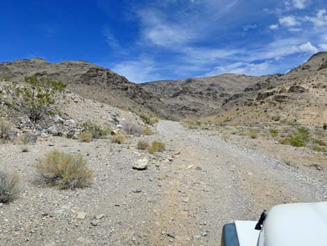 Road heads towards canyon (view E) |
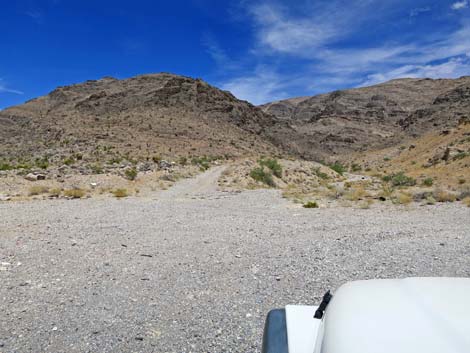 Road forks 3-4 ways (view E) |
 Easiest place for trailhead parking (view E) |
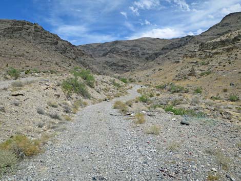 Start of the route to the guzzler (view E) |
Table 1. Highway Coordinates and Distances based on GPS Data (NAD27). Download Highway GPS Waypoints (gpx) file.
| Wpt. | Location | Latitude (N) | Longitude (W) | Elevation (ft) | Point-to-Point Distance (mi) | Cumulative Distance (mi) |
|---|---|---|---|---|---|---|
| 1026 | Hwy 93 at White Quarry Rd | 686192 | 4051458 | 2,790 | 0.00 | 0.00 |
| 1826 | Road Forks | 686271 | 4051468 | 2,809 | 0.05 | 0.05 |
| 1827 | Road Forks | 686428 | 4051874 | 2,832 | 0.28 | 0.33 |
| 1828 | Trailhead Parking | 686905 | 4052103 | 2,954 | 0.34 | 0.67 |
Happy Hiking! All distances, elevations, and other facts are approximate.
![]() ; Last updated 240330
; Last updated 240330
| Backroads | Hiking Around Las Vegas | Glossary | Copyright, Conditions, Disclaimer | Home |