Wee Thump Overlook Route
Southern Nevada Wilderness Areas, Hiking the Wilderness Areas
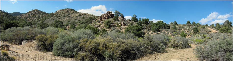
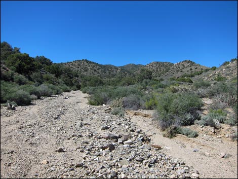
 Trailhead parking (view SW) |
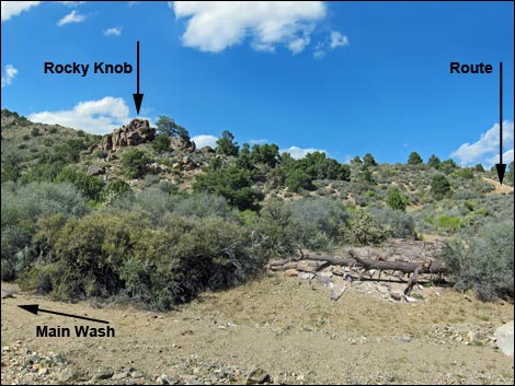
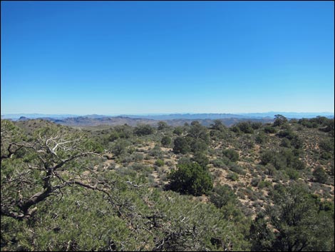
Overview This short, 0.43-mile route follows a wash into the South McCullough Wilderness Area. After climbing a hillside, the route arrives at a rocky knob (3rd-class scramble) that provides grand views in all directions, but especially to the southeast out across the Wee Thump Joshua Tree Wilderness Area to Spirit Mountain Wilderness Area in the far distance. Without climbing onto the knob, the views are almost as good. This short route provides a nice, scenic walk, but it is not a destination hike; that is, nobody would drive all the way for this route. Rather, this hike complements a day out in a jeep when people need to get out, stretch their legs, and enjoy a bit of wild solitude and grand scenery. |
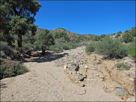
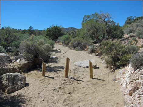 Trailhead vehicle barricades a bit past the parking area (view SW) |
Watch Out Other than the standard warnings about hiking in the desert, ... this is a safe hike, but the rocky knob is a 3rd-class climb. Always exercise extra caution when high enough to fall and get hurt. The knob looks like good rattlesnake habitat, but unfortunately, I've seen none. While hiking, please respect the land and the other people out there, and try to Leave No Trace of your passage. This hike goes into the South McCullough Wilderness Area, so pay particular attention to respecting the land. This hike runs off-trail where nobody will find you, so be sure to bring the 10 Essentials. Don't expect cell phones to work. Getting to the Trailhead This hike is located up in the McCullough Range, about 1.5 hours southeast of Las Vegas between Searchlight and Primm. Under the best of conditions, the access road does not require 4WD. I drove the sandy washes in 2WD, but with the comfort of knowing that I could shift into 4WD at any time. |
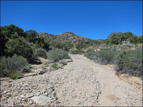
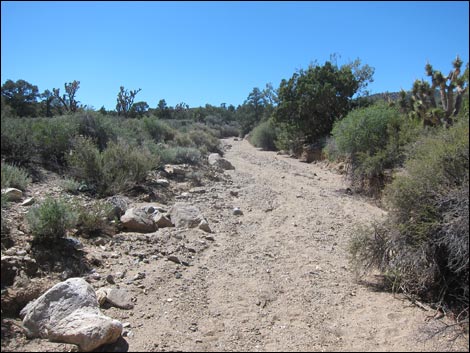 Route follows the wash (view SW) |
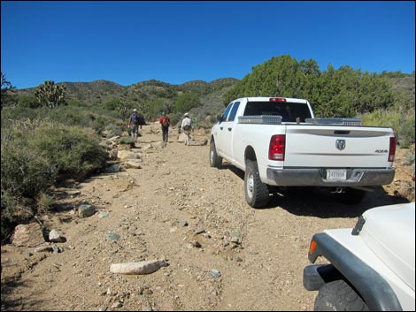
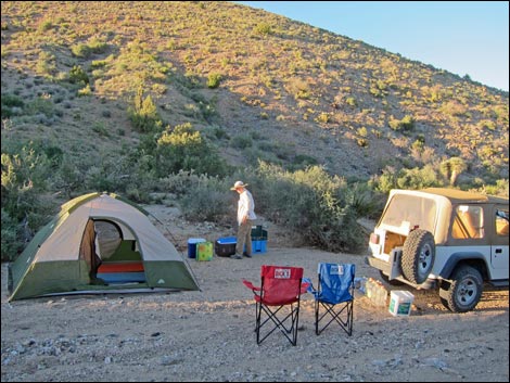
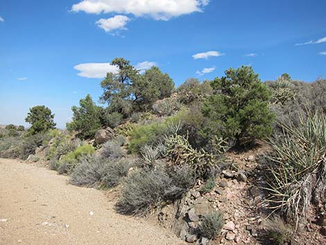
From town, drive south on Highway 95 to Searchlight (Table 1, Site 0927). In downtown Searchlight, turn right onto Highway 164 (Joshua Tree Highway) and drive west for 8.2 miles to Wee Thump East Road (Site 1299). In at least a 2WD-HC vehicle, drive north on Wee Thump East Road for 4.5 miles to Wee Thump North Road (Site 1300). Turn left onto Wee Thump North Road and drive west for 1.1 miles to Wee Thump West Road (Site 1301). Pine Spring Road continues straight across the intersection to the west. Drive west on Pine Spring Road for 1.5 miles to a fork (Site 1302). Stay left on the South Fork of Pine Spring Road and follow it to the end (Site 1350). Park here; this is the trailhead. Note that just before the end of the road, the road leaves the wash to the left; the wash dead ends into rocks, but it makes for a nice campsite. |
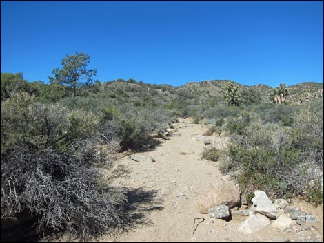 |
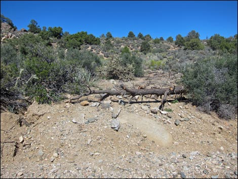
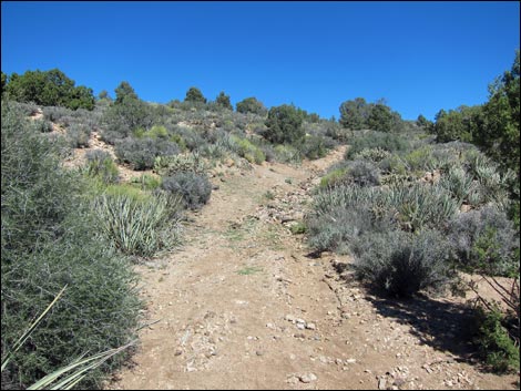
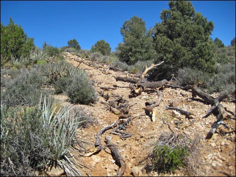
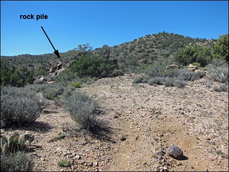
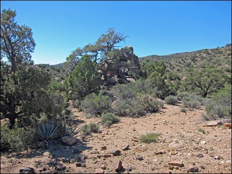
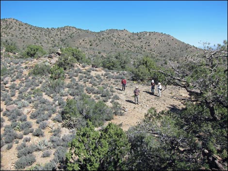
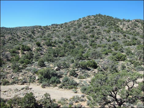
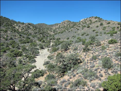
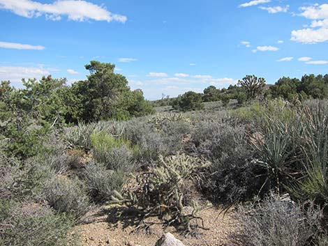
The Hike From the trailhead (Table 2, Waypoint 01), the route runs southwest up the sandy wash. Early on, the route provides views in all directions, but soon it starts up into a canyon that focuses the view to the west and northwest. The wash runs into a bit of a pour-over, but this is bypassed on the old road to the left. Shortly, the old road exits the wash (Wpt. 02) and turns north up a hillside. At this point, the rocky knob is clearly visible on the hillside. The old road runs north at a fair grade to a ridgeline, then turn west and runs out to an old campsite (Wpt. 03). Just beyond the campsite, the rocky knob invites hikers to the summit via a 3rd-class scramble up the easier west side. |
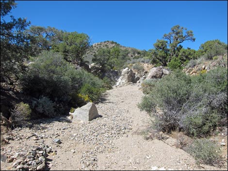
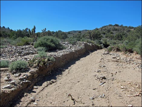 Route stays left on in rocky (not sandy) wash (view SW) |
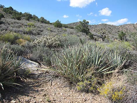
Views from the summit are grand, but the focus is to the southeast (out over the Wee Thump Joshua Tree Wilderness Area to Spirit Mountain Wilderness Area) and to the west (where the canyon leads deeper into the South McCullough Wilderness Area). The ridge is at the transition between the Mojave Desert Scrub and Pinyon-Juniper Woodland habitat types (both in the Upper Sonoran Life Zone). The ridge is thick with blackbrush, buckhorn cholla cactus, pricklypear cactus, banana yucca, joshua trees, singleleaf pinyon pine, and utah juniper, a mix of lower- and higher-elevation species. When ready, follow your footprints back down the wash to the trailhead (Wpt. 01). |
 Route stays left on in rocky wash (view SW) |
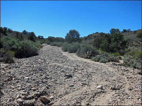 Rocks in the wash give way to gravel in the wash |
 |
 |
 Gravel in the wash gives way to sand in the wash (view NW) |
 Stay left here on old road (view NW) |
 Old road, blocked by a log, leaves the wash (view NW) |
 Route follows old road past log (view N) |
 |
 |
 Route ends at old campsite (view SW) |
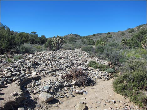
 Rock pile beyond end of old road (view SW) |
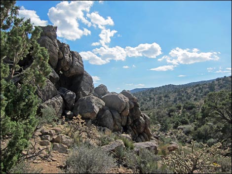 West edge of rocky knob and ascent route (view S) |
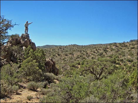 Hikers atop rock pile (view S) |
 Rocky knob (view NE towards hikers at end of old road) |
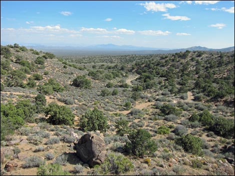 Rocky knob (view SE across Wee Thump towards Spirit Mtn) |
 Rocky knob (view S) along east edge of McCullough Mtn Range) |
 Rocky knob (view W into the mountains) |
 Rocky knob (view NW into Arizona) |
 Nearby campsite (view NE) |
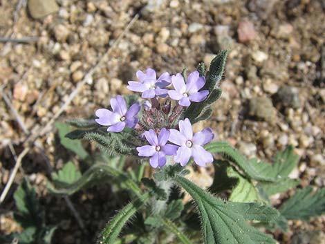 Fall-blooming flowers |
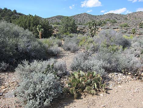 Lush desert vegetation |
 |
 |
 |
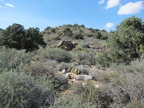 |
Table 1. Highway Coordinates Based on GPS Data (NAD27; UTM Zone 11S). Download Highway GPS Waypoints (*.gpx) file.
| Site | Location | UTM Easting | UTM Northing | Latitude (N) | Longitude (W) | Elevation (ft) | Verified |
|---|---|---|---|---|---|---|---|
| 0927 | Hwy 95 at Hwy 164, Searchlight | 688813 | 3926424 | 35.46519 | 114.91921 | 3,500 | Yes |
| 1299 | Hwy 164 at Wee Thump East Rd | 676340 | 3930808 | 35.50699 | 115.05564 | 3,960 | GPS |
| 1300 | Wee Thump East Rd at Wee Thump North Rd | 674061 | 3937257 | 35.56551 | 115.07937 | 4,375 | GPS |
| 1301 | Wee Thump West Rd at Wee Thump North Rd | 672453 | 3937265 | 35.56586 | 115.09710 | 4,560 | GPS |
| 1302 | Pine Spring Rd at Fork | 670165 | 3937004 | 35.56391 | 115.12239 | 4,913 | GPS |
| 1350 | Pine Spring Rd, South Fork Trailhead Parking | 667938 | 3936258 | 35.55756 | 115.14710 | 5,366 | GPS |
Table 2. Hiking Coordinates Based on GPS Data (NAD27; UTM Zone 11S). Download Hiking GPS Waypoints (*.gpx) file.
| Wpt. | Location | UTM Easting | UTM Northing | Elevation (ft) | Point-to-Point Distance (mi) | Cumulative Distance (mi) | Verified |
|---|---|---|---|---|---|---|---|
| 01 | Trailhead | 667936 | 3936255 | 5,376 | 0.00 | 0.00 | GPS |
| 02 | Old Road Leaves Wash | 667572 | 3936238 | 5,485 | 0.30 | 0.30 | GPS |
| 03 | Campsite | 667544 | 3936332 | 5,536 | 0.10 | 0.40 | GPS |
| 04 | Wee Thump Overlook | 667532 | 3936312 | 5,540 | 0.03 | 0.43 | GPS |
| 01 | Trailhead | 667936 | 3936255 | 5,376 | 0.43 | 0.86 | GPS |
Happy Hiking! All distances, elevations, and other facts are approximate.
![]() ; Last updated 240330
; Last updated 240330
| Hiking Around Wilderness Areas | Hiking Around Las Vegas | Glossary | Copyright, Conditions, Disclaimer | Home |