Southern Nevada Wilderness Areas, Hiking the Wilderness Areas
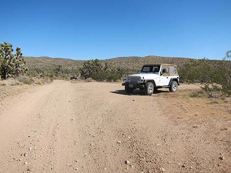 Trailhead (W-T East Rd at Paiute Valley Rd (view N) |
Overview This 4.8-mile loop route penetrates to the heart, the geographic center, of the Wee Thump Joshua Tree Wilderness Area. I didn't do any fancy geometric averaging to calculate the center, but the center-point is close enough, and who really cares anyways -- this is just an excuse to take a nice hike deep into the wild and woolly Wee Thump. To find the heart, a GPS is necessary, but a GPS is not necessary to have a nice hike. There is no trail, no use-trail, and probably no boot-prints to follow The route traverses nearly level terrain for 2.1 miles to the heart of the Wee Thump, turns north to a major wash, and follows the wash back to the road. Walking for a few minutes on the road (0.3 miles) closes the loop and returns hikers to the trailhead. Link to map. |
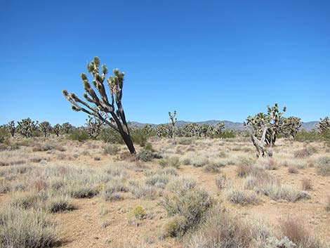
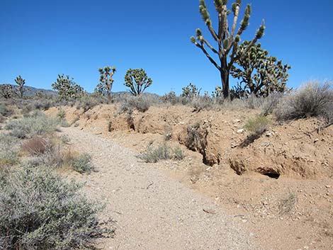
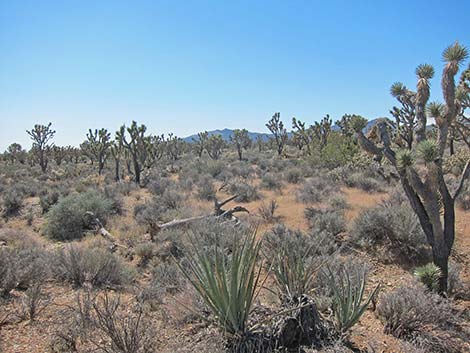
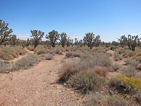
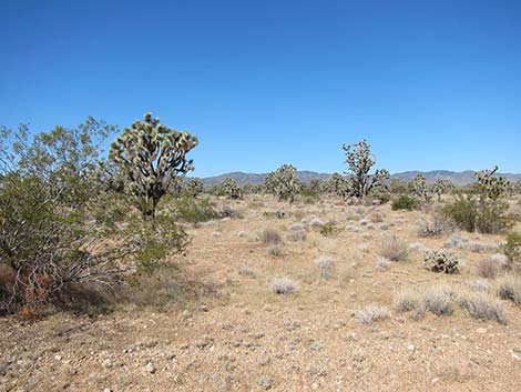 Start of the route (view WNW from trailhead) |
Watch Out Other than the standard warnings about hiking in the desert, ... this is a fairly safe hike. There are many cactus and other things with sharp points, so be careful walking around. While hiking, please respect the land and the other people out there, and try to Leave No Trace of your passage. This hike goes into Wilderness, so pay particular attention to respecting the land. This hike runs off-trail where nobody will find you, so be sure to bring the 10 Essentials. Cell phones might work, but don't count on it. |
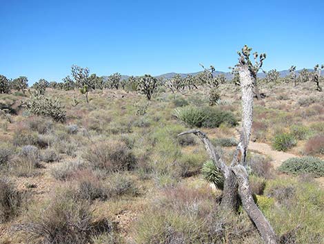
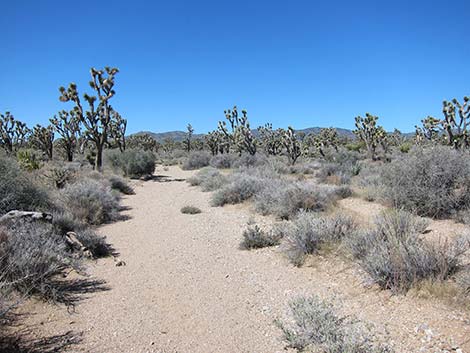
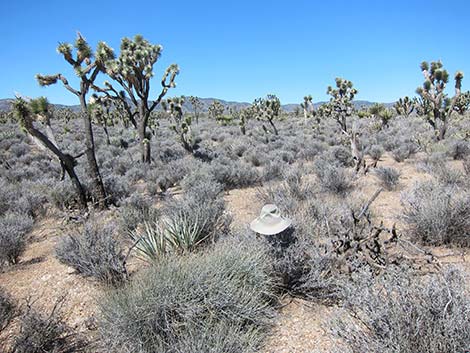
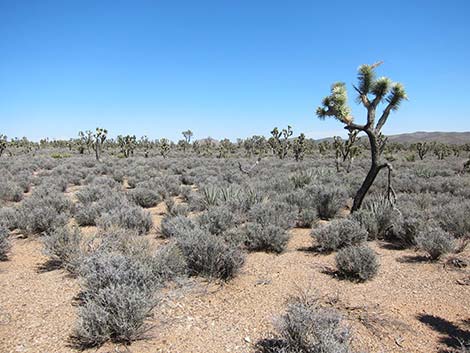
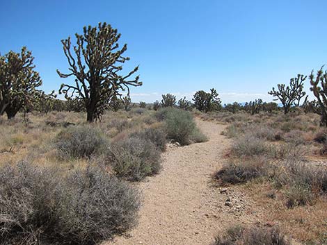
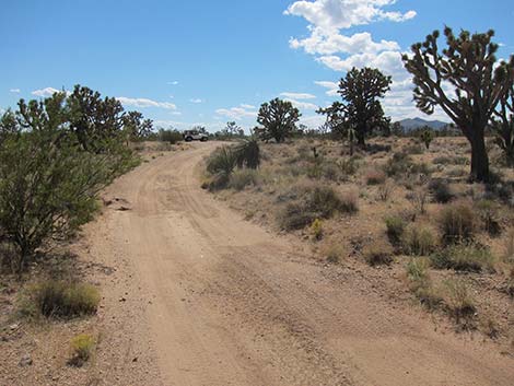
 About 100 yards out (see above photo; view WNW) |
Getting to the Trailhead This hike is located in the Wee Thump Joshua Tree Wilderness Area, about 1 hour south of Las Vegas, just west of Searchlight. From town, drive south on Highway 95 to Searchlight (Table 1, Site 0927). In downtown Searchlight, turn right onto Highway 164 (Joshua Tree Highway) and drive west for 8.2 miles to Wee Thump East Road. Turn right and drive north on Wee Thump East Road for 1.6 miles to a road intersection (Site 0946). Park here; this is the trailhead. |
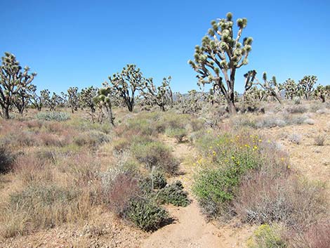
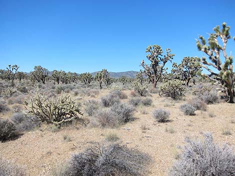
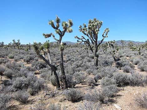
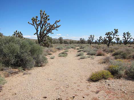
 Following the 286-degree line (view WNW) |
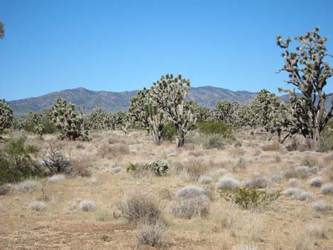
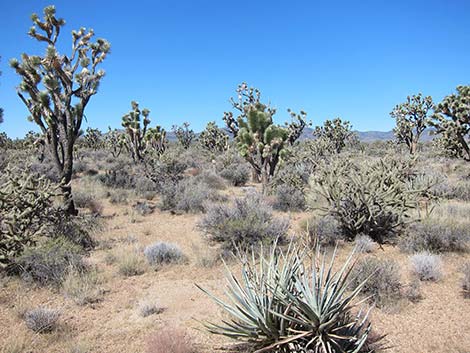
The Hike From the trailhead (Table 2, Waypoint 01), the route runs WNW (286 degrees true) for 1.94 air-miles out into the desert. After getting started, hikers will notice that a peak in the South McCullough Mountain Range lies pretty close to on-line, making for a distant landmark to hike towards. This hike lies in the Upper Sonoran (Mojave Desert Scrub) life zone, which is characterized by Joshua trees mixed with creosote bush, white bursage, lots of other shrub species, and fields of wildflowers in the spring. The area is also thick with buckhorn cholla and Mojave yucca, which make for minor hiking hazards. |
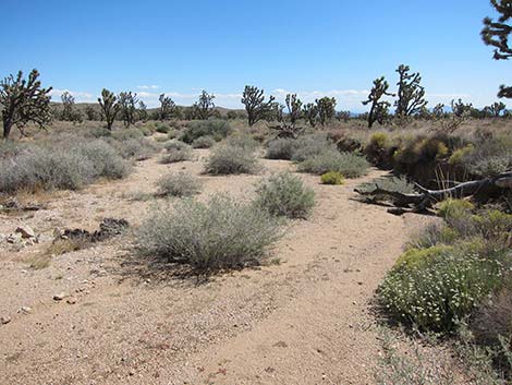
 Encountering a narrow wash (view WNW) |
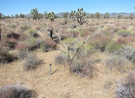
Before long (Wpt. 02), the route encounters a narrow wash where the narrow sandy track can be followed through the thick shrubs, but eventually the wash narrows, and it is easier to just walk among the shrubs. Don't expect to find trail markers, or even boot-prints from previous hikers, in the Wilderness Area. About 0.55 miles out (Wpt 03), the route encounters a USGS quarter-section marker. I don't quite know why, but benchmarks are always fun to find. Past the section marker, the vegetation begins to change. Creosote bush, white bursage, and other species drop out of the species mix, and blackbrush begins to dominate. Joshua trees, Mojave yucca, and buckhorn cholla remain common, and banana yucca joins the mix. |
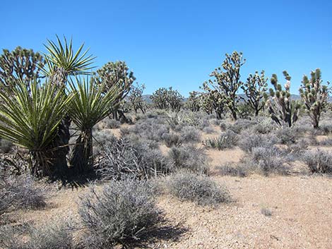
 Different shrub species along wash (view WNW) |
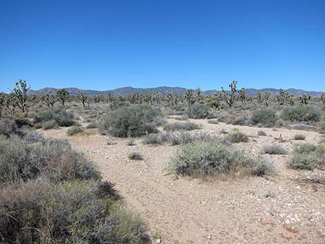
At about 0.93 miles out (Wpt. 04), the route encounters a major wash that trends in the right general direction, and the ease of walking in the open wash makes up for a bit of extra distance. In the wash, the vegetation is distinctly different. Mojave rabbitbrush, desert almond, woolly fruit bur ragweed, eastern Mojave buckwheat, and purple sage become fairly common to common. After following the wash for about 1/2 miles (Wpt. 05; 1.54 miles out), the wash pinches off and forces hikers into the open desert where sharp-stemmed blackbrush forces hikers to dance between the shrubs trying to find open spaces. |
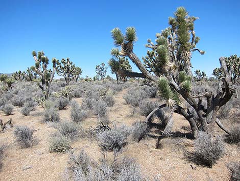
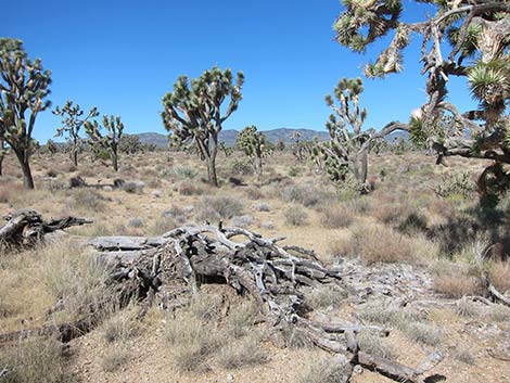 Joshua tree carcass along the route (view WNW) |
Eventually, the GPS rings and the Heart of the Wee Thump is at hand (Wpt. 06; 2.12 miles out). The heart is marked by a dense stand of blackbrush, a number of not-too-tall Joshua trees, buckhorn cholla, a few banana yucca, and specifically by a dead buckhorn cholla. Other than a certain aura of centrality, there is nothing special here: just a wilderness of silence and pristine desert. From the Heart (Wpt. 06), the loop route turns north, passes a Gilded Flicker nest that eagle-eyed birders might notice, crosses a large wash, and runs out to a major wash (Wpt. 07; 2.61 miles out), one of two major washes in the wilderness area. Turning southeast, the route follows the wash downstream. The wash is broad and firm, so the walking is easy, but the land is so flat in places that the wash diverges into braids making it hard to follow, but it always merges and continues southeast. |
 USGS quarter-corner marker on route (view WNW) |
At about 4.50 miles out, the wash hits the Wee Thump East Road (Wpt. 09) a few yards south of a side road that runs east about 0.1 miles to a quail guzzler. Turning right on Wee Thump East Road and walking south, the road winds around and eventually returns to the trailhead (Wpt. 01; 4.85 miles out). At departure, hikers might follow Paiute Valley Road east and south back to the pavement. The road is a fairly good 2WD-HC road that provides a bit of different scenery, but stay to the right at all intersections and use your own good judgment at wash crossings because conditions change after every storm. |
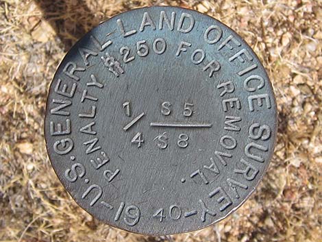 USGS quarter-corner marker |
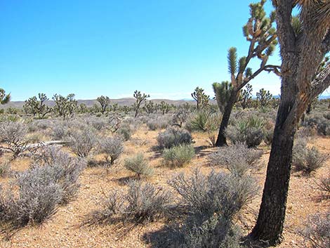
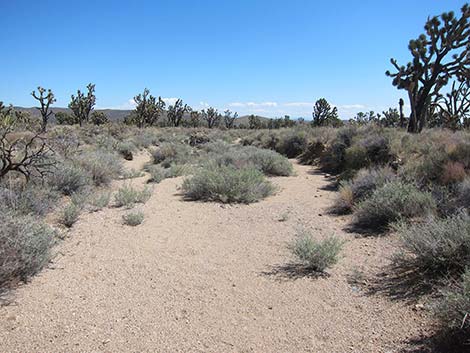
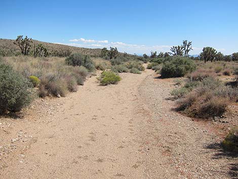
 Route (view WNW) |
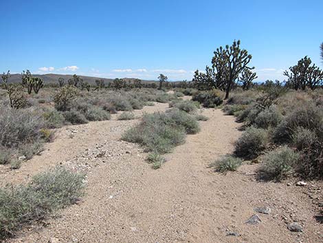
 Easy walking in the open wash (view WNW) |
 Old tortoise burrow in wash bank (view WNW) |
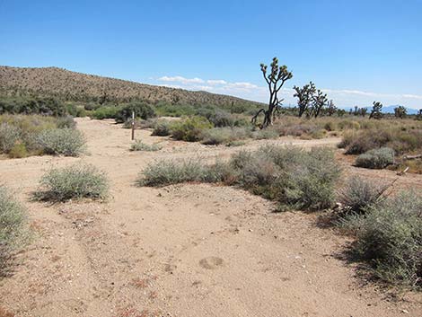
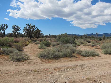
 (view WNW) (view WNW) |
 (view WNW) |
 Old Mojave yucca along the route (view WNW) |
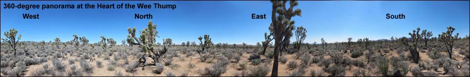
 Heart of the Wee Thump (marked by hat; view WNW) |
 Heart of the Wee Thump (view W) |
 Heart of the Wee Thump (view N) |
 Heart of the Wee Thump (view E) |
 Heart of the Wee Thump (view S) |
 Departing the Heart of the Wee Thump (view N) |
 Starting down major wash (view E) |
 Route down major wash (view SE) |
 Route down major wash (view SE) |
 |
 |
 Looking back up the wash (view NW) |
 Route down major wash (view SE) |
 Route down major wash (view SE) |
 Arriving at Wee Thump East Road (view SE) |
 Wee Thump East Road, looking back up the wash (view NW) |
 Wee Thump East Road, arriving back at trailhead (view S) |
Table 1. Highway Coordinates Based on GPS Data (NAD27; UTM Zone 11S). Download Highway GPS Waypoints (*.gpx) file.
| Site | Location | UTM Easting | UTM Northing | Latitude (N) | Longitude (W) | Elevation (ft) | Verified |
|---|---|---|---|---|---|---|---|
| 0927 | Hwy 95 at Hwy 164, Searchlight | 688813 | 3926424 | 35.46519 | 114.91921 | 3,500 | Yes |
| 0946 | Wee Thump East Rd at Paiute Valley Rd | 675896 | 3933190 | 35.52853 | 115.06002 | 4,242 | Yes |
| 1299 | Hwy 164 at Wee Thump East Rd | 676340 | 3930808 | 35.50699 | 115.05564 | 3,960 | GPS |
Table 2. Hiking Coordinates Based on GPS Data (NAD27; UTM Zone 11S). Download Hiking GPS Waypoints (*.gpx) file.
| Wpt. | Location | UTM Easting | UTM Northing | Elevation (ft) | Point-to-Point Distance (mi) | Cumulative Distance (mi) | Verified |
|---|---|---|---|---|---|---|---|
| 01 | Trailhead | 675899 | 3933184 | 4,213 | 0.00 | 0.00 | GPS |
| 02 | Narrow Wash | 675627 | 3933255 | 4,234 | 0.18 | 0.18 | GPS |
| 03 | USGS marker | 675092 | 3933389 | 4,285 | 0.37 | 0.55 | GPS |
| 04 | Large Wash | 674543 | 3933551 | 4,332 | 0.38 | 0.93 | GPS |
| 05 | Wash Ends | 673687 | 3933667 | 4,411 | 0.61 | 1.54 | GPS |
| 06 | Heart of the Wee Thump | 672893 | 3933965 | 4,494 | 0.59 | 2.13 | GPS |
| 07 | Wash | 673048 | 3934611 | 4,493 | 0.48 | 2.61 | GPS |
| 08 | Wash - Direct Route | 673762 | 3934423 | 4,412 | 0.50 | 3.11 | GPS |
| 09 | Wee Thump East Road | 675643 | 3933655 | 4,258 | 1.39 | 4.50 | GPS |
| 01 | Trailhead | 675899 | 3933184 | 4,213 | 0.35 | 4.85 | GPS |
| . | Alternate Route - Requires High-clearance Vehicle |
. | . | . | . | . | . |
| 01 | Trailhead | 675899 | 3933184 | 4,213 | 0.00 | 0.00 | GPS |
| 08 | Wash - Direct Route | 673762 | 3934423 | 4,412 | 0.83 | 0.83 | GPS |
| 10 | Trailhead - Direct Route | 674903 | 3935065 | 4,310 | 0.65 | 1.48 | GPS |
| 01 | Trailhead | 675899 | 3933184 | 4,213 | 1.48 | 2.96 | GPS |
Happy Hiking! All distances, elevations, and other facts are approximate.
![]() ; Last updated 240330
; Last updated 240330
| Hiking Around Wilderness Areas | Hiking Around Las Vegas | Glossary | Copyright, Conditions, Disclaimer | Home |