Hiking Southern Nevada Wilderness Areas, Backroads
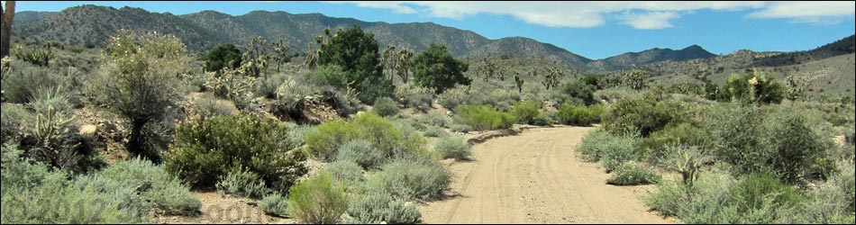
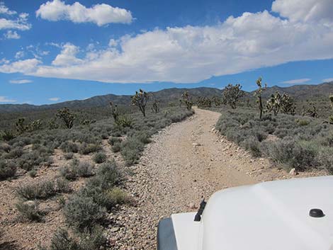
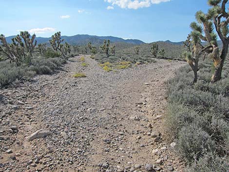
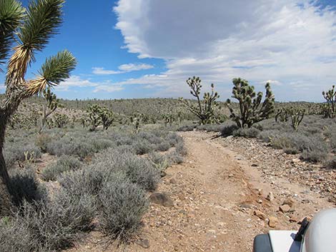
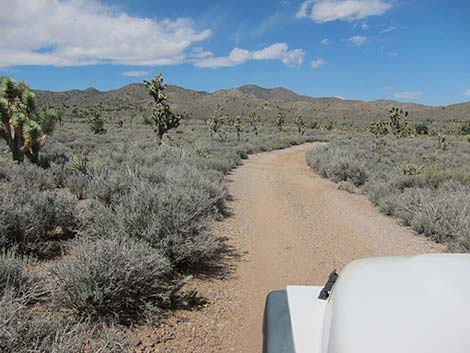
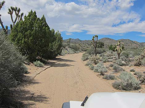
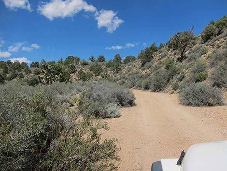
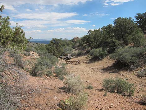
 Pine Spring Road at the intersection of Wee Thump West Road and Wee Thump North Road (view W) |
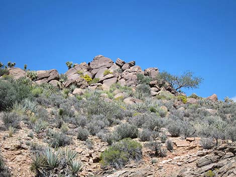
Overview Pine Spring Road is a 4.6-mile dirt road that runs west from the northwest corner of the Wee Thump Joshua Tree Wilderness Area to the southeast edge of the South McCullough Wilderness Area. Pine Spring Road forks about 1.5 miles out, the north fork (Pine Spring Road, proper) runs out to Pine Spring, while the south fork runs another 1.5 miles to a trailhead at the edge of the wilderness area. Pine Spring Road provides sightseeing, hunting, hiking, and camping opportunities in the wild and remote region between these two wilderness areas, plus hiking and hunting opportunities inside the wilderness area. The road is in fairly good condition overall, but it is rough in several places. Assuming good weather, the road is suitable for experienced drivers of 2WD high-clearance (2WD-HC) vehicles, but there can be soft sand, so 4WD would be safer. Link to map. |
 |
Watch Out Other than the standard warnings about the desert ... Pine Spring Road generally is a good road, but it gets a bit sandy, and it runs out into wild and remote country. There are no services or developments of any kind. Cell phones might work, but don't count on it. Bring water and food, a good spare tire, a shovel, tools, a tow rope, bailing wire, and anything you might need to survive a night stuck out in the desert. While hiking, please respect the land and the other people out there, and try to Leave No Trace of your passage. This road runs along Wilderness, so pay particular attention to respecting the land. Be sure to bring the 10 Essentials. For ATVs, spark arresters are required on roads in this area. |
 |
Getting to the Roadhead This road lies between the Wee Thump Joshua Tree Wilderness Area and the South McCullough Wilderness Area, about 1-1/2 hours south of Las Vegas and west of Searchlight. From town, drive south on Highway 95 to Searchlight (Table 1, Site 0927). In downtown Searchlight, turn right onto Highway 164 (Joshua Tree Highway) and drive west for 8.2 miles to Wee Thump East Road (Site 1007). In at least a 2WD-HC vehicle, drive north on Wee Thump East Road for 4.5 miles to Wee Thump North Road (Site 1300). Turn left onto Wee Thump North Road and drive west for 1.1 miles to Wee Thump West Road (Site 1301). Pine Spring Road continues straight across the intersection to the west. |
 |
Alternatively, from town, drive south on Interstate-15 for about 53 miles to Nipton Road (Site 1008) in California. Exit the Interstate and drive east, through Nipton, and back into Nevada. From the Nevada state line, continue east another 5.4 miles to Wee Thump West Road (Site 1305). In at least a 2WD-HC vehicle, drive north on Wee Thump West Road for 5 miles to a 4-way intersection (Site 1301). Wee Thump North Road runs to the right (east), while Pine Spring Road runs to the left (west). |
 |
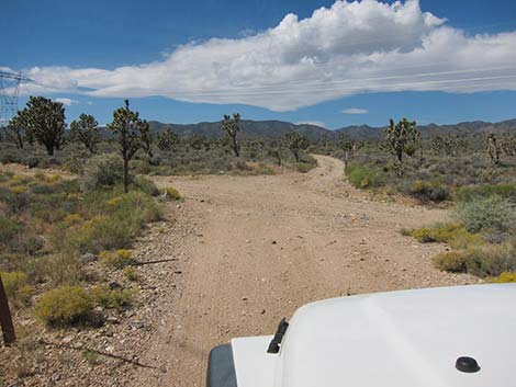
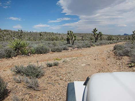
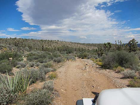
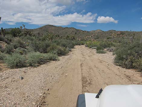
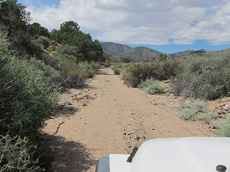
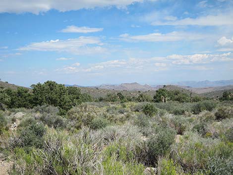
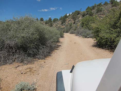
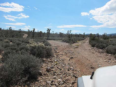
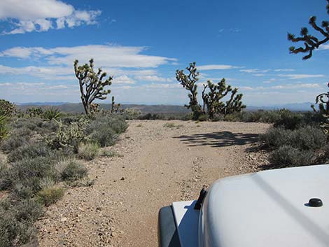
The Road From the 4-way intersection (Site 1301), Pine Spring Road runs west climbing towards the foothills of the South McCullough Range. The road is a bit rough in places, but the roadbed is firm and passable in a 2WD-HC vehicle. The landscape in this area grows thick with blackbrush and Joshua trees. The road climbs gradually onto a broad ridgetop with grand views in all directions. At about 1.0 miles out, the road forks. The road to right quickly forks again, but all three roads converge at about 1.1 miles out. Staying left on the main road is a fine way to go. There are no campsites or other attractions on the roads to the right. |
 |
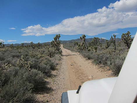
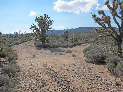
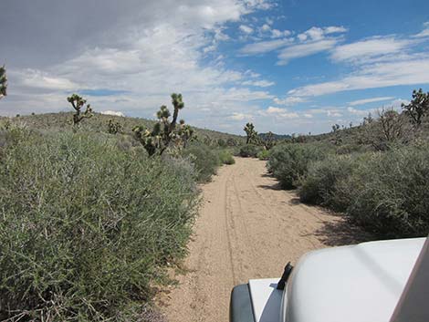
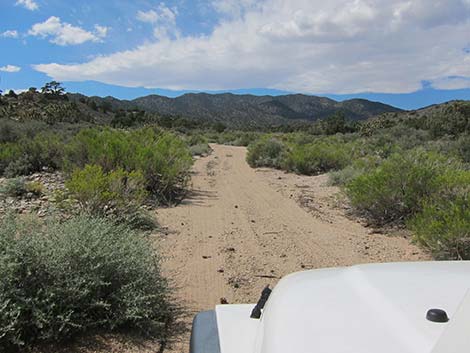
At about 1.5 miles out, the road forks. Pine Spring Road runs to the right and descends steeply off the ridgetop. The road to the left (South Fork of Pine Spring Road) continues up the ridgeline, forking again in about 0.1 miles. The second road to the right runs more gently down a gully to connect with Pine Spring Road, while the South Fork of Pine Spring Road runs southwest out to a primitive campsite and a trailhead at the edge of the South McCullough Wilderness Area. On Pine Spring Road, use either of the right turns to descend in a canyon leading northeast. The road in this area is rocky and a bit washed out. At the base of a hill, the road curves to the northwest and runs up a sandy wash. |
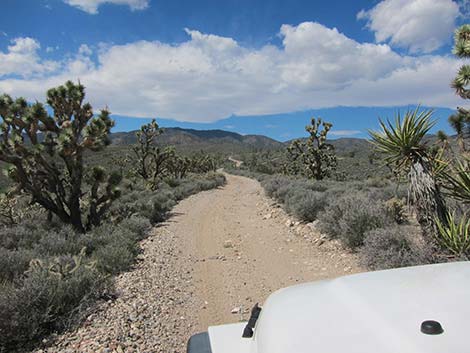
 Pine Spring Road curves to the right (view W) |
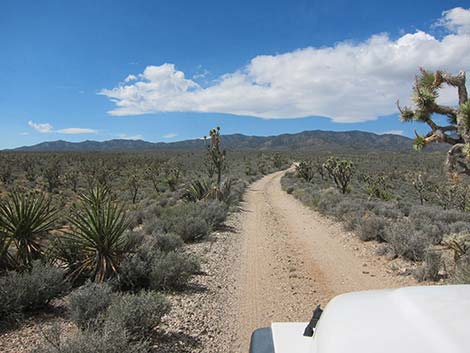
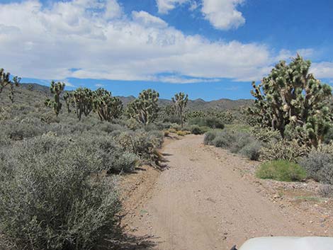
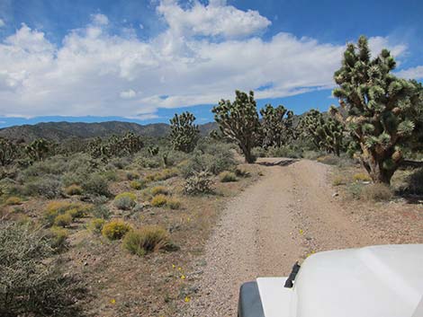
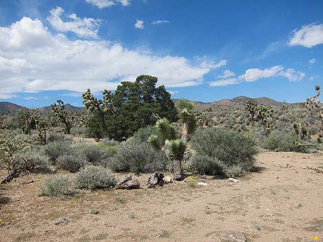
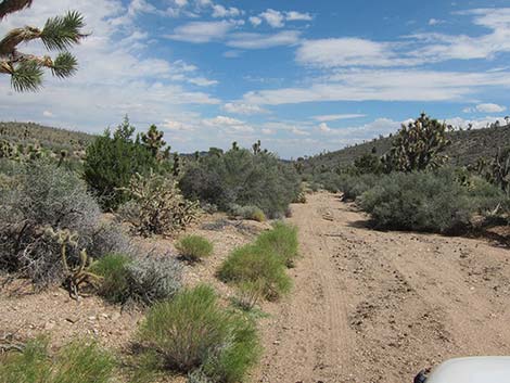
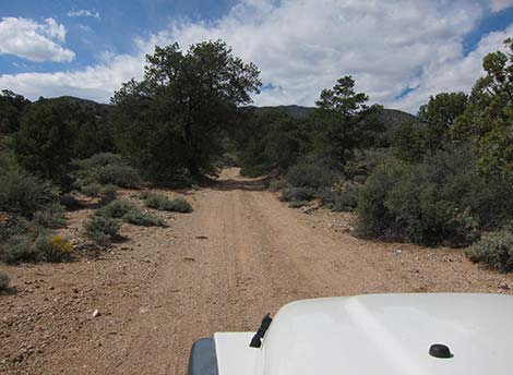
The road runs up over a low saddle, then starts down another sandy wash heading northeast on the far side of the hill. There is a campsite under a large singleleaf pinyon pine on the left not far below the low saddle (2.2 miles out). When I've driven this road, the worst sand has been in the area, especially when trying to back out (uphill in soft sand). The road eventually joins Pine Spring Wash (2.5 miles out) and turns upstream to the northwest. While this wash is larger, the sand here seems more firm than in the previous narrow wash. The road runs northwest, then curves to run more to the west climbing towards the mountains. Eventually, the wash narrows into a canyon, singleleaf pinyon pine and Utah juniper appear and then become thick, and the road passes several campsites. |
 Close-up Pine Spring Rd curves right (view W) |
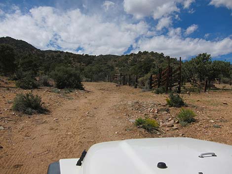
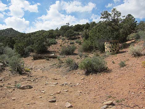
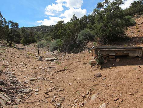
At about 4.25 miles out, the road passes an outcrop of quartzite and a brush-free place to park on the north side of the road. Perhaps best found using GPS coordinates, this is the trailhead for the McCullough Mountain Washes Route. At about 4.5 miles out, the road reaches Pine Spring Corral, an historic corral built to support cattle ranching in this area. The corral remains in fairly good condition, and water still flows into the watering trough. At 4.6 miles out, the road reaches Pine Spring and the end of the road. The area is a bit worse for wear from feral cows, and the watering trough and water tank are dry. A damp area marks the spring in a gully above the water tank. Watch for carsonite signs that mark the boundary of the wilderness area. This is the trailhead for the McCullough Mountain Ridges Route. |
 Gentler Pine Spring Road curves to the right (view W) |
 Continuing down steeper Pine Spring Road (view NW) |
 Steeper Pine Spring Road at Gentler Pine Spring Road (view NW) |
 Continuing on Pine Spring Road (view N) |
 |
 |
 |
 |
 There is a campsite under the pinyon pine |
 Worst of the soft sand |
 |
 |
 |
 |
 |
 |
 |
 |
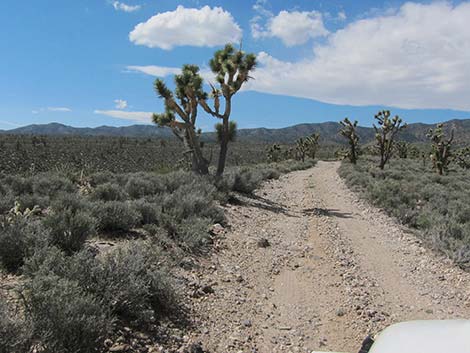
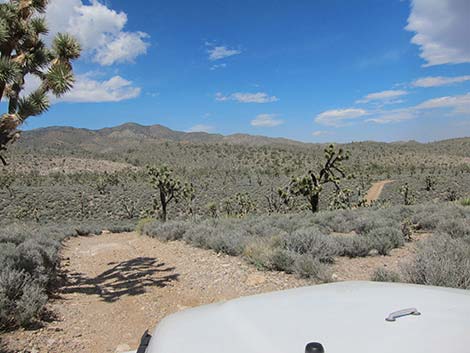
 Scenery along the road (view NE) |
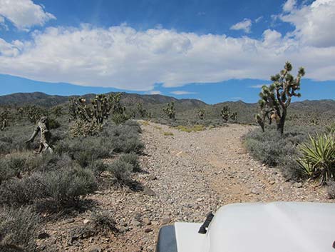
 Scenery along the road (view N) |
 Trailhead for the McCullough Mtn Washes Route (view NW, 2002) |
 Trailhead for the McCullough Mtn Washes Route (view NW, 2012) |
 Road in Pine Spring Wash (view W) |
 Road in Pine Spring Wash (view W) |
 Pine Spring Corral (view W) |
 Pine Spring just beyond the end of the road (view W) |
 Pine Spring watering trough and wilderness boundary sign |
 Pine Spring Trailhead Parking |
 Two options when exiting the area (view S) |
 Pine Spring Rd at South Fork of Pine Spring Rd (view S) |
Table 1. Highway Coordinates Based on GPS Data (NAD27; UTM Zone 11S). Download Highway GPS Waypoints (*.gpx) file.
| Site | Location | UTM Easting | UTM Northing | Latitude (N) | Longitude (W) | Elevation (ft) | Verified |
|---|---|---|---|---|---|---|---|
| 0927 | Hwy 95 at Hwy 164, Searchlight | 688813 | 3926424 | 35.46519 | 114.91921 | 3,500 | Yes |
| 1008 | I-15 at Nipton Rd | 640822 | 3926437 | 35.47327 | 115.44788 | 3,432 | Yes |
| 1299 | Hwy 164 at Wee Thump East Rd | 676352 | 3930785 | 35.50678 | 115.05551 | 3,960 | GPS |
| 1300 | Wee Thump East Rd at Wee Thump North Rd | 674061 | 3937257 | 35.56551 | 115.07937 | 4,375 | GPS |
| 1301 | Wee Thump West Rd at Wee Thump North Rd | 672453 | 3937265 | 35.56586 | 115.09710 | 4,560 | GPS |
| 1302 | Pine Spring Rd at Fork | 670165 | 3937004 | 35.56391 | 115.12239 | 4,913 | GPS |
| 1303 | Pine Spring Rd Trailhead | 667728 | 3937954 | 35.57289 | 115.14907 | 5,294 | GPS |
| 1304 | Pine Spring | 667173 | 3937981 | 35.57322 | 115.15519 | 5,429 | GPS |
| 1305 | Hwy 164 at Wee Thump West Rd | 668839 | 3930740 | 35.50768 | 115.13832 | 4,795 | GPS |
| 1350 | Pine Spring Rd, South Fork Trailhead Parking | 667938 | 3936258 | 35.55756 | 115.14710 | 5,366 | GPS |
Happy Hiking! All distances, elevations, and other facts are approximate.
![]() ; Last updated 240330
; Last updated 240330
| Hiking Around Wilderness Areas | Hiking Around Las Vegas | Glossary | Copyright, Conditions, Disclaimer | Home |