Backroads Around Las Vegas
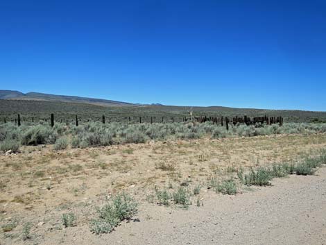
 Highway 93 approaching turn to Elgin (Kane Springs Road; view N) |
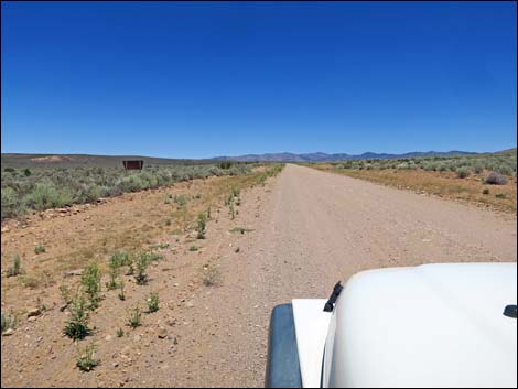
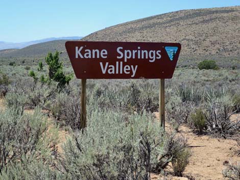
Overview Kane Springs Road (eastbound) runs 37.1 miles between U.S. Highway 93 on the southwest end to Highway 317 on the northeast end in Meadow Valley Wash and the village of Elgin. Except near the start and end, Kane Springs Road stretches nearly straight and level down the center of Kane Springs Valley, which is entirely wild except for a few cattle guards, a couple of signs, and an old corral or two. Kane Springs Road provides access to grand, wide-open scenery bordered by volcanic mountain ranges, OHV trails, campsites, backroad adventures, and trailheads for hikes in the Delamar Mountains Wilderness Area (north of the road) and Clover Mountains Wilderness Areas (south of the road). Driving loops can be made by heading north on Highway 317 to Highway 93 or heading south on Carp-Elgin Road to I-15. Gas, food, and supplies are available in Apex (Hwy 95 at I-15) and Caliente, but not along Kane Springs Road, Highway 317, or the Carp-Elgin Road. Link to map. |
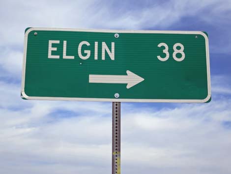 Highway sign (view N) |
Watch Out Other than the standard warnings about driving in the desert, ... this road is pretty safe, but it is subject to washouts. Under normal conditions, most of the road can be driven at 45 mph. The road gets little use, but always be careful on blind corners and hilltops because the guy coming the other way assumes "the road gets little use" too. Be sure that your vehicle is in good working condition, carry plenty of water, and pack a few snacks. Always drive carefully using your own good judgment. While out, please respect the land and the other people out there, and try to Leave No Trace of your passage. This road goes into remote areas, so be sure to bring the 10 Essentials. Cell phones don't work. |
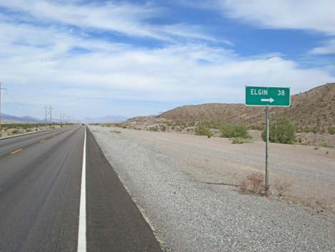
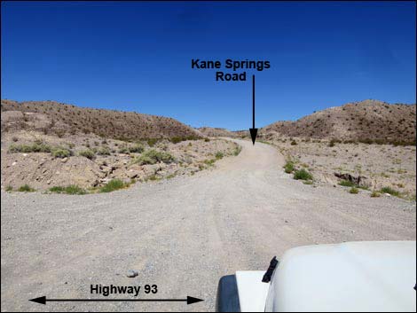
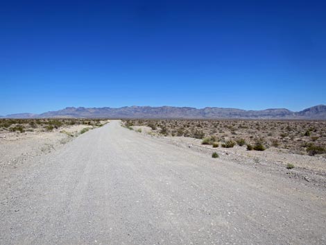
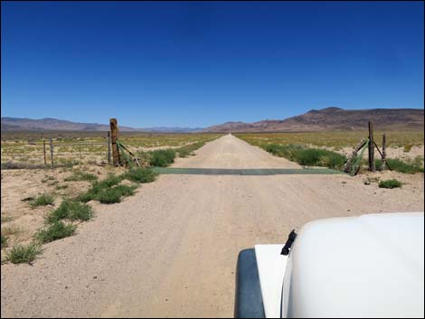
 Highway 93 at Kane Springs Road (view NE) |
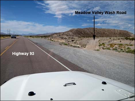
Getting to the Road Kane Springs Road is located near the south edge of Lincoln County. Eastbound, the road begins on Highway 93 between Alamo and Apex (north of Coyote Springs). From Las Vegas, drive north on Interstate-15 to Highway 93. Drive north on Highway 93 for 31 miles to Highway 168 (east to Moapa), then continue north another 11 miles (42 miles total) to Kane Springs Road on the right. Watch for a sign for the village of Elgin. |
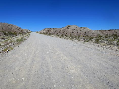
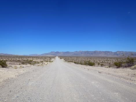
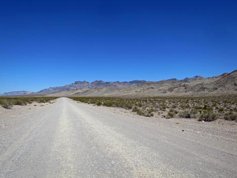
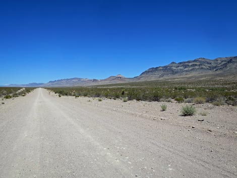
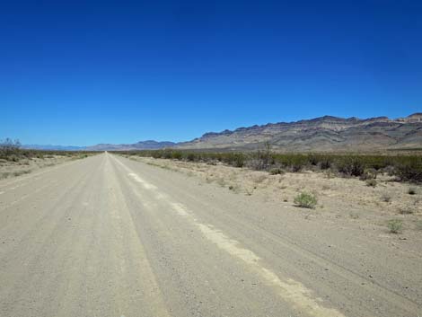
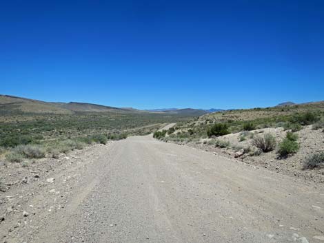
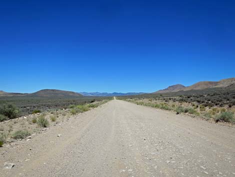
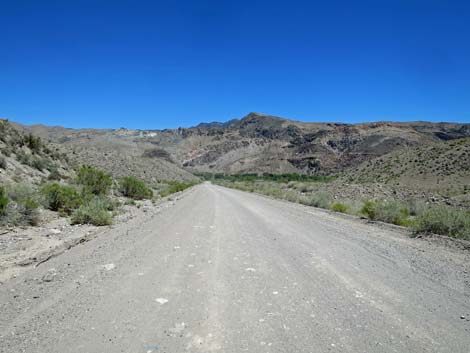
 Kane Springs Road (view NE) |
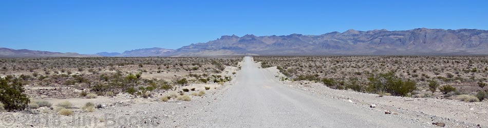
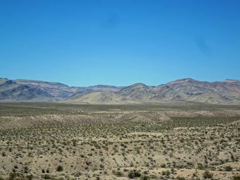
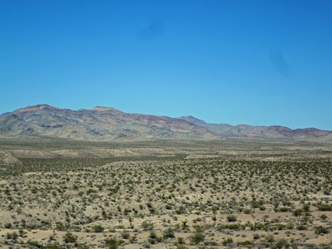
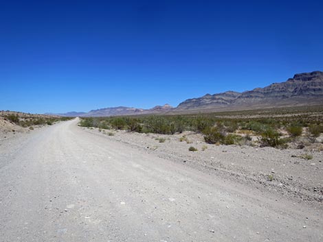
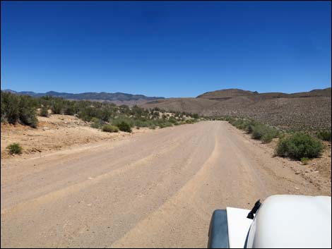
The Road From Highway 93 (Table 1, Site 1549), Kane Springs Road heads northeast as it climbs a canyon leading out of Coyote Springs Valley. By about 0.6 miles out, the road levels out with grand views northeast through Kane Springs Valley. To the north, the Delamar Mountains stand dark and tall, and to the south, the Meadow Valley Range runs into the far distance. The road runs easy, and at about 5.2 miles out, arrives at an information kiosk on the left. Here, signs provide information about wilderness areas in the area, and about the Delamar Mountains Wilderness Area in particular. For the next 7.4 miles, everything north of the road is in the wilderness area. South of the road, the mountain range, but not the valley bottom, is in the Meadow Valley Range Wilderness. |
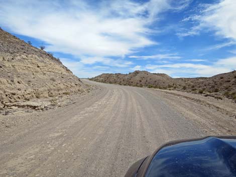
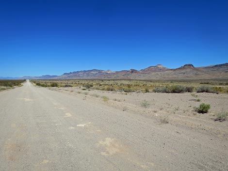
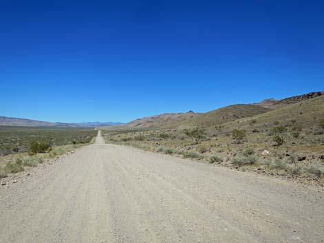
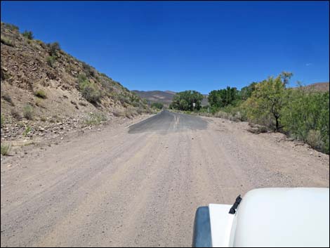
 Kane Springs Road starts up a moderate slope (view NE) |
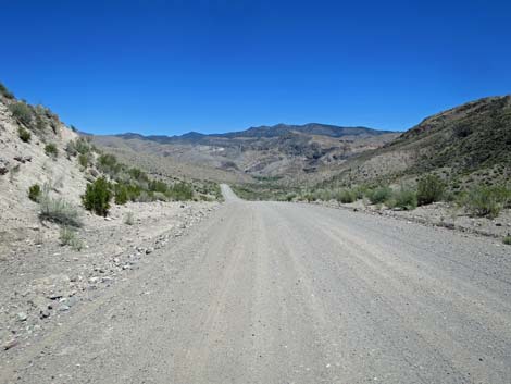
At about 12.7 miles out, the edge of the Delamar Mountains Wilderness Area pulls away from the road (following a side road) to more closely follow the base of the mountains. At what seems like "just ahead," at about 14.0 miles out, a two-track road right (Sunflower Road) leads to the Sunflower Mountain trailhead at the edge of the Meadow Valley Range Wilderness. Continuing northeast, at about 22 miles out, the edge of the Delamar Mountains Wilderness Area turns north over the mountains, marking the east end of the wilderness area. The road continues -- surprise -- with a few curves, and at about 32.1 miles out, arrives at another information kiosk. Here, information is presented about the four wilderness areas in the region. A side road cuts south from here and more-or-less marks the east end of the Meadow Valley Range Wilderness. After climbing gradually through Kane Springs Valley for about 33.8 miles, the road begins a descent into Meadow Valley Wash, winding down and ending in Elgin where the pavement of Highway 317 begins (Site 1838). |
 |
 |
 |
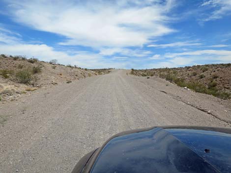
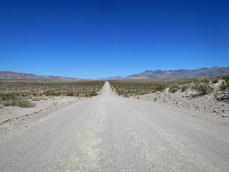
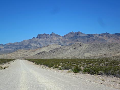
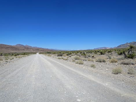
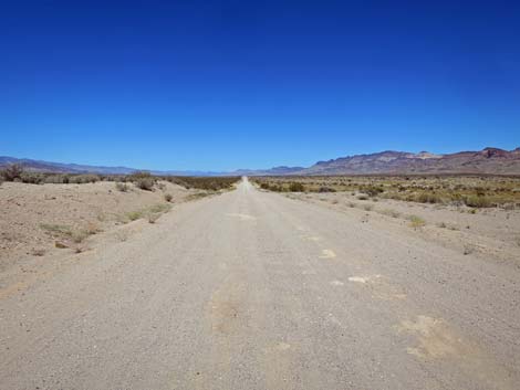
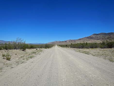
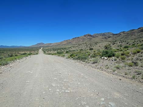
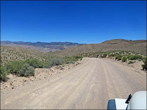
 Typical Kane Springs Road: wide, straight, and smooth (view NE) |
 |
 |
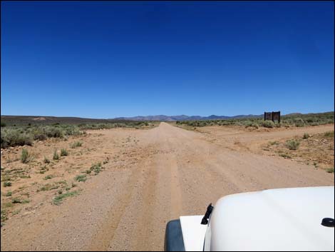
 Approaching wilderness areas information signs (view NE) |
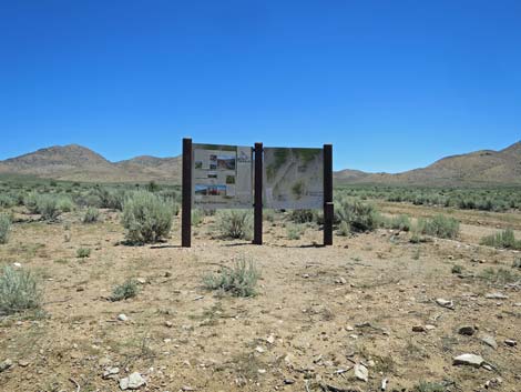
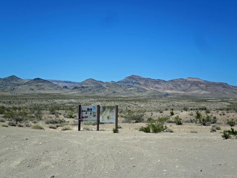 Wilderness areas information parking area (view NE) |
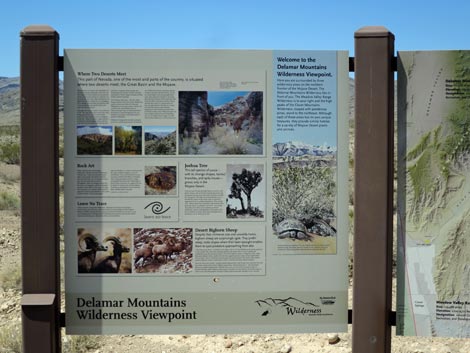 Delamar Mountains Wilderness Area sign (view NE) |
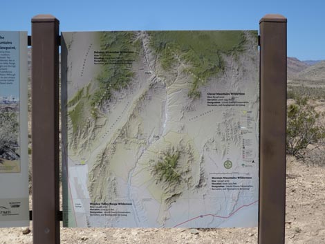 Regional wilderness areas information sign (view NE) |
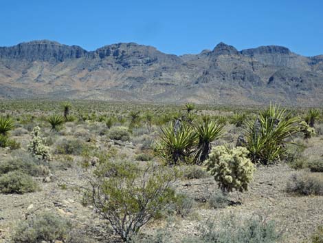
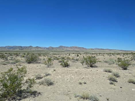 Delamar Mountains Wilderness Area (view N) |
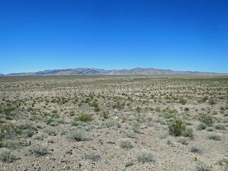 Delamar Mountains Wilderness Area (view N) |
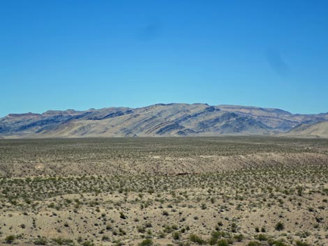 Delamar Mountains Wilderness Area (view N) |
 Delamar Mountains Wilderness Area (view N) |
 Delamar Mountains Wilderness Area (view N) |
 Delamar Mountains Wilderness Area (view N) |
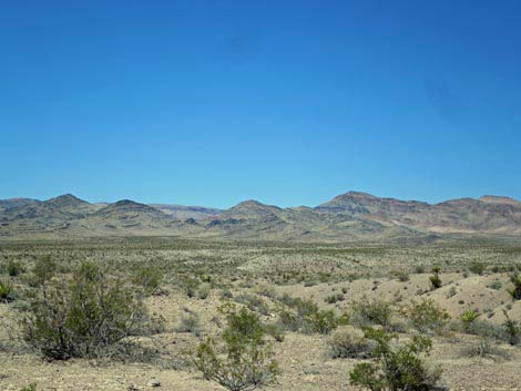
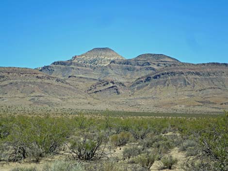
 Meadow Valley Range Wilderness Area (view E) |
 Meadow Valley Range Wilderness Area in the distance (view SE) |
 Sunflower Mountain in Meadow Valley Range Wilderness (view SE) |
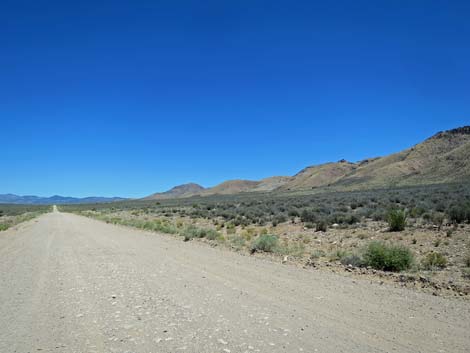
 Long, straight, smooth road (view NE) |
 Kane Springs Road (view NE) |
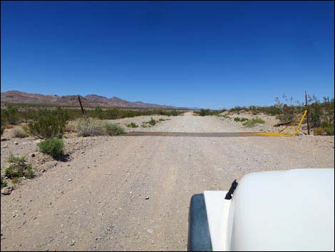 Cattle guard (view NE) |
 |
 |
 |
 |
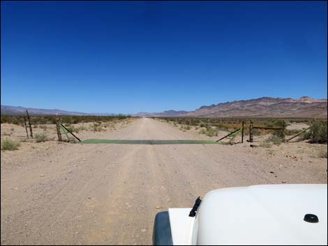 Cattle guard (view NE) |
 Kane Springs Road (view NE) |
 Cattle guard (view NE) |
 Kane Springs Road (view NE) |
 |
 |
 Kane Springs Road (view NE) |
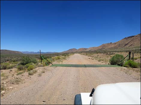 Cattle guard (view NE) |
 |
 |
 Approaching wilderness areas information signs (view NE) |
 Wilderness areas information sign (view E) |
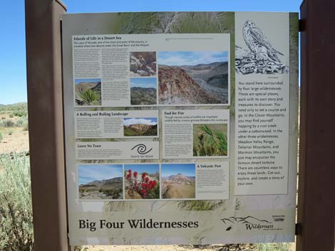 Information sign about four wilderness areas (view NE) |
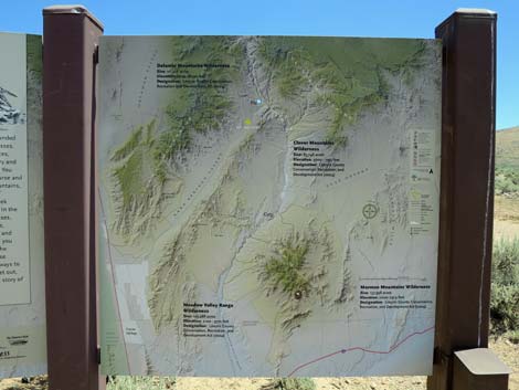 Regional wilderness areas information sign (view E) |
 Approaching back-side sign on the left (view NE) |
 Looking back at Kane Springs Valley sigh (view W) |
 Cattle guard (view NE) |
 Historic corral (view N) |
 Beginning descent into Meadow Valley Wash (view NE) |
 Descending into Meadow Valley Wash (view NE) |
 |
 |
 End of dirt Kane Springs Road, start of paved Highway 317 |
 Highway 317 (view N) |
Table 1. Highway Coordinates based on GPS Data (NAD27; UTM Zone 11S). Download Highway GPS waypoints (gpx) file.
| Wpt. | Location | Latitude (N) | Longitude (W) | Elevation (ft) | Point-to-Point Distance (mi) | Cumulative Distance (mi) |
|---|---|---|---|---|---|---|
| 1549 | Highway 93 at Kane Spring Road | 36.96162 | 114.97425 | 2,547 | 00.0 | 00.0 |
| 1839 | Kane Springs Road at Sunflower Mountain Road | 37.08808 | 114.78513 | 3,114 | 14.0 | 14.0 |
| 1838 | Kane Springs Road at Highway 317 | 37.34398 | 114.52941 | 3,403 | 23.1 | 37.1 |
Happy Hiking! All distances, elevations, and other facts are approximate.
![]() ; Last updated 240331
; Last updated 240331
| Backroads | Hiking Around Las Vegas | Glossary | Copyright, Conditions, Disclaimer | Home |