
Birding Around Las Vegas, Favorite Places Far Away

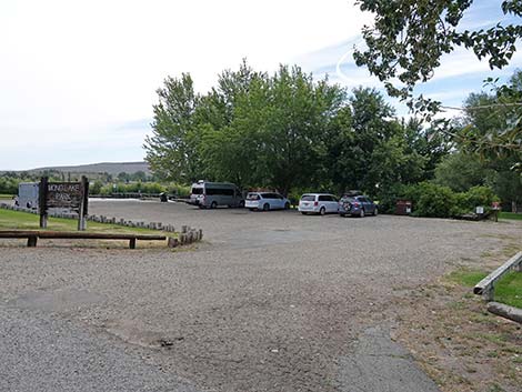 Mono Lake Park parking lot (view SE from Cemetery Road) |
Overview Mono Lake, located along the east side of the Sierra Nevada Mountain Range, and perhaps better known for the tufa towers and western water wars, provides salty habitat for billions of alkali flies and brine shrimp. The flies and shrimp, in turn, are food for many thousands of grebes, ducks, gulls, shorebirds, and other species, some 300 species and millions of individuals in all. Each spring, about 50,000 California Gulls breed on the big island in the lake, and about 400 endangered Snowy Plovers nest on the alkali flats on the northeast shore. In mid-summer, thousands of Wilson's Phalaropes and Red-necked Phalaropes stop during the migration south to fatten up; and in the fall, nearly two million Eared Grebes join the food fest. Ducks, geese, and Tundra Swans also stop over during migration. All of these birds provide for good birding. Link to Mono Lake Area Map or Boardwalk Trail Map. |
 Mono Lake Park sign at the entrance (view SE) |
Description Mono Lake sits in an enclosed basin with no natural outflows, and as a result, the water is salty. Because the water is salty, there is no riparian fringe on the lake except where streams flow in. A small stream flows through the County Park and supports tall cottonwood, willow, and other trees, plus shrubs. At the shoreline, the stream supports a bit of a freshwater marsh. Above the lake, the dominant plant in this high-elevation desert is sagebrush, and there are pines in the mountains surrounding the lake. The Mono Lake County Park, located on the northwest side of the lake, has an easy trail and boardwalk that runs down through cottonwoods and willows to a marsh at the edge of the lake (with more tufa towers). Dogs and bikes are not allowed on the boardwalk trail. |
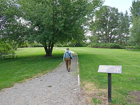 Past toilets, birder starting on gravel trail towards lake (view S) |
This is an area with mixed jurisdiction. The County Park is located on lands above the 1941 lake level, which here are owned by the City of Las Angeles and leased to Mono County for the park. The county is responsible for maintaining the area and cleaning the restrooms. Below the 1941 lake level, the land is owned by California and is a state park. From the end of the boardwalk, birders can see phalaropes, waterfowl, and grebes feeding in the water, and shorebirds feeding on the little delta at the edge of the lake. The cottonwoods and grassy areas in the park, proper, also make for good birding (watch for flycatchers, tanagers, and warblers). Wilson's Snipe breed in the wet meadows, and Red-Winged Blackbird, Song Sparrow, Common Yellowthroat, Killdeer, Snowy Egret, and Green Heron are common. |
 Don't step on the little people (Lorquin's Admiral Butterfly) |
Location Mono Lake is located east of Highway 395, just east of Lee Vining, California. The Mono Basin Scenic Area Visitor Center is located about 0.25 miles north of Lee Vining on the east side of the road. Watch for signs on the highway. The Mono Lake County Park is located about five miles north of Lee Vining, just off Highway 395. Turn east onto Cemetery Road, and then follow it for 0.3 miles to the County Park. The parking area is adjacent to Cemetery Road. Hours The lake is always open, but the park and boardwalk should be considered day-use only. |
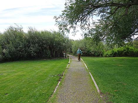 Gravel trail exits county park and enters state park lands (view S) |
Fees The county park is free. Specialties California Gulls, Snowy Plovers, Wilson's Phalaropes, Red-necked Phalaropes, Osprey, and Eared Grebes. Many species of waterbirds and shorebirds; raptors. For More Information Visit, call, or write the Mono Basin Scenic Area Visitor Center; P.O. Box 429; Lee Vining, CA 93541; 760-647-3044. The Visitor Center has information on the geology, ecology, and human history of the area. The visitor center is located 0.25 miles north of Lee Vining. |
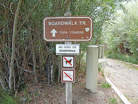 Sign at the edge of the willow thicket (view S) |
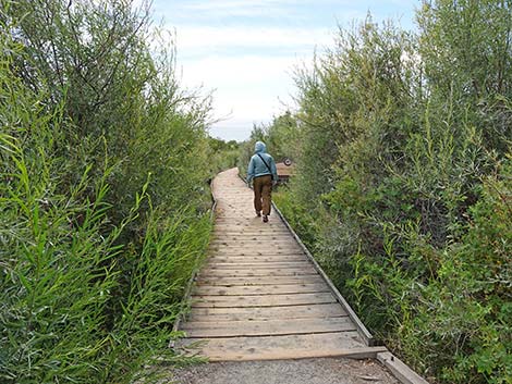 Birder starting on boardwalk (view S) |
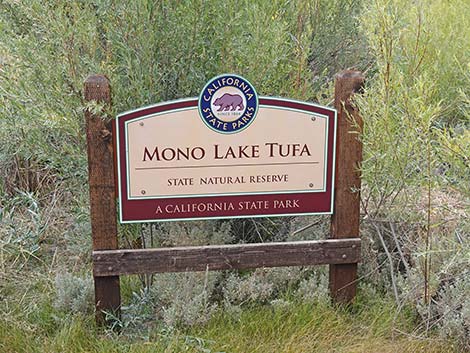 State park area boundary sign (view S) |
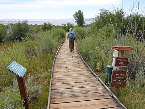 Sign-in sheet and information signs (view S) |
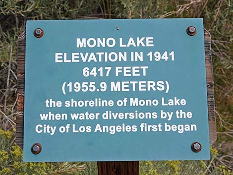 Sign: Lake level in 1941 with water diversions began (view E) |
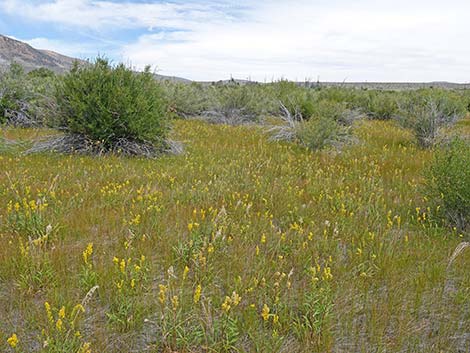 Flowers among the shrubs (view SE) |
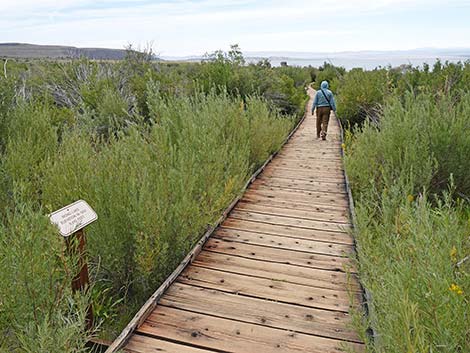 Another sign along the boardwalk (view S) |
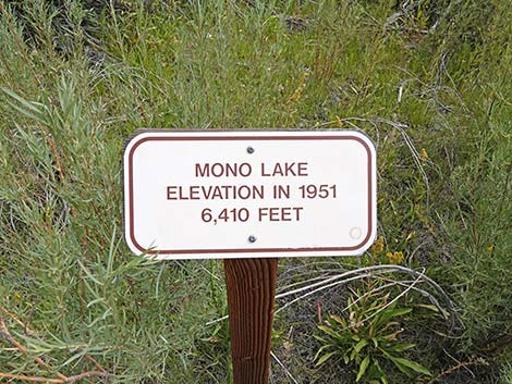 Sign: Lake level in 1951 (view E) |
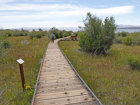 Yet another sign along the boardwalk (view S) |
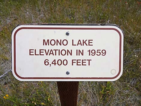 Sign: Lake level in 1959 (view E) |
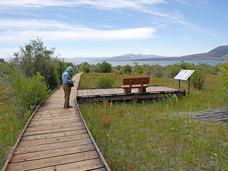 Birder inspecting the marsh vegetation (view S) |
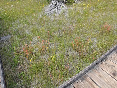 Two species of orchids and lots of other forbs (view NW) |
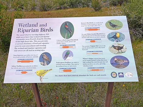 Sign: Wetlands and Riparian Birds (view W) |
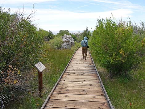 Still another sign along the boardwalk (view S) |
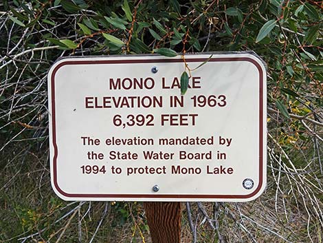 Sign: Lake level in 1963 when mandates were imposed (view E) |
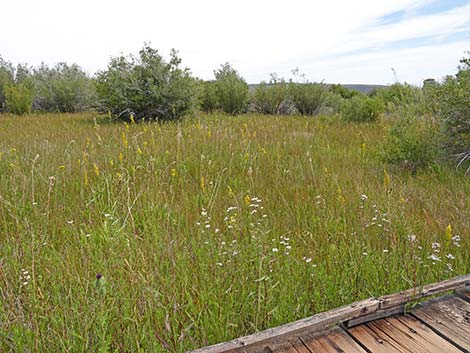 Shrubs and forbs below the mandated water level (view SE) |
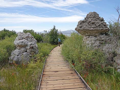 Tufa towers along the boardwalk (view S) |
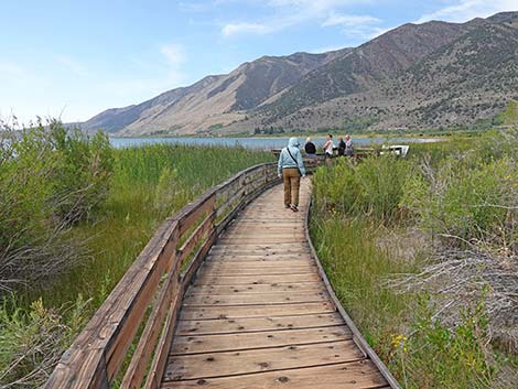 Mono Lake comes into view from the boardwalk (view S) |
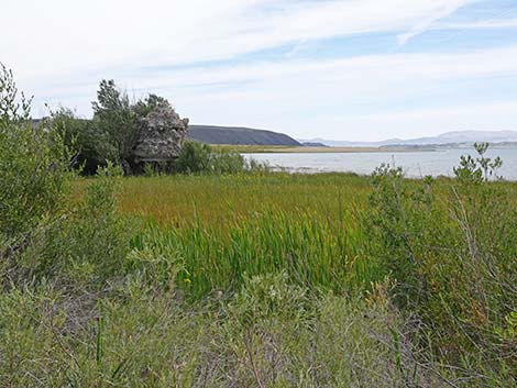 Freshwater Marsh and salty Mono Lake (view SE) |
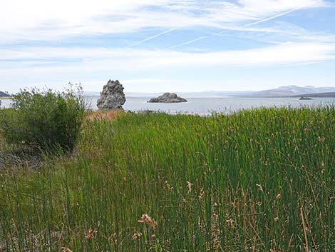 Freshwater Marsh and salty Mono Lake (view SSE) |
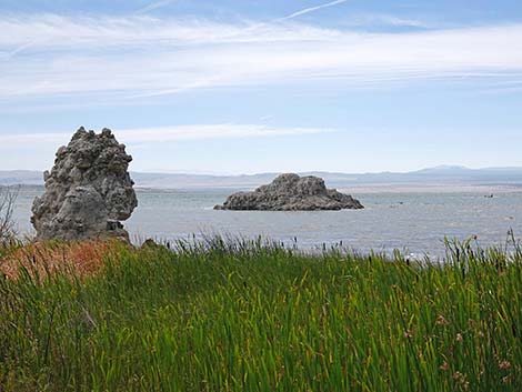 Freshwater Marsh and salty Mono Lake (view S) |
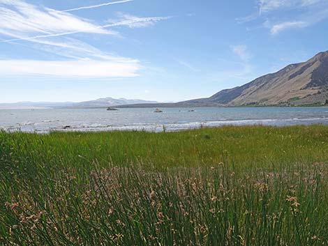 Freshwater Marsh and salty Mono Lake (view SSW) |
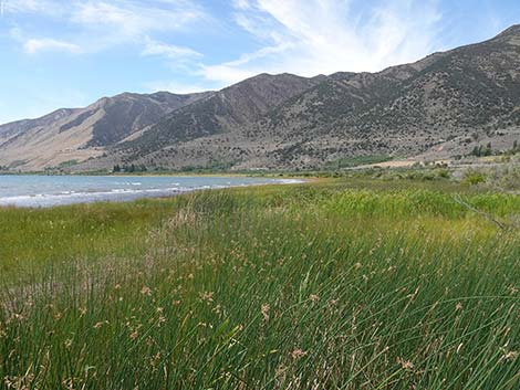 Freshwater Marsh and salty Mono Lake (view SW) |
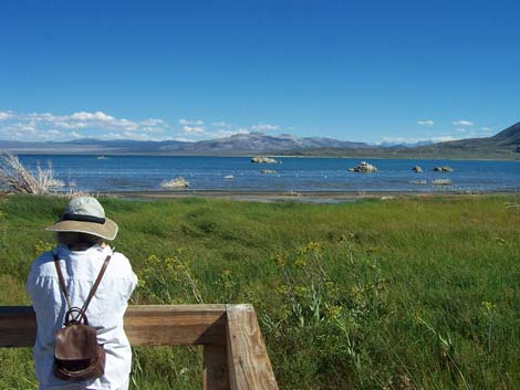 Birder at the end of the boardwalk (view S) |
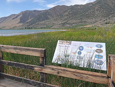 Sign at the end of the boardwalk (view SW) |
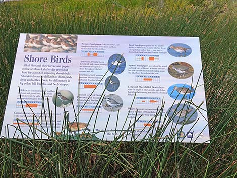 Sign: Shorebirds (view W) |
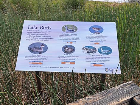 Sign: Lake Birds (view SE) |
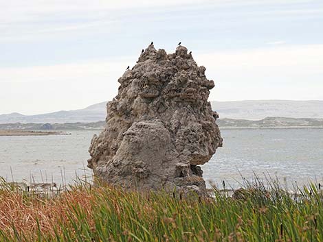 Brewer's Blackbirds on tufa tower at lake edge (view SE) |
Returning Up the Trail
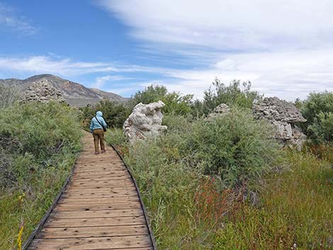 Birder departing the end of the boardwalk (view NE) |
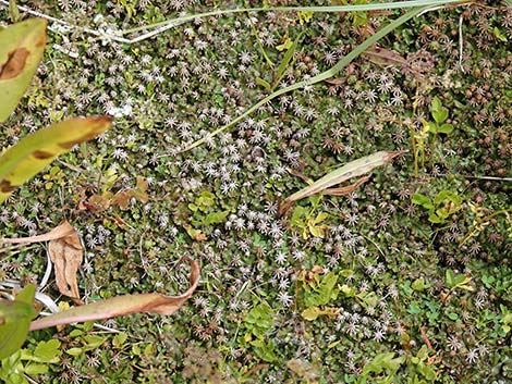 Cool non-vascular plants we missed on the way out (view down) |
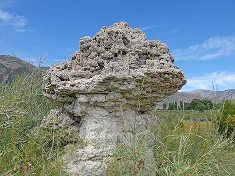 Passing the tufa towers (view NW) |
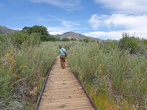 Birder continuing up the trail (view N) |
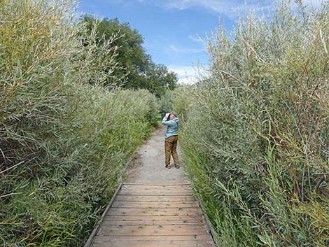 Birder at the end of the boardwalk (view N) |
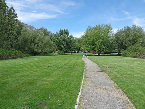 Gravel trail back in the county park (view N) |
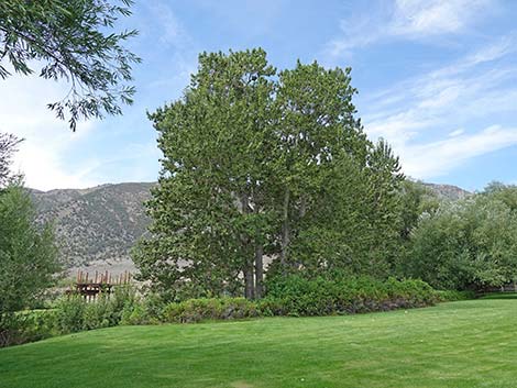 Big trees along the stream with birds (view W) |
 More to come ... |
Happy birding! All distances, elevations, and other facts are approximate.
![]() ; Last updated 240902
; Last updated 240902
| Favorite Places Far Away | Birding Around Las Vegas | Glossary | Copyright, Conditions, Disclaimer | Home |