Birding Around Las Vegas, Lake Mead Area
 33 Hole Picnic Area in the not-so-old days (2004) |
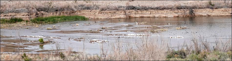
Overview 33 Hole Picnic Area sits on a 3-pronged, flat-topped bluff overlooking Las Vegas Bay, with separate picnic areas atop each prong. When the lake was full, water lapped at the edge of all three picnic areas, but now they provide an elevated position for looking down on waterbirds in the very far distance. To bird the area now, birders should follow fishermen trails down to the edge of Lake Mead. Be sure to bring a spotting scope. Watch for ducks, grebes, cormorants, pelicans, coots, gulls, and the occasional Black-legged Kittiwake, and watch for songbirds during the hike down and back. The landscape is sparsely vegetated with stunted creosote bush, white bursage, and few other shrubs, and the lakeshore is mud or grown up in saltcedar, depending on water levels. Link to map. |
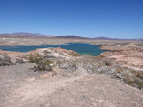 Edge of bluffs: fisherman trail runs to the lake (view NE) |
From each of the three picnic areas, fishermen trails lead north to the lake edge. They all have steep parts and loose dirt, and they keep changing depending on use and water levels. From the left picnic area, the White Owl Trail departs from the left picnic shelter. The beginning is quite steep. This trail leads about 0.4 miles to bluffs overlooking the Las Vegas Wash delta. From the end of the middle picnic area, a concrete trail leads out a ridgeline to an overlook. From there, a fisherman trail runs down to the Las Vegas Wash delta. From the right picnic area, two 33-Hole trails depart from the end of the turn-around loop and run down about 0.35 miles to the edge of Lake Mead (2025). |
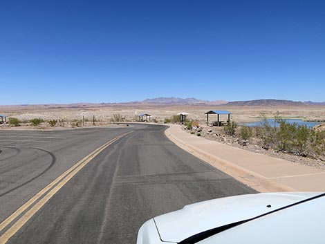 Entering the right-most picnic area (view N) |
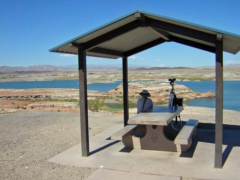
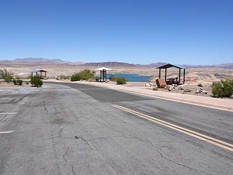 Two covered picnic tables and an information sign (view N) |
 First table on right: shade with distant view of lake (view NE) |
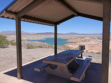 First table on right: shade with distant view of lake (view NE) |
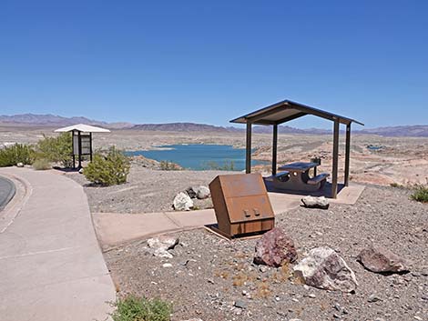
 Second table on right: fisherman trail towards the lake (view NE) |
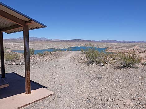 Fisherman trail exits behind the shaded picnic table (view NE) |
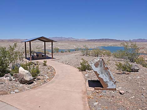
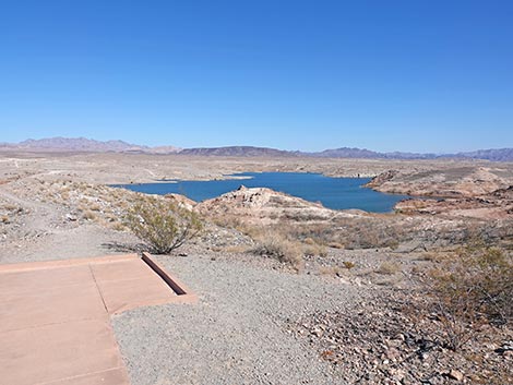 End of the concrete trail at the right picnic area (view N) |
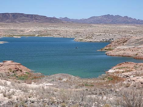 View of the lake; bring a spotting scope to identify birds (view NE) |
Happy birding! All distances, elevations, and other facts are approximate.
![]() ; Last updated 250215
; Last updated 250215
| Birding Around Las Vegas | Southern Nevada Birds | Guide Service | Copyright, Conditions, Disclaimer | Home |