Birding Around Las Vegas, Outside the Las Vegas Valley, Pahranagat Valley
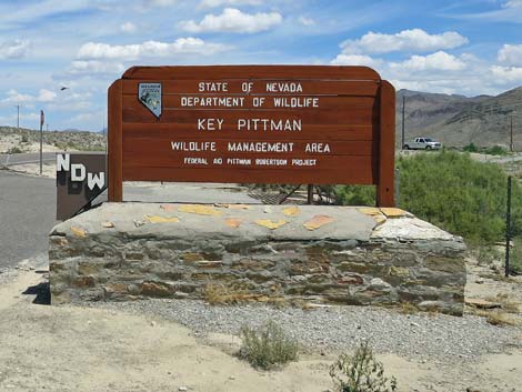 Key-Pittman WMA Headquarters sign in north Hiko (view N) |
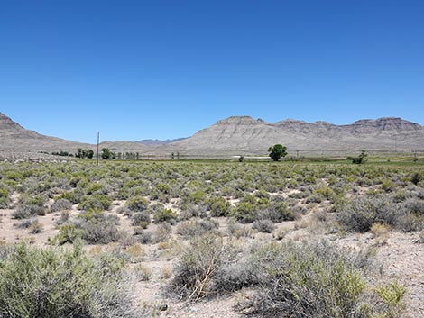
Description Key Pittman Wildlife Management Area includes two small lakes near the town of Hiko. The town and the lakes are located in a broad valley with mountain ranges on both sides. In the bottom of the valley, farmers use spring water to maintain fields that attract a variety of waterfowl, shorebirds, cranes, hawks, and songbirds. Beyond the farm fields, the desert rises gradually to the west and more abruptly to the east. The desert vegetation is composed largely of Greasewood, Blackbrush, desert thorn, with some Banana Yucca and a bit of Silver Cholla mixed in. This is the edge of the Great Basin Desert, so vegetation common just a few miles to the south (e.g., Creosote Bush and Eastern Joshua Trees) is absent here. Key Pittman is a Nevada State Wildlife Management Area, which means that it is managed for hunting. If you visit during hunting season, be careful and read the signs before entering. The area may be closed to non-hunters during hunts. Link to map. |
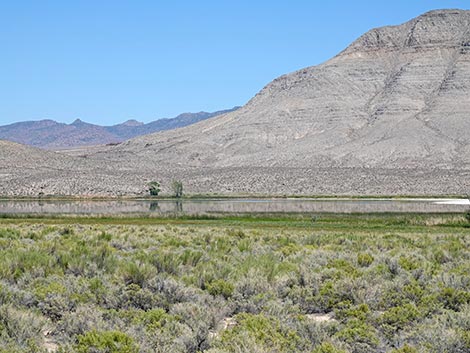
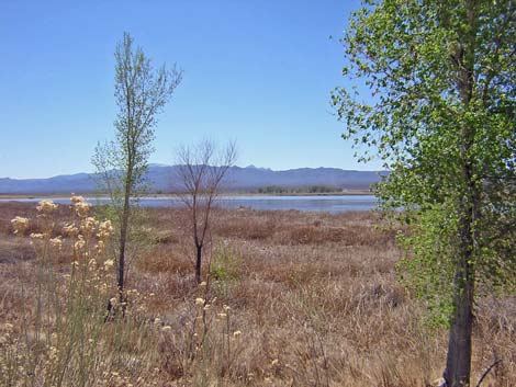
 Frenchy Lake during summer (view E) |
Frenchy Lake, the southern lake, is broad and very shallow, with open water only during some years. When it is wet, an extensive marsh surrounds almost the entire lake. An old road from the south runs up along the east side of the lake, providing access to the water and views of the islands, plus access to the cottonwood grove at the northeast corner of the lake. Location Key Pittman is located in the Pahranagat Valley, about 110 miles north of Las Vegas. From town, drive north on Interstate 15 to US Highway 93. Turn left onto Highway 93 and drive north past the towns of Alamo (95 miles) and Ash Spring (102 miles) to the intersection of Highway 93 and Highway 318 (107 miles) (Table 1, Site 677). |
 Frenchy Lake during summer (view E) |
Frenchy Lake Unit. From the intersection of Highway 93 and Highway 318, drive west on Highway 318 for 0.3 miles. Just before a cattle guard, notice a wide gravel area on the right with Wildlife Management Area signs (Site 0680). Between the signs and a barbed-wire fence, drive north on the dirt access road to another parking area with more signs, an outhouse, and a closed gate (Site 0681). From the parking area, walk up the road to the southeast corner of the lake, and then continue northward along the east side of the lake to an old parking area behind the grove of cottonwood trees (Site 0636). The old road used to loop around the north side of the lake, but it is washed out and impassable. |
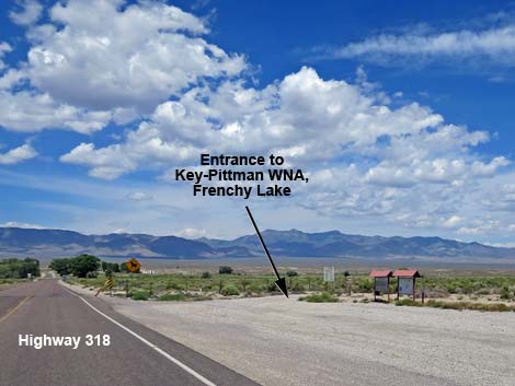 Highway 318 at Frenchy Lake Road (view W) |
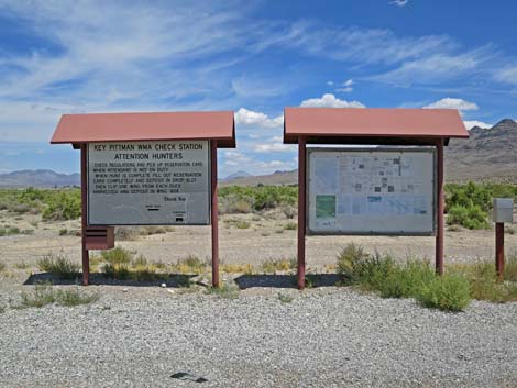 Info signs at the start of Frenchy Lake Road (view N) |
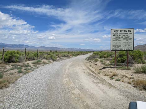 Start of Frenchy Lake Road (view N) |
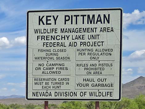 Sign at start of Frenchy Lake Road (view N) |
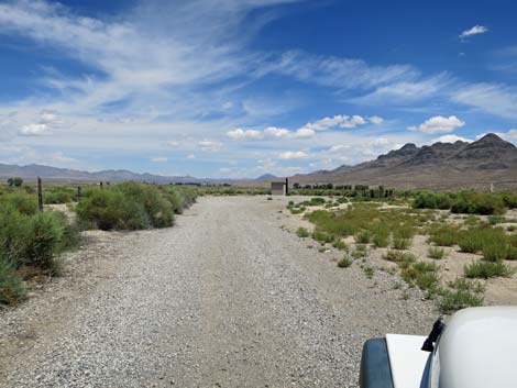 Frenchy Lake Road (view N) |
 Approaching the end of Frenchy Lake Road (view N) |
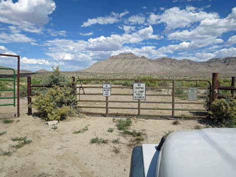 Gate at the end of Frenchy Lake Road (view NE) |
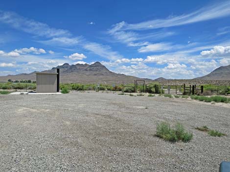
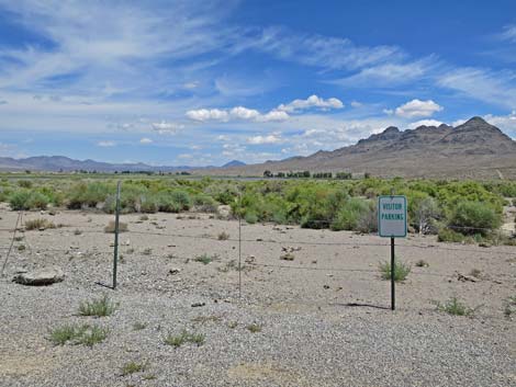 Visitor parking at the end of Frenchy Lake Road (view NE) |
 Frenchy Lake in the distance (view E from Highway 318) |
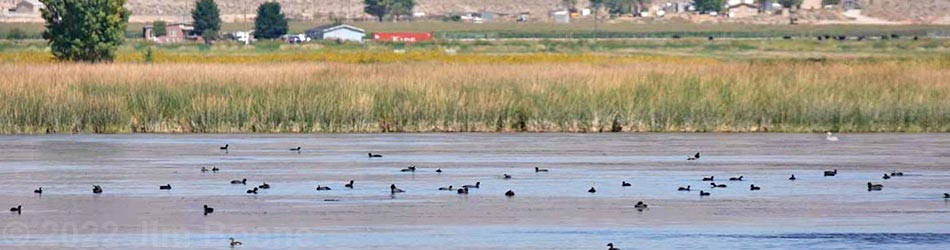
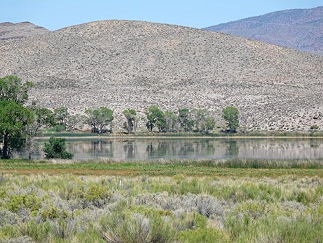
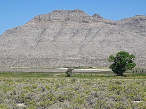 Frenchy Lake during summer (view E) |
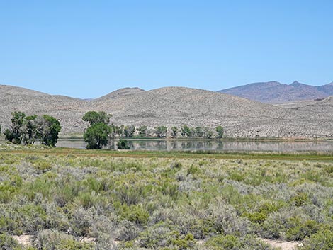 Frenchy Lake during summer (view E) |
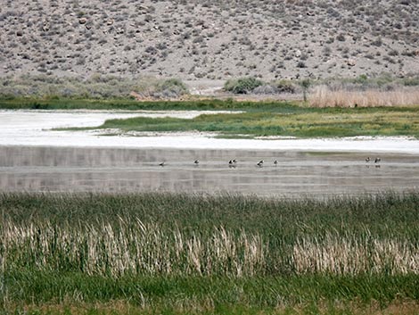
 Frenchy Lake during fall (view E) |
 Frenchy Lake during summer (view E) |
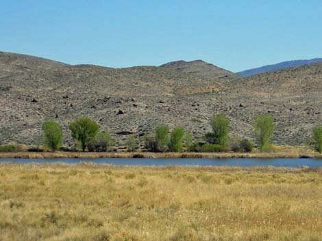
 Marsh at the NE corner of Frenchy Lake (view SW) |
Happy birding! All distances, elevations, and other facts are approximate.
![]() ; Last updated 250715
; Last updated 250715
| Birding Around Las Vegas | Southern Nevada Birds | Guide Service | Copyright, Conditions, Disclaimer | Home |