
Hiking Around Las Vegas, Basin and Range National Monument
 |
Overview There is one developed campground in Basin and Range National Monument (Mt. Irish Campground). Otherwise, there are no facilities of any kind, but primitive camping is legal everywhere along existing roads and trails, and there are a number of traditional campsites scattered throughout the area. The Logan Canyon Road Campsites, outside the southeast edge of the National Monument on BLM land and inside the National Monument, provide campers with a variety of primitive options, plus Mt. Irish Campground. The road tends to be better lower down, but the more isolated campsites are farther up the road. With a sturdy vehicle, consider camping atop Logan Pass. Mt. Irish Campground is along this road. Pack it in - Pack it out. Link to map. |
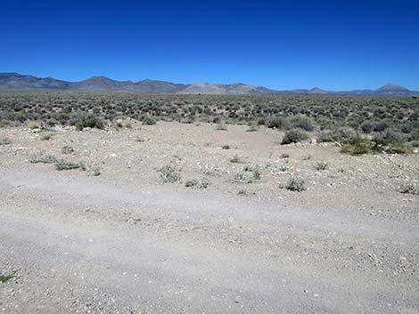 Pullout campsite along Logan Canyon Road (view N) |
Getting to Camp The Logan Canyon Road campsites are located on the southeast edge of Basin and Range National Monument, about 2 hours (125 miles) northeast of Las Vegas. From Las Vegas, drive north on Interstate-15 for 21 miles to Highway 93. Drive north on Highway 93 past the towns of Alamo and Ash Springs to Highway 318. Turn left onto Highway 318 and drive north for 3.2 miles to Logan Canyon Road on the left. Turn left onto Logan Canyon Road, open and close the wire fence gates, and drive northwest. There are several campsites along the road, starting close to Highway 318 and stretching out to the summit of Logan Pass. There are also campsites on the side roads, but larger vehicles and trailers should stay on the main road below the intersection with Silver Canyon Road. |
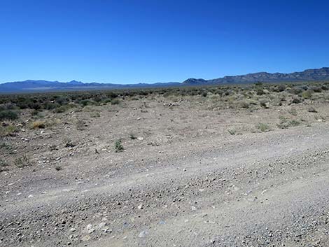 Pullout campsite along Logan Canyon Road (view S) |
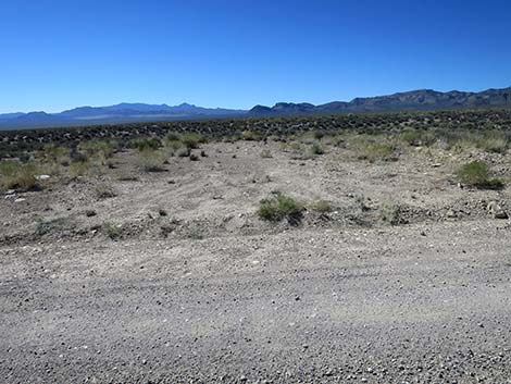 Pullout campsite along Logan Canyon Road (view S) |
 Logan Canyon Road at an unused old road (view NW) |
 Logan Canyon Road at Mt Irish Wilderness Access Road (view SW) |
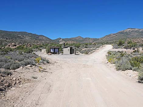 Logan Canyon Road at Mt Irish Campground (view W) |
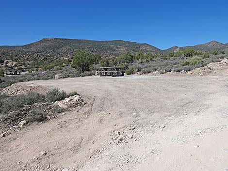 Logan Canyon Road at Mt Irish Campground (view W) |
 Logan Canyon Road at Logan Pass (view S) |
 Logan Pass (view E) |
 Campsite along Silver Canyon Road (view NW) |
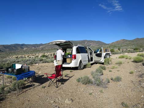 Campsite along Silver Canyon Road (view NW) |
Table 1. Highway Coordinates based on GPS Data (NAD27; UTM Zone 11S). Download Highway GPS Waypoints (gpx) file.
| Site | Location | UTM Easting | UTM Northing | Latitude (N) | Longitude (W) | Elevation (ft) |
|---|---|---|---|---|---|---|
| Logan 1 | Campsite along Logan Canyon Road | 655798 | 4159571 | 37.57182 | 115.23665 | 3,921 |
| Logan 2 | Campsite along Logan Canyon Road | 653860 | 4160084 | 37.57676 | 115.25849 | 4,081 |
| Logan 3 | Campsite along Logan Canyon Road | 648878 | 4161892 | 37.59387 | 115.31452 | 4,783 |
| Logan 4 | Campsite along Logan Canyon Road | 645111 | 4162864 | 37.60323 | 115.35698 | 5,374 |
| Logan Canyon | Logan Canyon campsites | 650064 | 4161361 | 37.58890 | 115.30120 | 4,593 |
| Logan Pass | Campsite at Logan Pass | 640486 | 4165419 | 37.62697 | 115.40886 | 7,228 |
| Silver Canyon | Campsite along Silver Canyon Road | 644953 | 4164571 | 37.61863 | 115.35843 | 5,663 |
Happy Hiking! All distances, elevations, and other facts are approximate.
![]() ; Last updated 240323
; Last updated 240323
| Basin and Range Campsites | Hiking Around Las Vegas | Glossary | Copyright, Conditions, Disclaimer | Home |