
Rock Art Around Las Vegas
Site 1 | Site 2 | Site 3 | Site 4 | Site 5 | Site 6 | Site 7 | Site 8

Rock art is a precious resource. Please help protect and preserve these sites.
 |
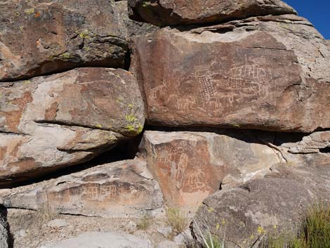
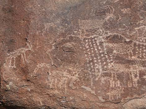
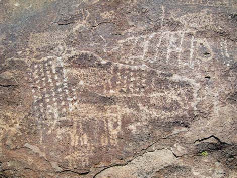
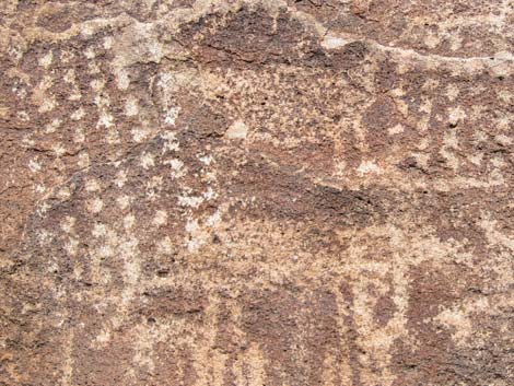
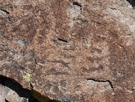
Overview The Mt. Irish Archeological District is a large area with many boulder piles and bands of low cliffs covered with petroglyphs. Shaman Hill is the largest of the public petroglyph sites in the district and consists of many boulders and rock outcrops on the east end of a ridge (which appears to be an isolated hill when looking west). Native peoples etched an extensive array of petroglyphs into the rocks and did a little painting. The BLM placed eight numbered markers around Shaman Hill, and the BLM and Lincoln County each produced brochures describing the numbered petroglyph panels (BLM brochure; Lincoln County brochure). Listed here are details of Site 2. This site consists of one broad rock outcrop with petroglyphs on the south and east faces. Note that Marker #1 is set closer to Site 2 than it is to Site 1, and Marker #2 is to the right (north) of Marker #1 about 20 feet away behind the big juniper tree. There are a few petroglyphs at ground-level at Site 2, which is unusual. Perhaps there were running out of room to write rock stories, or perhaps children wrote them. |
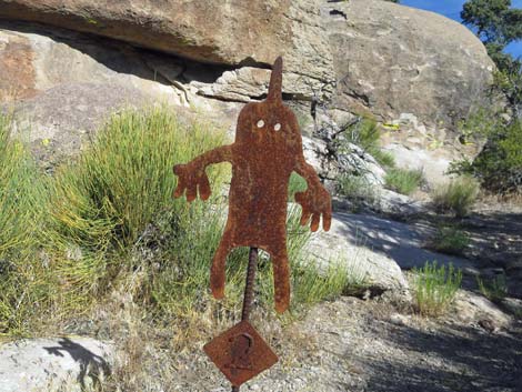 Marker #2 (view W) |
 South Face of Site 2 (view NW from near Marker #1) |
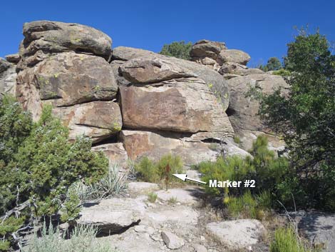 East Face of Site 2 (view W; note Marker #2) |
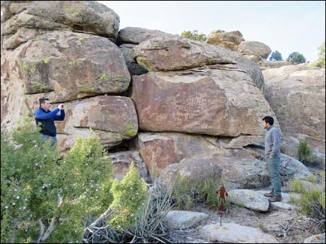 Hikers at the East Face of Site 2 (view W; note Marker #2) |
South-Facing Wall, Upper panel
 South-Facing Wall with Upper, Middle, and Lower panels (view NW) |
 Upper panel |
 Upper panel |
 Upper panel |
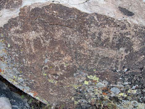 Upper panel |
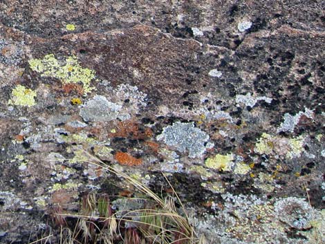 Don't overlook the colorful lichens |
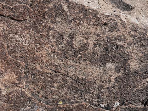 Upper panel, Coyote? |
 Upper panel, Coyote? |
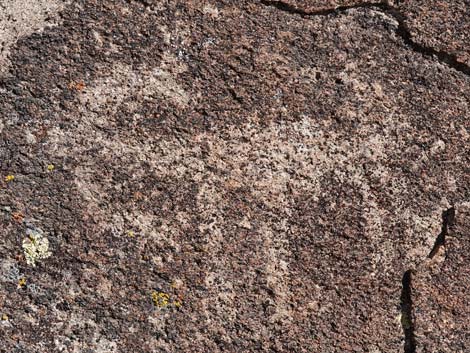 Upper panel, bighorn sheep (unusual top-down view) |
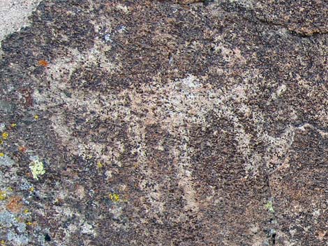 Upper panel, bighorn sheep (unusual top-down view) |
South-Facing Wall, Middle panel
 South-Facing Wall with Upper, Middle, and Lower panels (view NW) |
|
 South-Facing Wall, middle (view N) |
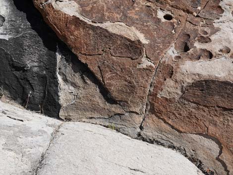 South-Facing Wall, middle (view N) |
 South-Facing Wall, middle (view N) |
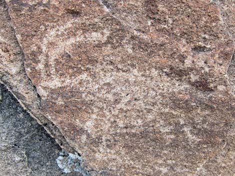 South-Facing Wall, middle (view N) |
 South-Facing Wall, middle (view N) |
 South-Facing Wall, middle (view N) |
| More to come ... |
South-Facing Wall, Lower panel
 South-Facing Wall with Upper, Middle, and Lower panels (view NW) |
|
 South-Facing Wall, lower (view N) |
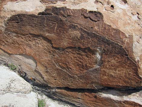 South-Facing Wall, lower (view N) |
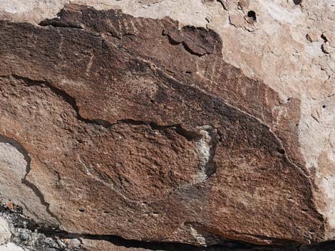 South-Facing Wall, lower (view N) |
 South-Facing Wall, lower (view N) |
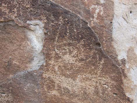 South-Facing Wall, lower (view N) |
 South-Facing Wall, lower (view N) |
| More to come ... |
East-Facing Wall
 East Face of Site 2 (view W; note Marker #2) |
 Hikers at the East Face of Site 2 (view W; note Marker #2) |
 East Face (view W) |
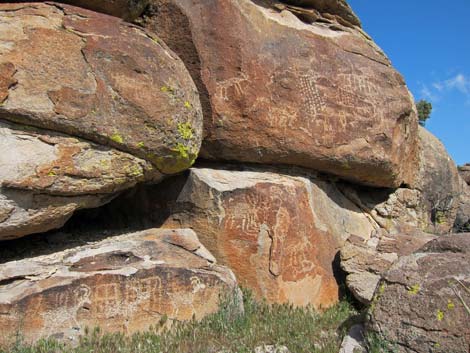 East Face (view NW) |
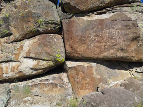 East Face left, sunny day (view W) |
 East Face right, sunny day (view W) |
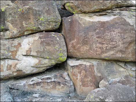 East Face left, cloudy day (view W) |
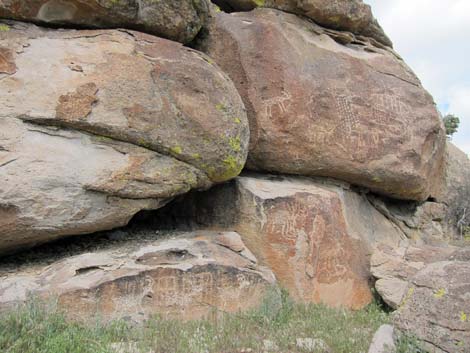 East Face right, cloudy day (view W) |
East-Facing Wall Upper Left
 East-Facing Wall with Left, Right, and Lower sections (view W) |
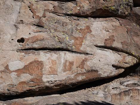 |
 |
|
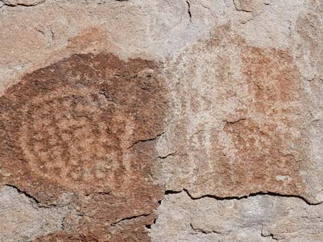 |
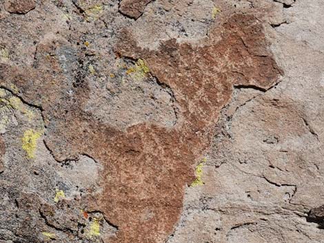 |
East-Facing Wall Upper Right
 East-Facing Wall with Left, Right, and Lower sections (view W) |
 |
 |
|
 |
 |
 |
 |
 |
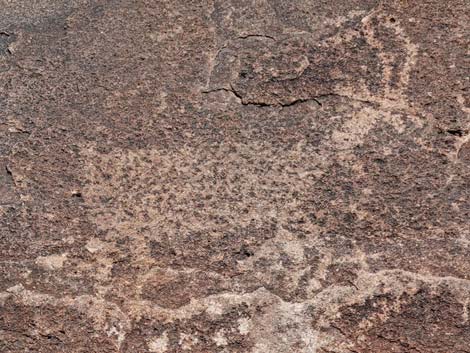 |
East-Facing Wall Lower
 East-Facing Wall with Left, Right, and Lower sections (view W) |
 |
 |
|
 |
 |
 |
 |
 |
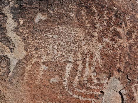 |
 |
 |
 |
 |
Northern, East Facing Wall
 Departing the main Site 2 panels towards Marker #3 (view NW) |
 Departing the main Site 2 panels towards Marker #3 (view NW) |
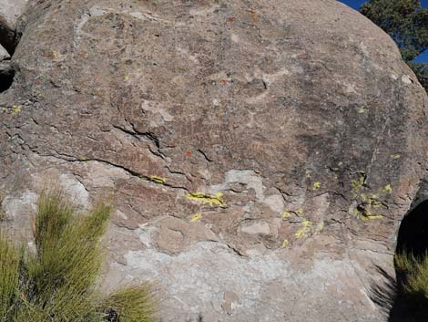 |
 |
 |
 |
Happy Hiking! All distances, elevations, and other facts are approximate.
![]() ; Last updated 240323
; Last updated 240323
| Shaman Hill | Rock Art | Glossary | Copyright, Conditions, Disclaimer | Home |