Rock Art Around Las Vegas
Rock art is a precious resource. Please help protect and preserve these sites.
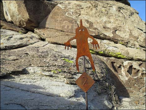 Marker style used at Shaman Hill |
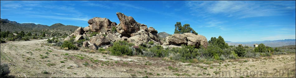
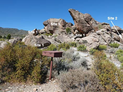
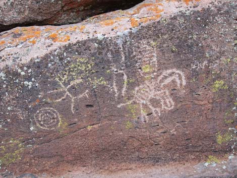
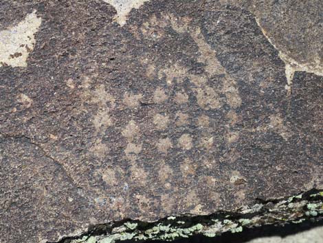
Overview The Mt. Irish Archeological District is a large area with many boulder piles and low bands of cliffs covered with petroglyphs. Shaman Knob is one of the major public petroglyph sites in the district and consists of an isolated boulder pile with great views all around. Native peoples etched an extensive array of nice petroglyphs on the rocks here, and they did a little bit of painting too. The BLM placed four numbered markers around the site, and the BLM and Lincoln County each produced brochures describing the numbered petroglyph panels (BLM brochure; Lincoln County brochure). While visiting this site, please take care of the area and leave it as you found it for the enjoyment of future generations. Link to Area Map or Site Map. |
 Shaman Knob sign-in register (view N) Shaman Knob sign-in register (view N) |
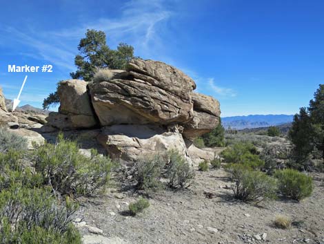
Location The Mt. Irish Archeological District is located in the Pahranagat Valley, about 110 miles north of Las Vegas. Details of the location, access routes, and GPS coordinates are presented on the Mt. Irish Archeological District page. The Hike The sign-in register (Table 1, Site SK-Register) is located adjacent to the parking area on the south side of Shaman Knob. From the register, the short Shaman Knob Trail leads hikers through a gap in the rocks and around to the backside making a loop to the left. From the sign-in register, Marker #1 (Site SK-01) is just left of the register, and Marker 2 (Site SK-02) is in the gap in the middle of the knob. Marker #3 (Site SK-03) and Marker #4 (Site SK-04) are through the gap and around the backside of Shaman Knob to the left, and Site NE is a bit right of Site 4. Site SE is not on the regular trail; rather, it is on the southeast corner of Shaman Knob. For details of that trail, see Shaman Knob Trail. |
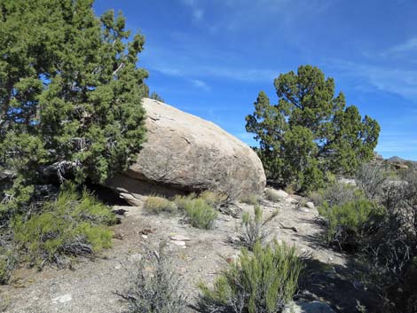
 Shaman Knob (view N) |
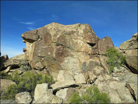 Top of Shaman Knob (view N) |
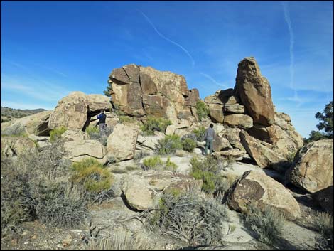
 Hiking climbing towards the top of Shaman Knob (view NE) |
 South face of Shaman Knob (view E) |
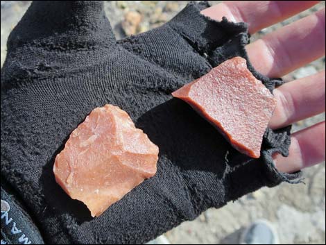 Stone tools -- look and touch, but leave behind! |
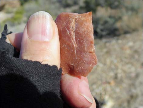 Stone knife-- look and touch, but leave behind! |
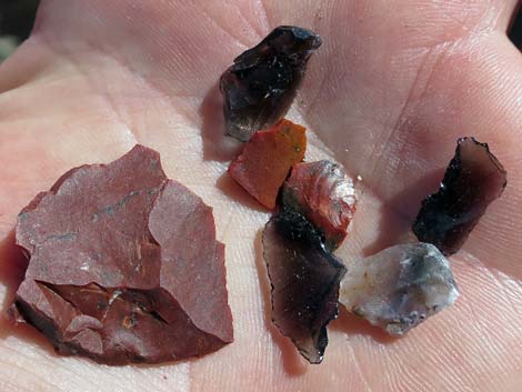 Stone scraper and stone chips discarded while making tools |
 Southwest half of Shaman Knob (view NE) |
 Pinyon Pine Tree and grand scenery (view NE) |
 Utah Juniper Tree and grand scenery (view E) |
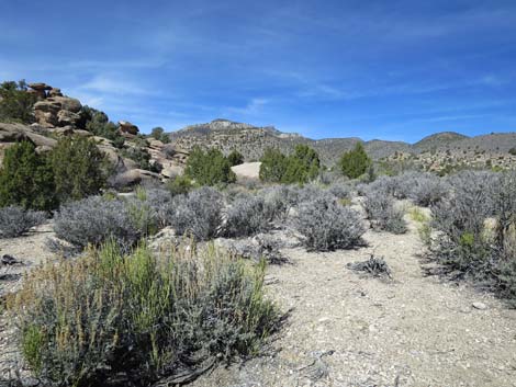 Sagebrush, blackbrush, and grand scenery (view NW) |
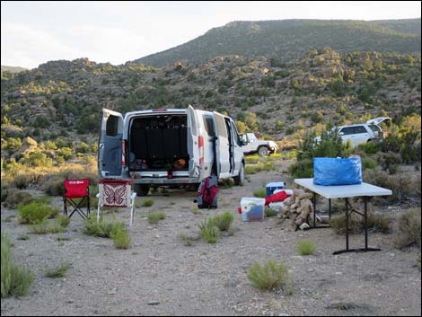 Shaman Knob parking (view S) |
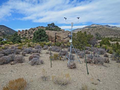 Weather station at Shaman Knob |
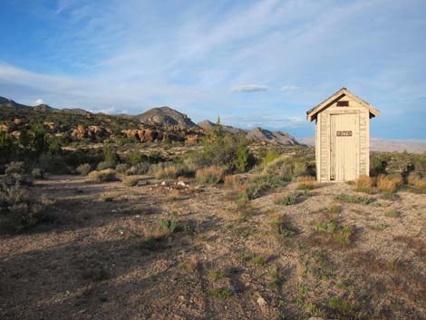 Historical outhouse with an amazing view -- now gone (view NE) |
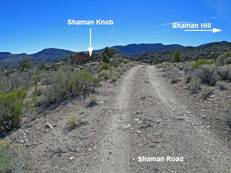 Shaman Road approaching Shaman Knob (view S) |
 The road home (view NW) |
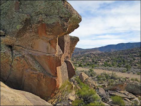
 Curious rock story |
 Curious rock story |
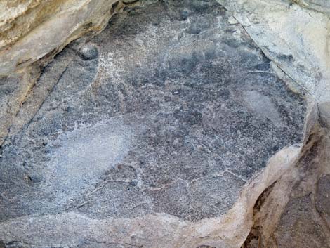 Grinding slick (metate) |
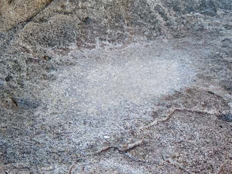 Grinding slick (metate) |
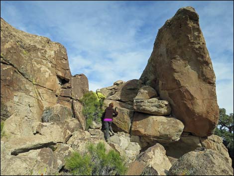
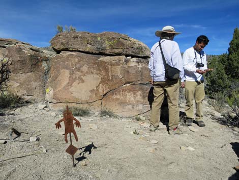 Archaeologist at work |
 Curious rock story |
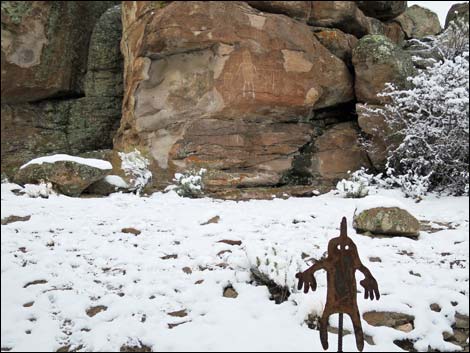
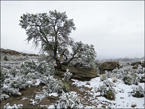
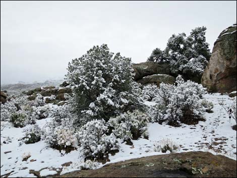
Shaman Knob in the Snow
 |
 |
 |
 |
 |
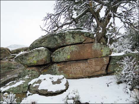 |
Table 1. Hiking Coordinates based on GPS data (NAD27; UTM Zone 11S). Download Hiking GPS Waypoints (*.gpx) file.
| Waypoint | Location | Easting | Northing | Elevation | Verified |
|---|---|---|---|---|---|
| SK-Register | Shaman Knob Sign-in Register | 643217 | 4163199 | 5,725 | GPS |
| SK-01 | Shaman Knob Marker #1 (est) | 643220 | 4163211 | 5,733 | GPS |
| SK-02 | Shaman Knob Marker #2 | 643236 | 4163214 | 5,727 | GPS |
| SK-03 | Shaman Knob Marker #3 | 643236 | 4163225 | 5,719 | GPS |
| SK-04 | Shaman Knob Marker #4 | 643235 | 4163231 | 5,721 | GPS |
SK = Shaman Knob
Happy Hiking! All distances, elevations, and other facts are approximate.
![]() ; Last updated 240323
; Last updated 240323
| Rock Art | Glossary | Copyright, Conditions, Disclaimer | Home |