
Backroads Around Las Vegas, Basin and Range National Monument

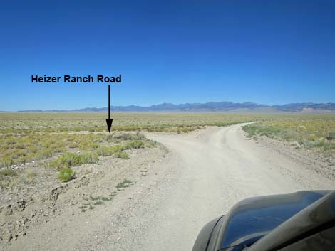 Cherry Creek Rd, approaching Heizer Ranch Rd on the left (view W) |
Overview Heizer Ranch Road is a well-maintained dirt road that normally is suitable for 2WD vehicles. The road starts along Cherry Creek Road, just west of Water Gap, and runs 2-1/4 miles across the western edge of Garden Valley to Michael Heizer's Ranch and land art project City. The road, however, is gated 0.6 miles out, as visitors are not yet invited to see City. |
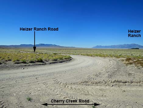 Cherry Creek Road at Heizer Ranch Road (view W) |
Watch Out Other than the standard warnings about driving in the desert, ...this road is pretty safe, but be sure that your vehicle is in good working condition, carry plenty of water (radiator and drinking), and pack a lunch. Always drive carefully; even though the road is well maintained, there are occasional hazards such as errant boulders in the roadway and mud puddles after heavy rains. While out, please respect the land and the other people out there, and try to Leave No Trace of your passage. This road goes into remote areas, so be sure to bring the 10 Essentials. Cell phones don't work. Getting to the Road Heizer Ranch Road is located in the west-central part of Basin and Range National Monument, about 3 hours (153 miles) northeast of Las Vegas driving directly, or about 1-1/2 hours (47 miles) north of the intersection of Highway 93 and Highway 318. |
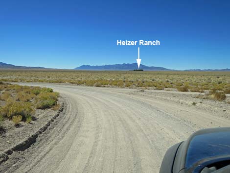 Turning onto Heizer Ranch Road (view SW) |
From Las Vegas, drive north on Interstate-15 21 miles to Highway 93. Turn left onto Great Basin Highway (Hwy 93) and drive north past the towns of Alamo (95 miles from Las Vegas) and Ash Springs (102 miles) to the intersection of Highways 93 and 318 (107 miles). Gasoline is available in Alamo, Ash Springs, Rachel, and Lund. Turn left onto Highway 318 and drive west then north on Highway 318 for 17.4 miles to Seaman Wash Road on the left. Turn onto Seaman Wash Road and drive northwest 26.5 miles to a fork in the road (stay "straight" at all forks and side roads to this point). At the fork, stay right and cross to the other side of the valley where the road forks again (broad, triangular intersection). Stay left onto Cherry Creek Road and continue west 2.2 miles to an unmarked side road on the left: this is Heizer Ranch Road. |
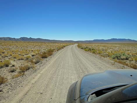 Start of Heizer Ranch Road (view S) |
The Road From Cherry Creek Road (Table 1, Site 1562), Heizer Ranch Road runs south 0.3 miles to a right-hand curve. The road bends and continues west, heading straight out into Garden Valley for another 0.2 miles to a gate (Site 1563). For now, public access ends here. From the gate, trees can be seen at the ranch buildings, and behind the trees, stretching to the left and right, visitors can see the upper-most portions of City. In the near future, City will be finished and unveiled to the public, and visitors will be allowed onto the ranch. When this happens, drivers will pass the gate and follow a 90-degree S-curve to the right and back to the left. Continuing west, the road runs out 1.2 miles and bends 90-degrees left. Now heading due south 0.5 miles, the road runs along the pastures and arrives at the ranch house, a total of 2.2 miles from the start. At this point, the ranch house and workshops are on the left, and the land art (Site 1547) is straight ahead. |
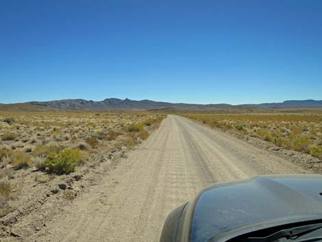 Heizer Ranch Road (view S) |
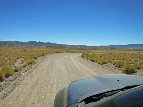 Heizer Ranch Road approaching curve to the right (view S) |
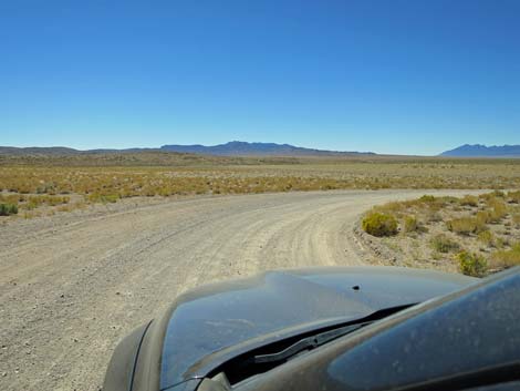 Heizer Ranch Road at curve to the right (view S) |
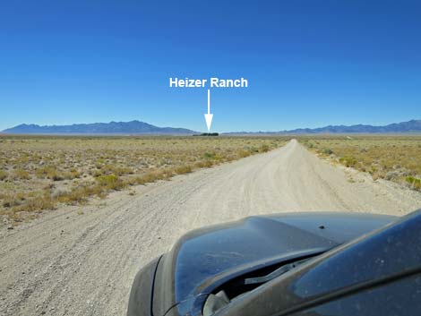 Heizer Ranch Road now runs west (view W) |
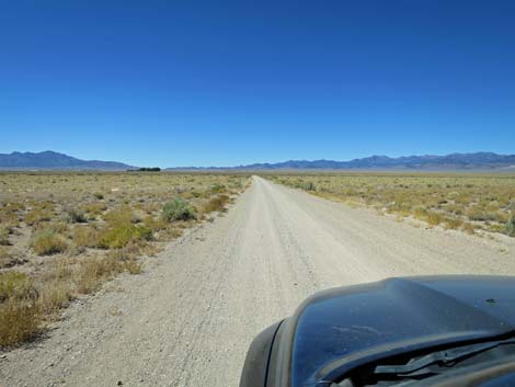 Heizer Ranch Road (view W) |
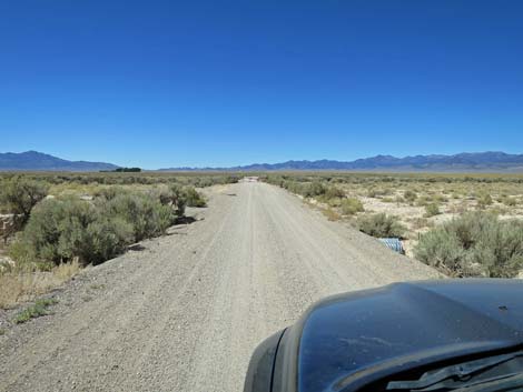 Culverts allow storm water to flow under Heizer Ranch Road (view W) |
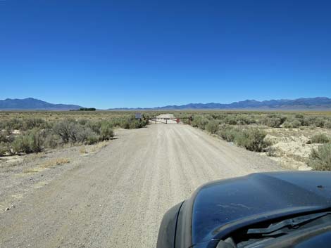 Heizer Ranch Road approaching the gate (view W) |
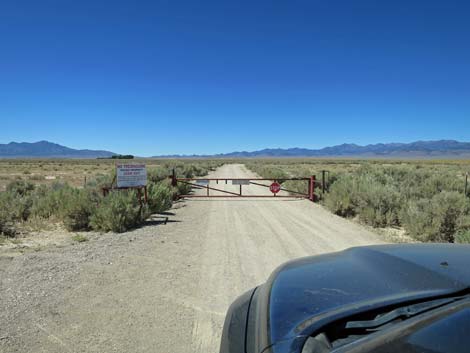 Heizer Ranch Road at the gate (view W) |
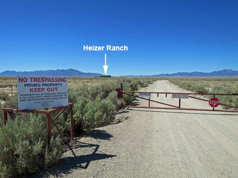 Heizer Ranch gate (view W) |
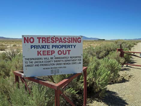 Sign at Heizer Ranch gate: keep out (view SW) |
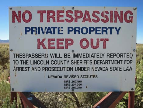 Sign at Heizer Ranch gate: keep out (view SW) |
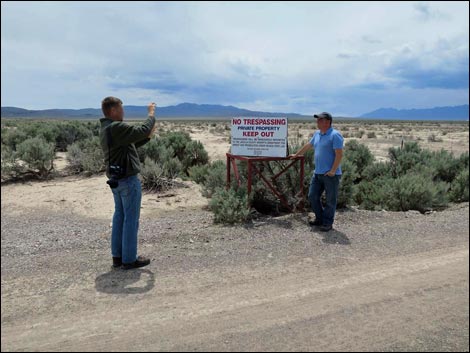 Proof: we were here (view W) |
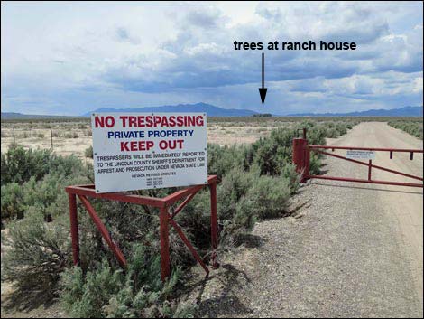 Heizer Ranch gate (view W) |
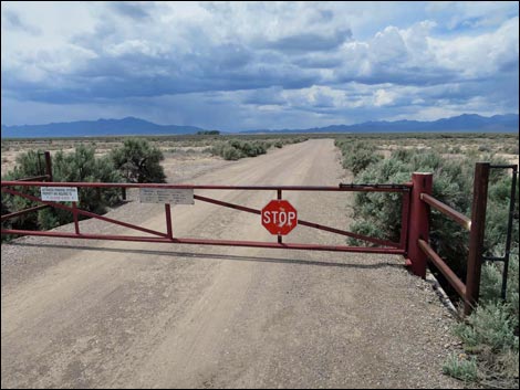 Heizer Ranch gate (view W) |
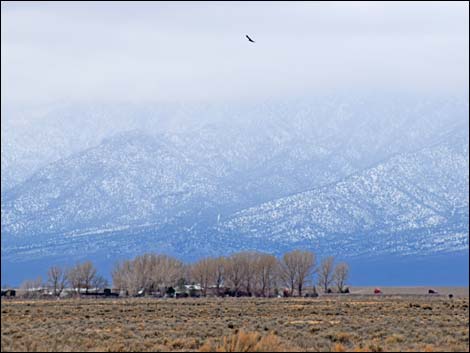 Heizer Ranch (view W from the gate) |
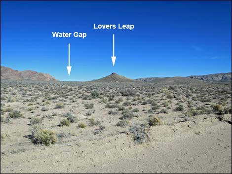 Looking back towards Water Gap and Lovers Leap Overlook (view NE) |
Table 1. Highway Coordinates and Distances based on GPS Data (NAD27). Download highway GPS waypoints (gpx) file.
| Wpt. | Location | Latitude (N) | Longitude (W) | Elevation (ft) | Point-to-Point Distance (mi) | Cumulative Distance (mi) | Verified |
|---|---|---|---|---|---|---|---|
| 1562 | Cherry Creek Rd at Heizer Ranch Rd | 38.04701 | 115.41557 | 5,155 | 0.00 | 0.00 | Yes |
| 1563 | Heizer Ranch Rd at Gate | 38.04177 | 115.41723 | 5,144 | 0.60 | 0.60 | Yes |
| 1547 | Heizer's City | 38.03335 | 115.44232 | 5,177 | 1.70 | 2.30 | Yes |
Happy Hiking! All distances, elevations, and other facts are approximate.
![]() ; Last updated 240324
; Last updated 240324
| Basin and Range | Backroads | Hiking Around Las Vegas | Glossary | Copyright, Conditions, Disclaimer | Home |