
Backroads Around Las Vegas, Basin and Range

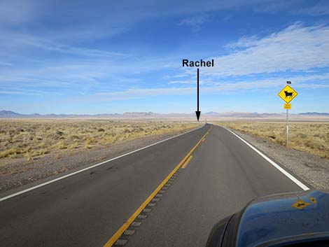 Highway 375 at first view of Rachel (view W) |
Overview Shadow Road, probably originally named Shadow Spring Road, runs north from Highway 375 near the town of Rachel, along the west side of the Worthington Range, into the Garden Valley area of Basin and Range National Monument. The road usually is well-maintained dirt and normally is suitable for 2WD vehicles. From the west, this is the quickest way to Michael Heizer's City and the village of Cherry Creek. Shadow Road traverses the big, open country of Sand Spring Valley between the Timpahute and Worthington ranges to the east and the Quinn Canyon Range to the west and north. The road passes abandoned buildings (still standing) and historical ruins at Shadow Springs. Most of the road runs through wide, open country with little vegetation to obstruct the view. Near the north end of Shadow Road, the road climbs over a gap between the Worthington and Quinn Canyon ranges where Big Sagebrush is mixed into a Pinyon-Juniper Woodland. Link to Road Map. |
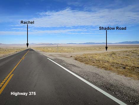 Highway 375 approaching Shadow Road (view W) |
Watch Out Other than the standard warnings about driving in the desert, ...this road is pretty safe, but be sure that your vehicle is in good working condition, carry plenty of water, and pack a lunch. Always drive carefully; the road is maintained but not frequently, and there are occasional hazards such as errant boulders and badger burrows in the roadway. Because this road mostly is long, straight, and wide, it leads to driving too fast. Road conditions can change quickly, so resist the urge to go as fast as possible. During drought conditions, parts of the road turn to poof-dust with the consistency of white flour, which are hard to drive through and kick up huge clouds of dust for anyone driving behind. While out, please respect the land and the other people out there, and try to Leave No Trace of your passage. This road goes into remote areas, so be sure to bring the 10 Essentials. Cell phones work near Rachel. |
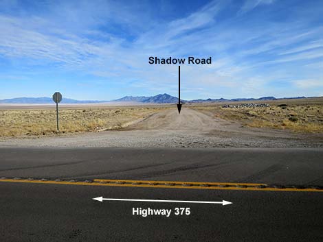 Shadow Road (view N from Highway 375) |
Getting to the Road Shadow Road is located in Sand Spring Valley, just west of Basin and Range National Monument and starting just east of Rachel. This is about 2 hours (145 miles) northeast of Las Vegas driving directly, or about 32 minutes (38 miles) west of the intersection of Highway 93 and Highway 318. It is 2.1 miles east of Little A'Le'Inn in Rachel. From Las Vegas, drive north on Interstate-15 for 21 miles to Highway 93. Exit right onto Great Basin Highway (Hwy 93) northbound and top off the gas tank if necessary. Drive north past the towns of Alamo (95 miles from Las Vegas) and Ash Springs (102 miles) to the intersection of Highways 93 and 318 (107 miles). Gasoline is available in Alamo, Ash Springs, Rachel (usually), and Lund. Turn left onto Highway 318 and drive west 0.6 miles to a fork in the highway. Stay left (straight) onto Highway 375. Continue west, over Hancock Summit, and down into Tikaboo Valley. After about 37.2 miles on Highway 375, turn right onto Shadow Road, which at this point is listed on Google Maps as Tempiute Road. Watch for a gravel pit in the right and a flashing open-range sign shortly before the turnoff. |
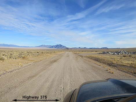 Starting north on Shadow Road (view N) |
The Road From Highway 375 (Table 1, Site 1998), Shadow Road runs north passing a gravel pit on the right, dropping to cross a broad wash, passing an old cell tower facility that now looks a bit like a low-end version of Stonehenge (0.8 miles out, on the left), and passing under old powerlines (1.4 miles out). Beyond there, almost all semblances of modern civilization are left behind. In this area, the vegetation is low growing, mostly grasses and grass-like species with few plants big enough to be called a shrub. At about 1.8 miles out, Shadow Road merges with Shadow Wells Road (Site 2003), on the left. This road comes up directly from the east edge of Rachel. For people heading south towards Rachel, this road will save about 2 miles. Just past the Shadow Wells Road intersection, Shadow Road passes an old corral on the right and then passes over a cattle guard (1.9 miles out). |
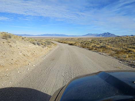 Shadow Road dropping to cross a broad wash (view N) |
Still heading north, Shadow Road bends a bit to the right to head northeast, and then arrives at a fork in the road (Site 2004; 3.1 miles out). There are no road signs out here, so don't expect names or directions. Shadow Road stays left, but the road to the right is Tempahute Mine Road (note the differing spellings of Tempahute). Tempahute Mine Road is well maintained and runs up into the mountains to Tempahute Mine, which is now closed to the public. Even so, the road is pretty, and past the high point, the road back to Highway 375 is paved. Staying left and continuing northwest, Shadow Road bends right where a minor road forks left. The main road is obvious as it winds around a bit towards an old ranch, which is visible in the distance from the intersection. The three old buildings (3.5 miles out) at the ranch have been abanodned, but they remain in relatively good repair. Just past the third building, Shadow Road arrives at a 4-way intersection. Shadow Road continues "straight" to head north while the well-used crossroad runs in both directions to gravel pits. Most of the traffic here turns right, which makes that look like the main road. |
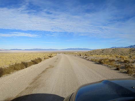 Shadow Road crossing the broad wash (view N) |
Past the intersection, Shadow Road bends left and continues more or less straight north. The landscape is big and wide open with far-off mountain ranges in all directions, but still with only low-growing plant species. At about 5.6 miles out, Shadow Road passes a minor side road to the left that runs into the bottom of the valley and a cattle tank. At about 7.0 miles out, Shadow Road bends right and passes another minor side road to the left that also runs into the bottom of the valley and a different cattle tank. Shortly, at about 7.2 miles out, Shadow Road reaches a 4-way intersection (Site 2005). The left is a minor road that runs out into the bottom of the valley, while the right is better-used and runs out over the north end of the Timpahute Mountains. This is Pennoyer Spring Road, which connects with N Crescent Road in Basin and Range National Monument. |
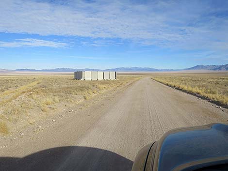 Shadow Road approaching concrete Stonehenge (view N) |
Beyond Pennoyer Spring Road, Shadow Road continues northeast through Sand Spring Valley. At about 9.3 miles out, Shadow Road passes a fork (Site 1575) to the right. This minor road also runs east over the mountains into Basin and Range National Monument and connects with N Crescent Road. Still running northeast, Shadow Road forks again (Site 2006; 11.9 miles out). Here, Shadow Road stays left to run due north, while the right runs about 0.3 miles northeast to Shadow Spring, which is recognized by a large water tank. Just beyond the water tank, ruins of a stone house sit in silent testament to the long-lost hopes and dreams of a pioneer family. A few yards south of the house, a root cellar is filling in with wind-blown sand and dirt. In winter, this is a good place to look for raptors who sit on the structures and watch for lunch in the surrounding old fields. Continuing north on Shadow Road, at 12.9 miles out, a side road merges with Shadow Road from the right. This road comes up from the old water tank at Shadow Spring. In this area, crossing the bottom of the valley, drivers might encounter parts of the road with blown out poof-dust, which is hard to drive through. |
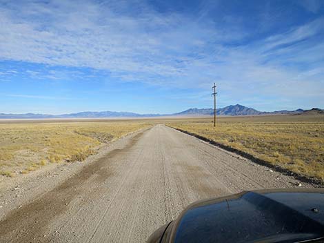 Shadow Road approaching powerlines (view N) |
Past the spring, Shadow Road continues more-or-less straight and north. At about 16.2 miles out, the road passes a minor road to the right (Site 1576). This side road, Worthington West Access Road, runs 4.5 miles up a narrow corridor that cuts deeply into the Worthington Mountains Wilderness Area. This road provides access to a trailhead at the base of the Worthington Mountains, but surprisingly, not near Leviathan Cave. Continuing north on Shadow Road, at 17.2 miles out, the road forks. A well-used graded road forks left into the center of Sand Spring Valley, while Shadow Road continues straight (north). The road to the left runs about 1 mile west to connect with another major road that runs up the center of Sand Spring Valley. Shadow Road bends a bit left to run northwest. In another mile, Shadow Road merges with the other major road (Site 1578; 18.2 miles out), and together they run northeast. Google Maps has this road labeled at Smith Well Connect Road, but from Highway 375, about 5.8 miles west of Rachel, it is labeled Gunderson Road, which becomes Smith Well Road up to Smith Spring, and then Smith Well Connect Road. Google isn't always the best source for ranch-road names. |
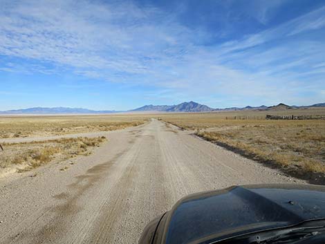 Shadow Wells Road merging with Shadow Road (view N) |
At about 20.8 miles out, Shadow Road crosses a second cattle guard and continues northeast towards the mountains that aren't quite so distant anymore. In this area, the mountains and bajada to the west are inside the Worthington Mountains Wilderness Area, and the vegetation is becoming more diverse with some shrubs joining the mix of grasses. At about 21.4 miles out, Shadow Road forks again (Site 2007). Here, Shadow Road stays right, while the left fork runs more northerly into the mountains. At about 22.5 miles out, the road bends hard to the right and passes a side road branching hard to the left. This road runs west and connects with the road that previously forked left. It crosses that road and seems to run all the way across the top of Sand Spring Valley. Dropping to cross a large wash, Shadow Road now runs northeast to wrap around the north end of the Worthington Range. In this area, the desert floor is covered with Big Sagebrush, and the hillside are sprouting Utah Juniper trees. |
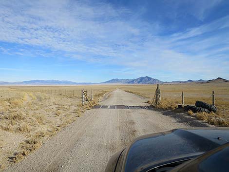 Shadow Road at first cattle guard (view N) |
Shadow Road climbs towards a gap in the mountains, and at about 24.0 miles out, passes a graded side road (Site 2008) to the left. This road runs back west and merges with the north-trending from from 2.6 miles back. Together they run north through the mountains to Pine Creek. Now heading almost east, Shadow Road climbs towards the skyline and at 25.1 miles out (Site 2009), passes a sign announcing entrance into Basin and Range National Monument. In another 0.4 miles, Shadow Road crosses the pass (5,870 ft elevation) into Garden Valley. The descent into Garden Valley is gentle, but the road cuts across the terrain to create a bit of a roller-coaster ride. At about 27.0 miles out, Shadow Road crosses a third cattle guard and continues northeast into the valley. Finally, at about 28.8 miles out (Site 2010), Shadow Road begins to end. At this point, Shadow Road forks. The left fork runs northeast 0.3 miles to end at Mail Summit Road Northbound (Site 1567), while the right fork runs southeast 0.5 miles to end at Mail Summit Road Southbound (Site 1568). |
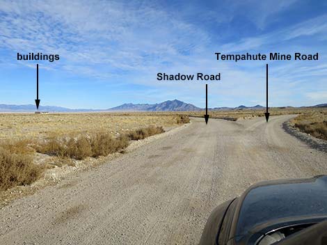 Shadow Road at Tempahute Mine Road (view N) |
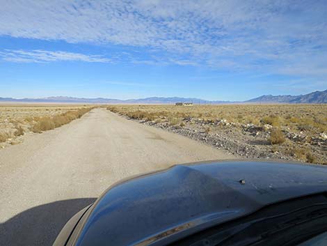 Shadow Road (view NW) |
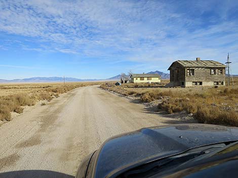 Shadow Road at abandoned buildings (view N) |
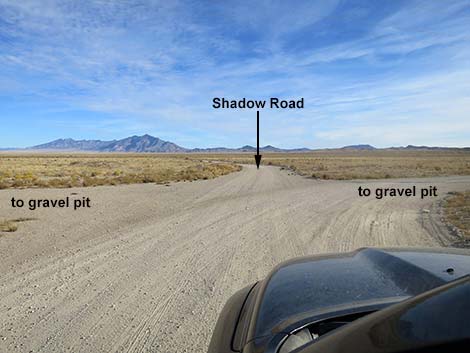 Shadow Road just past abandoned buildings (view NE) |
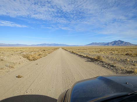 Shadow Road (view N) |
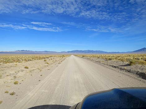 Shadow Road (view N) |
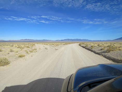 Shadow Road at minor side road (view N) |
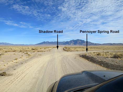 Shadow Road at Pennoyer Spring Road (view NE) |
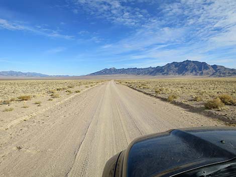 Shadow Road (view NE) |
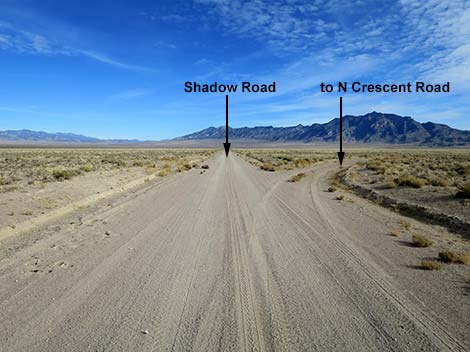 Shadow Road at side road to N Crescent Road (view NE) |
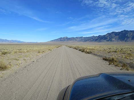 Shadow Road (view NE) |
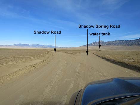 Shadow Road at Shadow Spring Road (view NE) |
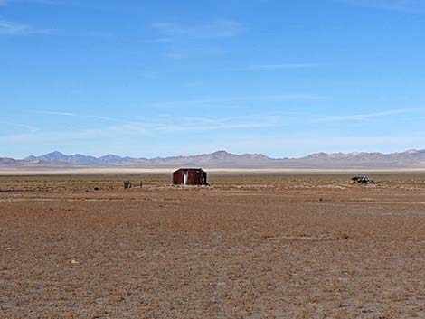 Shadow Spring water tank at the spring (view NW) |
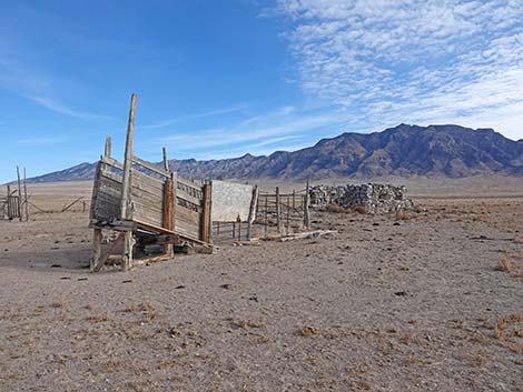 Shadow Spring corral and cabin ruins (view NE) |
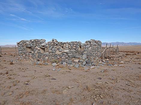 Shadow Spring cabin ruins (view NW) |
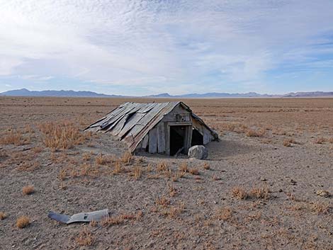 Shadow Spring root-cellar ruins (view SW) |
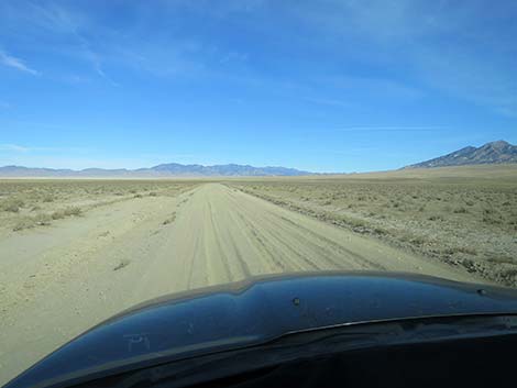 Shadow Road at poof-dust (view N) |
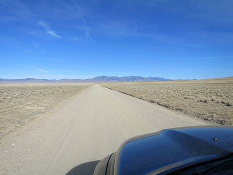 Shadow Road (view NW) |
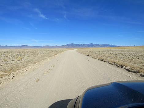 Shadow Road (view NW) |
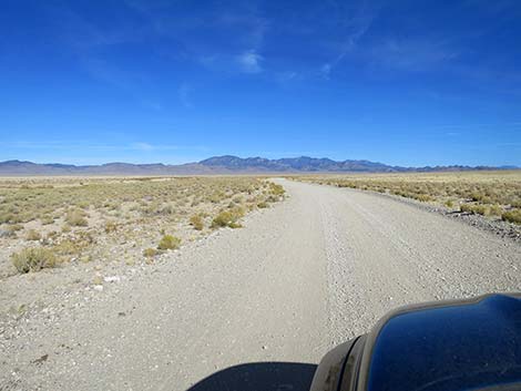 Shadow Road (view N) |
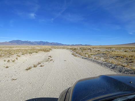 Shadow Road (view N) |
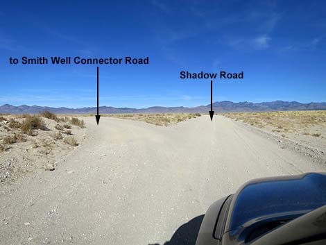 Shadow Road at Smith Well Spur Road (view N) |
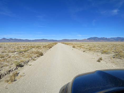 Shadow Road (view NW) |
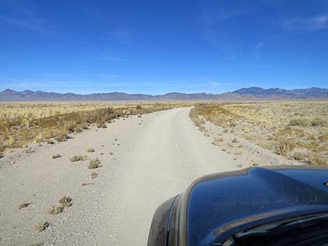 Shadow Road (view NW) |
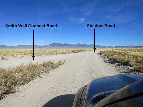 Shadow Road merging with Smith Well Connect Road (view N) |
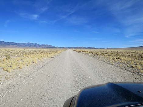 Shadow Road (view NNE) |
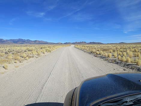 Shadow Road (view NNE) |
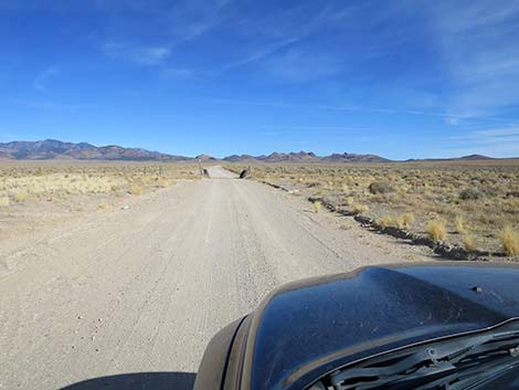 Shadow Road approaching a cattle guard (view NNE) |
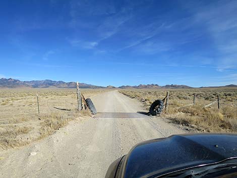 Shadow Road at second cattle guard (view NNE) |
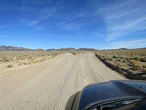 Shadow Road approaching a fork in the road (view NNE) |
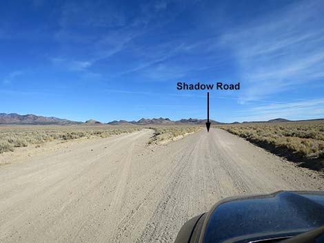 Shadow Road at a fork in the road (view NNE) |
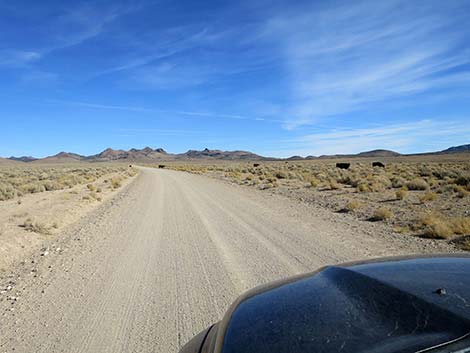 Shadow Road approaching cattle on the road (view NE) |
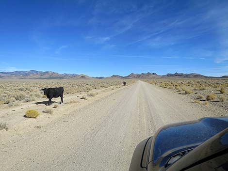 Always watch for cattle on the road (view NE) |
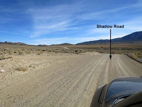 Shadow Road at a side road (view E) |
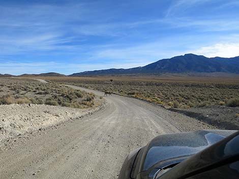 Shadow Road dropping to cross a wash (bull on road; view E) |
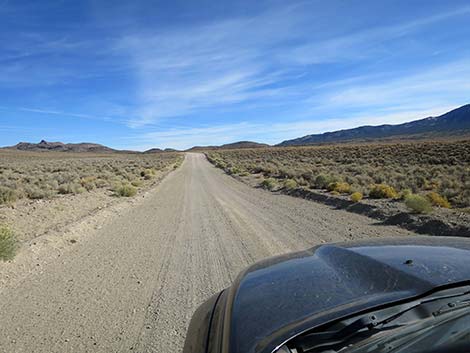 Shadow Road (view NE) |
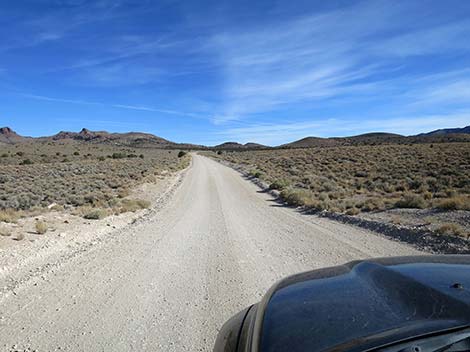 Shadow Road (view NE) |
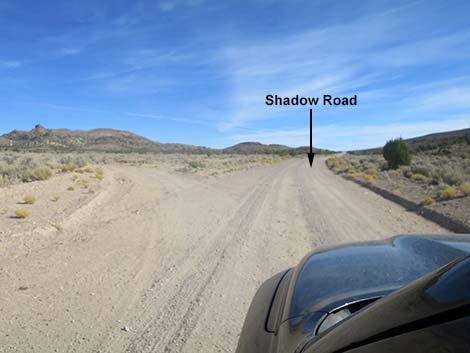 Shadow Road at a fork in the road (view NE) |
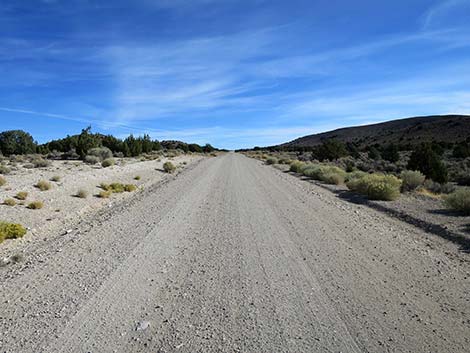 Shadow Road getting up into the trees (view ENE) |
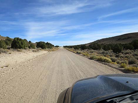 Shadow Road approaching the crest of the mountains (view ENE) |
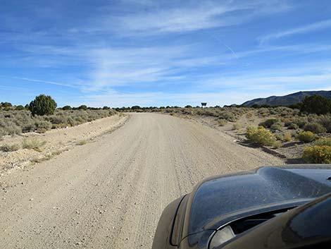 Shadow Road approaching Basin and Range NM boundary (view ENE) |
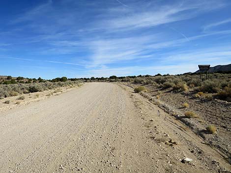 Shadow Road at Basin and Range NM boundary (view NE) |
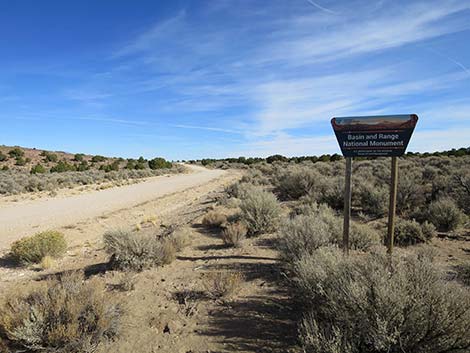 Basin and Range NM boundary (view NE) |
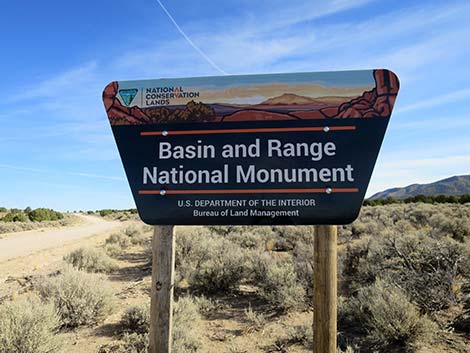 Basin and Range NM boundary sign (view NE) |
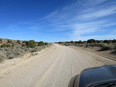 Shadow Road entering Basin and Range NM boundary (view NE) |
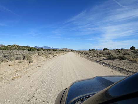 Shadow Road at high point on the road (view NE) |
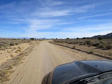 Shadow Road (view NE) |
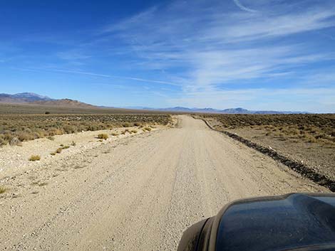 Shadow Road descending into Garden Valley (view NE) |
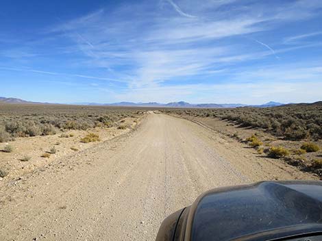 Shadow Road descending into Garden Valley (view NE) |
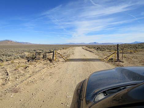 Shadow Road at third cattle guard (view NE) |
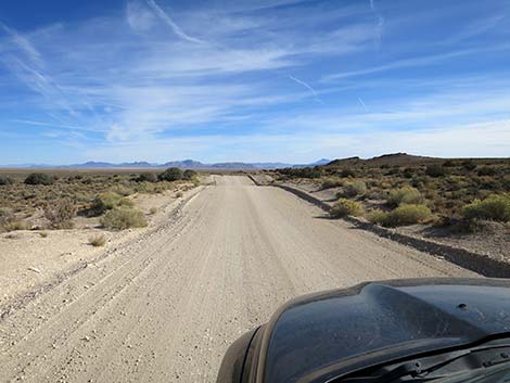 Shadow Road (view NE) |
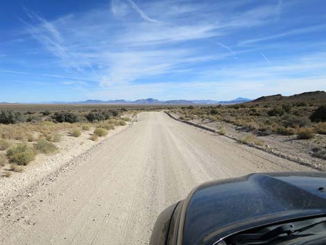 Shadow Road (view NE) |
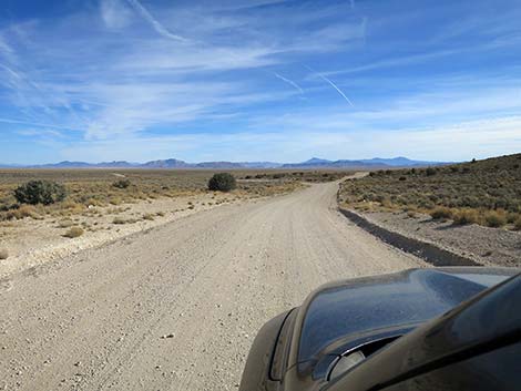 Shadow Road (view NE) |
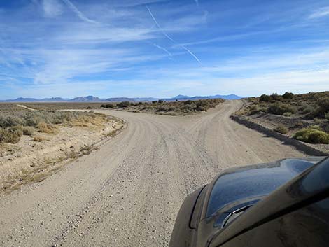 Shadow Road approaching final fork in the road (view NE) |
Final fork to the north
 Shadow Road at final fork in the road (view NE) |
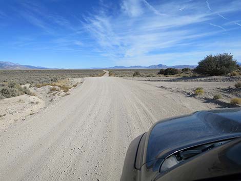 Shadow Road staying left past final fork (view NE) |
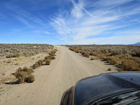 Shadow Road (view NE) |
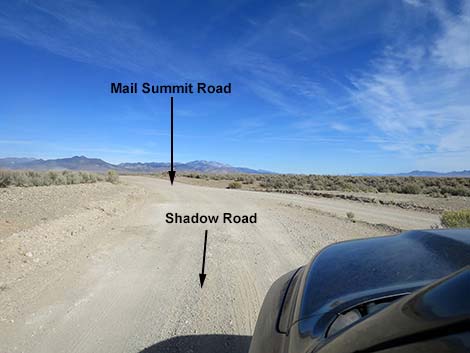 Shadow Road at Mail Summit Road (view NE) |
Final fork to the south
 Shadow Road at final fork in the road (view NE) |
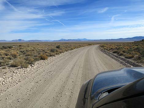 Shadow Road staying right past final fork (view E) |
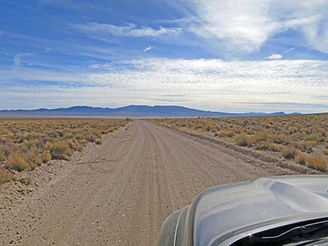 Shadow Road (view SE) |
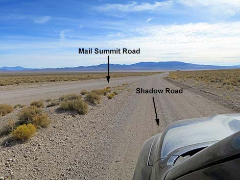 Shadow Road at Mail Summit Road (view SE) |
Table 1. Highway Coordinates and Distances based on GPS Data (NAD27). Download GPS Waypoints (gpx) file.
| Wpt. | Location | Latitude (N) | Longitude (W) | Elevation (ft) | Point-to-Point Distance (mi) | Cumulative Distance (mi) |
|---|---|---|---|---|---|---|
| 1998 | Hwy 375 at Shadow Road | 37.63128 | 115.71220 | 5,059 | 0.00 | 00.00 |
| 2003 | Shadow Rd at Shadow Wells Road | 37.65684 | 115.70853 | 4,854 | 1.80 | 01.80 |
| 2004 | Shadow Rd at Tempahute Mine Rd | 37.67330 | 115.69761 | 4,850 | 1.30 | 03.10 |
| 2005 | Shadow Rd at Pennoyer Rd | 37.73143 | 115.70725 | 4,801 | 4.15 | 07.25 |
| 1575 | Shadow Rd at side road | 37.75655 | 115.68793 | 4,849 | 2.04 | 09.29 |
| 2006 | Shadow Rd at Shadow Spring Rd | 37.79228 | 115.66995 | 4,825 | 2.65 | 11.94 |
| 1576 | Shadow Rd at side road | 37.85099 | 115.69505 | 5,016 | 4.30 | 16.24 |
| 1578 | Shadow Rd at side road | 37.87509 | 115.70843 | 5,128 | 1.91 | 18.15 |
| 2007 | Shadow Rd at Fork | 37.92062 | 115.69484 | 5,406 | 3.23 | 21.38 |
| 2008 | Shadow Rd at Side Road | 37.94879 | 115.66497 | 5,674 | 2.61 | 23.99 |
| 2009 | Shadow Rd at BRNM Boundary | 37.95548 | 115.64611 | 5,845 | 1.12 | 25.11 |
| 2010 | Shadow Rd at Fork | 37.98329 | 115.59158 | 5,611 | 3.69 | 28.80 |
| 1567 | Shadow Rd at Mail Summit Rd North | 37.98631 | 115.58842 | 5,596 | 0.27 | 29.07 |
| 1568 | Shadow Rd at Mail Summit Rd South | 37.97911 | 115.58358 | 5,575 | 0.54 | 29.34 |
Happy Hiking! All distances, elevations, and other facts are approximate.
![]() ; Last updated 241128
; Last updated 241128
| Basin and Range | Backroads | Hiking Around Las Vegas | Glossary | Copyright, Conditions, Disclaimer | Home |