
Backroads Around Las Vegas, Basin and Range National Monument

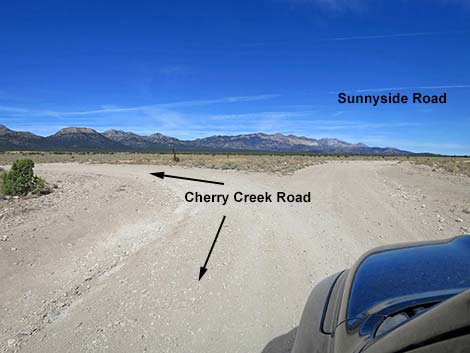 Cherry Creek Road westbound at Sunnyside Road (view NE) |
Overview Sunnyside Road is a well-maintained dirt road that normally is suitable for carefully driven 2WD vehicles. The road runs up through northern Garden Valley Cherry Creek Road on the south end and Highway 318 near Sunnyside on the north end. Sunnyside Road runs through big, open country with northing to block the view. The road passes through Kirch Wildlife Management Area and Dave Deacon Campground. Except for fishing or camping at Kirch, Sunnyside Road isn't a destination drive. Rather, it is the just fastest way for north-bound driver to exit this part of the National Monument. |
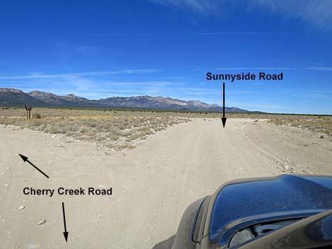 Cherry Creek Rd westbound staying right to Sunnyside Rd (view NE) |
Watch Out Other than the standard warnings about driving in the desert, ...this road is pretty safe, but be sure that your vehicle is in good working condition, carry plenty of water, and pack a lunch. Always drive carefully; even though the road is well maintained, there are occasional hazards such as errant boulders and badger burrows in the roadway and mud puddles after heavy rains. While out, please respect the land and the other people out there, and try to Leave No Trace of your passage. This road goes into remote areas, so be sure to bring the 10 Essentials. Cell phones don't work. |
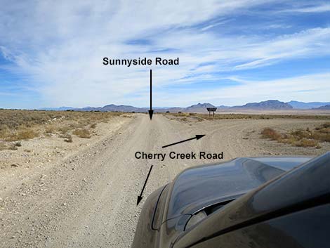 Cherry Creek Road eastbound at Sunnyside Road (view NE) |
Getting to the Road Sunnyside Road is located in the northwestern part of Basin and Range National Monument, about 4-1/4 hours (162 miles) northeast of Las Vegas driving directly, or about 2-1/2 hours (56 miles) north of the intersection of Highway 93 and Highway 318. From Las Vegas, drive north on Interstate-15 21 miles to Highway 93. Turn left onto Great Basin Highway (Hwy 93) and drive north past the towns of Alamo (95 miles from Las Vegas) and Ash Springs (102 miles) to the intersection of Highways 93 and 318 (107 miles). Gasoline is available in Alamo, Ash Springs, Rachel, and Lund. Turn left onto Highway 318 and drive west then north on Highway 318 for 17.4 miles to Seaman Wash Road on the left. Turn onto Seaman Wash Road and drive northwest 26.5 miles to a fork in the road (stay "straight" at all forks and side roads to this point). At the fork, stay right and cross to the other side of the valley where the road forks again (broad, triangular intersection). Stay left onto Cherry Creek Road and continue 11.2 miles to the intersection of Cherry Creek Road and Sunnyside Road. |
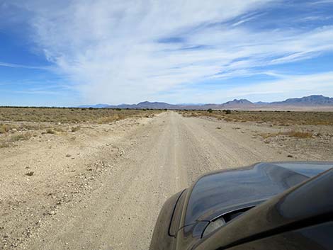 Sunnyside Road passing Cherry Creek Road (view NE) |
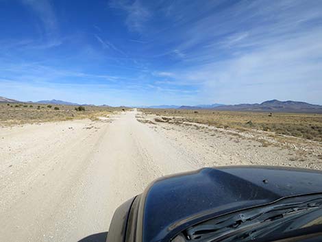
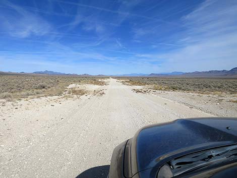
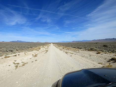
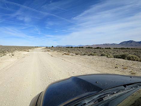
The Road From the intersection of Cherry Creek Road and Sunnyside Road (Table 1, Site 1596), Cherry Creek Road continues west into the mountains, while Sunnyside Road bends right to head northeast through Garden Valley. Sunnyside Road runs along the northwest side of Garden Valley with grand views in all directions. Garden Valley is thickly carpeted with Big Sagebrush (Wyoming Big Sagebrush), a few Silver Cholla, and a few shrubs. There are a few Utah Juniper trees, but nowhere does the vegetation block the vast views. To the west, the Grant Range stands tall above the landscape (the high point, Troy Peak, rises to 11,298 ft). To the east, the Golden Gate Range makes the backbone of the National Monument, although it has much lower elevations. In the far distance to the north, the high peaks of the Egan Range pop above the skyline from time to time. |
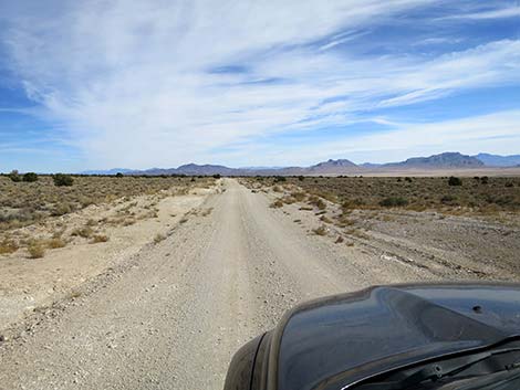 Sunnyside Road (view NE) |
Heading northeast, Sunnyside Road passes a couple of minor side roads. There are no road signs, but never is there a question about which is the main road. At about 1.9 miles out, Sunnyside Road passes a side road to the right. This road runs down about 2.0 miles to a small spring and an old corral. At about 4.7 miles out, Sunnyside Road crosses a minor road. To the right, this road runs down across the bottom of the valley, then climbs over the Golden Gate Range and drops into Coal Valley. At about 9.3 miles out, Sunnyside Road passes a side road that forks to the right where there is an odd, little fenced corral. This road runs down XXXXXXXXXXXXXXX At about 11.7 miles out, Sunnyside Road passes a memorial to Daa and Garrett Riley on the left just behind the barbed-wire fence. At about 15.2 miles out, Sunnyside Road exits the National Monument, and a boundary sign (Site 2012) stands off the left edge of the road. Past this point, the road runs across lands managed by the BLM with a bit of private lands here and there. Sunnyside Road continues to run more-or-less northeast for 17.3 miles, then bends left to run due north. At about 19.7 miles out, Sunnyside Road reaches a fork where a minor road continues straight, but the main road bends abruptly to the right. There used to be a directional sign here, but only the two uprights remain. |
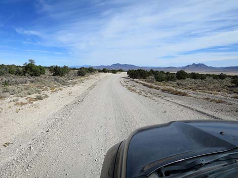 Sunnyside Road (view NE) |
Now heading east, Sunnyside Road starts down across the landscape heading towards the bottom of the valley. At about 24.5 miles out, the road passes under high-tension powerlines continuing east. At about 25.2 miles out, the road climbs over a low rise and passes an old water tank on the right. At about 27.4 miles out, Sunnyside Road bends left to avoid what appears to be a private ranch. The building are actually on Wayne Krich Wildlife Management Area (WMA). The road soon bends right to continue eastward, but now is following the bounday of the WMA. Sunnyside Road continues straight, but at about 29.3 miles out, reaches an intersection to the right with some odd yard-art. The side road goes back to the ranch. Just ahead, at about 29.5 miles out, the road bends right and enters Kirch WMA, although there are no boundary signs. |
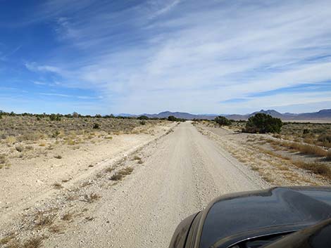 Sunnyside Road (view NE) Sunnyside Road (view NE) |
Sunnyside Road continues east, the bends gently left to run northeast. In this area, a stand of tall trees can be seen in the distance to the east. At about 30.4 miles out, still curving gently left, Sunnyside Road forks with a minor road to the right. This side road is the first part of a triangle intersection with roads leading towards the tall trees, which is Dave Deacon Campground. At about 30.6 miles out, still curving gently left, Sunnyside Road merges with a minor road from the right. This side road is the second part of a triangle intersection with roads leading into Dave Deacon Campground. There is a small sign for the campground here. |
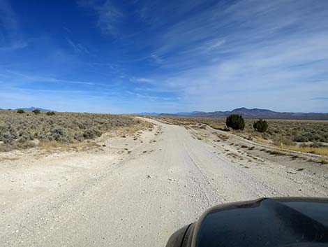 Sunnyside Road (view NE) |
Now heading more-or-less north, Sunnyside Road winds a bit through the landscape until bending northeast again about about 31.5 miles out. Then, at about 32.2 miles out, Sunnyside Road crosses a low dike across the north end of Darcy Reservoir. It is just a marsh at this point, but it offers birders a place to get out for a few minutes and listen for the calls of marsh birds coming up from the reeds and rushes. Sunnyside Road climbs out of the low valley and continues across the landscape passing the occasional minor side road. At about 34.1 miles out, Sunnyside Road passes a side road hard to the right. There are no signs, but Sunnyside Road exits Kirch WMA at this point, although the land to the right is in the WMA. A few yards farther, Sunnyside Road bends hard to the right to briefly head southeast on a low dike crossing another area that would be marshy were there more water. Passing under powerlines, Sunnyside Road finally leaves the WMA behind, and shortly crosses a cattle guard. |
 Sunnyside Road (view NE) |
Just ahead, about about 35.2 miles out, Sunnyside Road merges with Wildlife Road, from the right. Wildlife Road runs a short distance south to Sunnyside, the name sake for Sunnyside Road, although the road doesn't actually go there. Now climbing gently up the bajada, Sunnyside Road bends a bit left, then a bit right, and finally arrives at Highway 318 (Site 1605). For people who need gas, it is availably on the far side of Lund, about 36 miles north, otherwise, gas is available in Ash Spring (about 73 miles). |
 Sunnyside Road (view NE) |
 Sunnyside Road (view NE) |
 Sunnyside Road (view NE) |
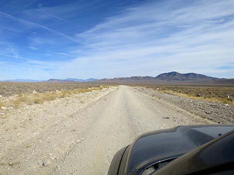 Sunnyside Road (view NE) |
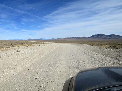 Sunnyside Road (view NE) |
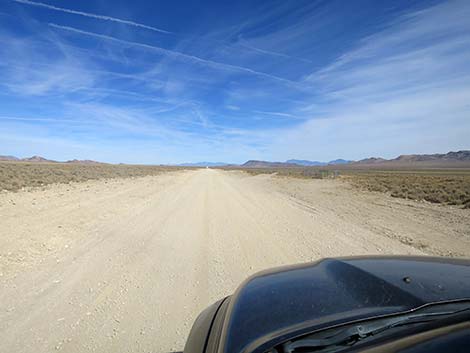 Sunnyside Road (view NE) |
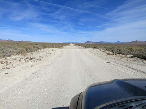 Sunnyside Road (view NE) |
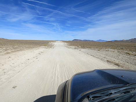 Sunnyside Road (view NE) |
 Sunnyside Road approaching memorial (view NE) |
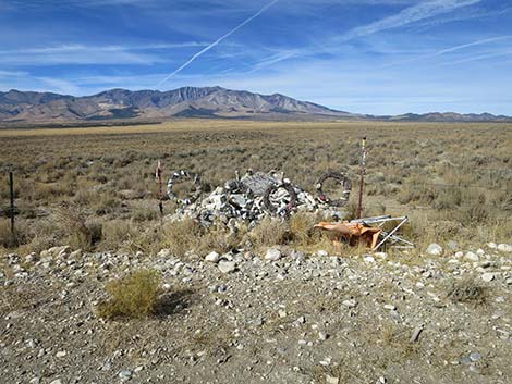 Memorial (view NW from Sunnyside Road) |
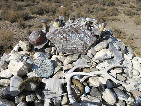 Memorial to Daa and Garrett Riley (view NW) |
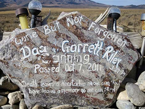 Memorial to Daa and Garrett Riley (view NW) |
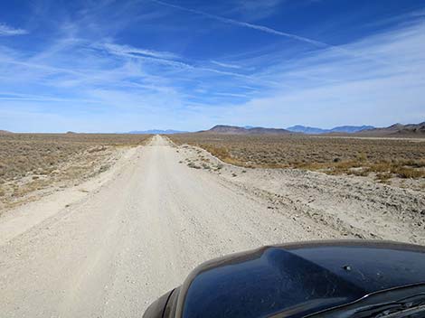 Sunnyside Road continues past the memorial (view NE) |
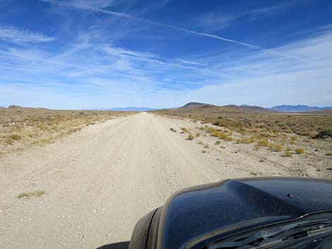 Sunnyside Road (view NE) |
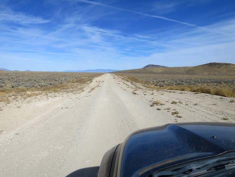 Sunnyside Road (view NE) |
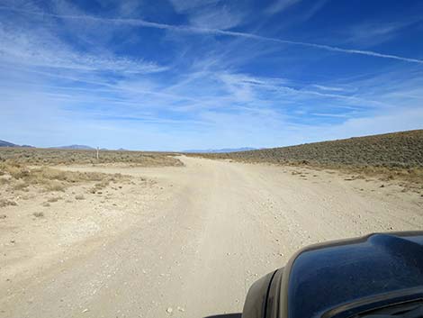 Sunnyside Road (view NE) |
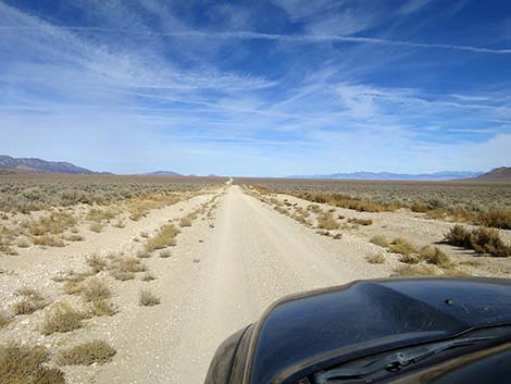 Sunnyside Road (view NE) |
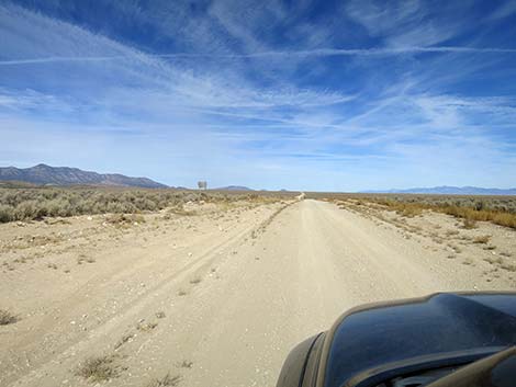 Sunnyside Road approaching Basin and Range NM boundary (view NE) |
 Sunnyside Road at Basin and Range NM boundary (view NE) |
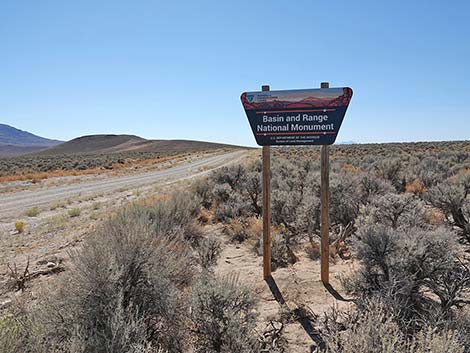 Looking back at Basin and Range NM boundary sign (view SW) |
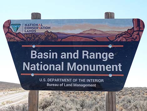 Looking back at Basin and Range NM boundary sign (view SW) |
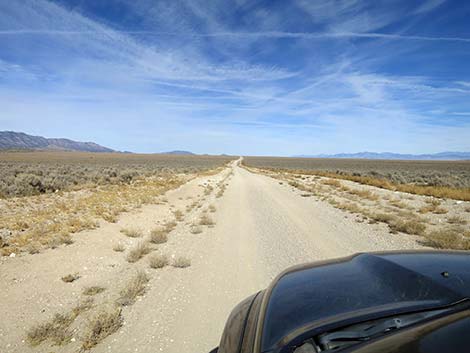 Sunnyside Road continues outside the Nat Monument (view NE) |
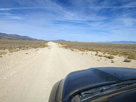 Sunnyside Road (view N) |
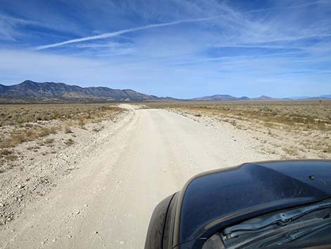 Sunnyside Road (view N) |
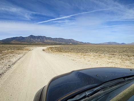 Sunnyside Road (view N) |
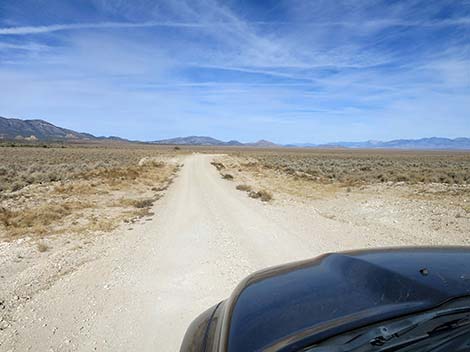 Sunnyside Road (view N) |
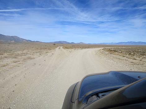 Sunnyside Road bend right (view N) |
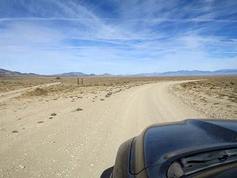 At the bend, the directional sign is missing (view N) |
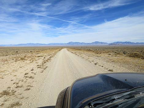 Sunnyside Road continues past the bend (view NE) |
 Sunnyside Road (view SE) |
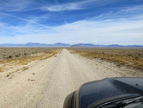 Sunnyside Road (view E) |
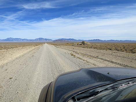 Sunnyside Road approaching a road grader (view E) |
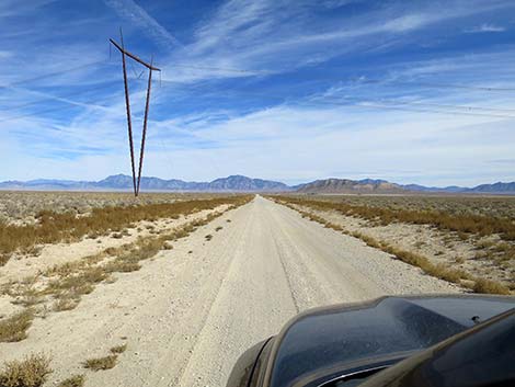 Sunnyside Road passing under power lines (view E) |
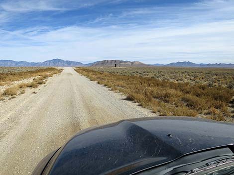 Sunnyside Road (view E) |
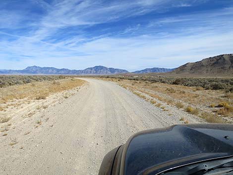 Sunnyside Road (view E) |
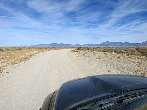 Sunnyside Road (view NE) |
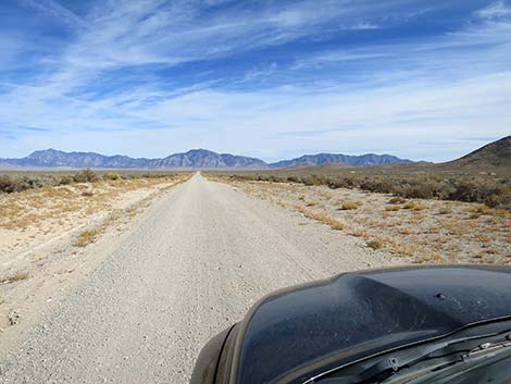 Sunnyside Road (view E) |
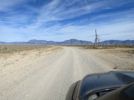 Sunnyside Road bends left past outdoor art (view E) |
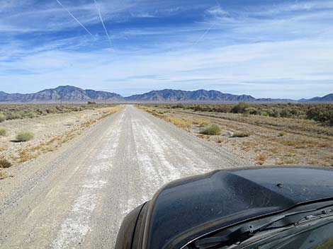 Sunnyside Road (view E) |
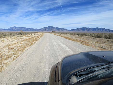 Sunnyside Road (view E) |
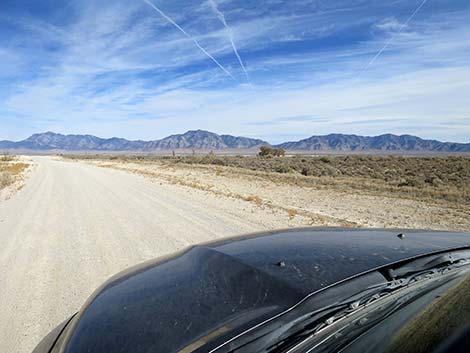 The trees at Deacon Campground come into view (view NE) |
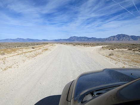 Sunnyside Rd at Deacon Campground entrance road (view NE) |
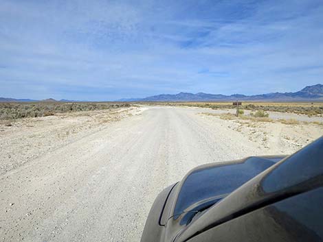 Sunnyside Rd at second Deacon Camp entrance road (view NE) |
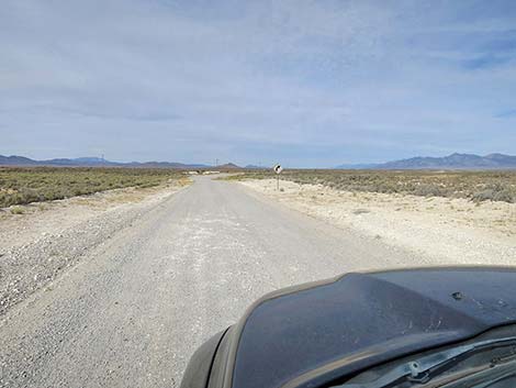 Sunnyside Rd approaching a curve to the right (view N) |
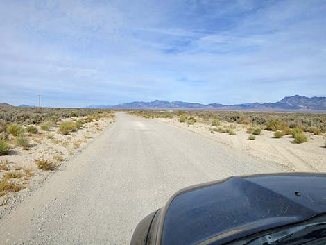 Sunnyside Road (view NE) |
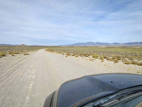 Sunnyside Road (view N) |
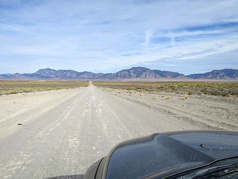 Sunnyside Road (view NE) |
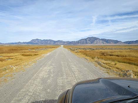 Sunnyside Road approaching Darcy Marsh (view NE) |
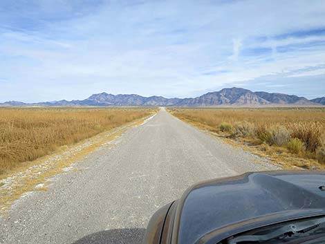 Sunnyside Road crossing dike over Darcy Marsh (view NE) |
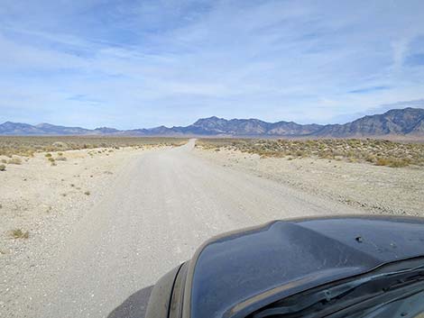 Sunnyside Road (view NE) |
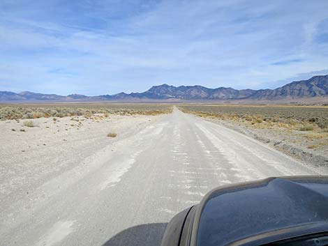 Sunnyside Road (view NE) |
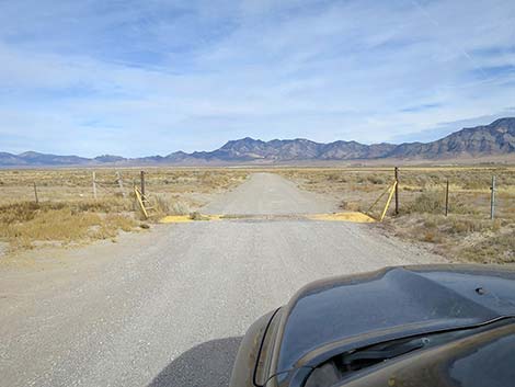 Sunnyside Road at a cattle guard (view NE) |
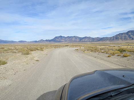 Sunnyside Road (view NE) |
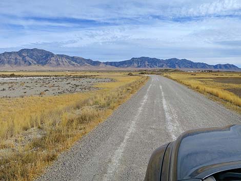 Sunnyside Road (view SE) |
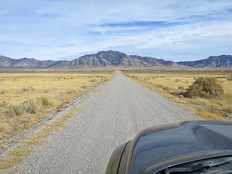 Sunnyside Road (view SE) |
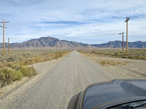 Sunnyside Road passing under power lines (view SE) |
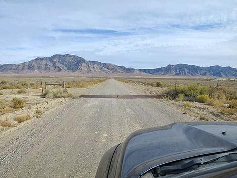 Sunnyside Road at another cattle guard (view SE) |
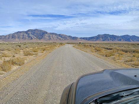 Sunnyside Road (view SE) |
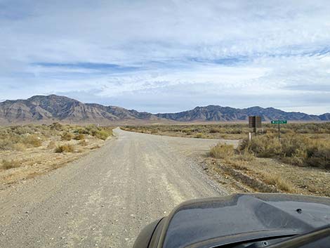 Sunnyside Road approaching Wildlife Drive (view SE) |
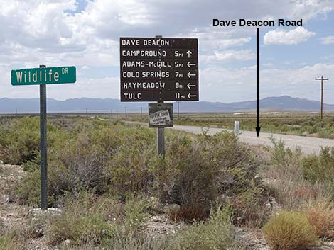 Looking back at signs at the intersection (view NW) |
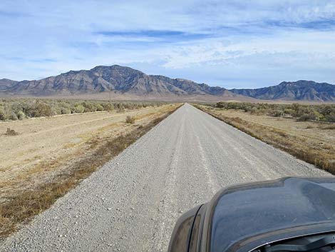 Sunnyside Road (view SE) |
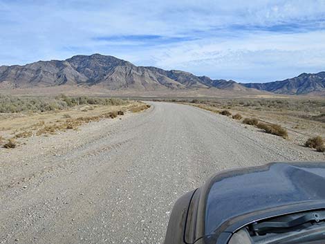 Sunnyside Road (view E) |
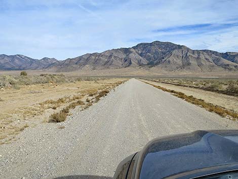 Sunnyside Road (view E) |
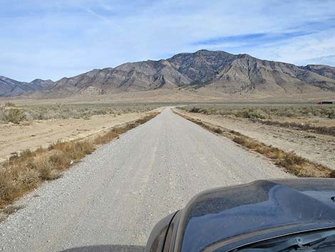 Sunnyside Road (view E) |
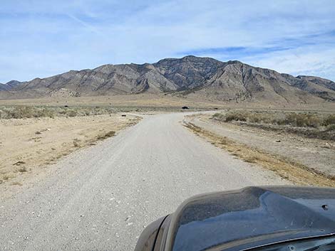 Sunnyside Road approaching Highway 318 (view E) |
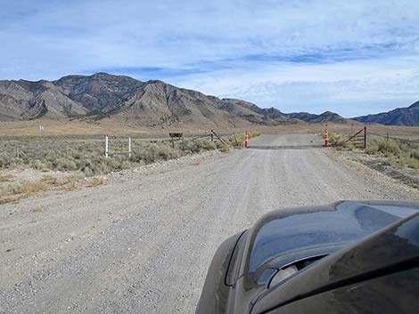 Sunnyside Road at another cattle guard (view SE) |
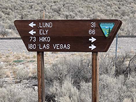 Kirch Wildlife Area north access road sign (view SE) |
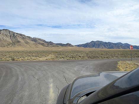 Sunnyside Road at Highway 318 (view SE) |
 More to come ... |
Table 1. Highway Coordinates and Distances based on GPS Data (NAD27). Download highway GPS waypoints (gpx) file.
| Wpt. | Location | Latitude (N) | Longitude (W) | Elevation (ft) | Point-to-Point Distance (mi) | Cumulative Distance (mi) |
|---|---|---|---|---|---|---|
| 1596 | Cherry Cr Rd at Garden Vly N Rd | 38.13377 | 115.51419 | 5,795 | 00.00 | 00.00 |
| 2012 | Sunnyside Rd at B&RNM Bndry | 38.29445 | 115.33645 | 5,446 | 15.19 | 15.19 |
| 2013 | Sunnyside Rd at Deacon Camp Rd | 38.39234 | 115.13429 | 5,214 | 15.37 | 30.56 |
| 1605 | Hwy 318 at Sunnyside Rd | 38.41493 | 115.02651 | 5,311 | 07.06 | 37.62 |
Happy Hiking! All distances, elevations, and other facts are approximate.
![]() ; Last updated 241127
; Last updated 241127
| Basin and Range | Backroads | Hiking Around Las Vegas | Glossary | Copyright, Conditions, Disclaimer | Home |