Hiking Around Las Vegas, Other Areas
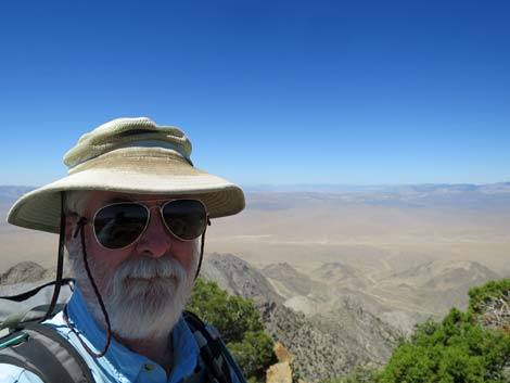 Selfie with Area 51 visible in the background (view W) |
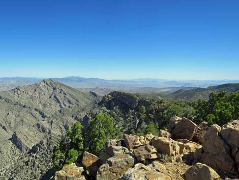
Overview Tikaboo Peak is a short, but fairly tough 1.1-mile hike leads to one of the quintessential Las Vegas hiking experiences: a view into Groom Lake and the secret military base at Area 51. The government still claims that Area 51 doesn't exist and that they don't fly captured alien spacecraft from there, but hike up and take a look for yourself. The facilities are 26 air-miles to the west, so bring high-powered optical equipment and get an early start to ensure that the sun is low and at your back for optimal viewing. Even if you don't see any UFOs, the views are spectacular and give the impression of being on top of the world. Presented here are summit views. For a detailed description of the route, including directions, maps, GPS coordinates, and photos, see Tikaboo Peak. |
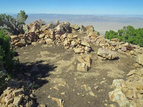 Cleared summit area (view W) |
 Cleared summit area (view SW) |
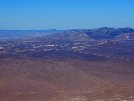
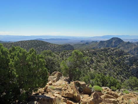
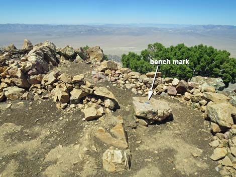 Cleared summit area (view W) |
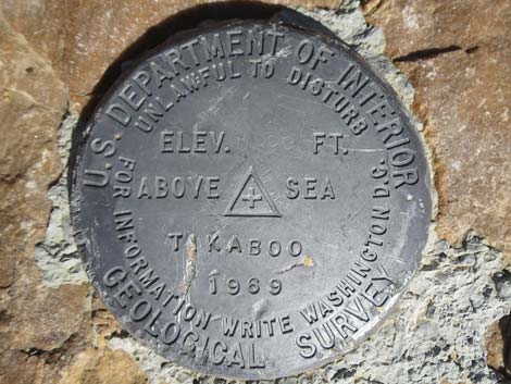 Tikaboo bench mark set in 1969 |
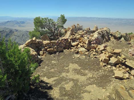
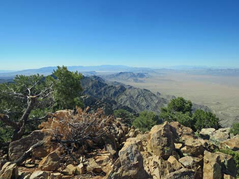
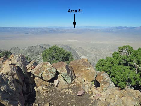 Edge of summit area (view W into Area 51) |
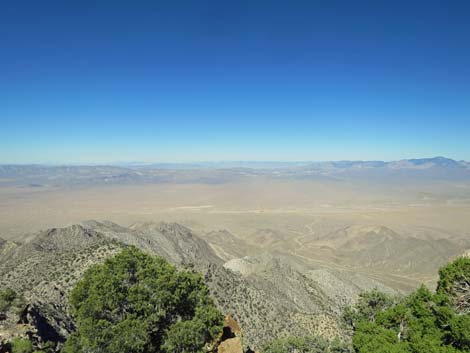 View W into Area 51 |
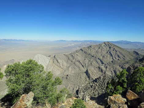
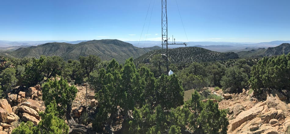
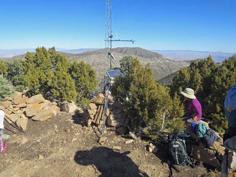 Badger Peak behind the tower (view E) |
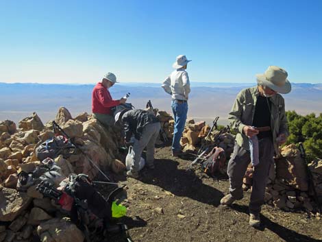 Hikers on the summit (view W towards Area 51) |
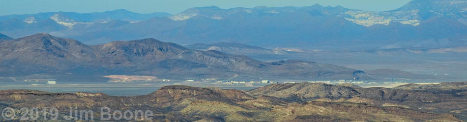
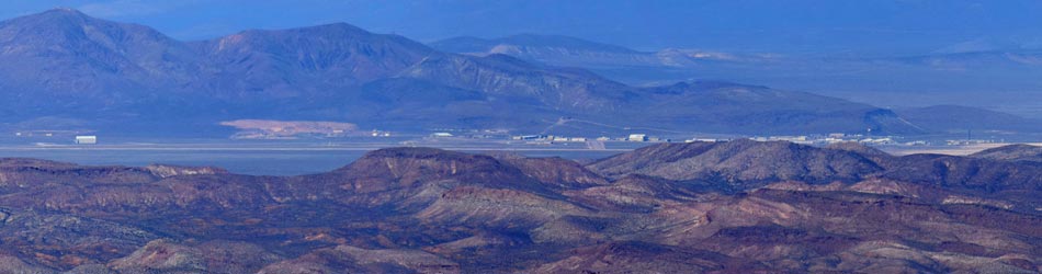
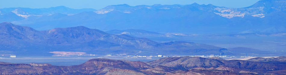
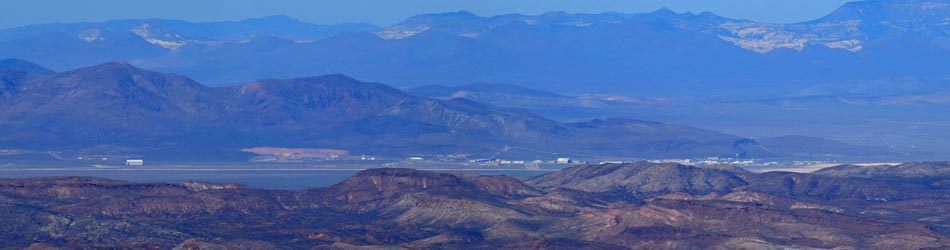
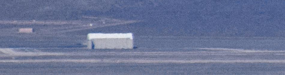
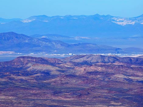 Area 51 buildings and airstrip (telephoto; view W) |
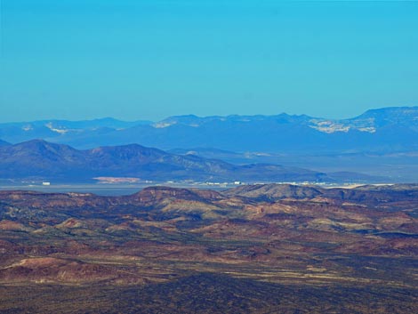 Area 51 buildings and airstrip (telephoto; view W) |
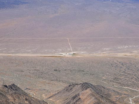
 Groom Lake Road (telephoto; view NW) |
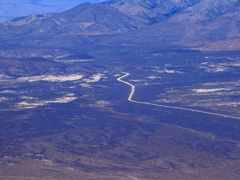 Groom Lake Road (telephoto; view NW) |
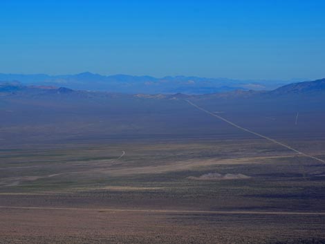 Groom Lake Road, Highway 375, Coyote Summit (view NW) |
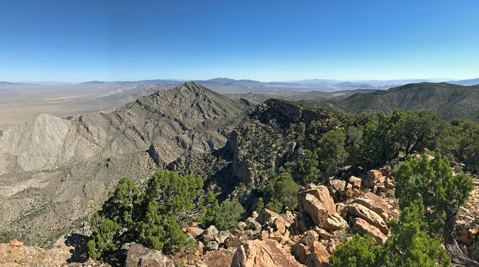
 Tikaboo Ridge (view N) |
 Mt. Irish (view N) |
 Mt. Irish, Seaman Range, and Hiko Village (view NE) |
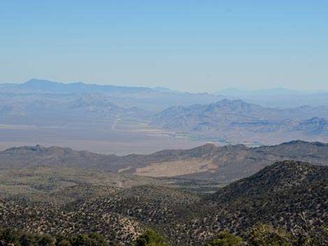 Seaman Range and Hiko Village (view NE) |
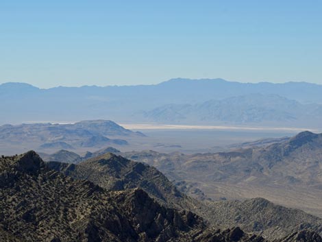
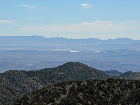 Delamar Dry Lake (view E) |
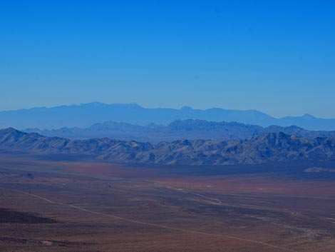
 Badger Valley (view SE) |
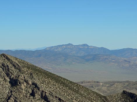
 Sheep Range and Spring Mountains (view S) |
 Sheep Range and Desert Dry Lake (view S) |
 Spring Mountains (view SW) |
 Tikaboo Valley cattle tanks (view W) |
 More to come ... |
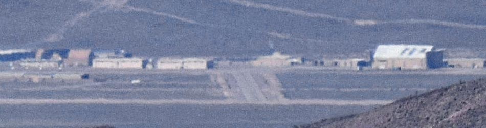
Area 51 Buildings
Area 51 Buildings
Area 51 Buildings
Area 51: Large, isolated aircraft hanger at south end of the facility
Area 51: Airstrip and buildings near the middle of the facility (view W)
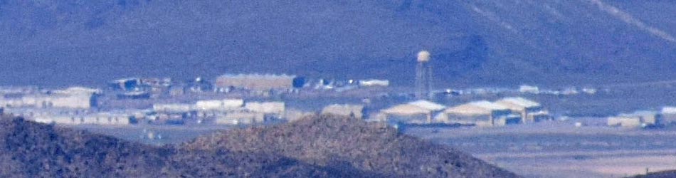
Area 51: Buildings and water tower near the north end of the facility (view W)
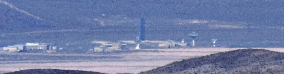
Area 51: Buildings, curious black triangular tower, and radio transmitter towers at the north end of the facility (view W)
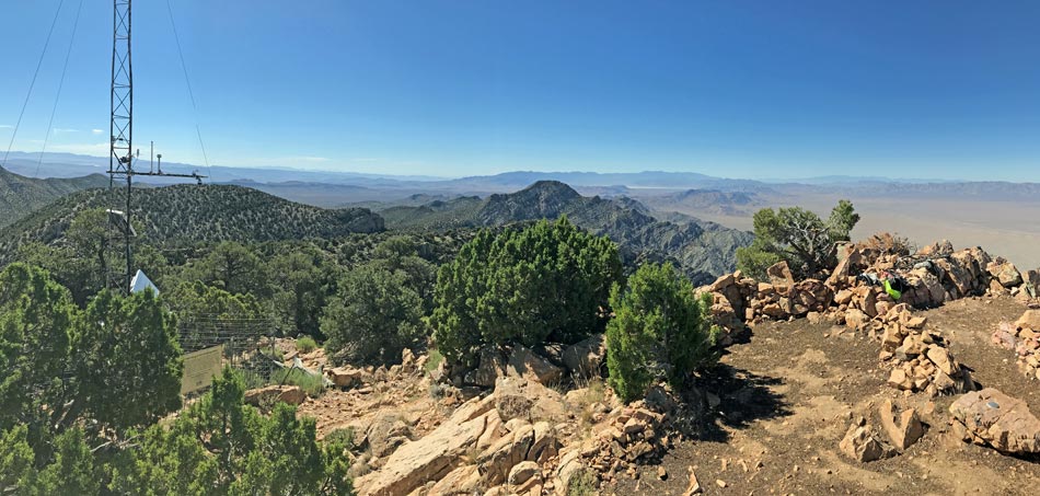
Panorama: southeast to southwest
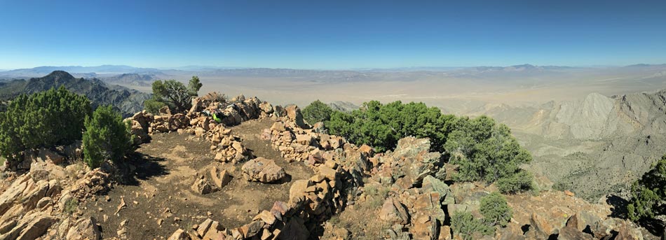
Panorama: southwest to northwest
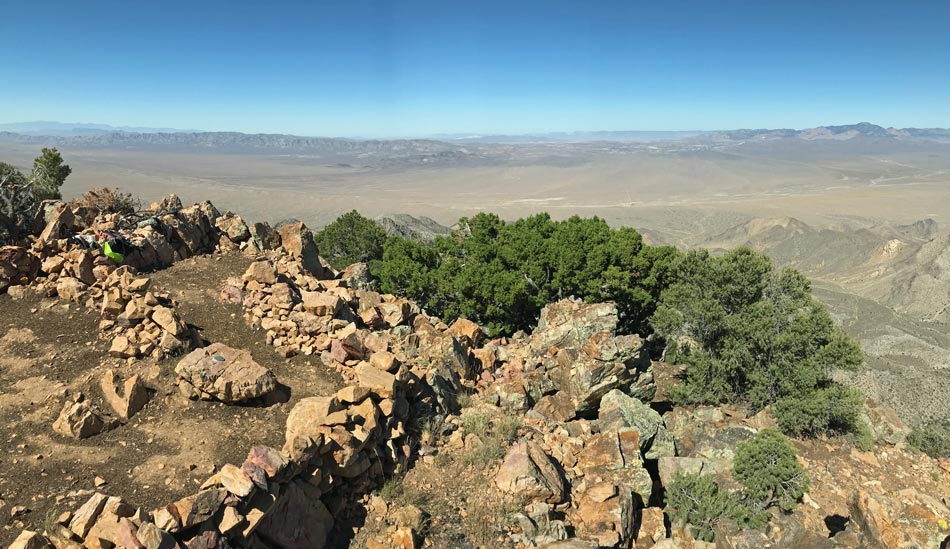
Panorama: southwest to northwest
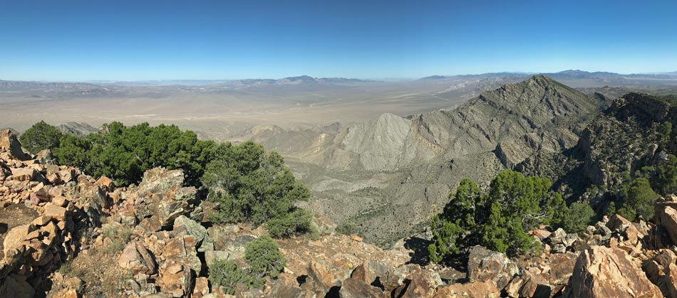
Panorama: northwest to north
Panorama: north to northeast
Panorama: northeast to southeast
Happy Hiking! All distances, elevations, and other facts are approximate.
![]() ; Last updated 240324
; Last updated 240324
| Hiking Around Las Vegas | Glossary | Copyright, Conditions, Disclaimer | Home |