Hiking Around Las Vegas, Death Valley National Park
 |
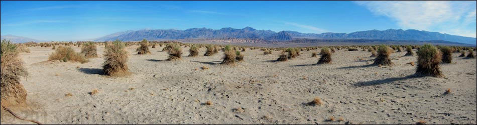
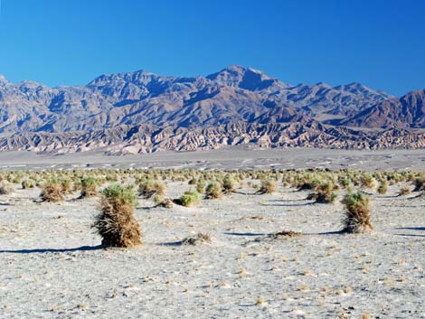
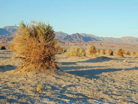
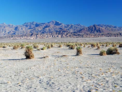
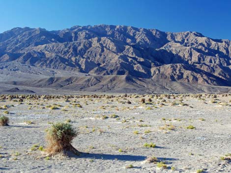
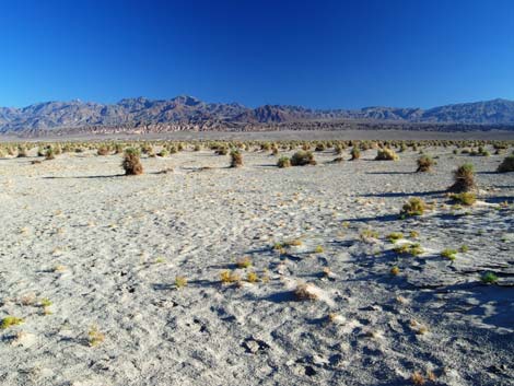
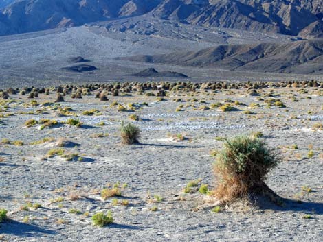
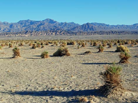
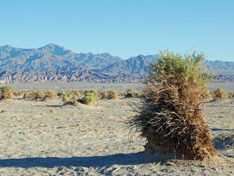
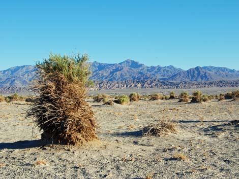
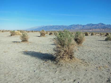
Overview Devils Cornfield is a broad, open area out on bottom of Death Valley were shrubs grow and collect wind-blown soils around their base. As soil accumulates, the shrub grows higher, resulting in shrubs growing on tall, narrow mounds resembling harvested sheaves of corn (note that this area was named back when corn was harvested by hand). The shrubs are Arrowweed, a salt-tolerant desert species that grows where moisture is close to the surface. They also tend to grow upright with long, straight stems, a characteristic that facilitates the sheaves-of-corn shape. In the spring, the haystacks have blue tops due to the profusion of flowers. Link to map. |
 |
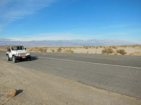
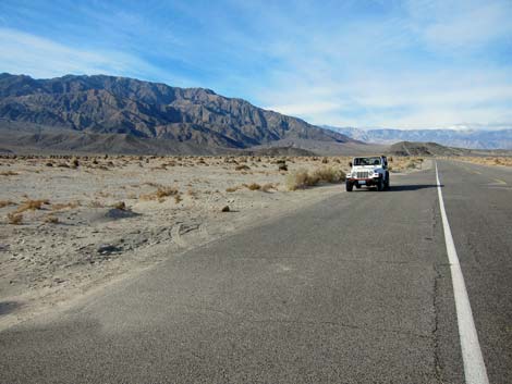
Watch Out Other than the standard warnings about hiking in the desert, ... this area is about as safe as it gets, but be careful along the highway. The parking is narrow, and the passing vehicles are fast. While out, please respect the land and the other people out there, and try to Leave No Trace of your passage. Also, this is a short hike, so just bring what you need of the 10 Essentials. For those who wander beyond the parking area, the walk goes into the Death Valley Wilderness Area, so pay particular attention to respecting the land. |
 |
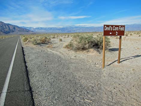
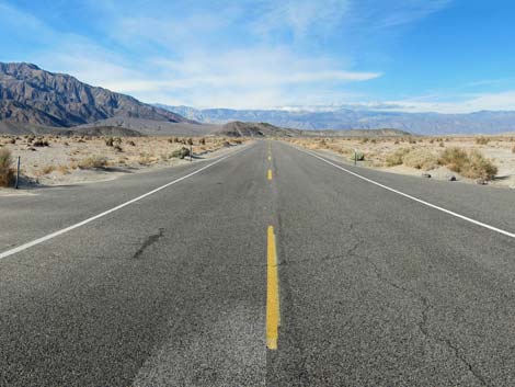
Getting to Devils Cornfield Devils Cornfield is located along Highway 190 in the north end of Death Valley National Park, about 2 hours northwest of Las Vegas. From town, drive out to Death Valley. From the Furnace Creek Visitor Center (Table 1, Site 0712), drive north on Highway 190 for 17.4 miles to Scotty's Castle Road (Site 0763). Continue on Highway 190 for another 2.5 miles to the parking area (Site 748), which are paved wide spots on both sides of the highway. Park here; this is the place. |
 |
 |
 |
 |
 |
 |
 |
 |
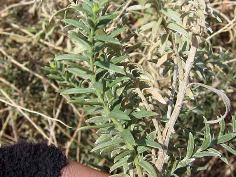 Arrowweed |
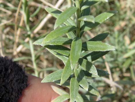 Arrowweed |
 |
 |
 |
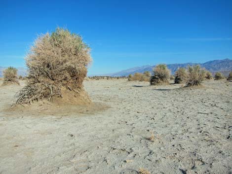 |
Table 1. Highway Coordinates Based on GPS Data (NAD27; UTM Zone 11S). Download Highway GPS Waypoints (*.gpx) file.
| Site | Location | UTM Easting | UTM Northing | Latitude (N) | Longitude (W) | Elevation (ft) | Verified |
|---|---|---|---|---|---|---|---|
| 0182 | Devils Cornfield Parking | 493655 | 4052103 | 36.61625 | 117.07095 | 78 | Yes |
| 0712 | Furnace Creek Visitor Center | 512030 | 4034954 | 36.46159 | 116.86574 | 186 | Yes |
| 0751 | Hwy 190 at Stovepipe Wells | 486984 | 4051062 | 36.60679 | 117.14554 | 0 | Yes |
| 0763 | Hwy 190 at Scotty Rd | 496847 | 4054634 | 36.63908 | 117.03527 | 104 | Yes |
Happy Hiking! All distances, elevations, and other facts are approximate.
![]() ; Last updated 240324
; Last updated 240324
| Death Valley | Hiking Around Las Vegas | Glossary | Copyright, Conditions, Disclaimer | Home |