
Hiking Around Las Vegas, Death Valley National Park

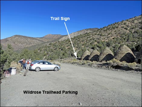 Wildrose Charcoal Kilns Trailhead Parking (view N) |
Overview This very strenuous, 4.2-mile hike lulls hikers into a false sense of tranquility as it wanders into the Death Valley Wilderness Area at nearly-level grade for the first mile or so, then it surprises when it turns and runs straight up the hillside to a saddle, lulls hikers back into a false sense of tranquility as it wanders along another nearly-level section, tires you out on another steep section, and then kicks your rear on the final steep climb to the summit (9,064 ft). There are some switchbacks near the summit, but they seem more like a rude joke after the long steep trail. The views from many points along the trail and the summit are worth the effort, and the overview of Death Valley is better than most. Although much shorter than the trail up Telescope Peak, this hike seems far harder. Link to map or elevation profile. Link to Summit Photos or Photos of the Descent. |
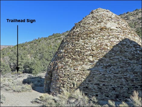 Trail sign by last charcoal kiln (view N) |
Watch Out Other than the standard warnings about hiking in the desert, ...this is safe hike on a good trail, but stay off the ridges if lightning threatens. Bring more water than you think you might need for an 8.4-mile hike. There is no drinking water at the trailhead or along the trail; the last water stop is Wildrose Campground. While hiking, please respect the land and the other people out there, and please try to Leave No Trace of your passage. Also, this is a long hike, so be sure to bring the 10 Essentials. This hike runs up into the Death Valley Wilderness Area, so pay particular attention to respecting the land. |
 |
Getting to the Trailhead This hike is located in Death Valley National Park, about 4 hours northwest of Las Vegas. From town, drive out to Death Valley, then continue on westbound Highway 190, past Stovepipe Wells to Emigrant Canyon Road. Turn left onto Emigrant Canyon Road and drive up into the mountains, eventually arriving at Wildrose Trailhead, the details of which are on the Telescope Peak Area Trailheads webpage. Park here; this is the trailhead. The last 0.7 miles to Mahogany Flat Campground might require a 4WD vehicle or a hike. |
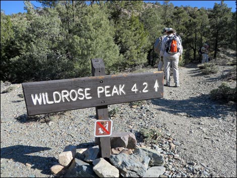 |
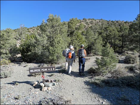
The Hike From the trailhead (Table 1, Waypoint 01), the trail starts across the road past the north-most (farthest) charcoal kiln. Along the way, stop to investigate the charcoal kilns. The architecture and workmanship are remarkable. A bunch of skilled laborers put in a serious amount of effort building these kilns back in the 1870s. From the trail sign (Wpt. 02) by the last kiln, the trail quickly climbs onto a bench above a narrow band of cliffs and runs north at a gentle grade. As the trail runs out, the floor of the canyon drops away, quickly giving nice views and the feeling of being high on the hillside. The vegetation is an open Pinyon-Juniper Woodland with sagebrush, Ephedra, Cliffrose, bunch grasses, Indian paintbrush, and few annual flowers. The stumps of trees possibly cut for the kilns or road building are still visible on the hillside. Keep an eye out for fence lizards along the trail. |
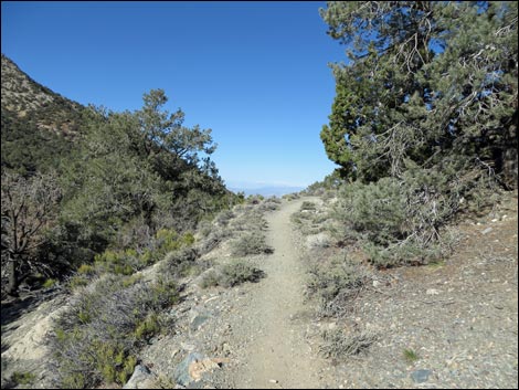 |
The first mile of the trail runs on the old logging road, and where the old road crosses washes, hikers can see that the kiln-builders used logs and stones to build up the roadbed. Farther out, the old road runs along a hillside, and hikers can see where they stuck logs into the hillside to build a platform to shore up the road. Weathered old stumps, left behind during construction, can be seen on the hillside. The trail runs northwest for about 0.41 miles to the first corner where the trail turns right and runs up Wildrose Canyon. From the corner (Wpt. 03), atop a little cliff, hikers get a grand view down the canyon past Wildrose Campground and out across the Panamint Valley. The view east isn't so grand, but it is the crest of the Panamint Mountains, with Death Valley down the other side. For hikers just out for a nice stroll in the mountains, this is a good place to stop, have lunch, and turn back. |
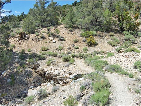 Stone and woodwork holding up historic road (view N) |
Turning the corner and heading east, the trail runs up the wide canyon continuing at the same gentle grade as before, but now the bottom of the canyon starts coming up to meet the trail. Ahead in the distance, hikers can see the ridge that the trail climbs onto, and before long Wildrose summit comes into view too (off on the left). By about 1.00 miles out, the bottom of the canyon comes up to meet the trail (Wpt. 04), at which point, the trail runs out into the wash and follows it up the canyon. There are many large singleleaf pinyon pine in the bottom of the canyon, giving plenty of shade. The trail runs in the wash, but there is enough dirt mixed with the gravel to make the walking easy, although at a moderate grade. |
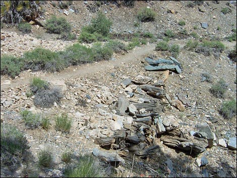 Looking back at stone and timbers holding up historic road (view SE) |
Continuing up the wash, at about 1.4 miles out, the trail suddenly turns out of the wash (Wpt. 05) and climbs steeply up the forested hillside. The trail runs at off-trail grades where it would only be a little more difficult if there were no trail at all. However, after only about 0.50 miles, the trail arrive on a saddle (Wpt. 06) at the crest of Panamint Range. Here in the trees, it is hard to see the view, but just ahead the effort to reach this point rewards hikers with great views down into Death Valley, some 8,000 feet below. From the saddle (Wpt. 06), the trail crosses onto the east side of the ridge and runs north on a gentle grade with more views of Death Valley. After running north along the hillside for about 0.2 miles (Wpt. 07), the trail turns back to the west and climbs a moderately steep hillside. The vegetation still is a pinyon-juniper forest with sagebrush, mormon tea, a shrubby buckwheat, and cliffrose, but on this hot, dry slope, the trees are smaller and spread farther apart than they are on the other side of the ridge. |
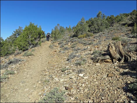 Old stump, perhaps cut for charcoal? (view N) |
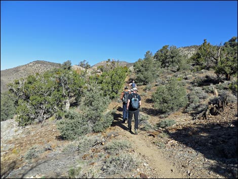
At about 2.5 miles out, the trail crosses the crest (Wpt. 08) back onto the west side of the ridge, although the ridge is broad at this point and there is hardly a noticeable change in the grade. The trail "meanders along a forested ridge" at a pretty good grade, then levels out (Wpt. 09), and eventually drops into a saddle (Wpt. 10) at the base of the southwest summit ridge, which is 3.1 miles out. The saddle is narrow with steep sides at this point, and there are more nice views to the northeast into Death Valley and to the southwest into the canyon that the trail ran up. There are some interesting rocky outcrops along the ridge too. There is an outcrop of quartz and some rocks that look granitic, despite the fact that most of the mountain range is metamorphic. It is also interesting that near the quartz areas, there is a green hue to the metamorphic rock. There must be an interesting geology story here. |
 |
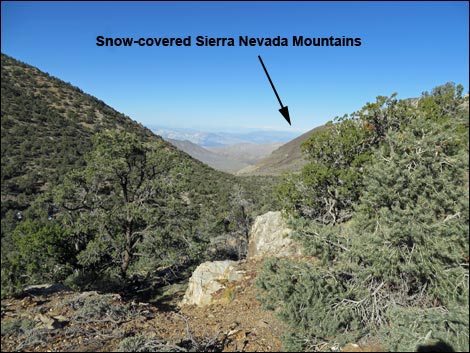
From the saddle (Wpt. 10), the trail runs gentle, then steeply (Wpt. 11) up the east side of the ridge towards the peak. After about 0.1 miles on the steep slope, the trail forks (Wpt. 12). During winter, when snow lies deep on north-facing slopes, it is useful to take the left fork, which stays on the sunny side of the ridge, but this is not the official trail. Otherwise, just stay on the regular trail. The trail runs through a widely spaced pinyon-juniper forest most of the way up, so there are lots of places to stop and rest in the shade, and there are also lots of nice views down into Death Valley. After climbing steeply for 0.28 miles, the official trail turns left, crosses onto the south side of the ridge, and starts switchbacking (Wpt. 13) up the hillside. At this point, the sunny-slope route rejoins the regular trail. While hiking up the trail, it seemed strange that the NPS would start switchbacks at this point because the angle of the hillside seemed to be less than down below where the trail ran straight up the ridge. Further, the angle of the switchbacks seemed so slight that one wonders what's the point? However, on the way down I realized that in fact, the switchbacks were steep, and I was glad to use them to save my knees. |
 |
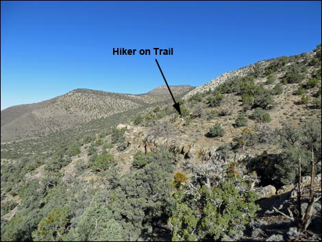
Eventually, the trail climbs onto the south end of the nearly level summit plateau (Wpt. 14), where there is another outcrop of quartz near the trail. From here it is a 0.2-mile stroll over to the actual summit. The trail follows the edge of the ridge, which is broad and flat, giving more great views into the valley. The summit (Wpt. 15), 4.2 miles out, is broad and flat, which is not what would be expected from such a steep hike. The vegetation is sparse, low-growing, and dominated by sagebrush, mormon tea, Grizzlybear Pricklypear Cactus (a variety with long spines), plus a few grasses, annuals, and a composite shrub. There are no trees on the summit, but there are a few prostrate singleleaf pinyon pines just off the edge. The stone is platy metamorphic cobbles, but not as platy as in other places, and there are no large rocky outcrops on the summit. Even the USGS survey marker is set off the summit for lack of somewhere firm to set it. People have had fun piling up what rocks they could find, making a mound on the summit with a few stone-hedge monuments set about. There is no shade on the summit. |
 |
The views truly are spectacular. The overview of Death Valley is better than most, and because the east face is so steep, hikers even get a good view of the layered rocks that form the east side of the Panamint Range. Far to the east, Mt. Charleston and other mountains in Nevada can be seen. To the west, the Sierra Nevada Mountains in California stand on the farthest horizon. To the south along the Panamint Range are the summits of Rodgers, Bennett, and Telescope peaks. To the north, Tucki Mountain and other mountain ranges fade into the distant haze. To get back to the trailhead, hikers could cut straight down the south side of the mountain, which wouldn't be much steeper than the trail, but it might be better to just follow the trail back down. Follow the trail, see if you don't agree that the switchbacks are nice for going down. |
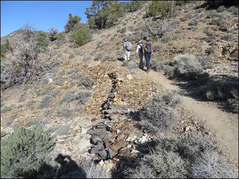 Stone and woodwork holding up historic road (view N) |
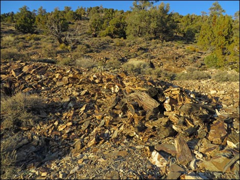 Stone and woodwork holding up historic road (view N) |
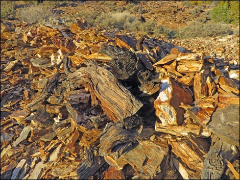 Stone and woodwork holding up historic road (view N) |
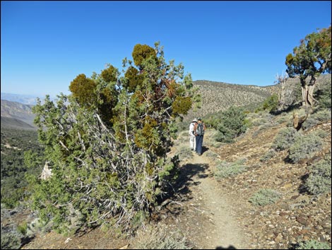 Juniper tree loaded with mistletoe (view N) |
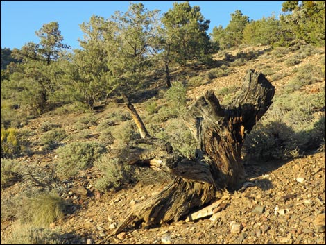 Old stump, perhaps cut for charcoal? (view N) |
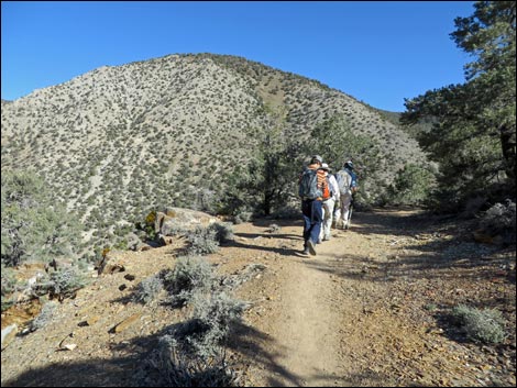 Hikers passing the Wildrose Canyon Overlook (view N) |
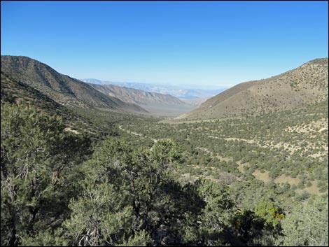 Wildrose Canyon Overlook (view W) |
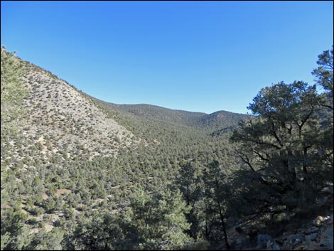 Wildrose Canyon Overlook (view NE) |
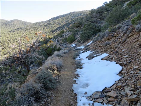 Patch of snow along trail (view NE) |
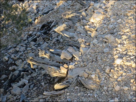 Stone and woodwork holding up historic road (view NE) |
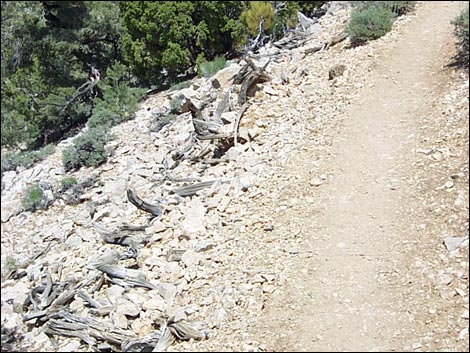 Stone and woodwork holding up historic road (view NE) |
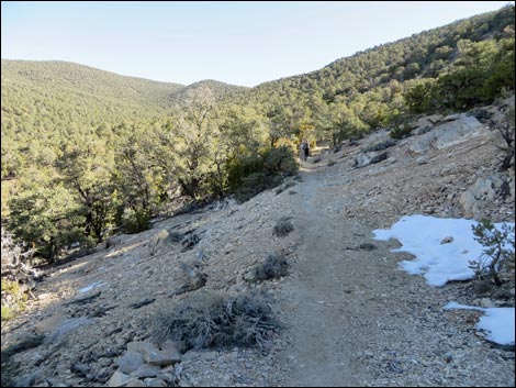 Hikers ahead on the old road (view NE) |
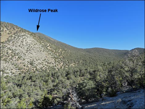 Summit of Wildrose Peak comes into view (view N) |
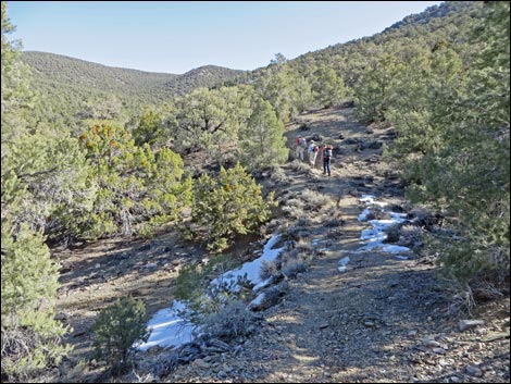 Hikers ahead on the old road (view NE) |
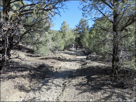 Old road trail runs down into wash (view NE) |
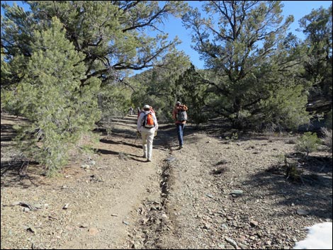 Old road trail in wash (view NE) |
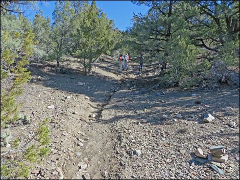 Trail suddenly gets steep (view E) |
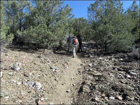 Steep trail (view E) |
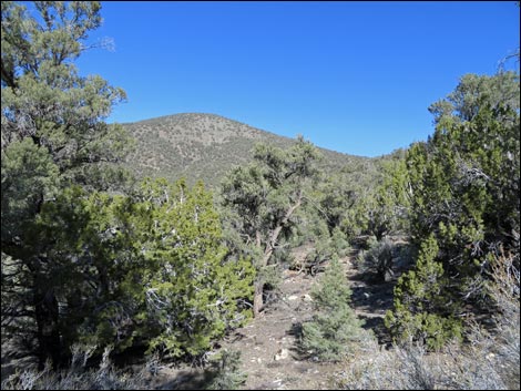 Summit of Wildrose Peak seen through the trees (view N) |
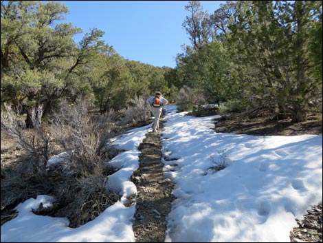 Snow and trail on steep hillside (view SE) |
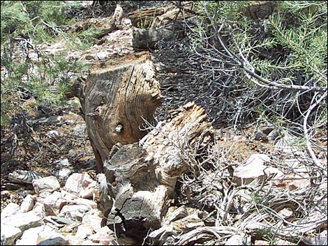 Old stump, perhaps cut for charcoal? (view N) |
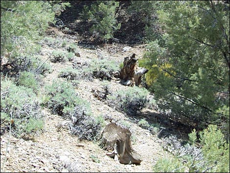 Old stump, perhaps cut for charcoal? (view S) |
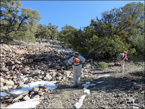 Snow and trail on steep hillside (view SE) |
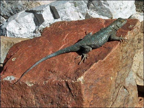 Western Fence Lizard sunning on rock (during summer) |
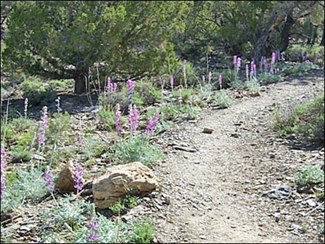 Flowers on steep hillside (during summer) |
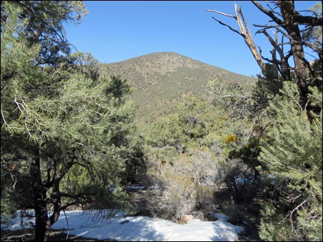 Summit of Wildrose Peak seen through the trees (view N) |
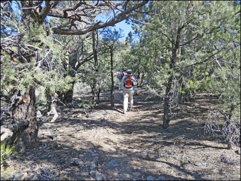 Grade levels as hiker approaches Crest of the Panamints (view NE) |
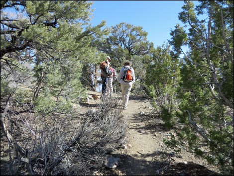 Hikers on Crest of the Panamints (view NE) |
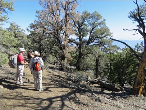 Just beyond crest, hikers with view into Death Valley (view NE) |
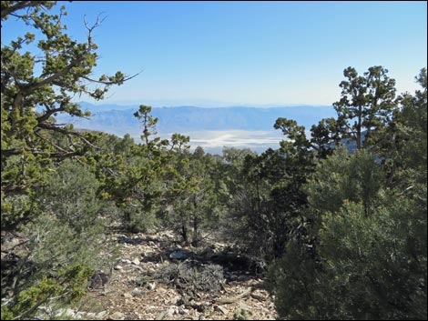 Death Valley (view E from trail) |
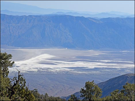 Badwater and Dante's View (view E from trail) |
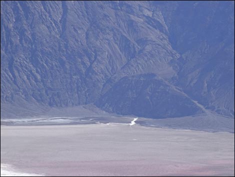 Badwater (view E from trail) |
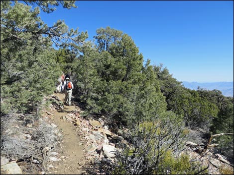 Hikers on gentle trail (view NE) |
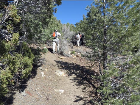 Hikers on steep trail (view N) |
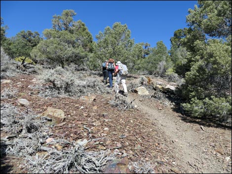 Hikers on steep trail (view N) |
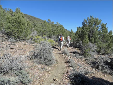 Hikers on gentle trail (view NE) |
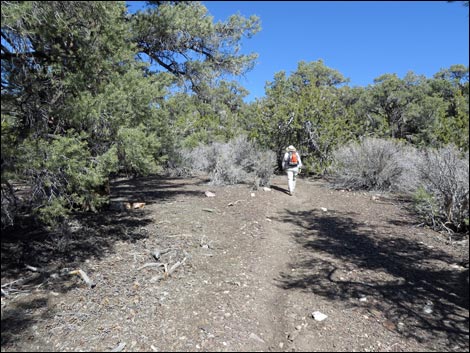 |
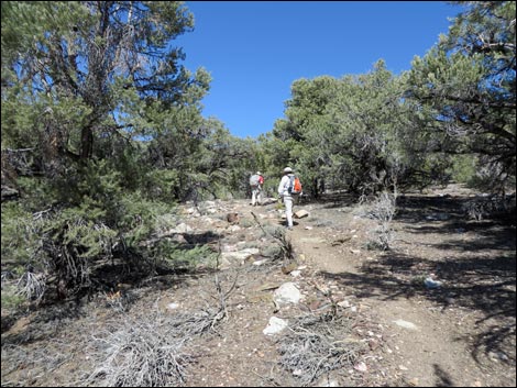 |
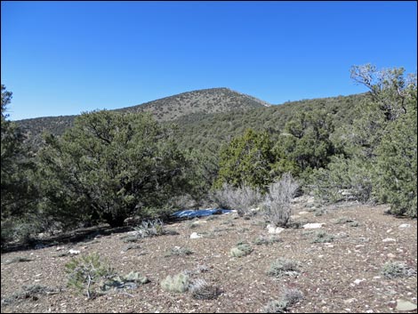 Summit of Wildrose Peak seen through the trees (view NW) |
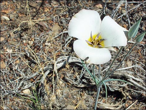 Panamint Mariposa Lily (Calochortus panamintensis) during summer |
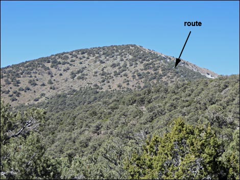 Summit of Wildrose Peak seen through the trees (view NW) |
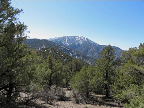 Summits of Rogers and Telescope peaks (view S) |
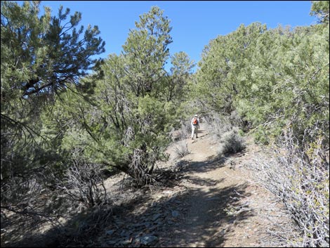 Gentle terrain (view NW) |
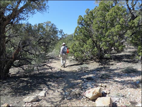 More gentle terrain (view NW) |
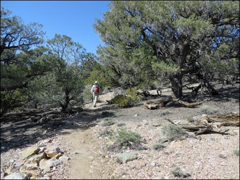 Even more gentle terrain (view NW) |
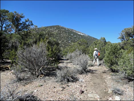 Summit comes back into view (view NW) |
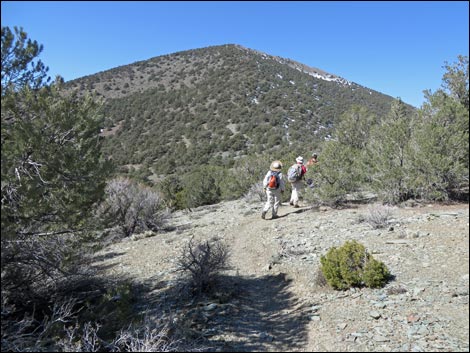 Hikers anticipating the steep finish (view NW) |
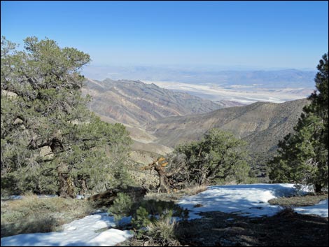 Northern Death Valley (view NE from just off trail) |
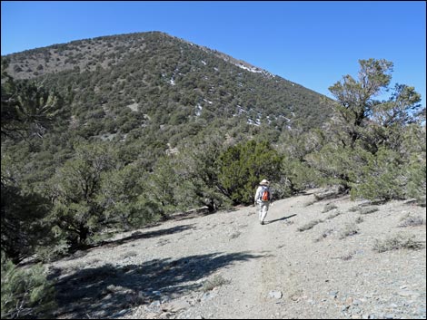 Summit slopes looming steeper (view NW) |
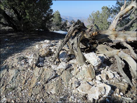 Odd dike of white rock and dead juniper |
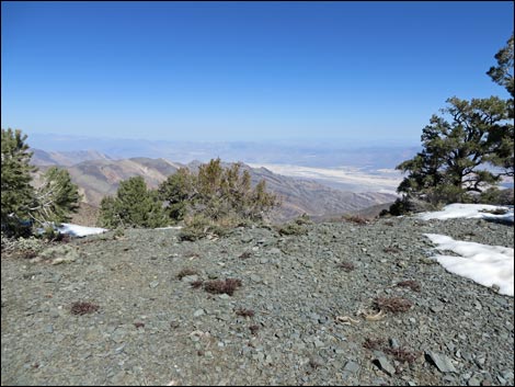 Near the Second Saddle, lunch with a view (view NE) |
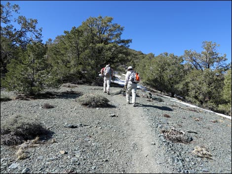 Starting the final steep ridge (view NW) |
 |
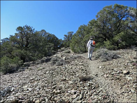 |
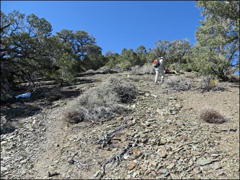 Steep trail (view NW) |
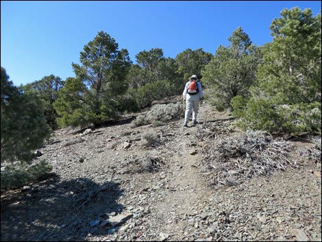 Steep trail (view NW) |
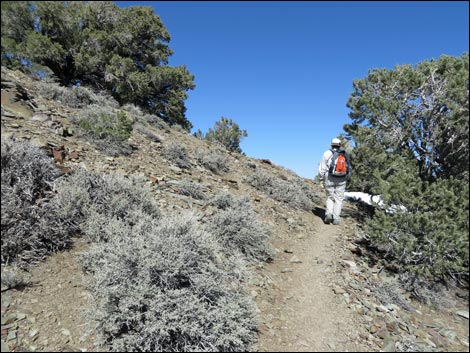 Finally, a few switchbacks to ease the grade (view NE) |
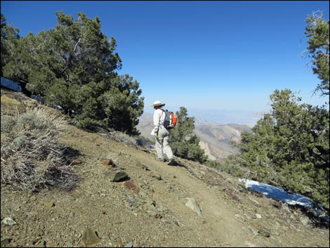
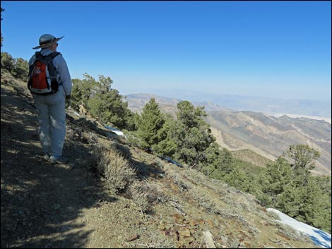
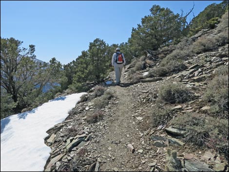
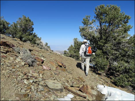 Switchbacks ease the grade (view NE) |
 |
 |
 |
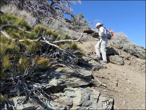 |
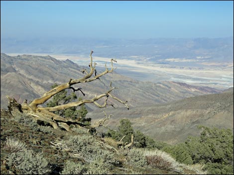 Grand views off the trail into Death Valley (view NE) |
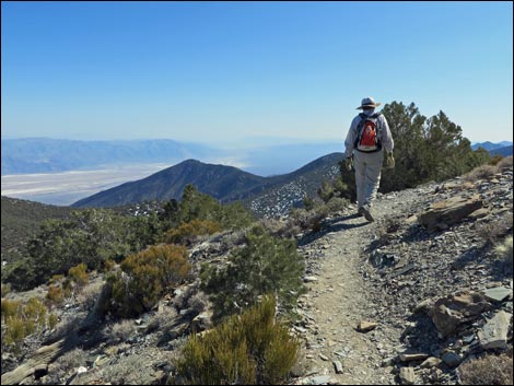 Hiker on gentle switchback (view SE) |
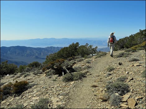 Nearing the summit plateau (view E to the Sierra Nevada Mts) |
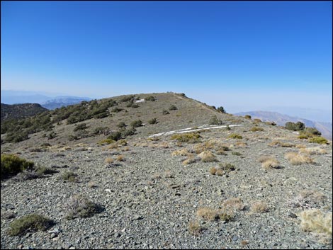 Summit plateau (view NW) |
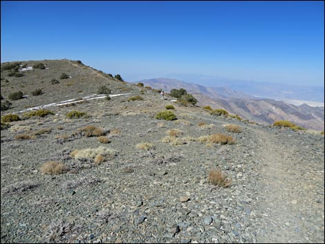 Hiker crossing summit plateau (view NW) |
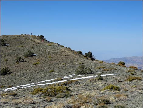 Hikers approaching the summit (view NW) |
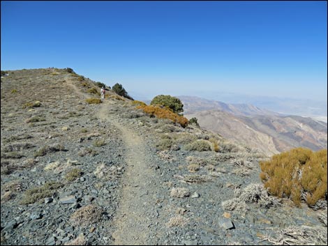 Hiker approaching the summit (view NW) |
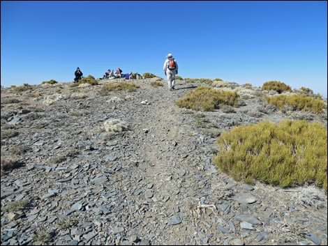 Hiker arriving on summit (view NW) |
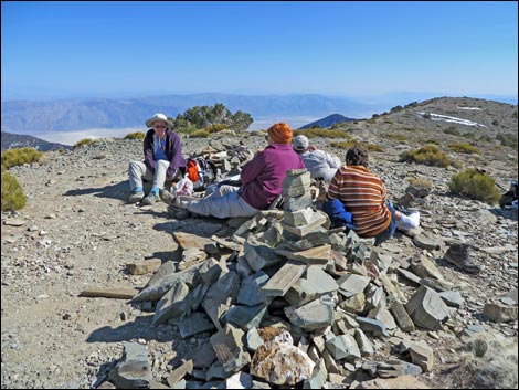 Hikers on summit (view SE) |
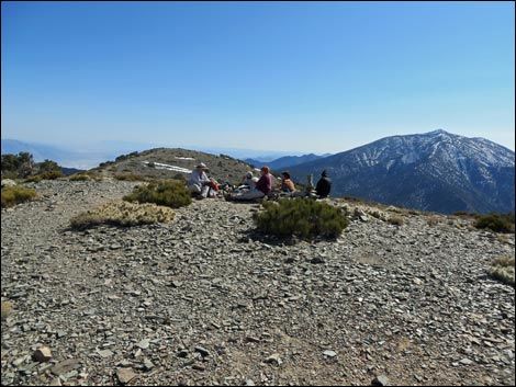 Hikers on summit (view S towards Telescope Peak) |
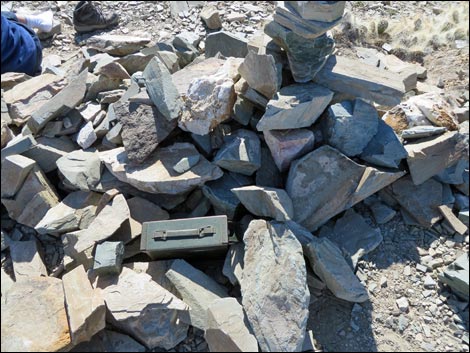 Summit cairn with register box (view S) |
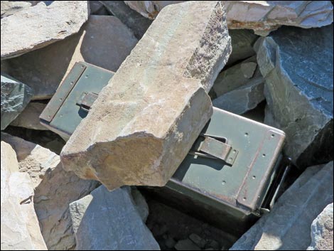 Summit register box |
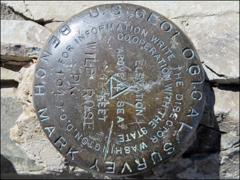 Summit USGS bench mark "Wild Rose" set in 1949 (view S) |
 More to come ... |
Table 1. Hiking Coordinates and Distances based on GPS data (NAD27; UTM Zone 11S). Download Hiking GPS Waypoints (*.gpx) file.
| Wpt. | Location | UTM Easting | UTM Northing | Elevation (ft) | Point-to-Point Distance (mi) | Cumulative Distance (mi) | Verified |
|---|---|---|---|---|---|---|---|
| 01 | Parking Area | 493215 | 4011113 | 6,883 | 0.00 | 0.00 | Yes |
| 02 | Wildrose Trailhead Sign | 493196 | 4011188 | 6,862 | 0.05 | 0.05 | Yes |
| 03 | First Corner (Overlook) | 492935 | 4011631 | 6,912 | 0.36 | 0.41 | Yes |
| 04 | Trail Meets Wash | 493599 | 4012204 | 7,016 | 0.59 | 1.00 | Yes |
| 05 | Trail Up Hillside | 494005 | 4012538 | 7,208 | 0.35 | 1.35 | Yes |
| 06 | Crest of Panamint Range | 494647 | 4012543 | 7,694 | 0.50 | 1.85 | Yes |
| 07 | Trail runs steep again | 494839 | 4012860 | 7,674 | 0.24 | 2.09 | Yes |
| 08 | Steep Slope | 494740 | 4013327 | 7,943 | 0.37 | 2.46 | Yes |
| 09 | Grade Levels | 494489 | 4013687 | 8,188 | 0.32 | 2.78 | Yes |
| 10 | Second Saddle | 494071 | 4013940 | 8,194 | 0.33 | 3.11 | Yes |
| 11 | Bottom of Steep | 493945 | 4013963 | 8,209 | 0.08 | 3.19 | Yes |
| 12 | Trail Forks (winter route left) | 493816 | 4013988 | 8,305 | 0.09 | 3.28 | Yes |
| 13 | Switchbacks Start | 493577 | 4014035 | 8,545 | 0.20 | 3.48 | Yes |
| 14 | Summit Ridge | 493131 | 4014096 | 9,037 | 0.52 | 4.00 | Yes |
| 15 | Wildrose Peak | 492997 | 4014326 | 9,058 | 0.17 | 4.17 | Yes |
| 01 | Parking Area | 493215 | 4011113 | 6,883 | 4.17 | 8.34 | Yes |
Happy Hiking! All distances, elevations, and other facts are approximate.
![]() ; Last updated 240324
; Last updated 240324
| Death Valley | Hiking Around Las Vegas | Glossary | Copyright, Conditions, Disclaimer | Home |