
Hiking Around Las Vegas, Desert National Wildlife Refuge

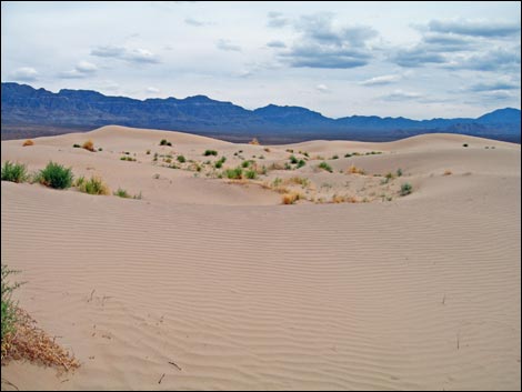
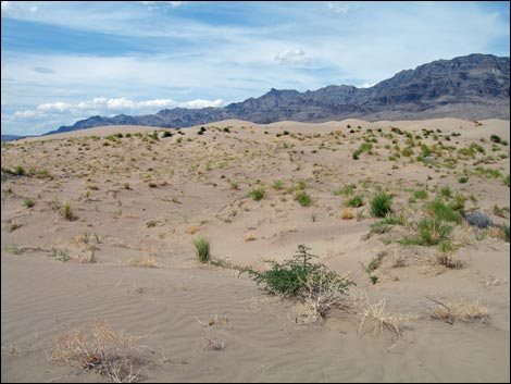
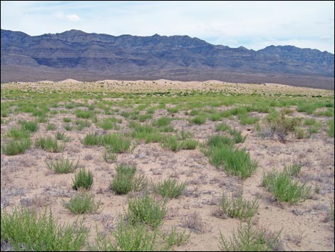 Trailhead area (view E) |
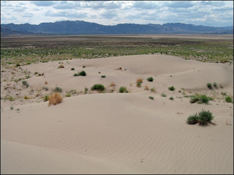
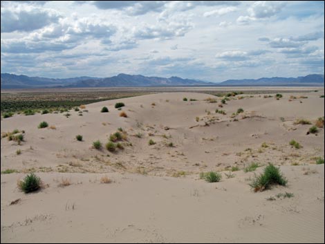
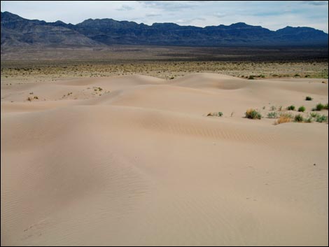
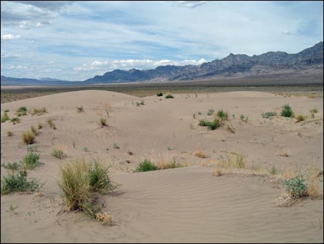
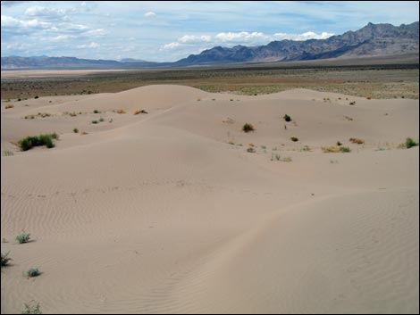
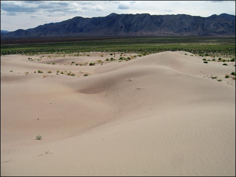
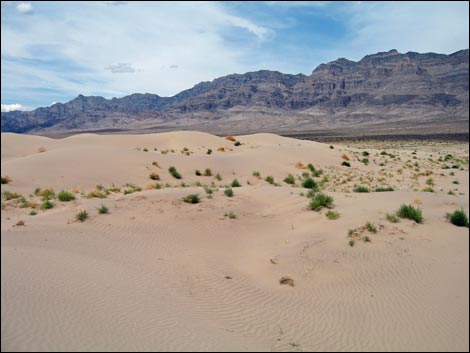
Overview Out in the seldom visited, far northern end of Desert National Wildlife Refuge lies Desert Dry Lake, a dry lakebed that covers some 15 square miles. As a result of several millennia of prevailing winds blowing out of the west, two dune fields have developed. One is located at the northeast corner of the dry lakebed (Desert Dry Lake Dunes North), and the other is located at the southeast corner of the dry lake bed (Desert Dry Lake Dunes South). At Desert Dry Lake Dunes South, the main dune field covers about 30 acres, with an additional sandy area covering another 210 acres. The dunes probably are not 50 feet high, but they feel high when trying to climb to the highpoint. The sand drifts, but some parts are vegetated with annual flowers and a few perennial grasses and shrubs. This hike is about 1-1/2 miles round trip with minimal elevation gain. Link to a map. |
 |
Watch Out Other than the standard warnings about hiking in the desert, ...this is a pretty safe hike. Depending on road conditions, the trailhead might be accessible with a 2WD-HC vehicle, but inquire locally or use a 4WD vehicle just to be sure. Be sure to keep sand out of your camera gear. While hiking, please respect the land and the other people out there, and try to Leave No Trace of your passage. Also, even though this hike is fairly short, it is remote, so be sure to bring the 10 Essentials. This is a wildlife refuge, so pay extra attention to respecting the land and the wildlife out there. |
 |
Location Desert Dry Lake Dunes South is located on the Desert National Wildlife Refuge, but up towards Alamo (northeast of Las Vegas), and it is a full day trip to get there. From town, drive north on Interstate-15 for 21 miles to Exit 64. Exit onto Highway 93 northbound. Consider topping off the gas tank at the truck stop, as this is the last gas station except for going out of the way to Alamo. At 66.5 miles out, turn left onto Pahranagat Headquarters Entrance Road, then stay right onto Alamo Road North. Drive west and then south for 27.5 miles to the end of the old legal road and Desert Dry Lake Dunes South trailhead (Table 1, Site 0543). Note that this is about 4.5 miles past the second turnoff to the northern Desert Dry Lake Dunes. |
 |
The Hike From the trailhead (Table 2, Wpt. 01), the old road continues a ways farther, but there is no trail, only sand, and hikers are on their own to find a fun way to the highpoint (Wpt. 02) of the dunes. Note that the dunes move; the highpoint may have moved since I recorded the waypoint. When ready to leave, wander back towards the trailhead (Wpt. 01), which can be seen from most places in the dunes. |
 |
 |
 |
 |
 |
 |
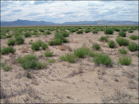 Well vegetated sandy desert flats (view W towards trailhead) |
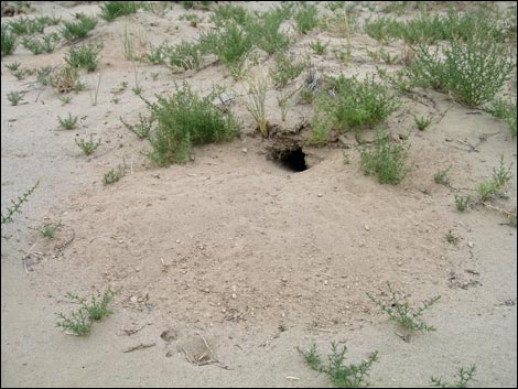 Desert Kangaroo Rat burrow |
Table 1. Highway Coordinates Based on GPS Data (NAD27; UTM Zone 11S). Download Highway GPS Waypoints (*.gpx) file.
| Site | Location | UTM Easting | UTM Northing | Latitude (N) | Longitude (W) | Elevation (ft) | Verified |
|---|---|---|---|---|---|---|---|
| 0543 | Alamo Rd at old Northern Closure | 659762 | 4089935 | 36.94377 | 115.20589 | 3,221 | Yes |
Table 2. Hiking Coordinates and Distances based on GPS Data (NAD27; UTM Zone 11S). Download Hiking GPS waypoints (*.gpx) file.
| Wpt. | Location | UTM Easting | UTM Northing | Elevation (ft) | Point-to-Point Distance (mi) | Cumulative Distance (mi) | Verified |
|---|---|---|---|---|---|---|---|
| 01 | Trailhead | 659769 | 4089935 | 3,218 | 0.00 | 0.00 | GPS |
| 02 | Highpoint | 660952 | 4089609 | 3,268 | 0.81 | 0.81 | GPS |
| 01 | Trailhead | 659769 | 4089935 | 3,218 | 0.96 | 1.77 | GPS |
Happy Hiking! All distances, elevations, and other facts are approximate.
![]() ; Last updated 240324
; Last updated 240324
| Hiking Around DNWR | Hiking Around Las Vegas | Glossary | Copyright, Conditions, Disclaimer | Home |