
Backroads Around Las Vegas, Desert National Wildlife Refuge

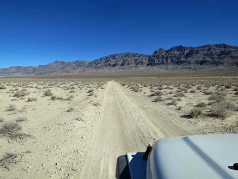 Alamo Road: firm and smooth (view NE) |
The Road -- Desert Dry Lake Desert Sand Dunes From the north side of the playa crossing, Alamo Road heads north for 6.2 miles along the edge of Desert Dry Lake to a parking area, a total of 48.5 miles from Corn Creek. The parking is the trailhead for the 0.7-mile walk to the north side of Desert Dry Lake Dunes. This part of the road is graded from time to time and usually is suitable for high-clearance vehicles. After storms, however, the road can be washed out, very muddy, or both, from the many little washes that cross the road. This part of Alamo Road provides access to campsites, an historical mill site, an historical corral site, and Desert Sand Dunes. Link to map. See Alamo Road for GPS coordinates. |
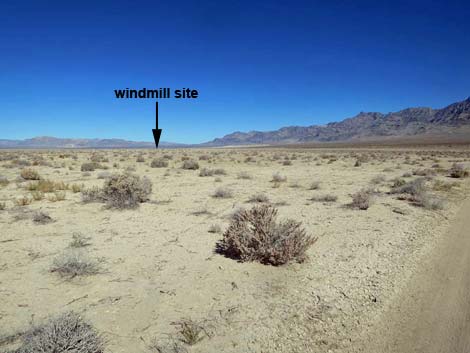 Historical windmill site ahead on the edge of the playa (view N) Historical windmill site ahead on the edge of the playa (view N) |
Alamo Road From the north side of the playa crossing (Table 1, Site 0543), Alamo Road continues north on more stable soils, but in wet conditions, the road here can be quite muddy, but it isn't as bad as crossing the playa. Heading northward, Alamo Road passes an old spur road left that runs out onto the edge of the playa and ends at the site of an old windmill (Desert Dry Lake Windmill). The well casing and a few items of historical interest remain, but this site sits in silent testament to the failing efforts of ranchers to hold back the effects of a drying climate. |
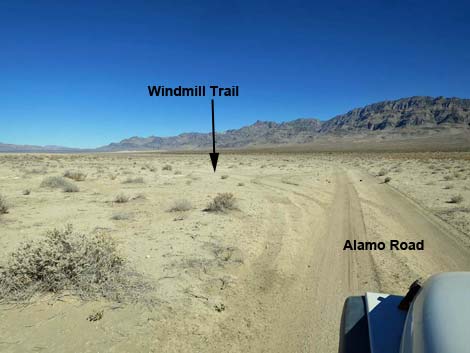 Alamo Road approaching Windmill trailhead (view NE) |
A bit farther north, Alamo Road passes a spur road that angles left and runs out to the edge of the playa. Out there (Desert Dry Lake Corral), ranchers dug a large cattle tank and long trenches out onto the playa. The trenches still drain water off the playa into the cattle tank, but not very often these days. Part way out to the cattle tank, a small fenced area might have served as a corral, but it seems a bit small. Continuing a short distance north, Alamo Road passes a side road that angles back to the left and heads out to the old corral and cattle tank. In this area, Alamo Road mostly runs close to the edge of the playa where wet conditions make for a muddy road, but eventually the road reaches sandy, better drained soils at the south edge of the northern sand dune complex (Desert Dry Lake Dunes North). The southern and northern roads to the dunes are now closed to vehicles, but the old roads serve as hiking trails. |
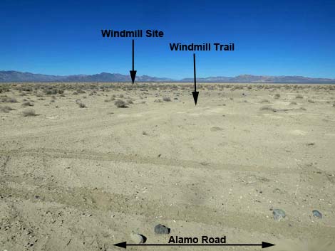 Windmill trail follows ole road (view W from Alamo Road) |
Alamo Road passes the trailhead (Site 0736) for the south end of the dunes, which is marked by an obvious road right and two signs that once said: "road closed." Hikers can park here and walk about 0.5 miles to the edge of the dunefield. Continuing north about 1.5 miles, Alamo Road passes the last of the areas that get nasty mud when wet. When coming south, it might be wise to stop before this point during wet weather. From there, Alamo Road continues north and eventually reaches a parking corral at the trailhead (Site 0735) for the trail to the north end of the dunes complex. The trail follows the old road, but unfortunately, drivers just go around the parking corral and continue to drive the 0.7 miles to the edge of the dunes. I'd hate to get a hefty fine for being too lazy to walk 0.7 miles! Return to Alamo Road or continue to the next road segment. |
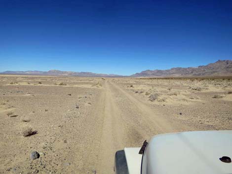 Alamo Road runs straight and smooth (view N) |
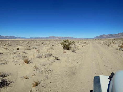 Alamo Road with a lone creosote bush (view N) |
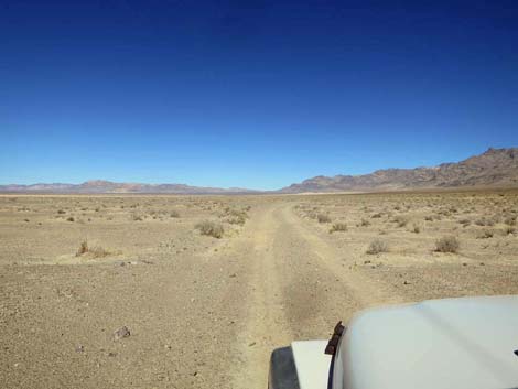 Alamo Road runs straight and smooth (view N) |
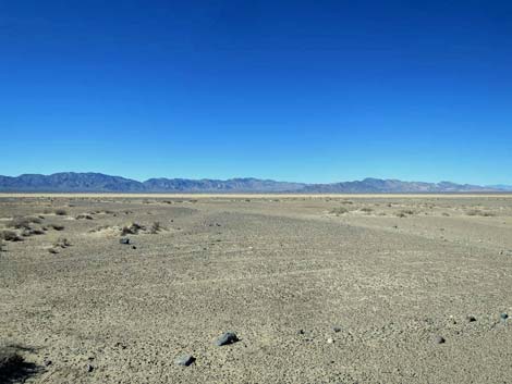 Desert Dry Lake (view NW from Alamo Road) |
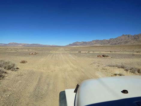 Alamo Road at two cairns built for some unknown purpose (view N) |
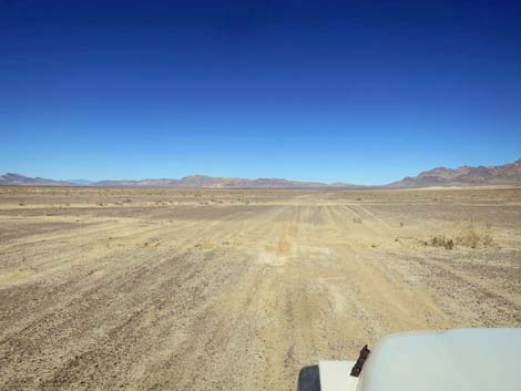 This part of Alamo Road is messy when wet (view N) |
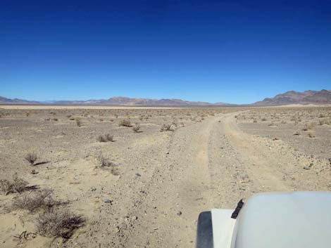 Alamo Road (view N) |
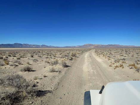 Alamo Road (view N) |
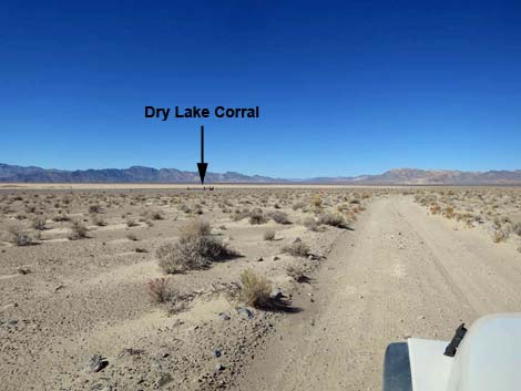 Dry Lake Corral comes into sight (view NW from Alamo Road) |
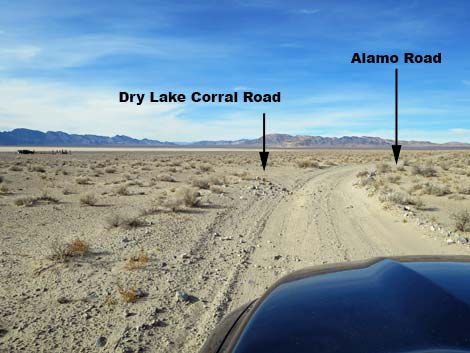 Alamo Road approaching Dry Lake Corral (view N) |
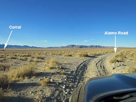 Alamo Road at Dry Lake Corral trail (view N) |
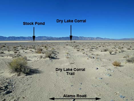 Dry Lake Corral (view NW from Alamo Road) |
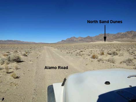 North Sand Dunes are getting closer (view N) |
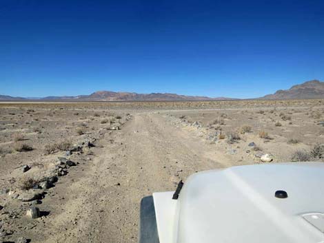 Alamo Road approaching South Dunes trailhead (view N) |
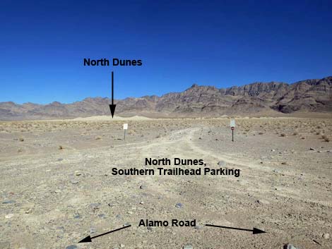 South Dunes trailhead (view NE from Alamo Road) |
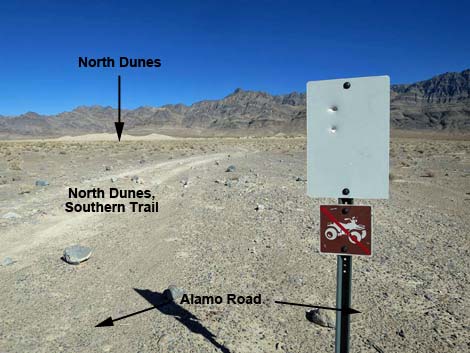 Faded "road closed" and "no ATVs" signs (view NE) |
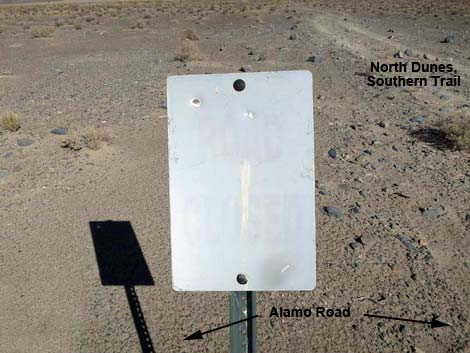 Faded Road Closed sign (view NE) |
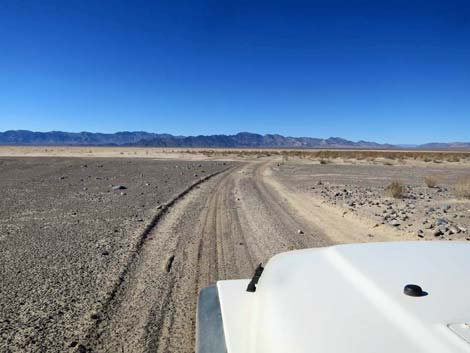 Alamo Road passing the southern dunes trailhead (view W) |
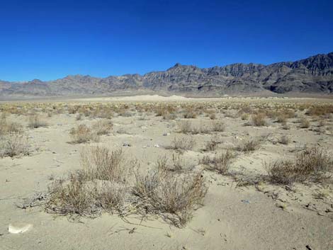 North Dunes (view NE from Alamo Road) |
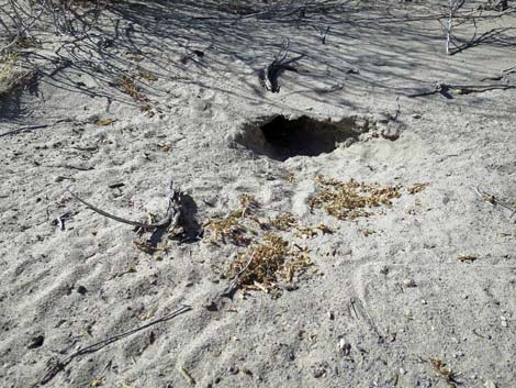 Desert Kangaroo Rat burrow (4-inch diameter) on edge of Alamo Rd |
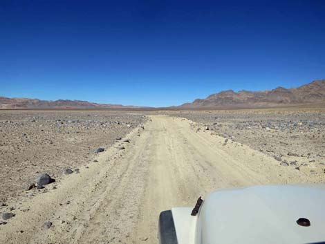 Alamo Road traversing wind-swept, sand-free terrain (view N) |
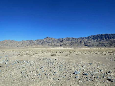 North Dunes (view NE from Alamo Road) |
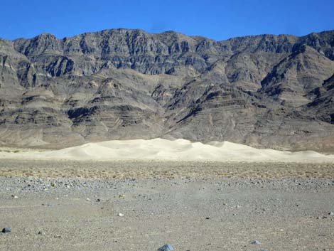 North Dunes (view NE from Alamo Road; zoom) |
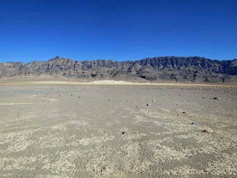 North Dunes and land swept free of sand (view NE from Alamo Rd) |
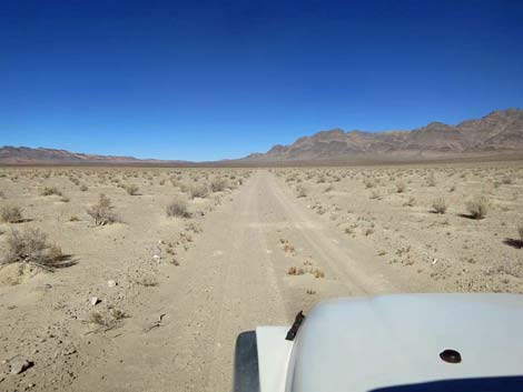 Alamo Road (view N) |
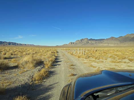 Alamo Road approaching North Dunes trailhead parking (view N) |
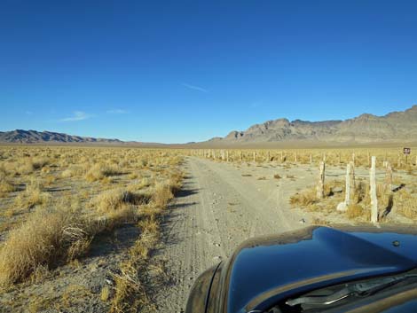 Alamo Road at North Dunes trailhead parking (view N) |
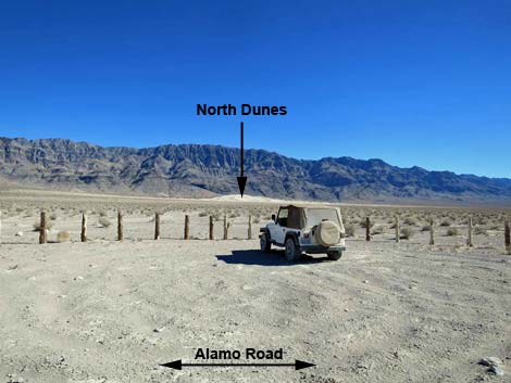 North Dunes trailhead parking (view SE from Alamo Road) |
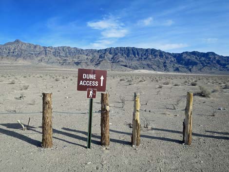 North Dunes trailhead (view SE) |
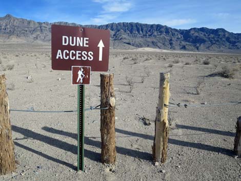 North Dunes trailhead (view SE) |
Happy Hiking! All distances, elevations, and other facts are approximate.
![]() ; Last updated 240324
; Last updated 240324
| Backroads Around DNWR | Hiking Around Las Vegas | Glossary | Copyright, Conditions, Disclaimer | Home |