
Backroads Around Las Vegas, Desert National Wildlife Refuge

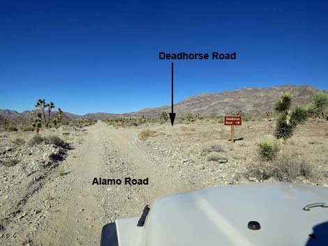 Alamo Road approaching Deadhorse Road (view N) |
Overview Deadhorse Road is a 9.4-mile spur road that runs east from the Alamo Road, crossing the shoulder of the Deadhorse Range and the Mule Deer Range, to two traditional camping areas and trailheads high in the Pinyon Juniper Woodland life zone. On this road, drivers spend a lot of time in loose-gravel washes, making this is one of those roads where unlucky drivers of 2WD-HC vehicles get stuck. For general information on camping, hiking, regulations, other issues, and the natural history of the Wildlife Refuge, see Desert National Wildlife Refuge -- Area Overview. Link to map. |
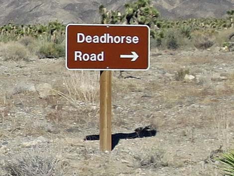 Deadhorse Road sign (view NE from Alamo Road) |
Watch Out Other than the standard warnings about hiking in the desert... Deadhorse Road runs in washes with loose, deep gravel, making it most suitable for 4WD vehicles, especially given that it runs out into wild and remote country. Much of the road is suitable for 2WD high-clearance vehicles, but patches of deep, loose gravel can swallow a truck. There are no services or developments of any kind. Cell phones don't work. Bring water and food, a good spare tire, a shovel, tools, a tow rope, bailing wire (I learned the hard way) and anything else that you might need to survive a day or two stuck out in the desert. While out there, please respect the land and the other people out there, and try to Leave No Trace of your passage. This road leads to remote country, so be sure to bring the 10 Essentials. This is a wildlife refuge, so pay extra attention to respecting the land and stay on the roadway. |
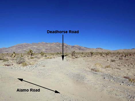 Alamo Road at Deadhorse Road (view NE) |
Location Deadhorse Road is located on the Desert National Wildlife Refuge and starts about 2-1/4 hours northwest of Las Vegas. To get there, drive out to the Information Kiosk (Table 1, Site 0106) at the Corn Creek Field Station. Continue east for about 100 yards to a T-intersection. Turn left onto Alamo Road, and follow it north for 23.6 miles to Deadhorse Road (Site 0455), which forks off to the northeast (right). |
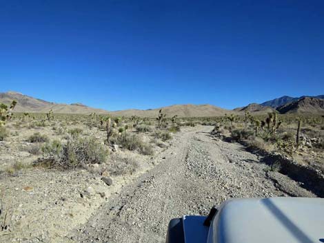 Starting up Deadhorse Road (view NE from Alamo Road) |
The Road Departing Alamo Road (Site 0455), Deadhorse Road runs east towards the Sheep Range. Initially, the road is a bit sandy, but shorty the road runs up into low hills and the road surface firms. After crossing the first set of low hills, the road drops into a wash and follows the wash uphill. The road runs in loose gravel, but it generally is suitable for 2WD-HC vehicles. The road eventually leaves the wash, climbing into hills on a firm base to a saddle on the south shoulder of the Deadhorse Range. Past the saddle, the road crosses broad open basin on firm dirt with a few rocky spots, then drops into a broad valley covered with big sagebrush. The road continues east, crossing the flats and climbing the bajada towards next canyon. Higher on the bajada, the road get quite rocky and drops into a wash with deep gravel. The wash narrows, the grade steepens, and the gravel gets deep in the next canyon, making for spinning tires and finally requiring 4WD. |
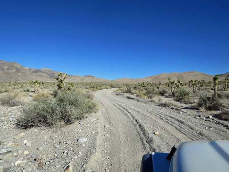 |
Eventually, the canyon opens, singleleaf pinyon pine and Utah juniper line the road, and the road base becomes firm again. Passing through the Mule Deer Range, the road arrives at a broad, open area used as a traditional campsite (8.5 miles out; Site 0546). Closed roads here, used for trails, run southeast into Bighorn Basin and the Sheep Range. From the Bighorn Basin camping area, the road turns hard to the left and runs north as a two-track road. This part of the road is narrower than before, and one steep section runs down into and crosses a wash. This road ends, about 0.9 miles out, at the edge of a wash with a boulder barricade. This site, Mule Deer Camp, is used as a traditional campsite, but the spot is not particularly scenic, and it seems odd that the road even goes here. Beyond the barricades, hikers can wander farther northeast on gently rolling hills with grand views north along the rugged northern extension of the Sheep Range. |
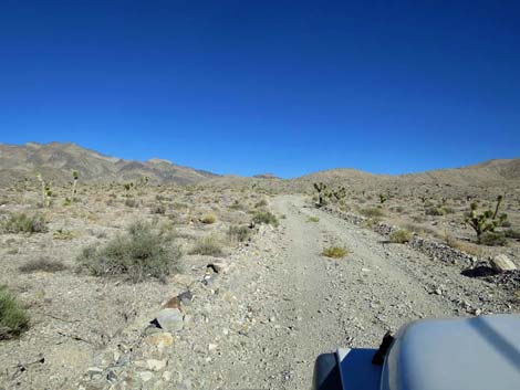 Past the sand, Deadhorse Road runs smooth and easy (view NE) |
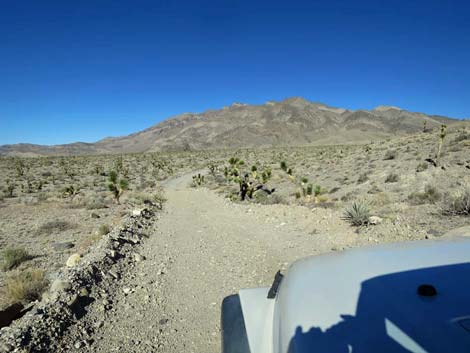 Deadhorse Road (view NE) |
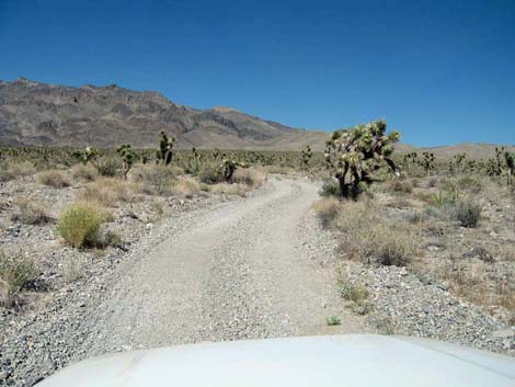 Deadhorse Road (view NE) |
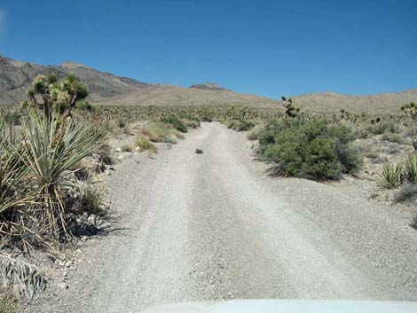 Deadhorse Road (0.32 miles out) |
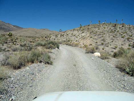 Deadhorse Road (0.91 miles out) |
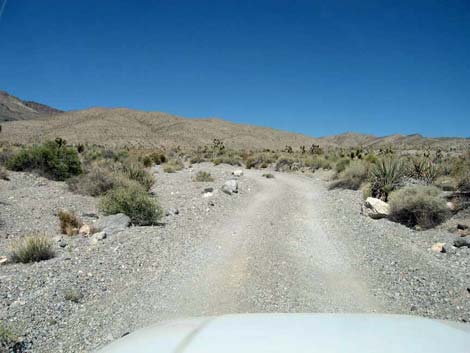 Deadhorse Road (1.22 miles out) |
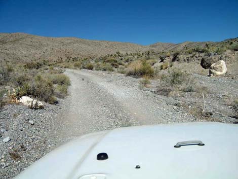 Deadhorse Road (1.45 miles out) |
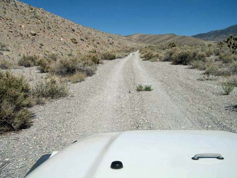 Deadhorse Road (1.58 miles out) |
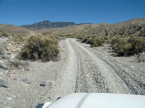 Deadhorse Road (1.74 miles out) |
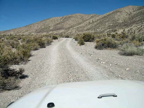 Deadhorse Road (2.39 miles out) |
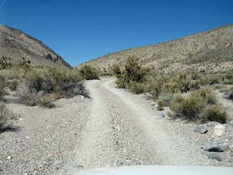 Deadhorse Road (2.56 miles out) |
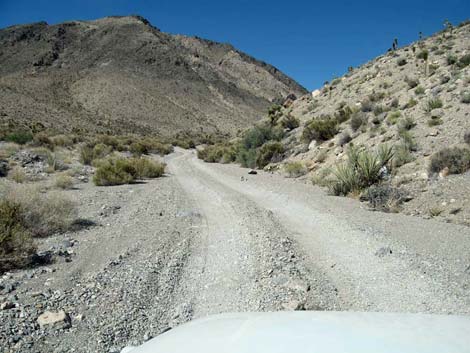 Deadhorse Road (2.76 miles out) |
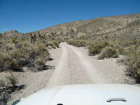 Deadhorse Road (3.27 miles out) |
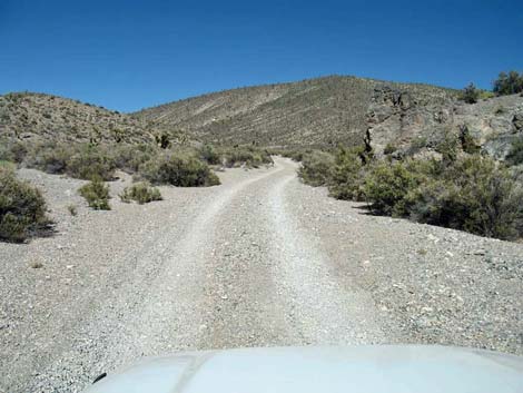 Deadhorse Road (3.57 miles out) |
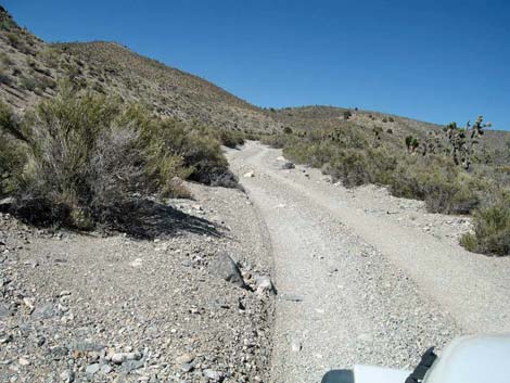 Deadhorse Road (3.88 miles out) |
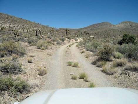 Deadhorse Road (4.17 miles out) |
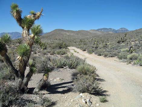 Deadhorse Road (4.45 miles out) |
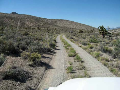 Deadhorse Road (4.62 miles out) |
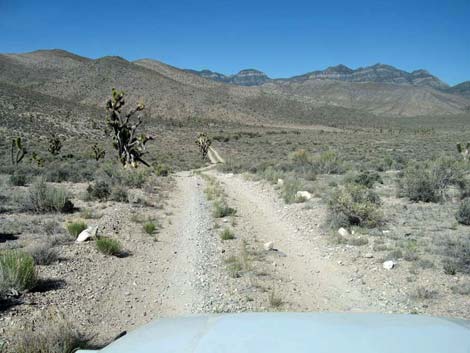 Deadhorse Road (5.28 miles out) |
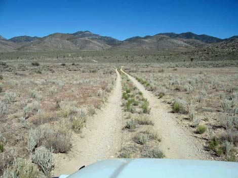 Deadhorse Road (5.67 miles out) |
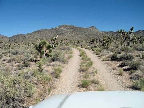 Deadhorse Road (6.56 miles out) |
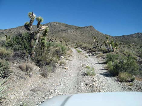 Deadhorse Road (6.73 miles out) |
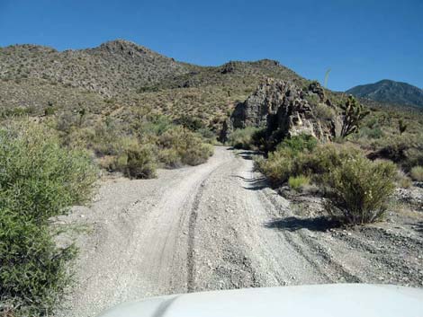 Deadhorse Road (6.91 miles out) |
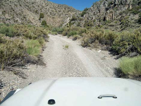 Deadhorse Road (7.07 miles out) |
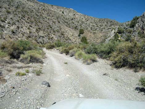 Deadhorse Road (7.09 miles out) |
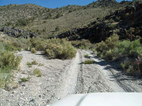 Parts of Deadhorse Road have deep gravel (7.16 miles out) |
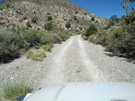 Deadhorse Road (7.34 miles out) |
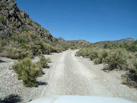 Deadhorse Road (7.55 miles out) |
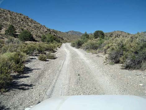 Deadhorse Road (7.74 miles out) |
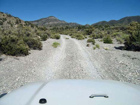 Deadhorse Road (8.01 miles out) |
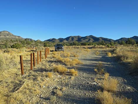 Deadhorse Road (8.54 miles out; view E)) |
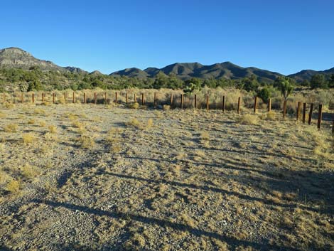 Entering the Bighorn Basin parking corral (8.54 miles out; view E) |
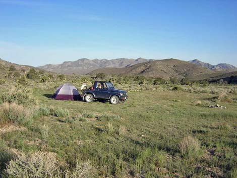 Bighorn Basin Campsite before fencing (May 2005) |
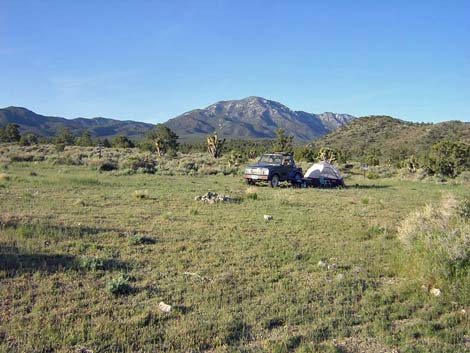 Bighorn Basin Campsite before fencing (May 2005) |
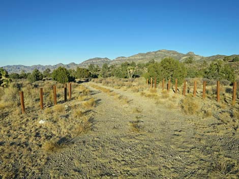 Passing through Bighorn Basin parking corral (8.54 miles out; view E) |
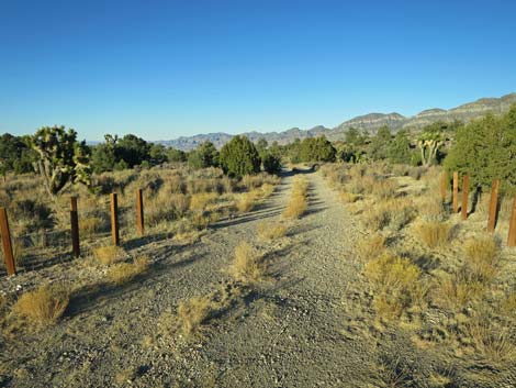 Exiting Bighorn Basin parking corral (8.55 miles out; view E) |
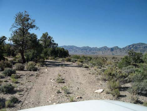 Deadhorse Road (8.70 miles out; view N) |
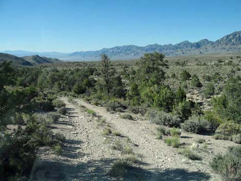 Deadhorse Road (8.79 miles out; view N) |
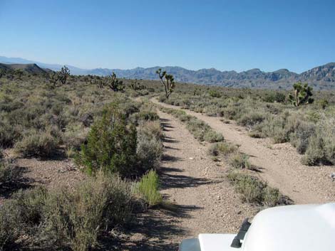 Deadhorse Road (9.08 miles out; view N) |
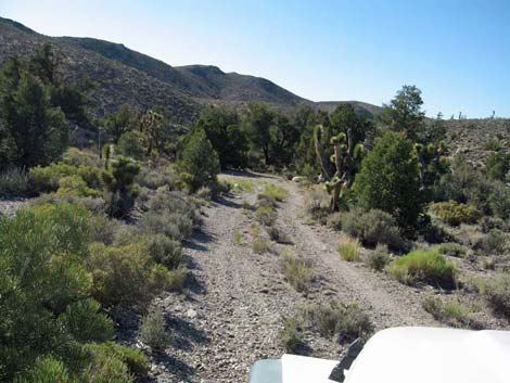 Deadhorse Road (9.35 miles out; view N) |
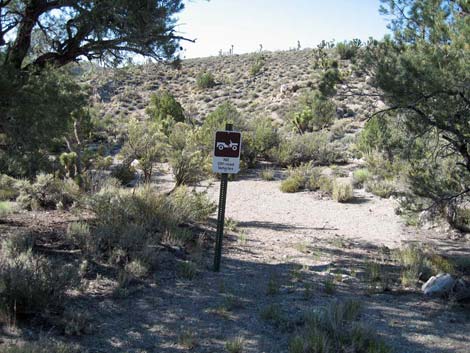 Deadhorse Road (9.37 miles out; view N) |
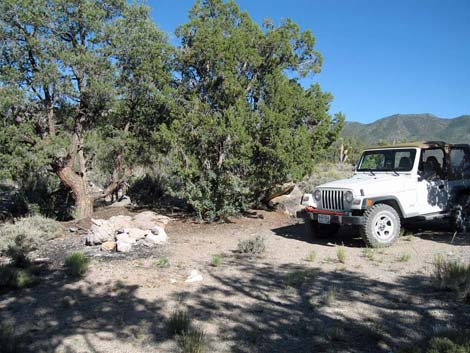 Traditional Mule Deer Camp at end of road (9.37 miles out; view N) |
Returning down Deadhorse Road
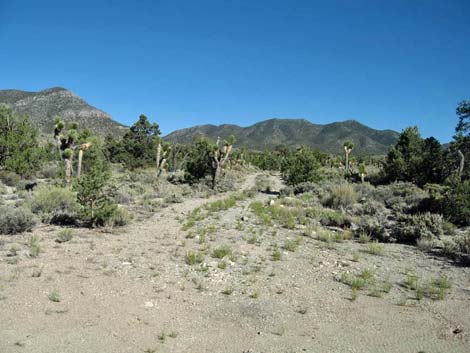 Deadhorse Road, leaving Mule Deer Camp (view S) |
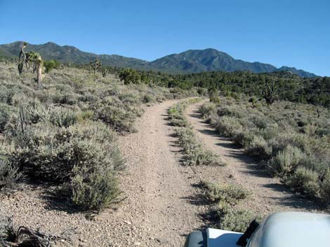 Deadhorse Road, approaching Bighorn Basin Camp (view S) |
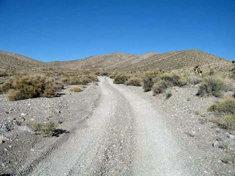 Deadhorse Road (1.94 miles back to Alamo Road) |
 More to come ... |
Table 1. Highway Coordinates Based on GPS data (NAD27; UTM Zone 11S). Download Highway GPS Waypoints (*.gpx) file.
| Site # | Location | UTM Easting | UTM Northing | Latitude (N) | Longitude (W) | Elevation (ft) | Verified |
|---|---|---|---|---|---|---|---|
| 0106 | Corn Creek parking area | 647225 | 4033632 | 36.43845 | 115.35745 | 2,814 | Yes |
| 0514 | Deadhorse Rd End | 663310 | 4071219 | 36.77452 | 115.17009 | 5,674 | Yes |
| 0546 | Deadhorse Rd Camp | 663405 | 4069912 | 36.76273 | 115.16930 | 5,883 | Yes |
| 0552 | Alamo Rd at Deadhorse Rd | 651727 | 4068747 | 36.75418 | 115.30031 | 4,272 | Yes |
Happy Hiking! All distances, elevations, and other facts are approximate.
![]() ; Last updated 240324
; Last updated 240324
| Hiking Around DNWR | Hiking Around Las Vegas | Glossary | Copyright, Conditions, Disclaimer | Home |