
Monument Creek to Tonto-Hermit Trail Junction
Hiking Around Las Vegas, Grand Canyon National Park

Overview | Previous Segment | Next Segment
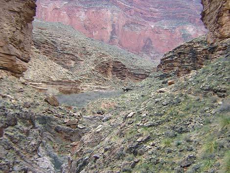 Monument Canyon and camp (view E) |
Overview This description of the Tonto West Trail is divided into two parts: (1) an overview of the entire trail, trailheads, and other general information, and (2) individual canyon-to-canyon segments. In addition, the Hermits Rest, Monument Creek, Havasupai Garden, Bright Angel Trailhead loop (west to east) is described separately because this is a popular loop, and it is easier to follow descriptions going forward than going backwards. |
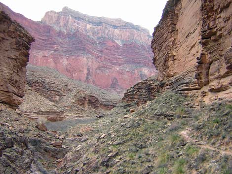 Trail in side-canyon and the Monument (view E) |
From Monument Creek, it is about 2.3 miles and 1.25 hours to the Tonto-Hermit Trail junction. This segment of the trail climbs a side canyon to get out of Monument gorge, runs west around Cope Butte (the ridge below Pima Point), climbs over another saddle, and turns back into Hermit Canyon. The trail crosses a fairly long steep hillside on a narrow, dirt trail that could be hazardous when muddy. Water is available only at Monument Creek. The campground at Monument Creek (Backcountry Use Zone BL7) is the only legal camping area on this segment, although there are several illegal campsites at the Tonto-Hermit Trail Junction. Link to map of this segment. |
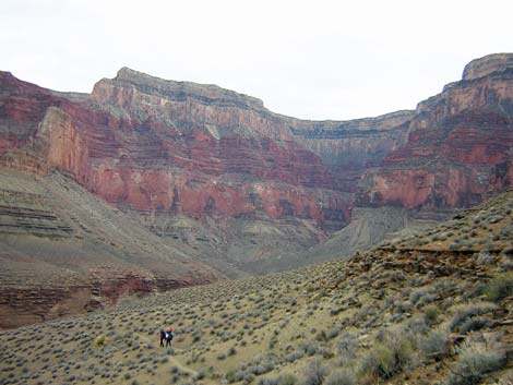 Hikers turning into Monument Canyon (view SE) |
Watch Out Other than the standard warnings about hiking in the desert, ...be sure to read the Watch Out section on the Tonto West Overview page, which discusses things such as cell phones and signal mirrors. While hiking, please respect the land and the other people out there, and please try to Leave No Trace of your passage. Getting to the Trailhead Trailhead information is presented on the Tonto West Overview page. |
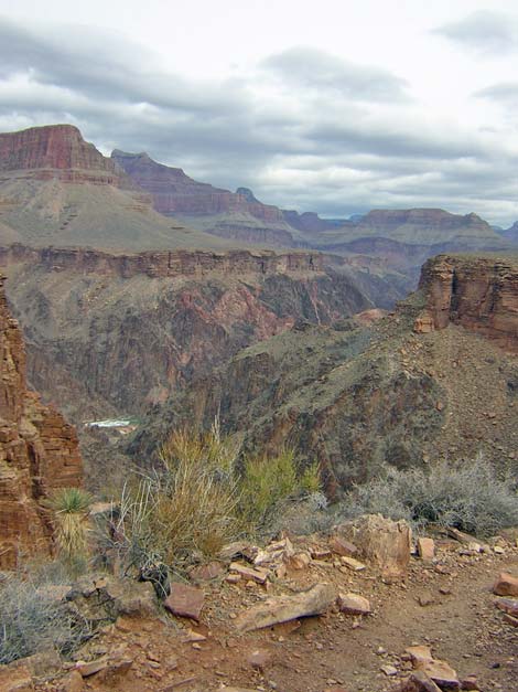 Colorado River and Inner Gorge (view NE) |
The Hike 5. Monument Creek to Tonto-Hermit Trail Junction -- 2.3 miles and 1.25 hours From the wash crossing at Monument Creek (Table 5, Waypoint 014), the trail runs north through the campground and down the west side of the canyon. From the outhouse at the north edge of the campground, the trail runs beneath highly sculpted Tapeats Sandstone cliffs for about 5 minutes to "the Monument," a 200-foot high, freestanding pillar of Tapeats Sandstone. The Monument marks that start of the Granite Rapids Trail. This trail runs for about 1.5 miles to the Colorado River. I've not hiked this trail, but campers at Monument Creek said it made for a nice afternoon hike. |
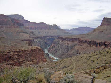 Hikers on trail above river (view NW) |
From the Monument, the trail turns west and runs up the south side of a side canyon. There is a species of Nolina (perhaps beargrass) growing here and in the campground that I didn't see elsewhere on the Tonto Trail. The trail runs along the south side of the side canyon, then crosses the wash to the north side of the canyon. Off-route cairns run up the wash, but a real trail runs along the north side of the canyon. The trail again appears to disappear just before it reaches several huge boulders that block the canyon. At this point, cairns mark a route up the north side of the canyon. It doesn't look like a trail, rather it is a steep, washed-out rubble field with lots of boulders to work around, but it only takes a few minutes to get from the wash to the top of the Tapeats cliffs. |
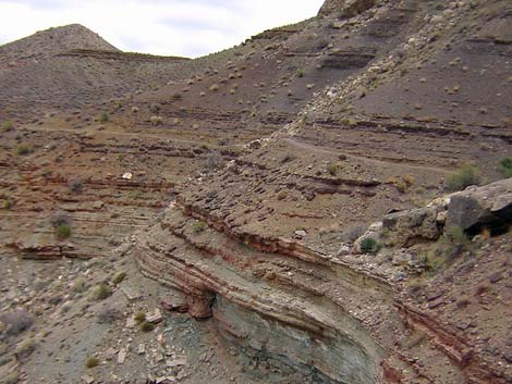 Narrow trail on steep, dirt slope (view E) |
Back on the Tonto Platform, the trail runs north across a pleasant segment along the edge of the cliffs before crossing a steep sidehill and running in and out of several little side canyons with steep, but short, bits of up and down. There are great views of the canyon and the rim all through here. The trail abruptly turns west and climbs more-or-less straight up the hillside to a saddle (Wpt. 015) on the main ridge below Cope Butte where the trail turns out of the Monument Canyon drainage system. A nice illegal campsite lies just west of the saddle. From the saddle (Wpt. 015), the trail drops at a fair grade and begins a traverse of the steep sidehill beneath the northwest face of Cope Butte. Here, the trail runs on a narrow, out-sloping, dirt trail that could be a problem if the trail were wet and muddy. It takes about 25 minutes to cross this exciting bit of trail and climb onto the next saddle. |
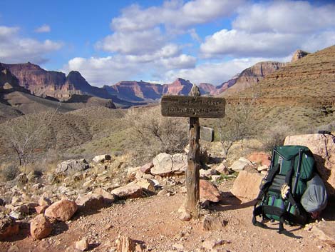 Tonto-Hermit trail junction (view NW) |
From the saddle, there is a good view of the Hermit Rapids, and if you will be hiking out the Hermit Trail, the saddle is a good place to see the Cathedral Stairs, although the view will make you wonder how you will ever get all the way up there. From the saddle, the trail enters the Hermit Creek drainage system and drops at a moderate grade for about 5 minutes to the Tonto-Hermit Trail junction (Wpt. 016). |
Table 5. Hiking Coordinates Based on GPS Data (NAD27; UTM Zone 12).Download Entire Route Waypoint (gpx) file.
| Wpt. | Location | Time | Easting | Northing | Elevation (ft) | Verified |
|---|---|---|---|---|---|---|
| 014 | Monument Creek (B02) | 1253 | 393269 | 3993521 | 2,995 | Map |
| 015 | Saddle below Cope Butte (B01) | 1145-1156 | 392445 | 3994573 | 3,389 | Map |
| 016 | Tonto-Hermit Trail Junction (A06) | 1116 | 391667 | 3994127 | 3,215 | GPS |
Happy Hiking! All distances, elevations, and other facts are approximate.
![]() ; Last updated 240326
; Last updated 240326
| Hiking Around Grand Canyon | Hiking Around Las Vegas | Glossary | Copyright, Conditions, Disclaimer | Home |