
Hiking Around Las Vegas, Gold Butte National Monument

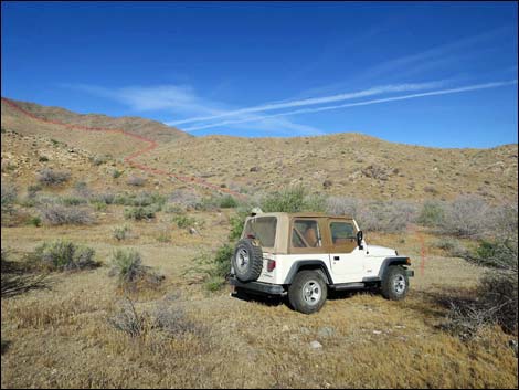 Trailhead parking along Garnet Valley Road (view W) |
Overview Bonelli Peak, via the northeast and north ridges, is a fun hike deep in the remote southwest portion of Gold Butte National Monument. The hike to the summit and back, for people in well pin-striped vehicles, is 4.5 miles. In other vehicles, hikers can add 2.8 miles, round trip, to the day. The hike ascends fairly steep and strenuous, but safe, side-ridges to gain the main North Ridge, which is followed south to the summit. Much of the upper ridgelines are rocky, but the craggier portions can be bypassed on one side or the other. Hiking poles are recommended. Hikers who make the summit are rewarded with what is among the best 360-degree views in southern Nevada (summit views), and when back in Las Vegas, they can point to the peak and brag to their friends. Link to hiking map. |
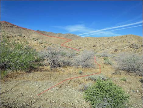 Start of the route (view W) |
Watch Out Other than the standard warnings about hiking in the desert, ... this area is fairly safe, but watch for loose rocks on the ridgeline. The craggy areas look like prime rattlesnake habitat, so be sure to watch carefully -- especially when using the rocks for handholds. Some of the craggy sections, which can be bypassed, are minimal 3rd-class, so always be careful when high enough to fall and get hurt -- help is a long way away. The roads require a stout 2WD-HC vehicle, but a 4WD is safer in this remote region. This is a wild and remote area without services of any kind (no restrooms, no water, no gas, no food). Bring what you need to survive. Be prepared and be self-reliant. Law enforcement occasionally patrols the area. Someone will find you eventually if you stay on a main road, but be prepared to survive alone for a day or two. Cell phones only work along parts of the paved road. While hiking, please respect the land and the other people out there, and try to Leave No Trace of your passage. Also, this is a very remote hike, so be sure to bring the 10 Essentials. |
 |
Getting to the Trailhead Bonelli Peak is located out in Gold Butte National Monument at the northeast end of Lake Mead, about 5 hours northeast of Las Vegas in a wild, remote, and scenic area. From town, drive out to Gold Butte National Monument. From Whitney Pocket, continue south on the unpaved Gold Butte Road for 20 miles to Gold Butte Townsite. Continuing southwest, the main road becomes Scanlon Road. Drive south on Scanlon Road for a total of 9.8 miles to Garnet Valley Road, on the right. For those who don't want vehicle pin-striping, park here. Otherwise, turn right onto Garnet Valley Road and drive southwest 1.4 miles to the second quail guzzler. Park here; this is the trailhead. |
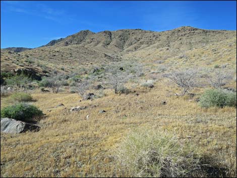 Summit ridge (view SW from low on the route) |
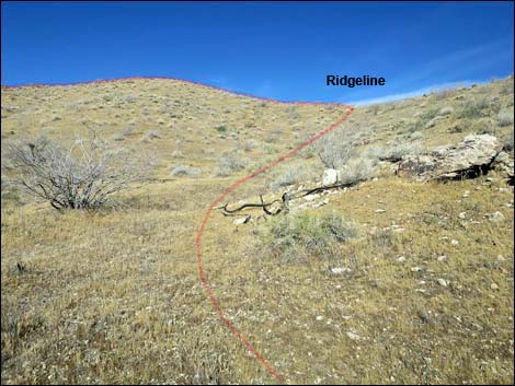
The Hike From the trailhead (Table 1, Waypoint 01), the route runs west into the obvious side canyon with the goal of gaining the low ridgeline on the north (right) side of the wash. At any of several easy spots, the route climbs onto the ridgeline (Wpt. 02) where the walking is easier. This area burned some years ago, so the Mojave Desert Scrub vegetation is sparse, especially on the ridgeline. Following the ridgeline west, the grade soon increases considerably, but the footing is dirt, so the walking remains fairly easy. The route climbs onto a rocky highpoint (Wpt. 03), and from there the grade lessens as the ridgeline turns more due south. Although the grade is less, rocky outcrops become more frequent. |
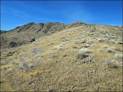 |
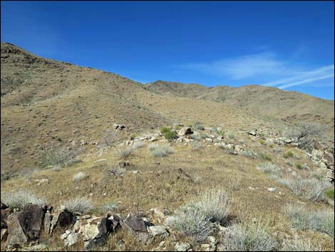
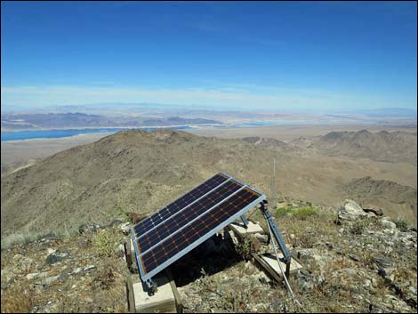
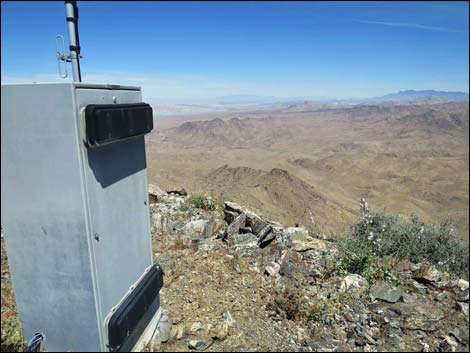
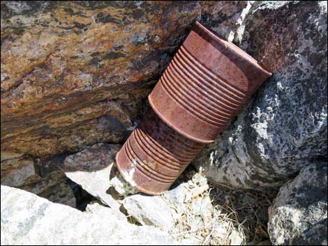
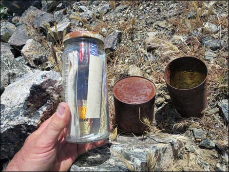
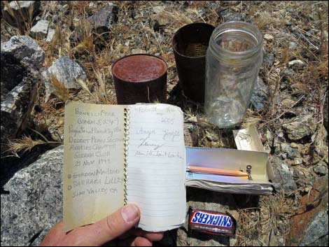
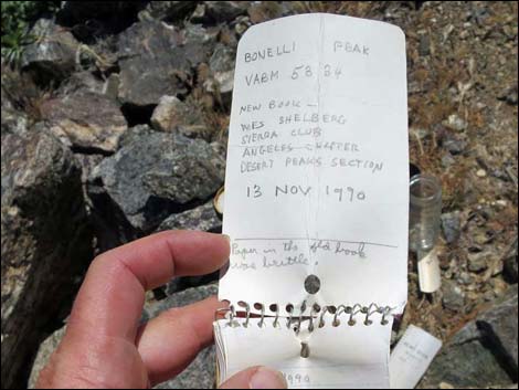
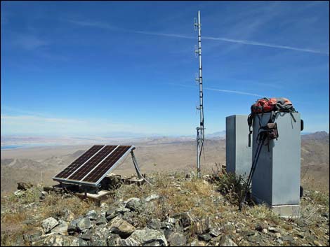
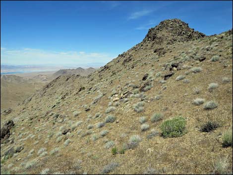
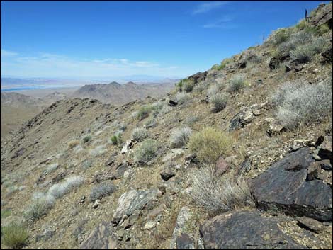
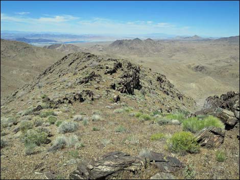
Approaching a major peaklet on the ridgeline (Wpt. 04), it is advantageous to contour across the steep west-facing hillside towards the next saddle, although it is easier to climb higher onto the peaklet and gain the next ridgeline (Wpt. 05) well before the saddle. Past the major peaklet, the ridge remains steep and rocky, but never is the route dangerous. Eventually, the views increase and even the Overton Arm of Lake Mead can be seen over the main North Ridge. Before long, the Northeast Ridge merges with the North Ridge (Wpt. 06), and the North Ridge is followed to the summit. Just below the summit, the route passes a decommissioned radio tower, and then hikers are greeted by a working tower, a solar panel, two equipment boxes, and a summit register on the summit (Wpt. 07). |
 |
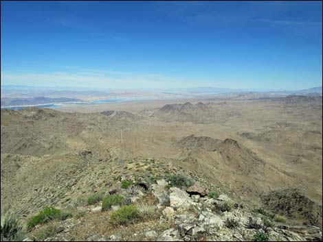
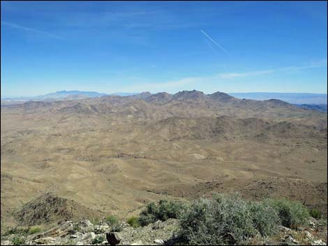
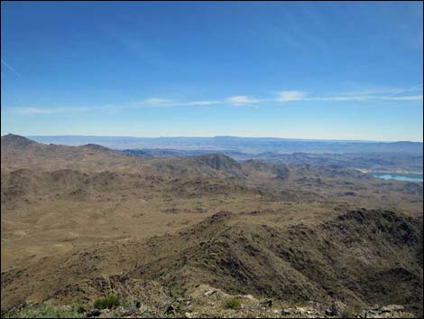
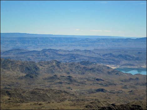
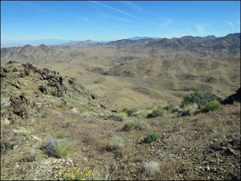
Views from the summit are surprisingly grand. To the west are Las Vegas and the Spring Mountain Range. To the north in the "near distance" are Lime Ridge, Tramp Ridge, and Virgin Peak, while in the far distance, the Mormon Mountains and the Pine Valley Mountains above St. George, Utah, fade into the desert haze. To the east lies the Jumbo Peak complex, and beyond are the Grand Wash Cliffs in Arizona. To the south is Lake Mead and peaks running into the distance across Arizona, Nevada, and California. When ready, follow your footprints back down the ridge to the trailhead. Pay particular attention when the North Ridge and Northeast Ridge split, and especially when the Northeast Ridge splits again (stay right) aiming for the peaklet bypass during the ascent. See photos of the descent. |
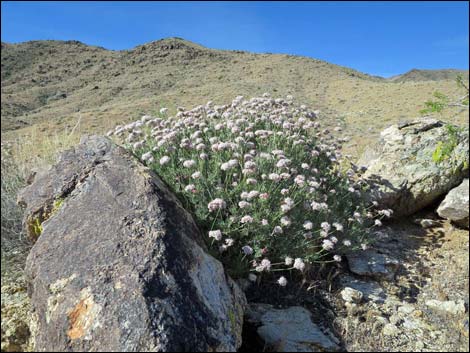 Mojave Buckwheat blooming on the ridgeline (view SW) |
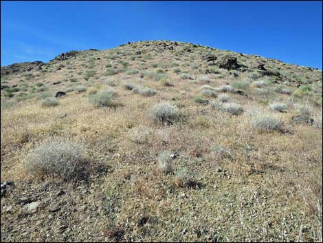 Steep ridgeline (view SW) |
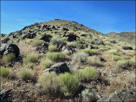 Approaching the first highpoint (view S) |
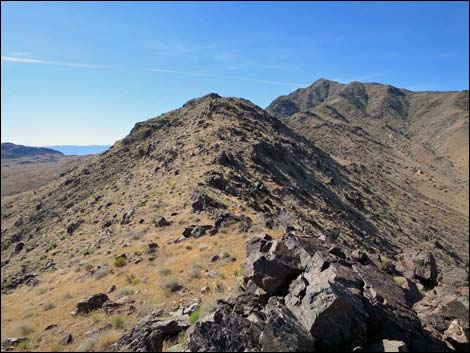 Ridgeline (view S from first highpoint) |
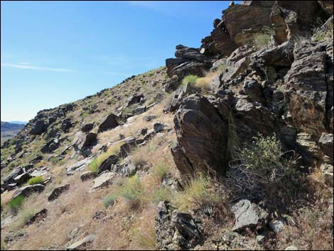 Bypassing a rocky outcrop (view SE) |
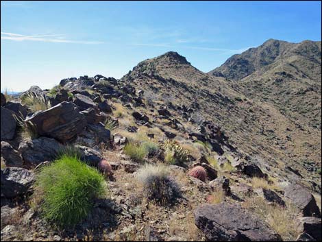 Rocky ridgeline (view SE) |
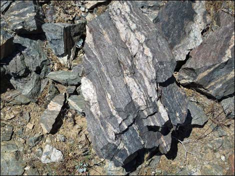 Banded metamorphic rock |
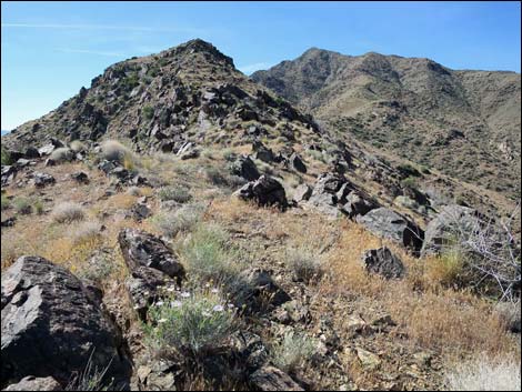 Rocky ridgeline (view SE) |
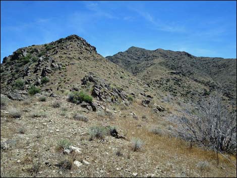 Open ridgeline (view SE) |
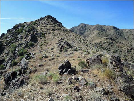 Approaching high peaklet on ridgeline (view SE) |
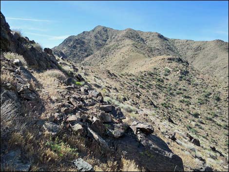 Traversing west face of peaklet (view S) |
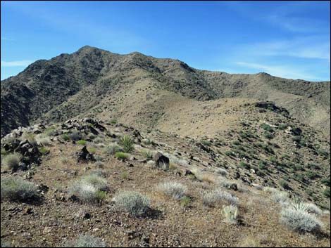 Regaining the ridgeline (view S) |
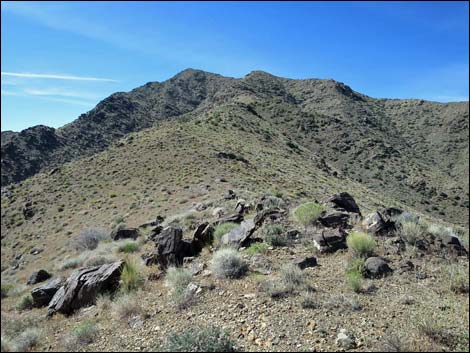 Open ridgeline with a few rocks (view S) |
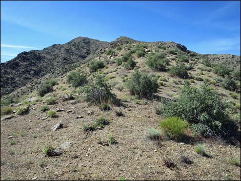 Some shrubs survived the fire (view S) |
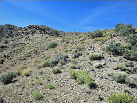 Edge of the fire (view S) |
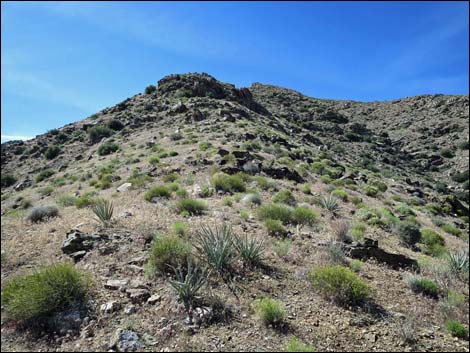 Approaching rocky outcrop (view S) |
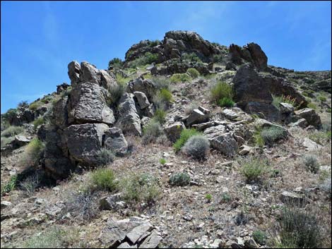 Rocky outcrop can be bypassed, otherwise 3rd-class (view S) |
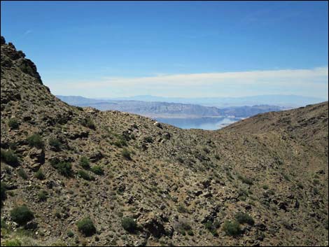 First view over North Ridge into Overton Arm (view NW) |
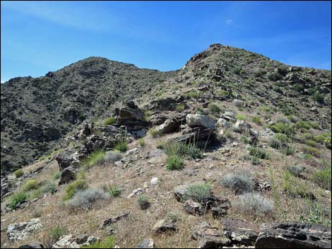 |
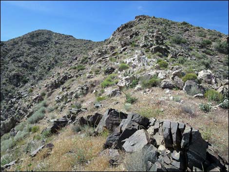 |
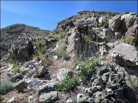 Rocky ridgeline with blooming penstemon (view S) |
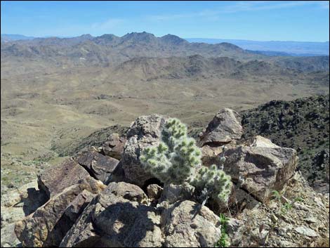 Blue-diamond Cholla and grand view (view SE) |
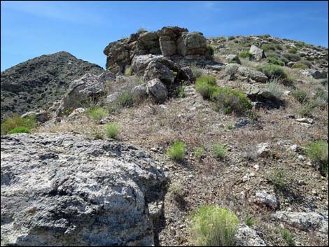 Rocky ridgeline (view S) |
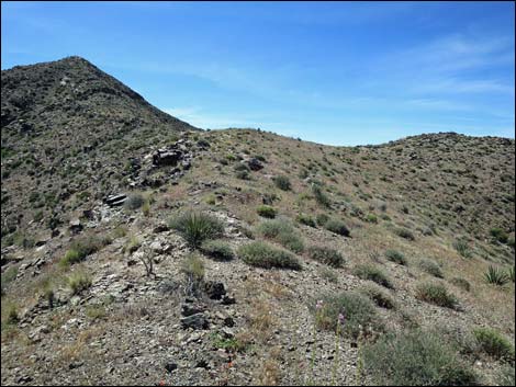 Open ridgeline (view S) |
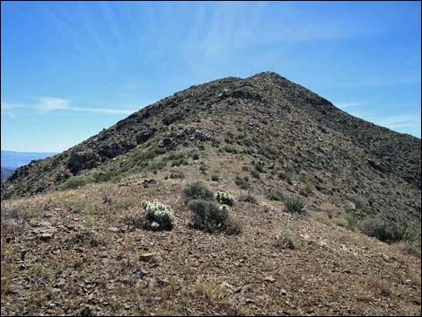 Blue-diamond Cholla on summit ridge (view S) |
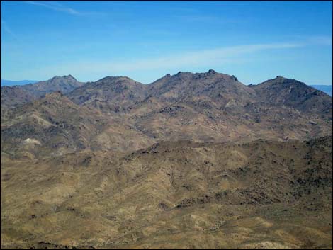 The views have gotten good (view E to Jumbo Peak) |
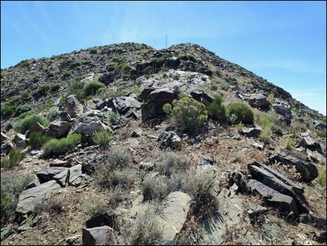 Rocky ridgeline (view S) |
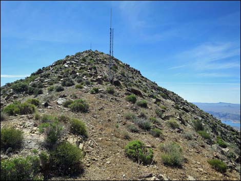 Approaching decommissioned radio antenna |
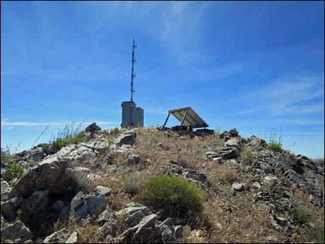 Radio antenna and solar panel in summit (view S) |
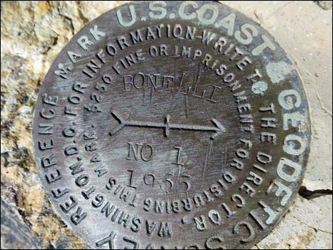
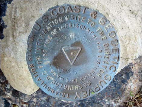 USGS benchmark "Bonelli" |
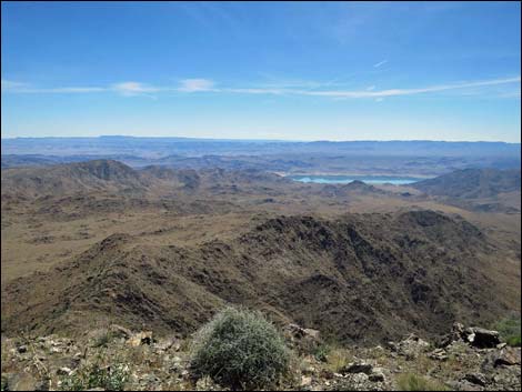 |
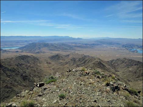 |
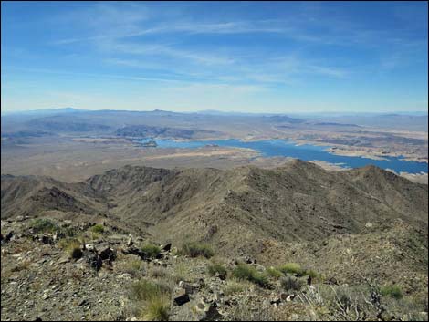 |
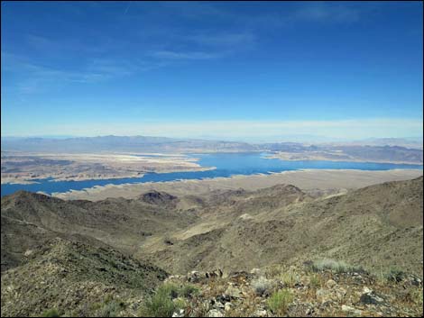 |
 |
 |
 |
 |
 |
 |
 |
 |
 |
 |
 |
 |
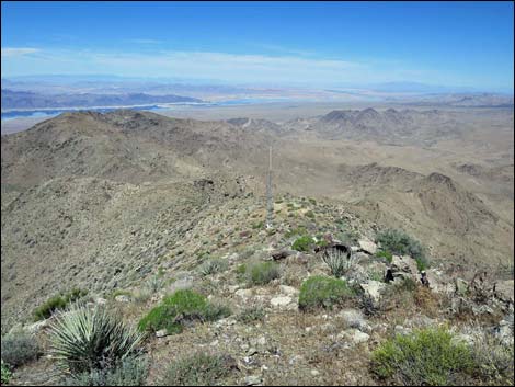 Starting down off the summit (view N) |
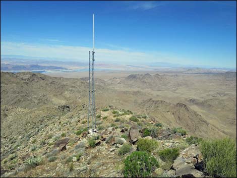 Passing the lower radio tower (view N) |
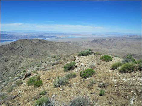 Helipad (view N) |
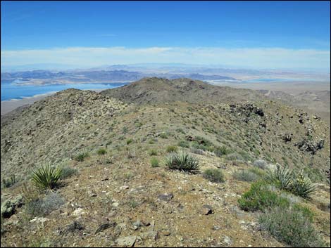 Open ridge (view N) |
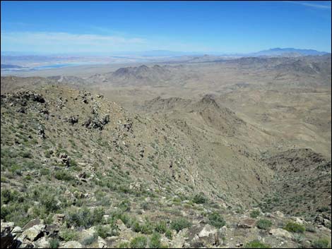 |
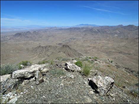 |
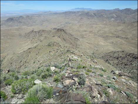 |
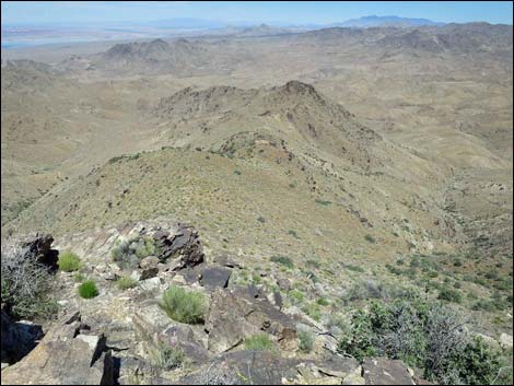 |
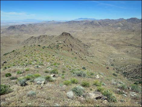 |
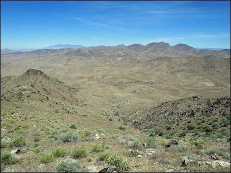 |
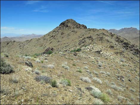 |
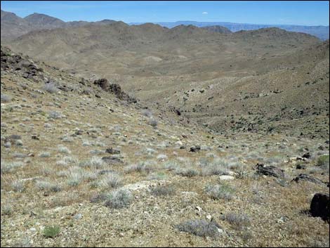 |
 |
 |
 |
 |
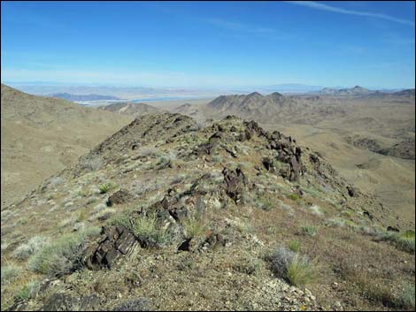 |
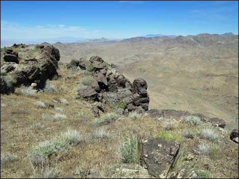 |
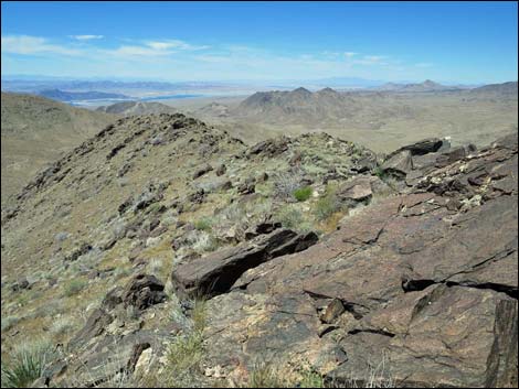 |
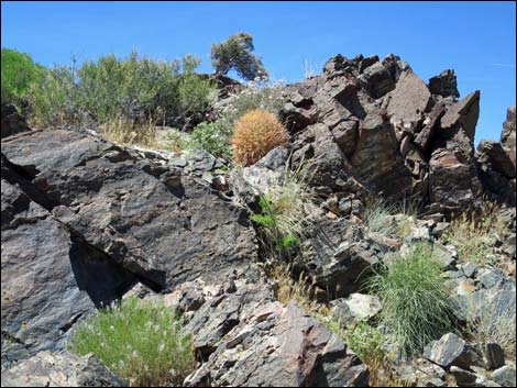 |
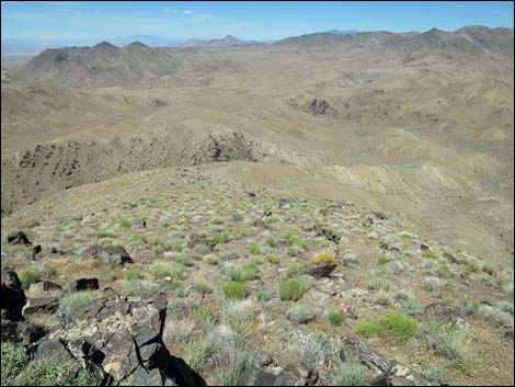 |
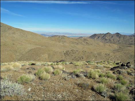 |
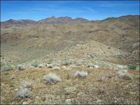 |
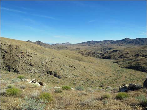 |
 |
 |
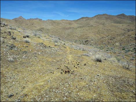 Burro scat and animal trail (view NE) |
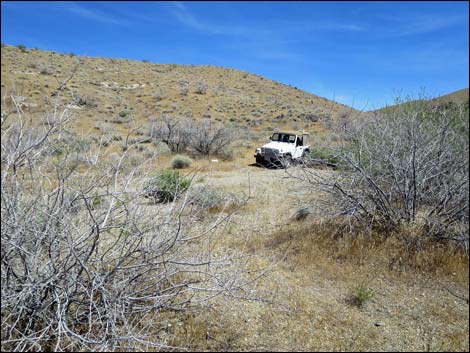 Returning to the trailhead (view E) |
Table 1. Hiking Coordinates and Distances based on GPS Data (NAD27; UTM Zone 11S). Download Hiking GPS waypoints (gpx) file.
| Wpt. | Location | UTM Easting | UTM Northing | Elevation (ft) | Point-to-Point Distance (mi) | Cumulative Distance (mi) | Verified |
|---|---|---|---|---|---|---|---|
| 01 | Bonelli Trailhead | 747642 | 4006257 | 3,285 | 0.00 | 0.00 | GPS |
| 02 | Ridgeline | 747352 | 4006187 | 3,452 | 0.22 | 0.22 | GPS |
| 03 | First Highpoint | 747053 | 4005551 | 4,067 | 0.59 | 0.81 | GPS |
| 04 | Depart Ridgeline | 747350 | 4005115 | 4,346 | 0.38 | 1.19 | GPS |
| 05 | Regain Ridgeline | 747381 | 4004993 | 4,321 | 0.08 | 1.27 | GPS |
| 06 | Main North Ridge | 747371 | 4003937 | 5,063 | 0.78 | 2.05 | GPS |
| 07 | Bonelli Peak Summit | 747562 | 4003770 | 5,302 | 0.20 | 2.25 | GPS |
| 01 | Bonelli Trailhead | 747642 | 4006257 | 3,285 | 2.25 | 4.50 | GPS |
Happy Hiking! All distances, elevations, and other facts are approximate.
![]() ; Last updated 240325
; Last updated 240325
| Hiking Around Gold Butte | Hiking Around Las Vegas | Glossary | Copyright, Conditions, Disclaimer | Home |