
Hiking Around Las Vegas, Gold Butte National Monument
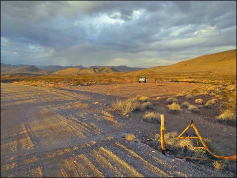 Cattle Guard Campsite |
Overview The Gold Butte Road campsites are aligned down the road between Whitney Pocket and Gold Butte Townsite. These primitive campsites provide more privacy than do the more popular campsites in Whitney Pocket, but they are farther out the main road. There is no water, and there are no toilets, no trash cans, and no picnic tables. Bring what you need and take it home when you leave. There is truck parking a couple of miles west on Interstate-15 where campers can dump trash without taking it back to Las Vegas. Gold Butte Road normally is suitable for 2WD vehicles, and the campsites are large enough to accommodate large trailers and RVs. Link to map. |
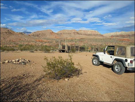 Mud Hills Corral Campsite |
Watch Out Other than the standard warnings about hiking in the desert, ... this is a wild and remote area without services of any kind (no restrooms, no water, no gas, no food). Bring what you need to survive. Be prepared and be self-reliant. Someone will find you eventually if you stay on a main road, but be prepared to survive alone for a day or two. Cell phones don't work in this area. While visiting Gold Butte National Monument, please respect the land and the other people out there, and try to Leave No Trace of your passage. Also, this is a remote area, so be sure to bring the 10 Essentials, even if you leave them in the car. Be sure to bring trash bags to clean up after people who care less about wild places than you do. |
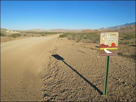 St. Thomas Gap Intersection Campsite |
Getting to the Gold Butte Road Campsites The Gold Butte Road campsites are located out in Gold Butte National Monument at the northeast end of Lake Mead, 2 hours northeast of Las Vegas in a wild, remote, and scenic area. From Las Vegas, drive out to Gold Butte National Monument. Drive south on the paved Gold Butte Road for 21 miles to Whitney Pocket. From there, continue south on the unpaved Gold Butte Road. Gold Butte Road starts out pretty bumpy as if paved in cobblestones, but carefully driven 2WD vehicles should have no problem assuming no washouts. The first campsite is located on the right, 3.5 miles south of Whitney Pocket (just past a fenceline and old cattle guard gate). The next site is located 8.3 miles out on the left at the end of a short spur road. The third is 9.0 miles out at the intersection of Gold Butte Road and St. Thomas Gap Road. The fourth campsite is located 12.9 miles out, on the left. |
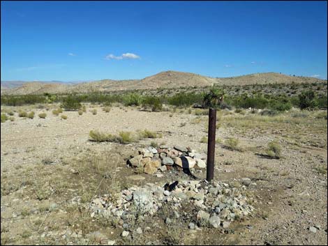 Drill Site Campsite |
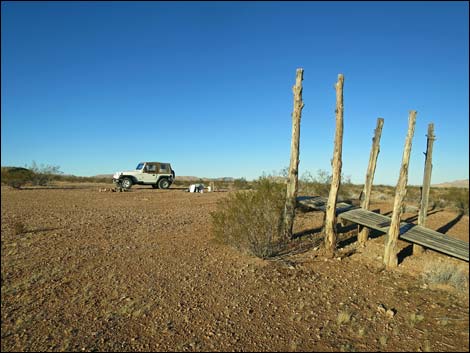
Gold Butte Road Campsites These sites provide a nice alternative to the sometimes-crowded conditions in the Whitney Pocket camp area. Each site is suitable for a single party (group of camper rigs), so except for traffic on the main road, these sites are isolated and campers have the opportunity to experience the grand expanse of a wild desert. The Mud Hills Corral Campsite is located at an historic corral. People have vandalized the corral to acquire wood for fires, but please don't damage the corral. This is an item of historic interest, and when it is gone, it will be gone forever. |
Gold Butte Road Campsite #1; Wash Overlook Campsite
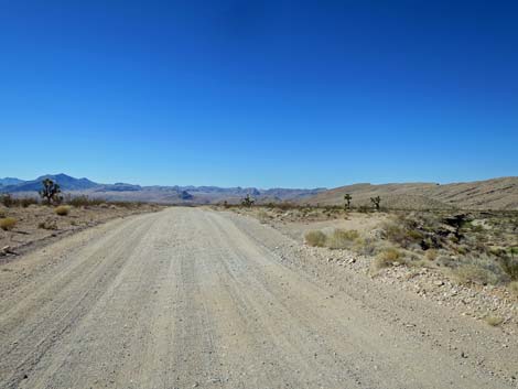
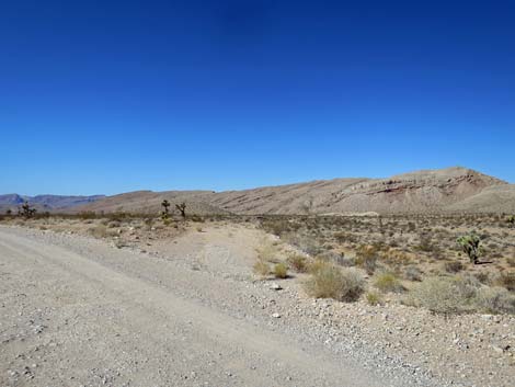
Located along Gold Butte Road 1.7 miles south of Whitney Pocket, this site is on the right atop a low ridge overlooking a wash. The site is small, suitable for a tent or two, or a pickup camper, and has a nice view to the south.
 |
 |
Gold Butte Road Campsite #2; Old Road Campsite
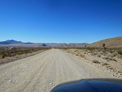
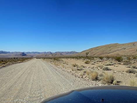
Located along Gold Butte Road 2.9 miles south of Whitney Pocket, this site is on the right. This is an old piece of road that was left behind when the current road was straightened. Technically this site is a pull-through, but the lower (south) end is a bit washed out and the road grader left a berm that some will find hard to drive over. This site is suitable for a couple of RVs and provides grand views all around.
 |
 |
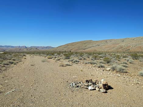 Campsite |
 More to come ... |
Gold Butte Road Campsite #3; Cattle Guard Campsite
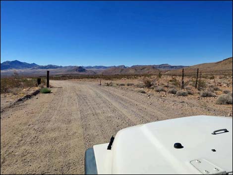
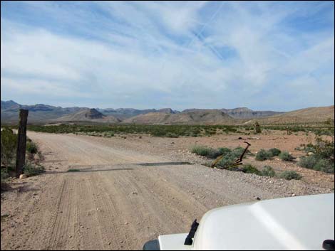
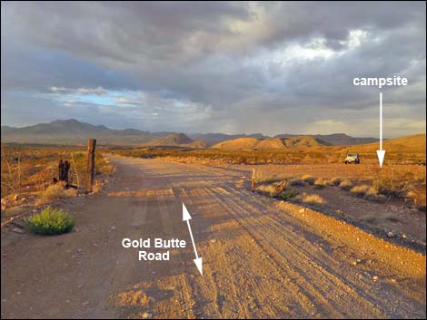
Located along Gold Butte Road 3.5 miles south of Whitney Pocket, this site is on the right just past a fenceline and old cattle guard gate. The site is large enough for several large camper rigs and provides grand views out across the desert from Tramp Ridge and Mud Wash to the south to Virgin Peak to the north.
 |
 |
 |
 |
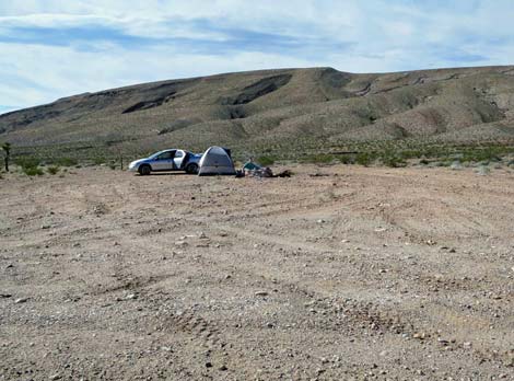 Cattle guard Campsite occupied (view W) |
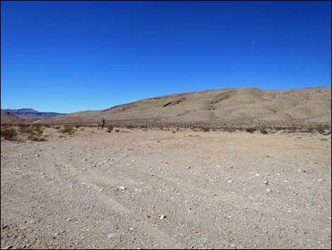 Cattle guard Campsite vacant (view W) |
Gold Butte Road Campsite #4; Mud Hills Corral Campsite
The Mud Hills Corral Campsite is located at the end of a short spur road (link to details) adjacent to the historic Mud Hills Corral.
 |
 |
Gold Butte Road Campsite #5; St. Thomas Gap Intersection Campsite
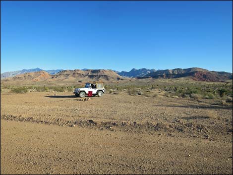
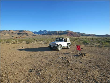
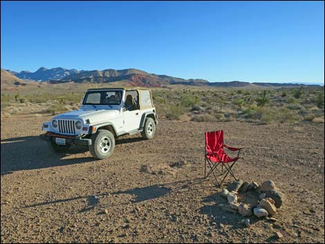
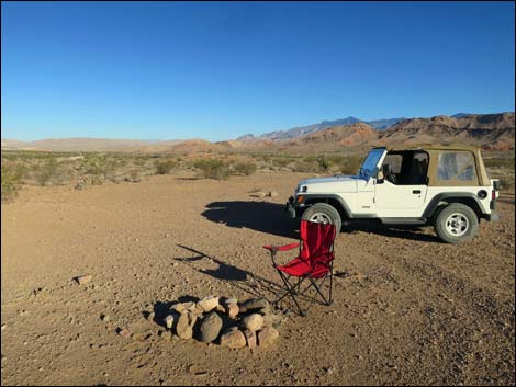
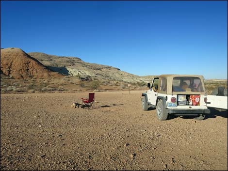
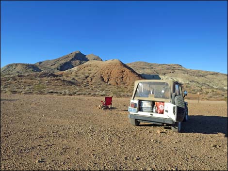
Of the campsites along Gold Butte Road, this is the smallest and most open to traffic along the main road. It is big enough for one or two trailers or RVs, and it provides grand views out across the desert. In particular, the black and red Mud Hills really stand out in afternoon light. This site provides a good jumping off point to explore deep into Grand Canyon - Parashant National Monument on the border in Arizona (east along St. Thomas Gap Road).
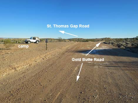 St. Thomas Gap Intersection Campsite (view S) |
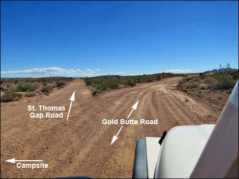 Gold Butte Road at St. Thomas Gap Road (view S) |
 |
 |
 |
 |
 |
 |
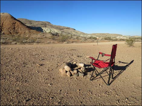 St. Thomas Gap Intersection Campsite (view NW) |
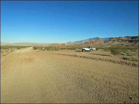 Gold Butte Road at St. Thomas Gap Campsite (view N) |
 Gold Butte Backcountry Byway sign at edge of campsite (view S) |
 More to come ... |
Gold Butte Road Campsite #6; Drill Site Campsite
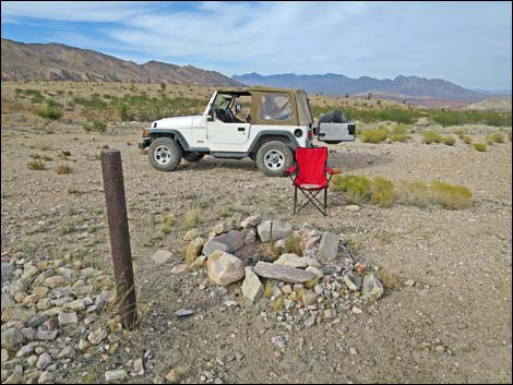
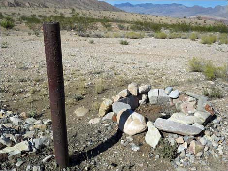
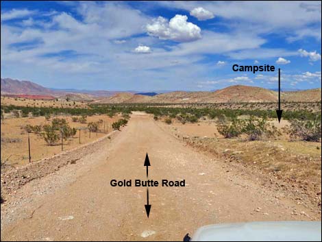
This is the site of an exploratory well drilled, I think, in the 1980's when someone was looking for oil. They didn't find any oil, but the rusting well casing remains. This site is big enough for several large camper rigs and provides grand views north. The view west gives a close-up of the steep, east facing limestone sides of the Tramp Ridge complex.
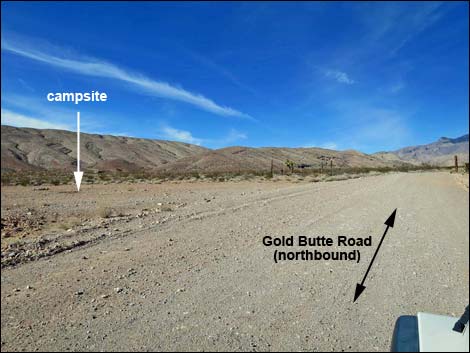 Gold Butte Road approaching Drill Site Campsite (view S) |
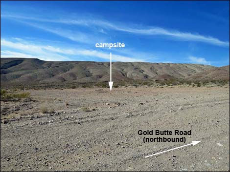 Gold Butte Road at Drill Site Campsite (view S) |
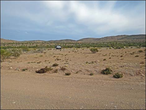 Camper in camp (view E from Gold Butte Road) |
 Camper in camp (view N) |
 |
 |
 |
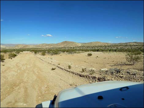 |
Table 1. Highway Coordinates Based on GPS Data (NAD27; UTM Zone 11S). Download Highway GPS Waypoints (*.gpx) file.
| Site | Location | UTM Easting | UTM Northing | Latitude (N) | Longitude (W) | Elevation (ft) |
|---|---|---|---|---|---|---|
| CG-camp | Cattle Guard Campsite | 753831 | 4040729 | 36.48007 | 114.16678 | 2,441 |
| DS-camp | Drill Site campsite | 756920 | 4027455 | 36.35973 | 114.13674 | 2,887 |
| MHC-camp | Mud Hills Corral Campsite | 757407 | 4034410 | 36.42222 | 114.12901 | 2,372 |
| OR-camp | Old Road Campsite | 754208 | 4041620 | 36.48799 | 114.16228 | 2,542 |
| STG-camp | St. Thomas Gap Campsite | 757995 | 4033499 | 36.41386 | 114.12277 | 2,428 |
| WO-camp | Wash Overlook Campsite | 755141 | 4043166 | 36.50167 | 114.15137 | 2,765 |
Happy Hiking! All distances, elevations, and other facts are approximate.
![]() ; Last updated 240325
; Last updated 240325
| Camping | Hiking Around Gold Butte | Hiking Around Las Vegas | Glossary | Copyright, Conditions, Disclaimer | Home |