
Hiking Around Las Vegas, Gold Butte National Monument

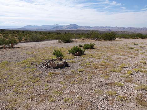 Whitney Pass Road at Toe-of-the-Ridge Campsite (view E) |
Overview The Whitney Pass Road campsites are just east and uphill from the Whitney Pocket area, a popular undeveloped camping and picnic area way out in the desert. The Whitney Pass Road campsites provide more privacy and can be a bit cooler because they are at higher elevations. There is no water, and there are no toilets, no trash cans, and no picnic tables. Bring what you need and take it home when you leave. There is truck parking a couple of miles west on Interstate-15 where campers can dump trash without taking it back to Las Vegas. Beyond Whitney Pocket, three campsites are scattered Whitney Pass Road. The first two campsite are suitable for large trailers and RVs, but the remaining site is smaller and better suited for smaller vehicles. A fourth campsite, located at the end of Quail Spring Road, is better suited for jeeps and pickups and 4WD is handy. Link to map. |
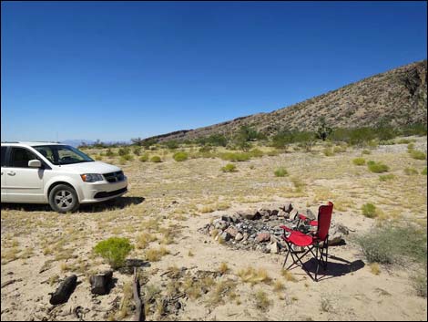 Quail Point Road (view W towards Whitney Pass Road) |
Watch Out Other than the standard warnings about hiking in the desert, ... this is a wild and remote area without services of any kind (no restrooms, no water, no gas, no food). Bring what you need to survive. Be prepared and be self-reliant. Someone will find you eventually if you stay on a main road, but be prepared to survive alone for a day or two. Cell phones don't work in this area. While visiting Gold Butte National Monument, please respect the land and the other people out there, and try to Leave No Trace of your passage. Also, this is a remote area, so be sure to bring the 10 Essentials, even if you leave them in the car. Be sure to bring trash bags to clean up after people who care less about wild places than you do. |
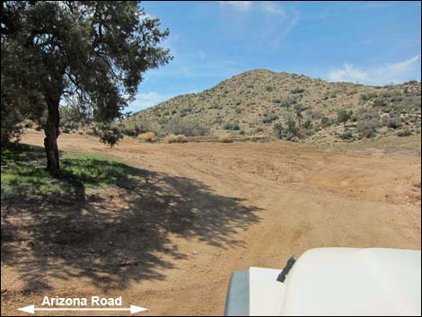 Entrance to Whitney Pass Campsite (view S from Arizona Rd) |
Getting to Whitney Pass Road Campsites The Whitney Pass Road campsites are located out in Gold Butte National Monument at the northeast end of Lake Mead, about 2 hours northeast of Las Vegas in a wild, remote, and scenic area. From Las Vegas, drive out to Gold Butte National Monument. Drive south on the paved Gold Butte Road for 21 miles to Whitney Pocket. The unpaved Gold Butte Road continues south, and in only 100 yards, Whitney Pass Road forks off to the left heading east and uphill alongside red-and-white sandstone crags. Drive east, uphill, through the Whitney Pocket area. The first campsite is located 1.1 miles east of Gold Butte Road where the road passes the toe of a ridge, the turnoff to the second is at the base of the mountains at 2.0 miles out, and the last is up in the mountains at 4.2 miles out. |
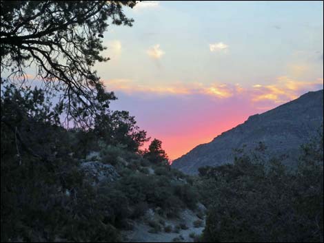 Sunset from Whitney Pass Campsite (view W) |
Whitney Pass Road Campsites The first two sites provide a nice alternative to the sometimes-crowed conditions in the Whitney Pocket camp area, and the third is up in the mountains at about 5,000-ft elevation where snow sticks in the winter and summer temperatures are considerably cooler. For the more adventuresome, consider driving 1.6 miles out Quail Point Road and camping at the end of the road. There is an historic water trailer out there, but nothing else except Joshua trees, birds, and coyotes. |
Whitney Pass Road Campsite #1; Toe-of-the-Ridge Campsite
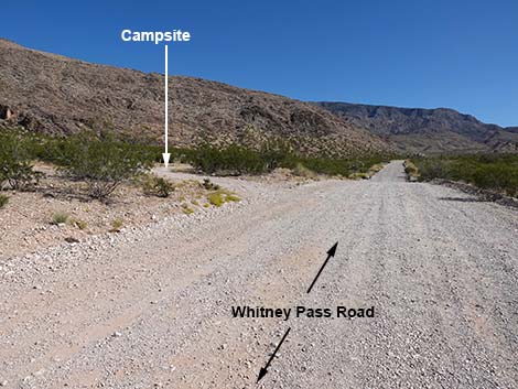 Whitney Pass Road approaching Campsite #1 (view E) |
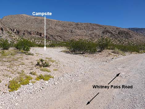 Whitney Pass Road at Campsite #1 (view NE) |
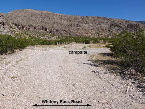 Campsite #1 (view NE from Whitney Pass Road) |
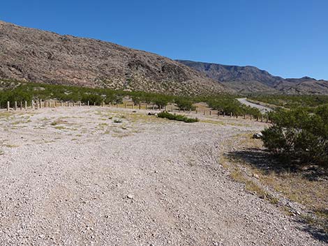 Entering Campsite #1 (view E) |
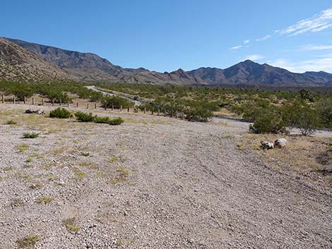 Campsite #1 (view SE) |
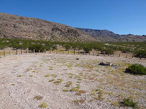 Campsite #1 (view E) |
 Campsite #1 (view SW) |
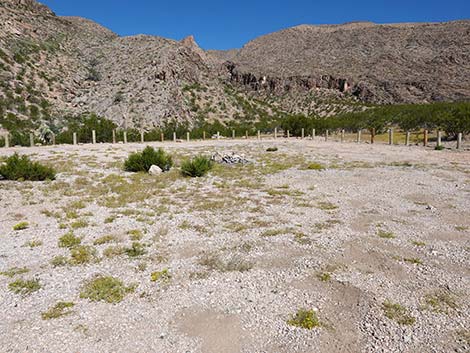 Campsite #1 (view N) |
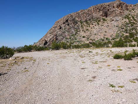 Campsite #1 (view W) |
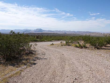 Departing Campsite #1 (view SW) |
Whitney Pass Road Campsite #2; Quail Point Campsite
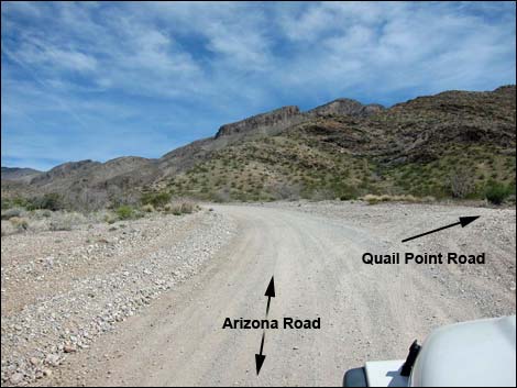 Whitney Pass Road at Quail Point Road (view E) |
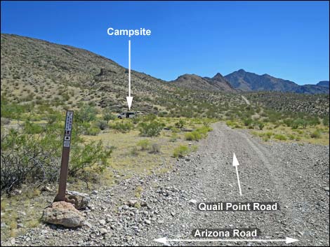 Quail Point Road (view S from Whitney Pass Road) |
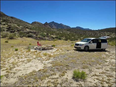 Quail Point Campsite (view N) |
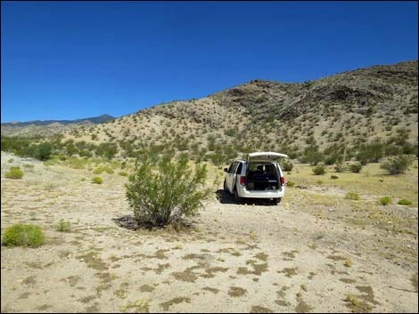 Quail Point Campsite (view NW) |
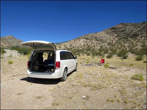 (view NW) |
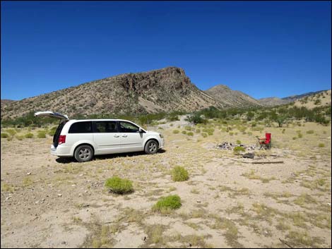 (view N) (view N) |
 Quail Point Campsite (view W) |
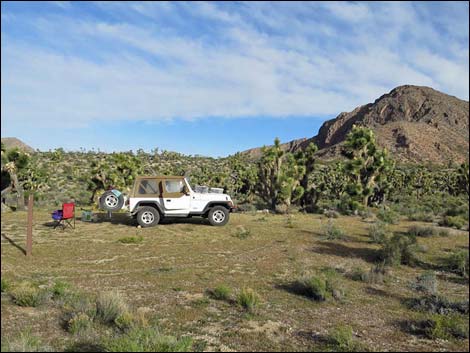 Secluded jeep campsite at end of Quail Point Road (view N) |
Whitney Pass Road Campsite #3; Whitney Pass Campsite
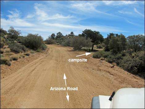 Whitney Pass Road at Whitney Pass Campsite turnoff (view E) |
 Entrance to Whitney Pass Campsite (view S from Arizona Rd) |
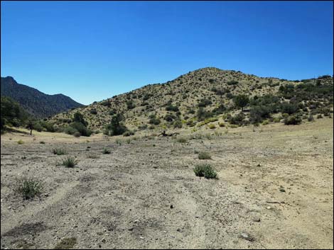 Whitney Pass Campsite (view SW) |
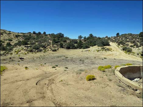 Whitney Pass Campsite (view W) |
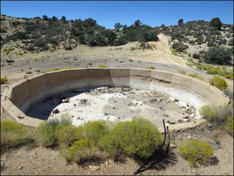 Whitney Pass Campsite (view W) |
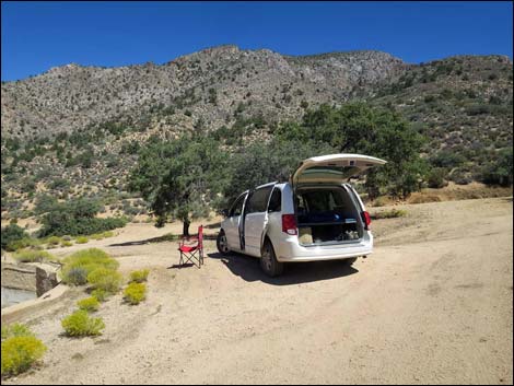 Whitney Pass Campsite (view N) |
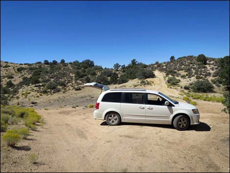 Whitney Pass Campsite (view W) |
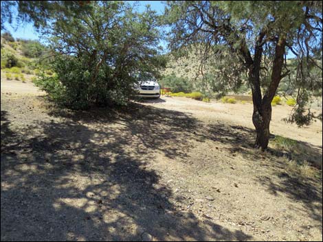 Whitney Pass Campsite (view S) |
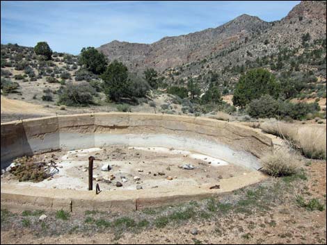 Historic circular watering trough at Whitney Pass Camp (view W) |
 Sunset from Whitney Pass Campsite (view W) |
Table 1. Highway Coordinates Based on GPS Data (NAD27; UTM Zone 11S). Download Highway GPS Waypoints (*.gpx) file.
| Site | Location | UTM Easting | UTM Northing | Latitude (N) | Longitude (W) | Elevation (ft) |
|---|---|---|---|---|---|---|
| 0462 | Gold Butte Rd at Whitney Pass Road | 756161 | 4045602 | 36.52333 | 114.13919 | 3,013 |
| AZ_Rd_Camp-1 | Whitney Pass Road Campsite #1 | 757890 | 4045722 | 36.52394 | 114.11986 | 3,386 |
| AZ_Rd_Camp-2 | Whitney Pass Road Campiest #2 | 759291 | 4046348 | 36.52920 | 114.10402 | 3,717 |
| AZ_Rd_Camp-3 | Whitney Pass Road Campiest #3 | 762161 | 4046736 | 36.53192 | 114.07187 | 4,843 |
| QP-Jeep-camp | Quail Point Road Jeep Campsite | 760885 | 4045139 | 36.51789 | 114.08665 | 3,808 |
Happy Hiking! All distances, elevations, and other facts are approximate.
![]() ; Last updated 240325
; Last updated 240325
| Camping | Hiking Around Gold Butte | Hiking Around Las Vegas | Glossary | Copyright, Conditions, Disclaimer | Home |