
Hiking Around Las Vegas, Gold Butte National Monument

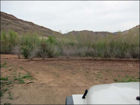 Arriving at the trailhead (2013; view S) |
Overview Devils Finger is a rocky ridge that juts out into Lake Mead or the Colorado River, depending on water levels. Regardless, this is the bottom end of the Grand Canyon where the river flows out of deep canyons and into the open desert. The watery cove formed by the rocky ridge is Devils Cove. From the end of the road (depending on water levels), the 1.7-mile route follows the ridge out to the river (a bit of Class 2 terrain near the end), then loops back staying on the highest ridges until dropping back into the Devils Cove parking area. Link to map. |
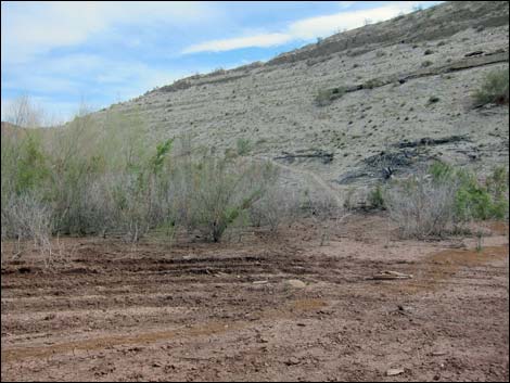 Use-trail onto hillside (view SW) |
Watch Out Other than the standard warnings about hiking in the desert, ...this is a wild and remote area. I encountered no unusual hazards, but be careful near the water as a twisted ankle out here would be more serious than in less-remote areas. Upper Devils Cove Road is graded, but the lower canyon is sandy, rocky, subject to wash outs, and requires a 4WD vehicle, so drive carefully. This is a wild and remote area without services of any kind (no restrooms, no water, no gas, no food). Bring what you need to survive. Be prepared and be self-reliant. Someone will find you eventually if you stay on a main road, but be prepared to survive alone for a day or two. Cell phones only work along parts of the paved road. While hiking, please respect the land and the other people out there, and try to Leave No Trace of your passage. Also, in this remote hike, be sure to bring the 10 Essentials. |
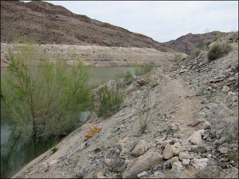 Use-trail along hillside (view S) |
Getting to the Trailhead Devils Finger is located out in the Gold Butte region at the northeast end of Lake Mead, about 5 hours northeast of Las Vegas in a wild, remote, and scenic area at the edge of the Colorado River (or Lake Mead if water levels ever come back up. From town, drive out to Gold Butte National Monument. From Whitney Pocket, continue south on Gold Butte Road for 16.2 miles to a fork in the road. Stay left onto Devils Cove Road and drive southeast for an additional 14.5 miles to the end of the road (Site 0595). Note that Devils Cove Road requires a 4WD vehicle at about 10 miles out. Park here; this is the trailhead, but don't get stuck in the deep mud near the edge of the water. For details of the roads and GPS data, see the road descriptions linked above. |
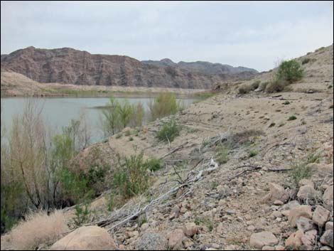 Use-trail along hillside (view S) |
The Hike From the trailhead (Table 1, Waypoint 01), the route climbs onto the side of the ridge to the west following a use-trail. After climbing a few yards of elevation (Wpt. 02), the use-trail contours out along the hillside following an old lakeshore, which makes a nice, flat, and level trail, although the outside edge can be soft. Gullies can be contoured around or hiked across by busting through formerly floating debris (brush, logs, pieces of boats) deposited when the water level was higher. Eventually, however, the sidehill becomes so steep that hikers are forced onto the ridgetop (Wpt. 03). |
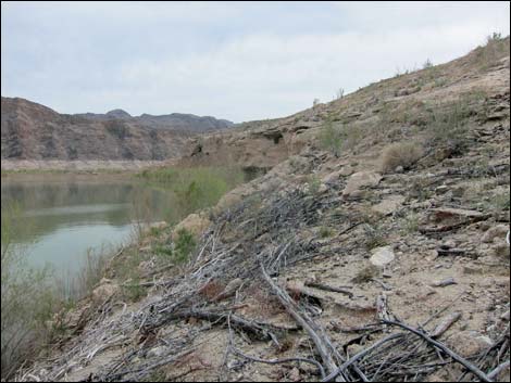 Use-trail along hillside (view S) |
Continuing out, the route climbs over a highpoint (Wpt. 04) with grand views over the surrounding territory, then descends a narrow, rocky ridge to the edge of the water (Wpt. 05), which is the Devils Finger Tip. Depending on the situation, hikers might take a swim or just dip a toe in the mighty Colorado, but be careful not to get swept downstream in the cold current. When ready, return to the highpoint (Wpt. 04), then continue north atop the ridge (Wpt. 03). After climbing a sand dune on the ridgeline ahead, hikers gain the top (Wpt. 06) of fairly flat, rolling terrain with monuments of various sorts and use-trails that all lead northward. Along the east edge of the ridge, hikers can look down and see the trailhead. Continuing a bit farther north (Wpt. 07), the use-trail descends the steep hillside into Devils Cove Wash (Wpt. 08). A few minutes of walking down the wash returns hikers to the trailhead (Wpt. 01). |
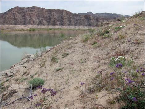 Use-trail along hillside (view S) |
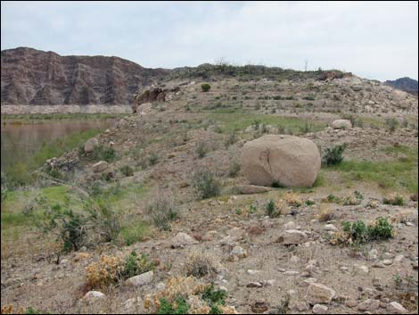 Atop ridgeline (view S towards highpoint) |
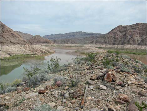 Highpoint (view SE into the Grand Canyon) |
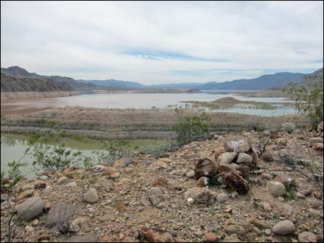 Highpoint (view SW towards Lake Mead) |
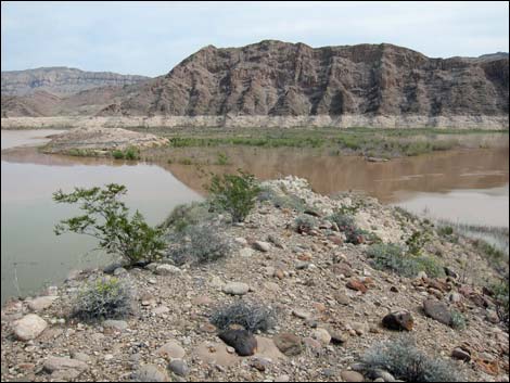 Descending narrow ridgeline (view SE from near highpoint) |
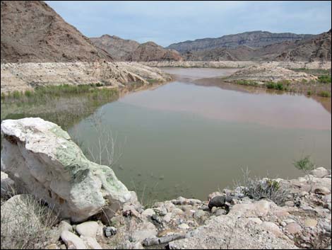 Ridgeline (view SE into the Grand Canyon) |
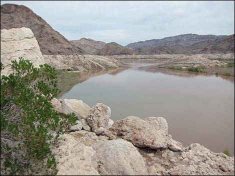 Ridgeline (view SE into the Grand Canyon) |
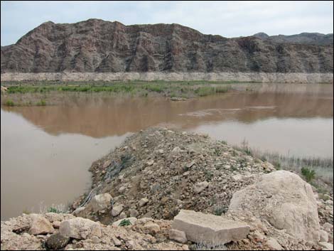 Ridgeline (view S into the Colorado River) |
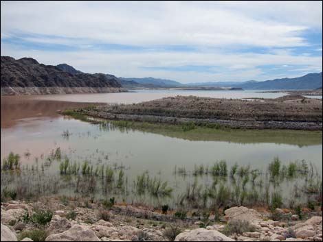 Ridgeline (view SW towards Lake Mead) |
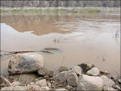 The tip of Devils Finger (view S into Colorado River) |
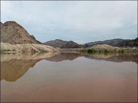 The tip of Devils Finger (view SE into Grand Canyon) |
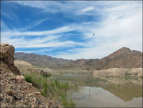 The tip of Devils Finger (view NE into Devils Cove) |
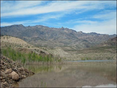 The tip of Devils Finger (view NE into Devils Cove) |
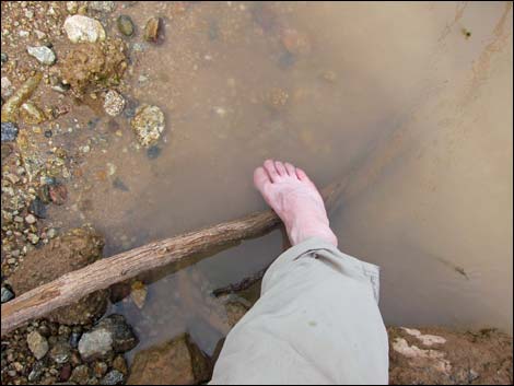 Dipping a toe into the mighty Colorado River |
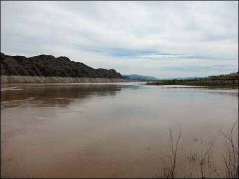 The tip of Devils Finger (view SE into Lake Mead) |
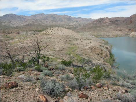 Returning: Highpoint (view N towards Devils Cove) |
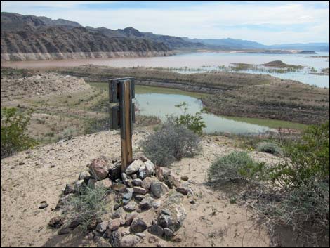 Monument overlooking the lake (view SW) |
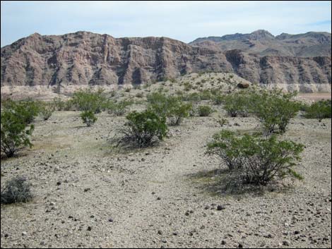 Returning: looking back (view S towards Highpoint) |
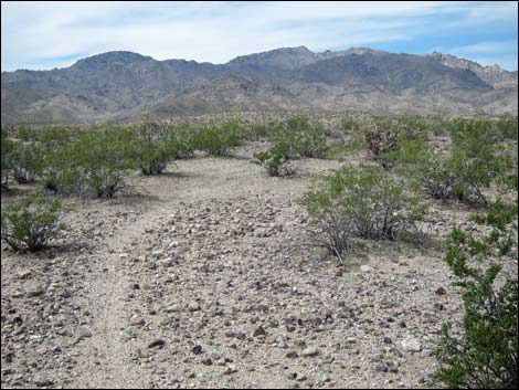 Returning: use-trail on desert flats (view N) |
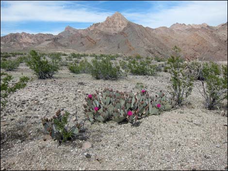 Returning: blooming cactus on desert flats (view NE) |
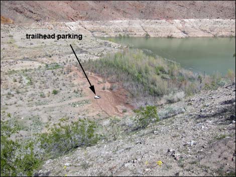 Returning: looking down on trailhead (view E) |
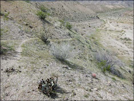 Returning: use-trail descending steep hillside (view N) |
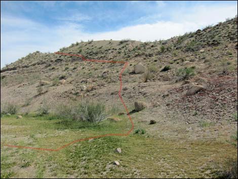 Looking back up use-trail (view SW from Devils Cove Wash) |
 more to come ... |
Table 1. Hiking Coordinates Based on GPS Data (NAD27, UTM Zone 11S). Download Hiking GPS Waypoints (*.gpx) file.
| Wpt. | Location | UTM Easting | UTM Northing | Elevation (ft) | Point-to-Point Distance (mi) | Cumulative Distance (mi) | Verified |
|---|---|---|---|---|---|---|---|
| 01 | Devils Finger Trailhead | 761162 | 4004991 | 1,141 | 0.00 | 0.00 | GPS |
| 02 | Route Starts Up Hillside | 761166 | 4004959 | 1,137 | 0.04 | 0.04 | GPS |
| 03 | Ridgetop | 761441 | 4004558 | 1,172 | 0.41 | 0.45 | GPS |
| 04 | Highpoint | 761557 | 4004439 | 1,230 | 0.12 | 0.57 | GPS |
| 05 | Devils Finger Tip | 761757 | 4004369 | 1,111 | 0.17 | 0.74 | GPS |
| 04 | Highpoint | 761557 | 4004439 | 1,230 | 0.15 | 0.89 | GPS |
| 03 | Ridgetop | 761441 | 4004558 | 1,172 | 0.11 | 1.00 | GPS |
| 06 | Knob | 761370 | 4004621 | 1,254 | 0.10 | 1.10 | GPS |
| 07 | Top of Hillside | 761093 | 4004905 | 1,267 | 0.28 | 1.38 | GPS |
| 08 | Base of Hillside | 760951 | 4005031 | 1,161 | 0.14 | 1.52 | GPS |
| 01 | Devils Finger Trailhead | 761162 | 4004991 | 1,141 | 0.15 | 1.67 | GPS |
Happy Hiking! All distances, elevations, and other facts are approximate.
![]() ; Last updated 240325
; Last updated 240325
| Hiking Around Gold Butte | Hiking Around Las Vegas | Glossary | Copyright, Conditions, Disclaimer | Home |