
Hiking Around Las Vegas, Gold Butte National Monument

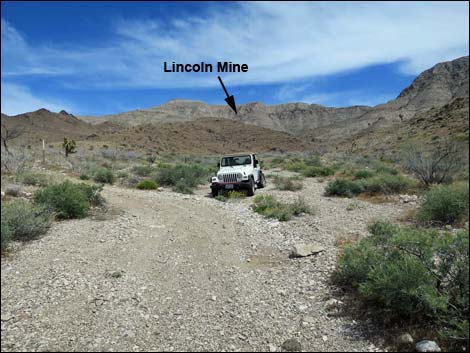 Lincoln Mine Road at Lincoln Mine Trailhead (view E) |
Overview. Lincoln Mine was a copper mine with some silver and gold high on the west face of Tramp Ridge. Originally operated by H.W. Burgess in the 1900s, USGS Bulletin 648, dated 1916, mentions that work had ceased by 1911. A report by Nevada Division of Minerals, dated 2011, seems to confirm this by mentioning that dynamite, some dated 1910, was removed from the mine in 2011. However, electrical fixtures (e.g., flexible metallic conduit and modern junction boxes) and other debris at the mine site suggest more recent workings. This hike follows the old mine road up a broad valley until it seems to end at a narrow, rocky wash by a cave used by miners as a camp. Continuing up the rocky wash, the old road eventually resumes on the left, and the steep mine road is followed up the canyon to a landing below the mine tailing pile. The route ends among interesting mining debris and grand views to the west, but fools like me risk life and limb to climb to the mine, proper. Enjoy my photos, but stop at the landing and enjoy the views. The miners hiked in from the north and used cables to get from the landing to the mine -- even they didn't climb this hillside. Link to hiking map. |
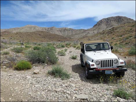 Lincoln Mine Trailhead (view E) |
Watch Out Other than the standard warnings about hiking in the desert, ... the hike to the landing is relatively safe, but stay off the tailings pile and stay out of the mine, as mines are never safe to enter. This is wild and remote country without services of any kind (no restrooms, no water, no gas, no food). Bring what you need to survive. Be prepared and be self-reliant. It is a big place, but someone will eventually find you if you stay on a main road, but be prepared to survive alone for a day or two, or even longer on side roads. Consider signaling the tourist helicopters that traverse the area coming and going from the Grand Canyon. While hiking, please respect the land and the other people out there, and try to Leave No Trace of your passage. Also, this is a remote hike, so be sure to bring the 10 Essentials. |
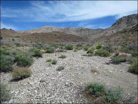 Starting up the wash (view ESE) Starting up the wash (view ESE) |
Getting to the Trailhead Lincoln Mine is located out in Gold Butte National Monument at the northeast end of Lake Mead, about 3.5 hours northeast of Las Vegas in a wild, remote, and scenic area. From town, drive out to Gold Butte National Monument. From Whitney Pocket, continue south on the unpaved Gold Butte Road to Gold Butte Townsite. From the Townsite, drive northwest on Red Bluff Spring Road 2.3 miles to Lincoln Mine Road. Turn right onto Lincoln Mine Road and drive northeast 2.7 miles. Here, the road has been ascending a gravel wash, but suddenly turns left to climb out of the wash to the north. When the road bends left, pull off the road in the wash. Park here; this is the trailhead. |
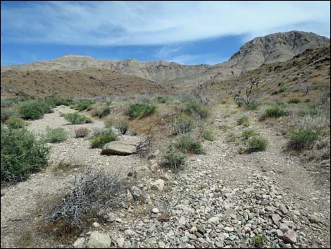 The old road becomes apparent (view ESE) |
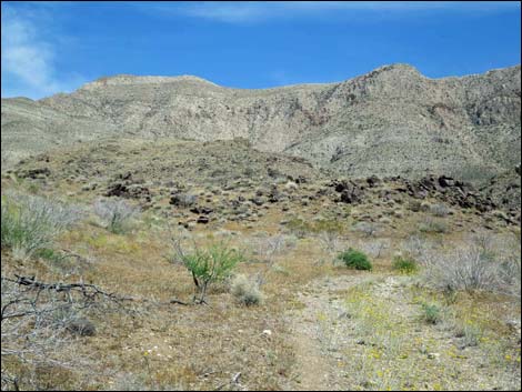
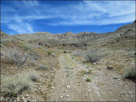
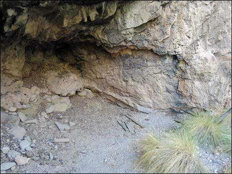
The Hike From the trailhead (Table 1, Waypoint 01), the route starts up the wash, but soon the old mining road becomes apparent on the right. The route follows the old road, which crosses (Wpt. 02) to the north side of the wash and then crosses (Wpt. 03) to the south side, before just dropping into the wash (Wpt. 04) and following it upstream. The wash becomes narrow at the base of the mountains (Tramp Ridge). On the left, a cave (Wpt 05) was used as a camp by miners, evidenced by historic cans, a rusting stove made from three, 2-1/2-gallon square cans, other rusting debris, and some old boards. Continuing, the route climbs northeast through a gap in the cliffs where the wash is choked with flashflood debris. Passing below more caves above on the left, the canyon bends right to run southeast, and shortly the canyon forks (Wpt 06). |
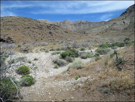 The old road crosses the wash (view E) |
At the fork (Wpt 06), it appears that the old road continues southeast on the far side of the right fork. Instead, however, the road bends left continuing around the corner and heading northeast up the left fork. It is likely, however, that miners approached the mine entrance on foot using the right fork and climbing steep hillsides to approach the mine from the back. Staying left on the old road, the route ascends the canyon steeply until turning abruptly right (Wpt. 07) and contouring into the landing at the base of the tailing pile (Wpt. 08). There is some interesting mining debris in the area, including chutes constructed from 55-gallon drums cut lengthwise and welded together, gas canisters, cables, and electrical light fixtures. The mine above beckons, but the land is very steep, and the miners poured tons of loose tailings down the hillside. It is not safe to climb the hillside, and of course, it would not be safe to enter the mine. |
 |
 |
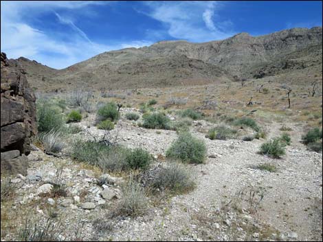 The old road crosses the wash a second time (view E) |
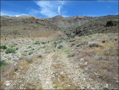 The old road continue towards the narrow canyon ahead (view E) |
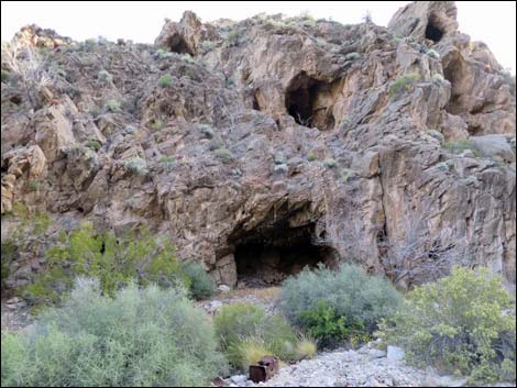 Approaching the miner's cave (view NE) |
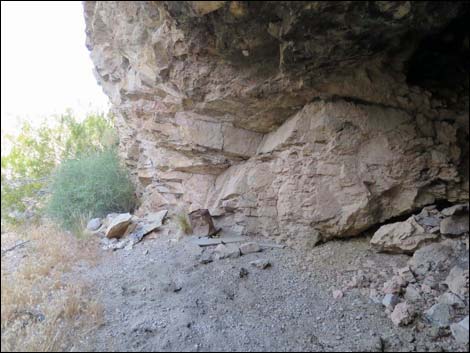 Miner's cave (view W) |
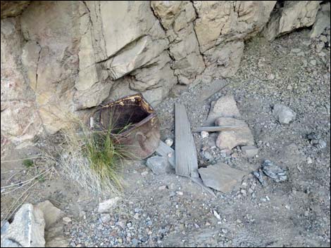 Historic debris inside miner's cave (view W) |
 Historic debris inside miner's cave (view W) |
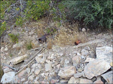 Historic debris outside miner's cave (view W) |
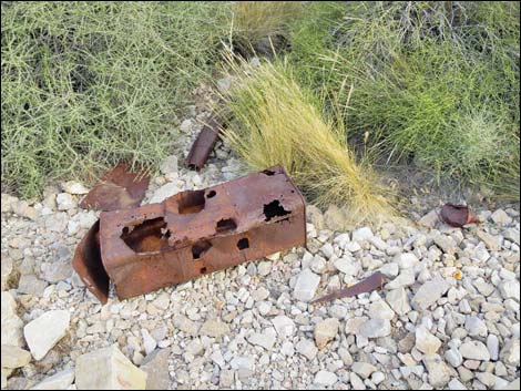 Historic debris (stove) outside miner's cave (view W) |
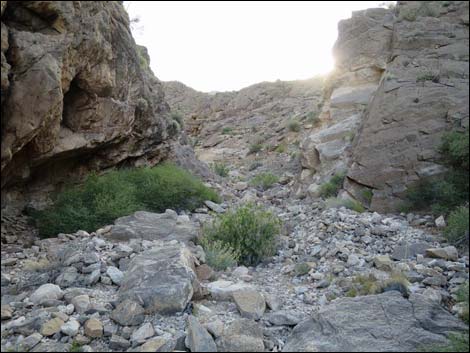 Route runs up through a gap in the cliff (view NE) |
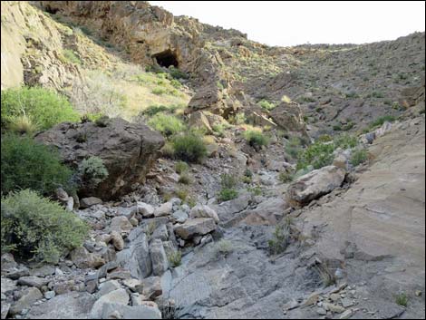 Wash choked with flashflood debris (view NE) |
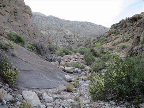 Wash choked with flashflood debris (view SE) |
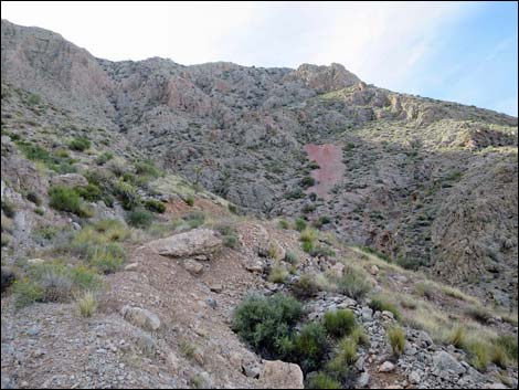 Turning the corner to contour onto the mine landing (view E) |
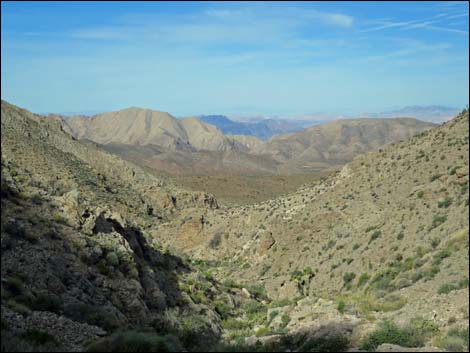 |
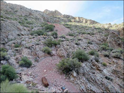 Mining debris at bottom of tailings pile (view S) |
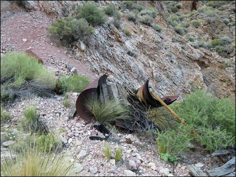 Landing at the end of the road (view S) |
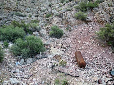 Historic mining debris at the landing (view SE) |
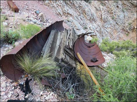 Historic mining debris (view S) |
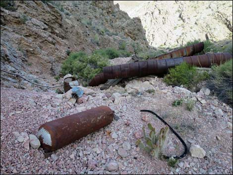 Historic mining debris at the landing (view SW) |
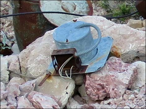 Flexible metallic conduit and modern junction box |
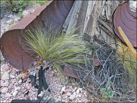 Chutes constructed from 55-gallon drums cut lengthwise |
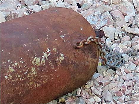 Chains used to haul gas cylinder up to the mine |
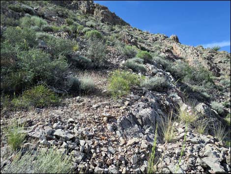 Dangerous hillside below mine opening (view SW) |
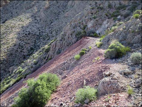 Top of the tailings pile (view E towards mine opening) |
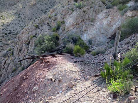 Approaching mine opening (view E) |
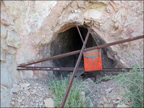 Mine opening -- read the sign: danger, stay out! |
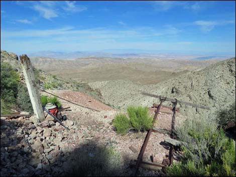 At the mine opening (view NW towards Sheep Range) |
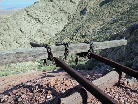 Wooden timber at end of ore car rails (view N) |
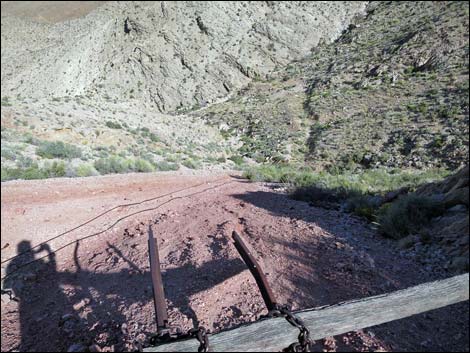 Tailings pile (view N from top looking down to landing) |
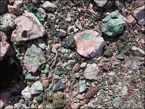 Green copper ore scattered on the ground |
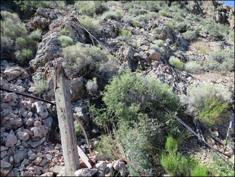 Top of the cableway (view SW) |
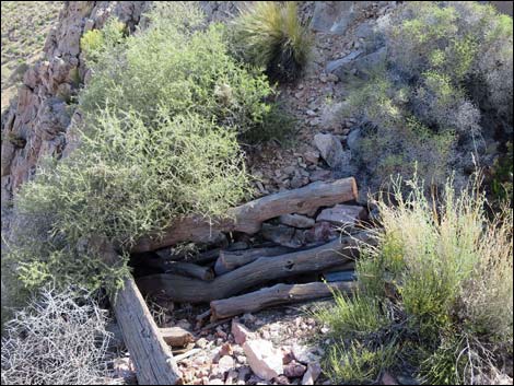 Timbers outside the mine opening (view E) |
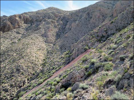 Tramp Ridge Summit (view NE past Lincoln Mine) |
Inside the Mine. Yes, I went in, but that does not make it smart or safe. Enjoy my photos, but stay safe yourself.
 |
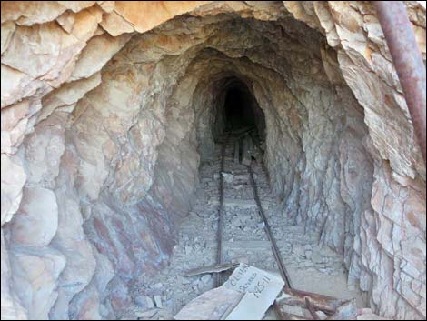 |
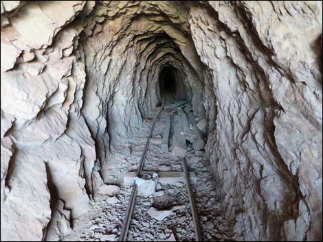 Ore car tracks |
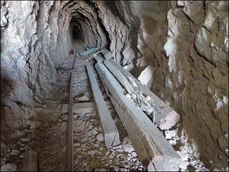 Unused timbers |
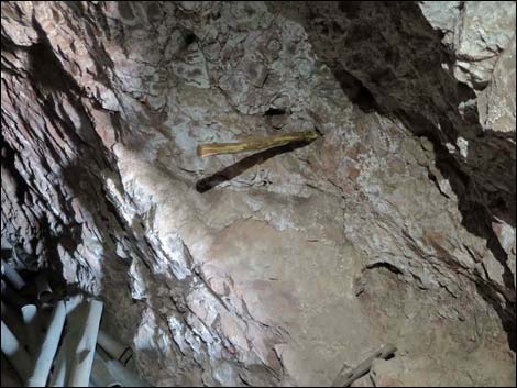 Stick in the wall; used to hold electrical wires? |
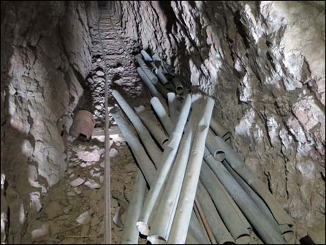 Pipes, probably used to pump fresh air into the back of the mine |
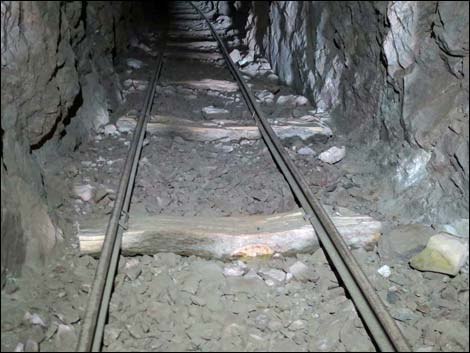 Ore car tracks with split tree trunks for cross-ties |
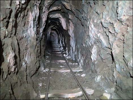 Ore car tracks |
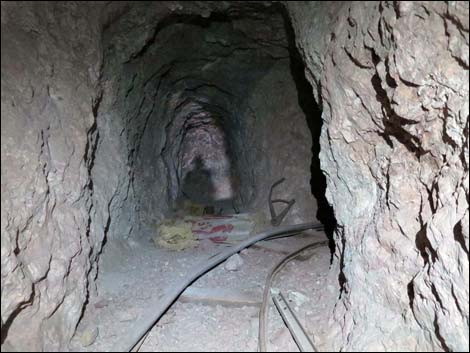 Mine bends right; short alcove goes straight |
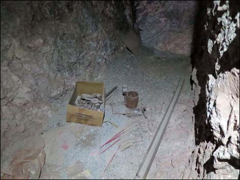 Historic debris in alcove |
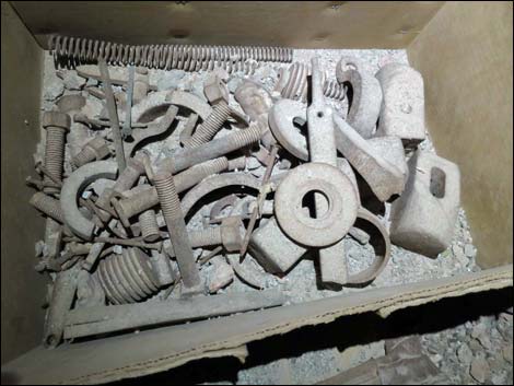 Historic debris in alcove |
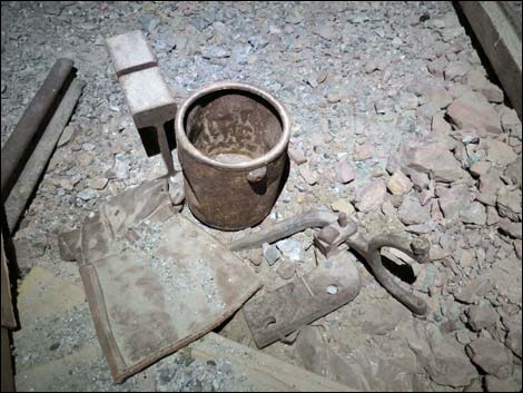 Historic debris in alcove |
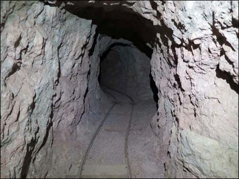 Mine continues right, then bends left |
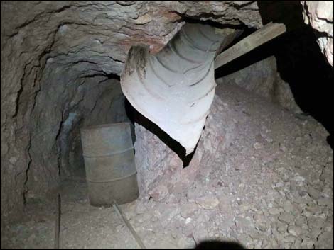 Tracks end at barrel; lateral tunnel on the right |
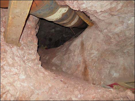 Looking up lateral tunnel under chute |
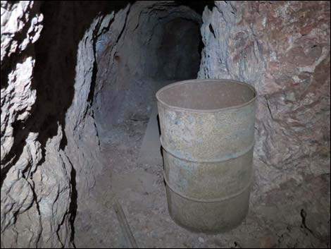 Tracks end at barrel |
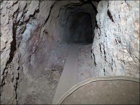 Wooden planks continue past barrel |
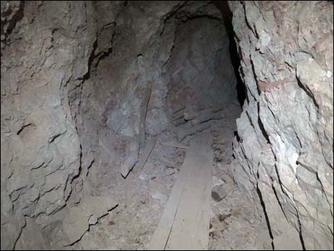 Wooden planks and tree-branch timbers |
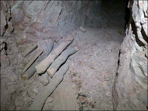 Wooden planks end at tree-branch timbers |
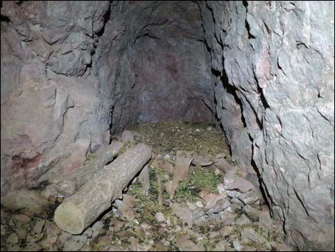 End of the adit; desert woodrats made a home here |
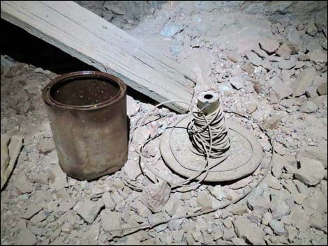 Don't touch anything inside mines |
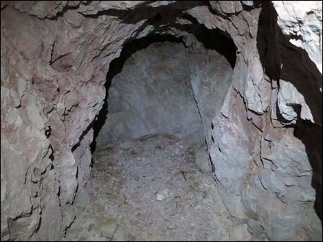
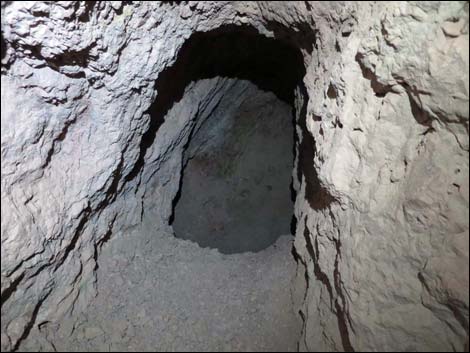 Side pocket |
 Another side pocket |
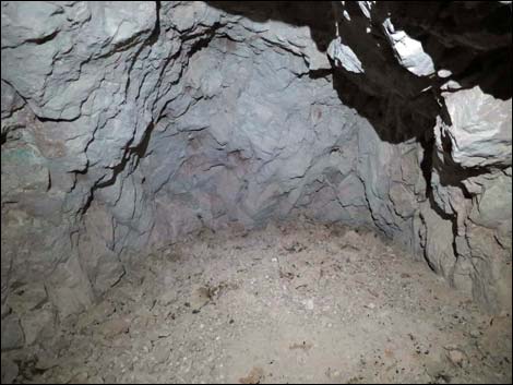 Inside the second side pocket |
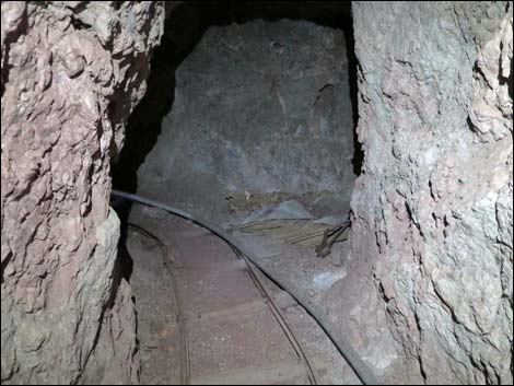 Returning: approaching first alcove |
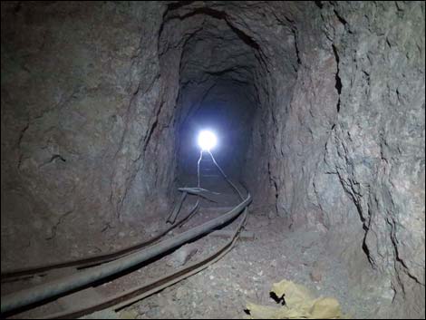 Inside first alcove looking out |
Table 1. Hiking Coordinates and Distances Based on GPS Data (NAD27; UTM Zone 11S). Download Hiking GPS Waypoints (*.gpx) file.
| Wpt. | Location | UTM Easting | UTM Northing | Elevation (ft) | Point-to-Point Distance (mi) | Cumulative Distance (mi) | Verified |
|---|---|---|---|---|---|---|---|
| 01 | Lincoln Mine Trailhead | 751183 | 4024263 | 3,756 | 0.00 | 0.00 | GPS |
| 02 | Cross Wash | 751511 | 4024144 | 3,843 | 0.23 | 0.23 | GPS |
| 03 | Cross Wash | 751804 | 4024048 | 3,928 | 0.20 | 0.43 | GPS |
| 04 | Enter Wash | 752032 | 4024091 | 3,997 | 0.15 | 0.58 | GPS |
| 05 | Residence Cave | 752233 | 4024065 | 4,058 | 0.15 | 0.73 | GPS |
| 06 | Exit Wash onto Old Road | 752334 | 4024075 | 4,109 | 0.10 | 0.83 | GPS |
| 07 | Exit Wash to Contour South | 752744 | 4024317 | 4,418 | 0.35 | 1.18 | GPS |
| 08 | Lincoln Mine Landing | 752784 | 4024252 | 4,463 | 0.05 | 1.23 | GPS |
| 09 | Lincoln Mine | 752800 | 4024202 | 4,576 | 0.07 | 1.30 | GPS |
| 01 | Lincoln Mine Trailhead | 751183 | 4024263 | 3,756 | 1.30 | 2.60 | GPS |
Happy Hiking! All distances, elevations, and other facts are approximate.
![]() ; Last updated 240325
; Last updated 240325
| Hiking Around Gold Butte | Hiking Around Las Vegas | Glossary | Copyright, Conditions, Disclaimer | Home |