
Hiking Around Las Vegas, Gold Butte National Monument

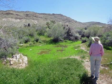 Horse Spring (April 2020) |
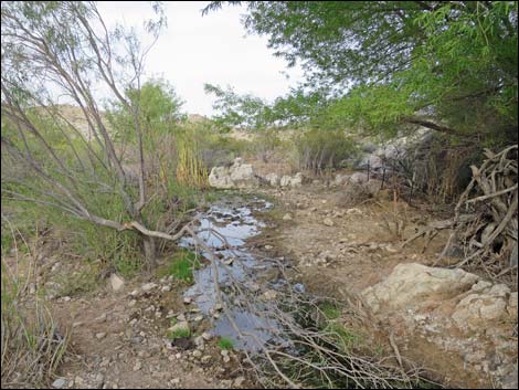
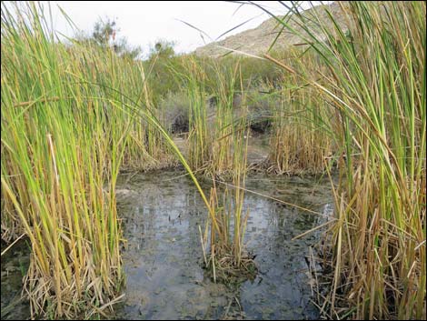
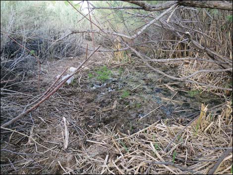
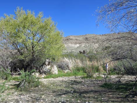
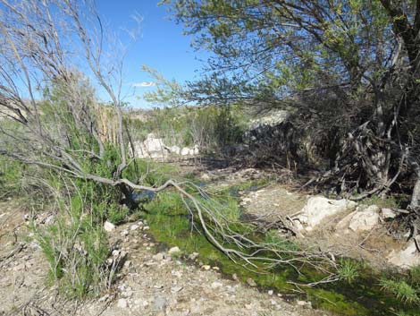
Overview Note: Rogue ranchers have ruined the spring area, captured the water, and have the water running down a pipe to a cattle trough. Horse Spring is a seasonal trickle of water that supports a thicket of trees and large shrubs at the spring include Desert Willow, Catclaw Acacia, Saltcedar, Eastern Joshua Trees, Arrowweed, and Mojave Rabbitbrush. There are lots of Narrowleaf Cattail growing in the water. The water and vegetation support migratory birds and game birds, making this a good place for birdwatchers and hunters, although not at the same time. In recent years, the spring has never gone dry, but it nearly dried down in 2019, and it dried out in 2019. With the regional trend towards drying, this spring may dry down every fall. Just downstream from the spring, Horse Spring Corral is an historic site with stone walls and wooden fencing that remain in fairly good condition. This corral is unusual in that it mixes stone and wooden walls, and there is a stone wall that runs some 230 yards up the hillside to cliffs well above the canyon bottom. Link to map. |
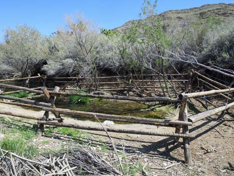 Horse Spring (April 2020) |
Watch Out Other than the standard warnings about hiking in the desert, ... this area is fairly safe, but Horse Spring Road requires a 2WD-HC vehicle, and drivers might consider walking to the spring when the road drops into the sandy wash. Honey bees are attracted to the spring during summer, so visitors should be careful. Don't antagonize the bees because they can be assumed to be Africanized. This is wild and remote country without services of any kind (no restrooms, no water, no gas, no food). Bring what you need to survive. Be prepared and be self-reliant. It is a big place, but someone will eventually find you if you stay on a main road, but be prepared to survive alone for a day or two, or even longer on side roads. While visiting the area, please respect the land and the other people out there, and try to Leave No Trace of your passage. Also, this is a remote area, so be sure to bring the 10 Essentials, even if you leave them in the car. |
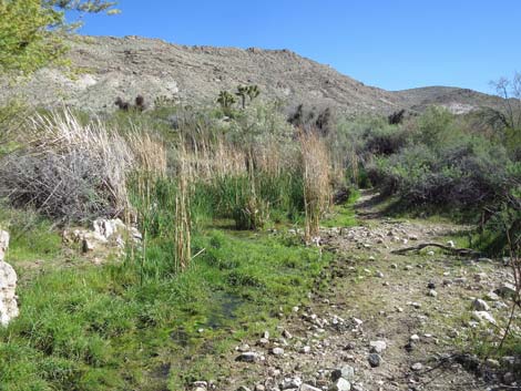 Horse Spring during early April 2017 (view S) |
Getting to Horse Spring Horse Spring is located out in Gold Butte National Monument at the northeast end of Lake Mead, about 3 hours northeast of Las Vegas in a wild, remote, and scenic area. From town, drive out to Gold Butte National Monument. From Whitney Pocket, continue south on the unpaved Gold Butte Road 15.4 miles to Horse Spring Road (Table 1, Site 1780), an unmarked, minor road on the left. Turning left, Horse Spring Road bends left and merges with Horse Spring Road South (Site 1782) entering from the right. Staying left, Horse Spring Road runs northeast angling away from Gold Butte Road and following along the base of a rocky ridge. Horse Spring Road passes a side road (Site 1783) to the right, then shortly drops into the sandy Horse Spring Wash. In the wash, the road continues another 70 yards to Horse Spring (on the right) and then another 70 yards to the corral (on the left). |
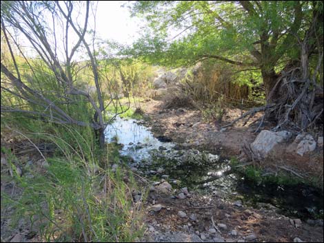 Water flowing from Horse Spring |
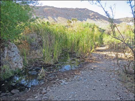 Riparian vegetation at Horse Spring |
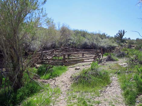 Horse Spring (April 2020) |
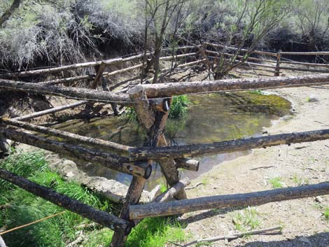 Horse Spring (April 2020) |
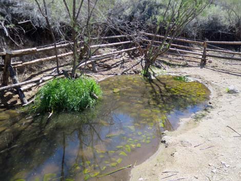 Horse Spring (April 2020) |
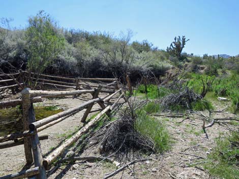 Horse Spring (April 2020) |
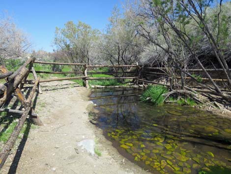 Horse Spring (April 2020) |
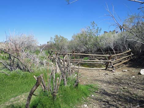 Horse Spring (April 2020) |
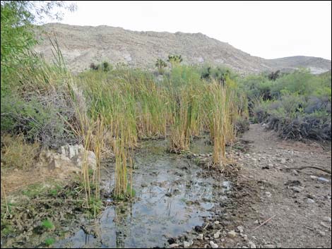 |
 |
 |
 |
 |
 |
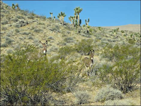 Feral Burro near Horse Spring (adult female and juvenile) |
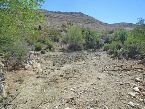 Lower part of Horse Spring dry in September 2018 (view S) |
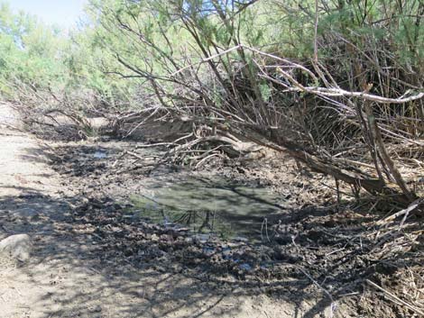 Horse Spring almost dry in September 2018 |
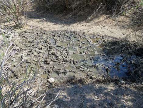 Horse Spring almost dry in September 2018 |
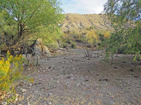 Horse Spring almost dry in November 2018 |
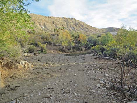 Horse Spring almost dry in November 2018 |
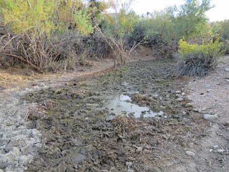 Horse Spring almost dry in November 2018 |
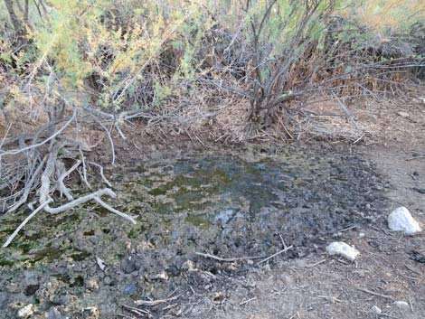 Horse Spring almost dry in November 2018 |
Table 1. Highway Coordinates Based on GPS Data (NAD27; UTM Zone 11S). Download Highway GPS Waypoints (*.gpx) file.
| Site | Location | UTM Easting | UTM Northing | Latitude (N) | Longitude (W) | Elevation (ft) |
|---|---|---|---|---|---|---|
| 1780 | Gold Butte Road at Horse Spring Road North | 756258 | 4023906 | 36.32795 | 114.14528 | 3,036 |
| 1781 | Gold Butte Road at Horse Spring Road South | 756226 | 4023671 | 36.32584 | 114.14571 | 3,218 |
| 1782 | Horse Spring Roads Fork | 756337 | 4023873 | 36.32763 | 114.14441 | 3,040 |
| 1783 | Horse Spring Road at Side Road East | 757299 | 4025689 | 36.34373 | 114.13310 | 2,989 |
| 1784 | Horse Spring Corral | 757647 | 4026340 | 36.34950 | 114.12901 | 2,902 |
Happy Hiking! All distances, elevations, and other facts are approximate.
![]() ; Last updated 240325
; Last updated 240325
| Hiking Around Gold Butte | Hiking Around Las Vegas | Glossary | Copyright, Conditions, Disclaimer | Home |