
Hiking Around Las Vegas, Gold Butte National Monument

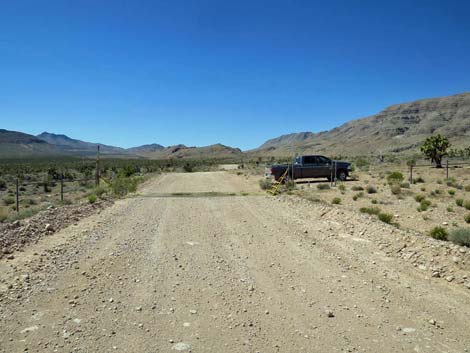 Gold Butte Road approaching Paradise Peak Trailhead (view S) |
Overview Paradise Peak (3,917 ft) (aka Peak 1190) is the high point on Paradise Ridge, the east-most ridge in the north-south trending Tramp Ridge Complex. Climbing some 800 ft over 1-1/2 miles, this is an excellent route onto a narrow ridge with spectacular views to the north, east, and south that extend into Arizona and Utah. Without a trail or many landmarks, this is a good orienteering route or just a good off-trail map-and-compass adventure. There are many ways to get there, and in this open country, hikers are free to find their own best route except that the sideslopes are quite steep and loose. For hikers wanting just a bit of exploration with grand views, stopping at the Sitting Rocks is about as good as it gets. For hikers wanting a longer adventure than just Paradise Peak, the 0.9 miles north of Paradise Peak to Peak 1188 are easy and fun, and the next mile north is quite exhilarating. Link to map. |
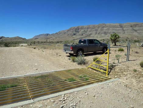 Gold Butte Road at cattle guard (view S) |
Watch Out Other than the standard warnings about hiking in the desert, ... this is a fairly safe route, but there are opportunities to stumble and fall, so always be careful when high enough to get hurt. This is a wild and remote area without services of any kind (no restrooms, no water, no gas, no food). Bring what you need to survive. Be prepared and be self-reliant. Someone will find you eventually if you stay on a main road, but be prepared to survive alone for a day or two. Cell phones don't work in this area. While hiking, please respect the land and the other people out there, and try to Leave No Trace of your passage. Also, this is a remote hike, so be sure to bring the 10 Essentials. |
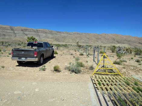 Trailhead parking (view NW towards Paradise Peak) |
Getting to the Trailhead Paradise Peak is located out in Gold Butte National Monument at the northeast end of Lake Mead, about 3 hours northeast of Las Vegas in a wild, remote, and scenic area near the Arizona Border. From town, drive out to Gold Butte National Monument. From Whitney Pocket, continue south on the unpaved Gold Butte Road. At about 13.0 miles out, the road begins to climb up and across a steep hillside with grand views back to the north. Atop the hill, the road bends hard to the right and in a few yards passes through a barbed-wire ranching fence at a cattle guard (13.7 miles out). Immediately past the cattle guard, turn right and park adjacent to the fence. Park here; this is the trailhead. |
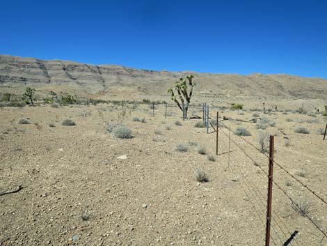 Departing the trailhead: route parallels fenceline (view NW) |
The Hike From the trailhead (Table 1, Waypoint 01), the route heads northwest towards Paradise Peak, which can be seen ahead in the distance. Shortly, the route crosses the trace of the Old Gold Butte Road, then continues to the barbed-wire fence (Wpt. 02). Turning west to parallel the fence, the route runs across easy, open country following a burro trail (a game trail made by feral burros). Eventually the route starts up onto the side of Paradise Ridge contouring around a low highpoint and arrives at a break in the fence (Wpt. 03). Here, the burro trail cuts through the fence and begins a descent into the wash below on the right. Running down across the slope, the route drops into the wash adjacent to an outcrop of layered red rocks. A few yards ahead, a large, white, pyramid-shaped boulder (Wpt. 04) comes into view. |
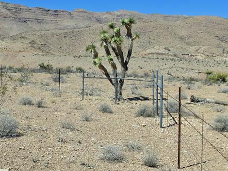 Fence bends left (view NW) |
The pyramid-shaped boulder (Wpt. 04), visible from a distance, is a good landmark when heading out and returning. From the pyramid-shaped boulder, the route crosses the wash and conveniently runs up the sloping limestone ramp to begin climbing the hillside to the north. This hillside is the only strenuous part of the hike, but hikers can angle up and across the hillside (Wpt. 05) making for a relatively gentle incline. Eventually however, the route turns (Wpt. 06) and heads directly up the hillside (less than 100 vertical feet) to get above a band of low cliffs (Wpt. 07). Back on easier terrain, the route climbs to the crest (Wpt. 08) of a side ridge, arriving at an unusually wide patch of Banana Yucca, which makes a good landmark on the way down. From the yucca, the route turns uphill along the crest of the side ridge. The route traverses interesting layers of strata. Just up from the yucca (literally down, but uphill), the route crosses a red layer, and further up, passes a second red layer, perhaps muds from some ancient shoreline. |
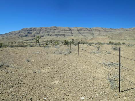 Route follows fenceline (view W) |
The route eventually climbs onto the crest of Paradise Ridge (Wpt. 09). Paradise Ridge is a broken ridge, cut by several washes that come down out of Paradise Valley, the valley to the west. Farther west across Paradise Valley, Tramp Ridge towers above this landscape. Following the crest of Paradise Ridge northward, the route runs open and easy most of the way. There are some rocky spots, but they can be bypassed easily. At about 1.15 miles out, the route crosses a highpoint (Wpt. 09) on the ridgeline, one of several false summits. A nice jumble of rocks here invites hikers to stop and sit awhile. In fact, this is an excellent place to stop because the views get little better farther out. For hikers wanting a bit of exploration with grand views, stopping at the Sitting Rocks is about as good as it gets. |
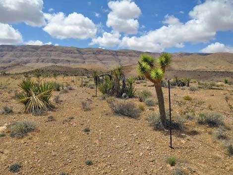 Route follows fenceline (view W) |
From the Sitting Rocks, the route descends to pass a low saddle, then begins climbing towards the next false summit. At the crest of the next steeper part, on a rocky outcrop, there sits an enormous stone mining claim cairn, evidence of historic mining interest in this ridge. It is a good thing that nobody found economically recoverable minerals here, because otherwise this entire ridge might be gone. For others, the route continues north another 1/2-mile, passing one false summit after another, to Paradise Peak (Wpt. 11). The views here truly are grand, but little better than those from the Sitting Rocks. For more adventuresome hikers, consider continuing north as far as you can, but turn back in time for dinner. it is most of another easy mile to Peak 1188, and then another mile to where it is no longer safe to continue. From wherever the route ends, return to the trailhead by following your footprints back down the ridge. Look for the landmarks: banana yucca patch, pyramid rock, and break in the fence. |
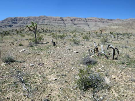 Burro trail begins to parallel fenceline (view W) |
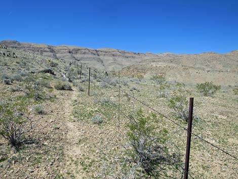 Burro trail parallels fenceline (view W) |
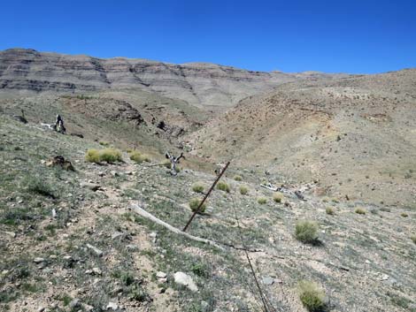 Gap in the fence; burro trail passes through (view W) |
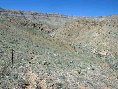 Burro trail now on north side of the fence (view W) |
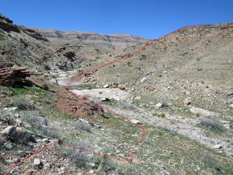 Burro trail descends into the canyon bottom (view W) |
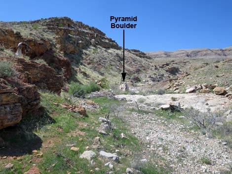 In the wash, route runs out to Pyramid Boulder (view W) |
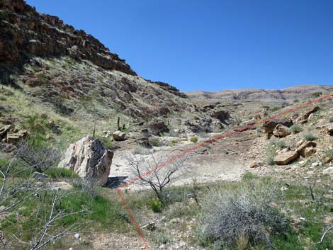 At Pyramid Boulder, route crosses wash (view W) |
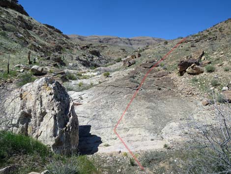 From Pyramid Boulder, route starts up hillside (view W) From Pyramid Boulder, route starts up hillside (view W) |
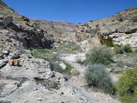 Gone too far up wash: barbed-wire fence (view W) |
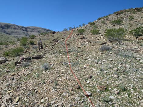 Route climbs not-too-steep hillside (view NW) |
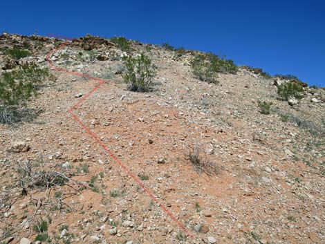 Route climbs steep hillside towards low cliffs (view NW) |
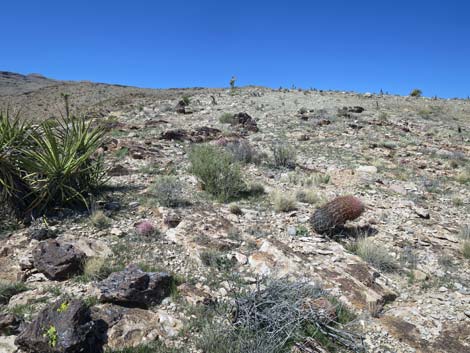 Above low cliffs, route becomes gentle again (view NW) |
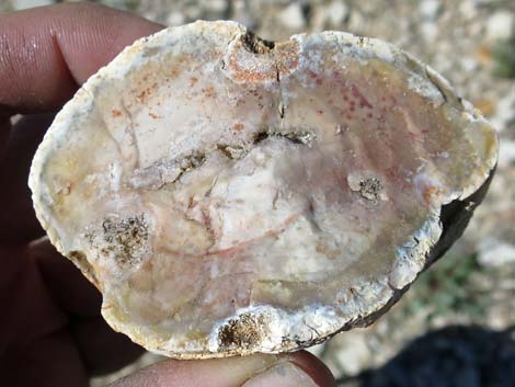 Chert geode? See if you can find it. |
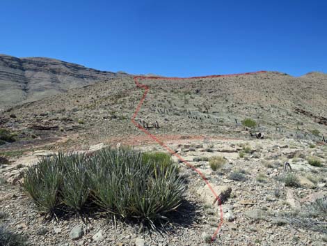 Large patch of Banana Yucca at crest of side ridge (view NW) |
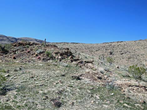 Route turns up side ridge (view W) |
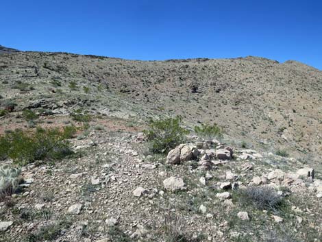 On side ridge (view NW towards Paradise Peak) |
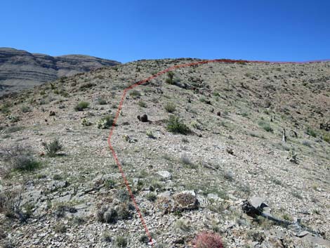 Route continues towards crest of Paradise Ridge (view W) |
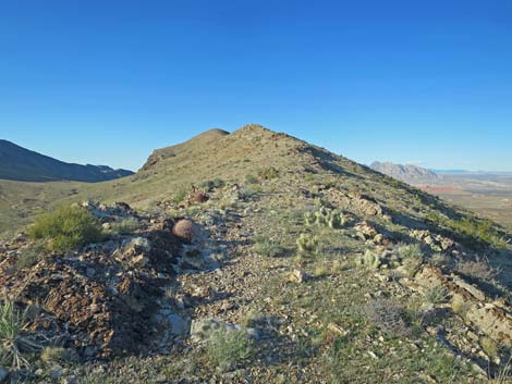 Atop crest of Paradise Ridge (view N) |
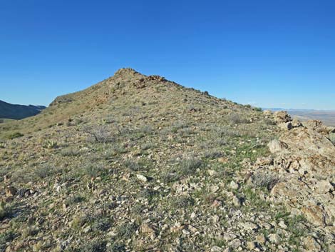 Easy walking atop crest of Paradise Ridge (view N) |
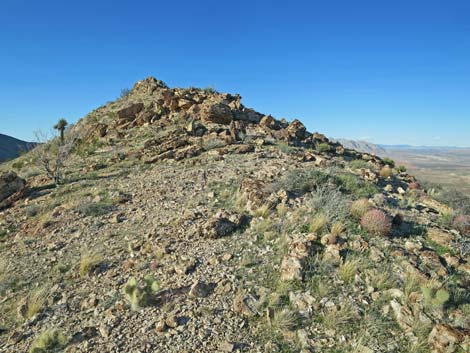 Rocky walking atop crest of Paradise Ridge (view N) |
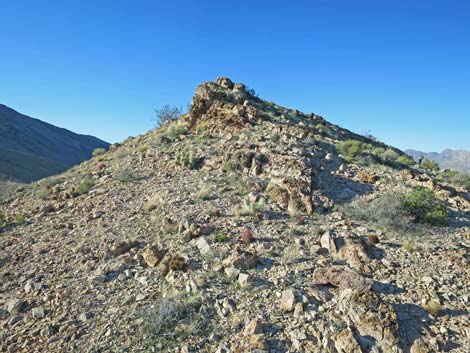 Easy walking atop crest of Paradise Ridge (view N) |
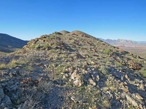 More easy walking atop crest of Paradise Ridge (view N) |
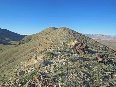 The Sitting Rocks: a nice place to sit and eat lunch (view N) |
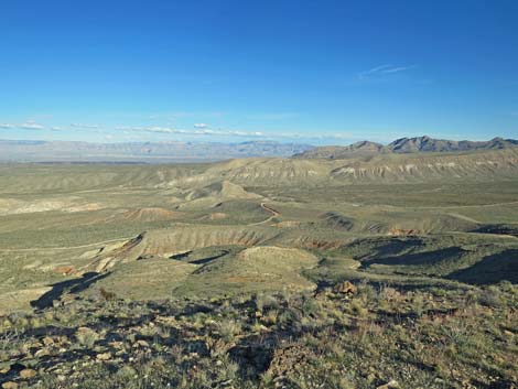 Grand views SE from the Sitting Rocks |
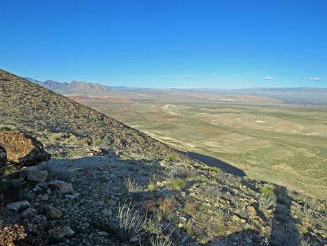 Grand views NE from the Sitting Rocks |
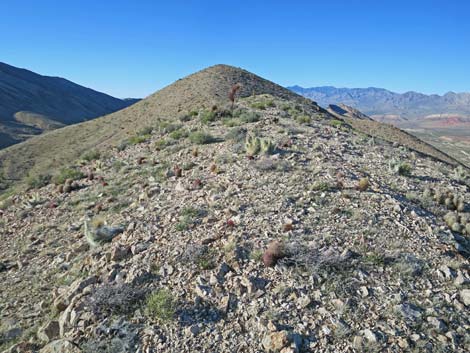 More easy walking atop crest of Paradise Ridge (view N) |
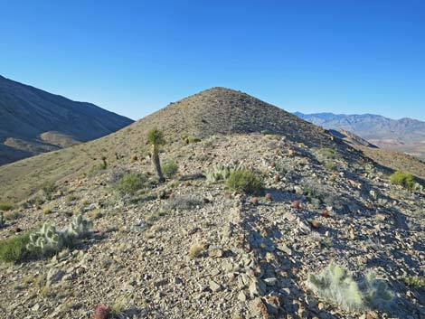 More easy walking atop crest of Paradise Ridge (view N) |
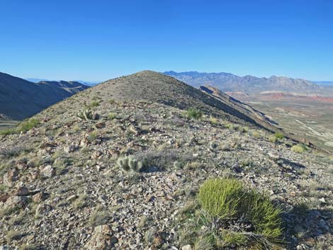 Crest of ridge (view N towards Paradise Peak) |
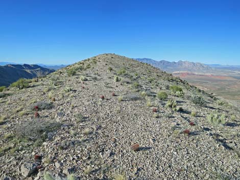 Approaching Paradise Peak (view N) |
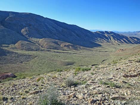 Paradise Peak (view NW into Paradise Valley and Tramp Ridge) |
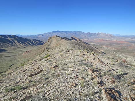 Paradise Peak (view N along crest of Paradise Ridge) |
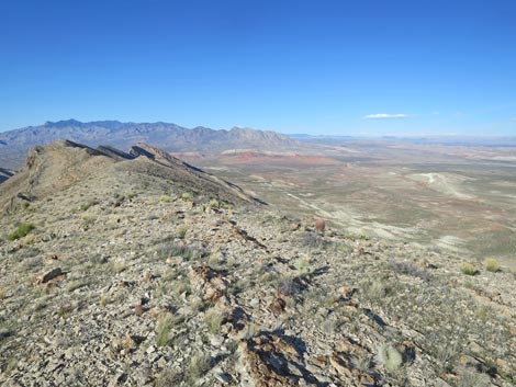 Paradise Peak (view NE to Virgin Mountain and Arizona) |
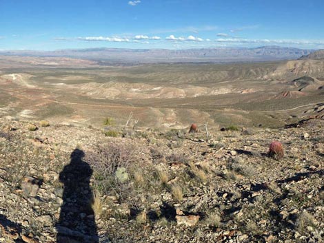 Paradise Peak (view E to Grand Wash Cliffs in Arizona) |
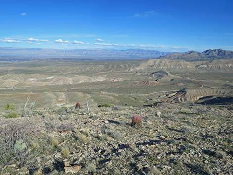 Paradise Peak (view SE to Grand Wash Cliffs in Arizona) |
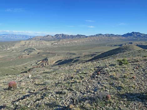 Paradise Peak (view S to Azure Ridge and Summit Peak) |
 More to come ... |
Table 1. Hiking Coordinates Based on GPS Data (NAD27, UTM Zone 11S). Download Hiking GPS Waypoints (*.gpx) file.
| Wpt. | Location | UTM Easting | UTM Northing | Elevation (ft) | Point-to-Point Distance (mi) | Cumulative Distance (mi) |
|---|---|---|---|---|---|---|
| 01 | Trailhead | 756805 | 4026496 | 3,090 | 0.00 | 0.00 |
| 02 | Fenceline | 756495 | 4026490 | 3,122 | 0.12 | 0.12 |
| 03 | Break in the Fence | 756226 | 4026500 | 3,206 | 0.23 | 0.35 |
| 04 | Pyramid Rock | 756074 | 4026545 | 3,133 | 0.11 | 0.46 |
| 05 | Hillside | 756024 | 4026579 | 3,181 | 0.04 | 0.50 |
| 06 | Turn Up Through Cliffs | 755921 | 4026634 | 3,273 | 0.08 | 0.58 |
| 07 | Top of Cliffs | 755933 | 4026683 | 3,373 | 0.05 | 0.63 |
| 08 | Ridgeline at Banana Yuccas | 755908 | 4026745 | 3,416 | 0.04 | 0.67 |
| 09 | Crest of Paradise Ridge | 755610 | 4026921 | 3,594 | 0.25 | 0.92 |
| 10 | Sitting Rocks | 755657 | 4027248 | 3,741 | 0.23 | 1.15 |
| 11 | Paradise Peak | 755651 | 4027920 | 3,931 | 0.45 | 1.60 |
| 01 | Trailhead | 756710 | 4026357 | 3,090 | 1.60 | 3.20 |
Happy Hiking! All distances, elevations, and other facts are approximate.
![]() ; Last updated 240325
; Last updated 240325
| Hiking Around Gold Butte | Hiking Around Las Vegas | Glossary | Copyright, Conditions, Disclaimer | Home |