
Backroads Around Las Vegas, Gold Butte

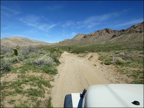 Red Bluff Spring Road approaching Lincoln Mine Road (view NW) |
Overview Lincoln Mine Road is a 6.7-mile horseshoe-shaped loop off the Red Bluff Spring Road (part of the Gold Butte Backcountry Byway) that provides access to the wild and rugged west side of Tramp Ridge. From the north or from the south, the road heads east from Red Bluff Spring Road to run 3-4 miles along the base of Tramp Ridge. The road passes three quail guzzlers along the south half, a nice overlook atop a steep knob near the middle, and the trailhead to Lincoln Mine that is also near the middle. The south half of the road is in reasonably good shape and suitable for a 2WD-HC vehicles, but the north half runs narrow and along long, sandy washes with one tight pinch between rock walls that require a narrow 4WD vehicle (jeeps fit though with about 4 inches to spare). Link to map. |
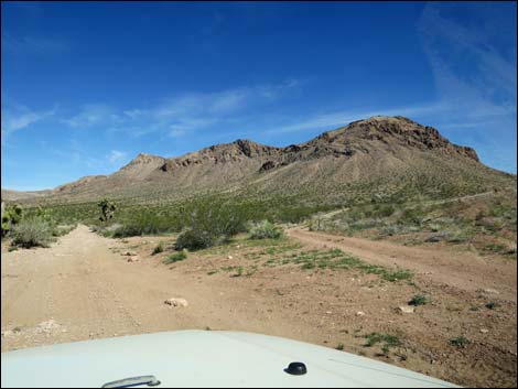 Red Bluff Spring Road at Lincoln Mine Road (view NW) |
Watch Out Other than the standard warnings about driving in the desert, ... this is a wild and remote area without services of any kind (no restrooms, no water, no gas, no food). Bring what you need to survive. Be prepared and be self-reliant. Someone will find you eventually if you stay on a main road, but be prepared to survive alone for a day (or two if you get off the main road). Historically, the road has been in reasonably good shape and suitable for 2WD-HC vehicles on the south half, but conditions change, so use your good judgment. While out, please respect the land and the other people out there, and try to Leave No Trace of your passage. Also, this is a remote area, so be sure to bring the 10 Essentials. |
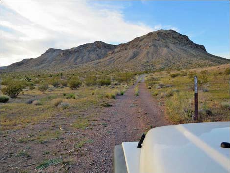 Beginning of Lincoln Mine Road (view NW) |
Getting to Lincoln Mine Road Lincoln Mine Road is located out in Gold Butte northeast of Lake Mead, about 3.5 hours northeast of Las Vegas. From town, drive out to Gold Butte. From Whitney Pocket, continue south on the unpaved Gold Butte Road to Gold Butte Townsite. From the Townsite, drive northwest on Red Bluff Spring Road 2.3 miles to Lincoln Mine Road, on the right. Lincoln Mine Road Lincoln Mine Road departs Red Bluff Spring Road (Table 1, Site 1692), angling gently to the right. Quickly the road bends a bit right to run northeast, then at 0.5 miles out, passes a well-used spur road to a quail guzzler on the right. |
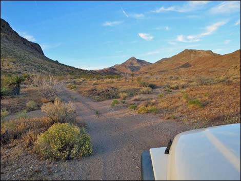 Road runs up a broad canyon (view NE) |
Continuing generally northeast, the now much less-used road runs up through a broad canyon and out into an even broader valley. Then, at about 1.2 miles out, Lincoln Mine Rd passes Perkins Spring Road (Site 1619), a spur to the left. Perkins Spring Road runs west and splits; the south fork goes to the spring, and the north fork goes to an old cattle watering pond. Continuing northeast across the valley, the road passes a second spur road to a guzzler (2.1 miles out), this one on the left. The road winds over low hills and enters a gravel wash, which is followed upstream until abruptly turning left and climbing the steep bank to the desert flats above. At the turn, 2.7 miles out, the wash upstream from the road serves as trailhead parking (Site 1620) for the hike to Lincoln Mine. |
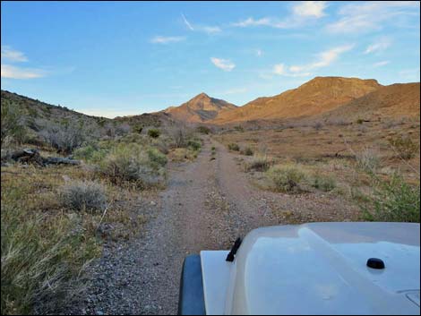 Road continues up the broad canyon (view NE) Road continues up the broad canyon (view NE) |
Continuing northeast, the road runs up a broad canyon into the hills. At 3.2 miles out, the road passes a third spur road to a quail guzzler on the hillside to the right. Beyond the guzzler spur, the road climbs somewhat steeply onto a saddle (3.3 miles out) on a ridgeline. To the left, a spur road climbs steeply up to a nice overlook (80 yards out) on a knob with grand views west towards Las Vegas and east to Tramp Ridge. Beyond the saddle, the road runs down a steep, narrow gorge that in the gathering darkness, scared me off. However, judging from aerial photos, the road continues north to drop through a canyon flanked by two knobs (3.9 miles out), then drops into a wash (4.1 miles out) and generally follows it downstream to the west. At about 6.0 miles out, the road exits the wash to the left and runs across the desert to re-connect with Red Bluff Spring Road (Site 1623), 6.7 miles out. At this intersection, Gold Butte Townsite is to the left, while Mesquite is to the right. |
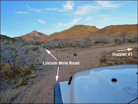 Lincoln Mine Road at spur road to first guzzler (view NE) |
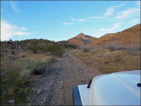 Road runs up a broad canyon (view NE) |
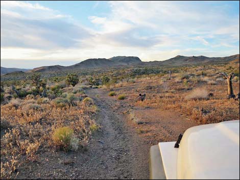 Crossing broad valley (view NE) |
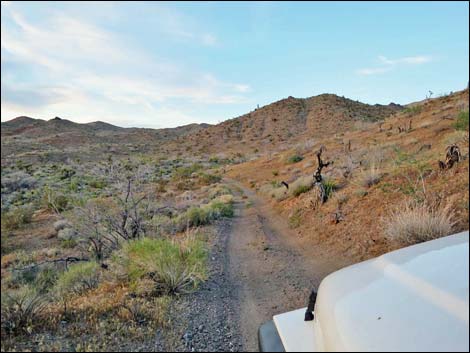 Still crossing broad valley (view NE) |
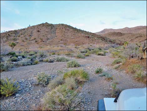 Crossing a wash (view NE) |
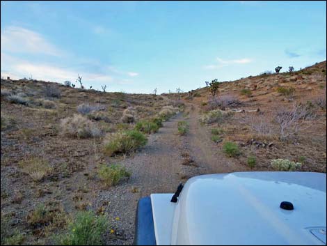 Climbing towards a low ridge (view NE) |
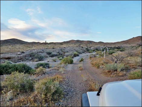 Road enters and runs up a gravel wash (view NE) |
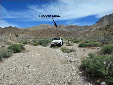 Vehicle at Lincoln Mine Trailhead (Site 1620) |
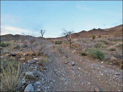 Road exits wash just past the trailhead (view N) |
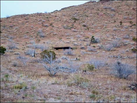 Quail guzzler #3 on the hillside (view NE) |
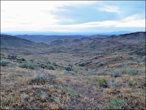 Overlook (view W towards Spring and Muddy Mountains) |
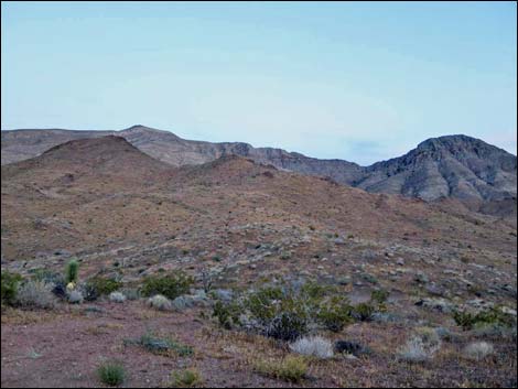 Overlook (view SE towards summit of Tramp Ridge) |
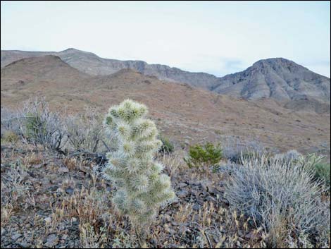 Silver Cholla masquerading as Blue Diamond Cholla? |
 More to come ... |
Table 1. Highway Coordinates Based on GPS Data (NAD27; UTM Zone 11S). Download Highway GPS Waypoints (*.gpx) file.
| Wpt. | Location | Latitude (N) | Longitude (W) | Elevation (ft) | Point-to-Point Distance (mi) | Cumulative Distance (mi) | Verified |
|---|---|---|---|---|---|---|---|
| 1692 | Red Bluff Spring Rd at Lincoln Mine Rd | 36.30338 | 114.22562 | 3,194 | 0.00 | 0.00 | Yes |
| 1619 | Lincoln Mine Rd at Perkins Spring Rd | 36.31649 | 114.21171 | 3,510 | 1.28 | 1.28 | GPS |
| 1620 | Lincoln Mine Rd at Lincoln Mine Trail | 36.33246 | 114.20156 | 3,757 | 1.42 | 2.70 | GPS |
| 1621 | Lincoln Mine Rd at Overlook Rd | 36.34013 | 114.19681 | 3,936 | 0.62 | 3.32 | GPS |
| 1622 | Lincoln Mine Rd Overlook | 36.34043 | 114.19711 | 3,970 | . | . | GPS |
| 1623 | Red Bluff Spring Rd @ Lincoln Mine Rd North | 36.34999 | 114.23763 | 2,930 | 3.41 | 6.73 | GPS |
Happy Hiking! All distances, elevations, and other facts are approximate.
![]() ; Last updated 240326
; Last updated 240326
| Backroads Around Las Vegas | Hiking Around Las Vegas | Glossary | Copyright, Conditions, Disclaimer | Home |