
Backroads Around Las Vegas, Gold Butte National Monument

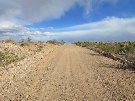
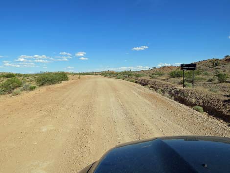 Gold Butte Road approaching St. Thomas Gap Road (view SE) |
Overview St. Thomas Gap Road (also called Grand Wash Road) follows the trace of the historic Grand Gulch Trail that was built in the late 1800s for hauling wagon-loads of copper ore between the Grand Gulch Mine in Arizona and the town of St. Thomas on the Virgin River in Nevada, which was the end of the railroad at that time. This 9-mile graded dirt road runs northwest-southeast between Gold Butte Road in the west and Pakoon Road in the east, which is over in Arizona in Grand Canyon - Parashant National Monument. St. Thomas Gap Road runs across open desert flats and down a sandy canyon, making the east end of the road questionable for 2WD vehicles after storms. This road provides access to a couple of campsites but otherwise no particular destinations except that it connects with roads leading deep into the Arizona Strip on the north side of the Grand Canyon. This road is also part of the Whitney Pocket-Pakoon Spring Loop that starts and ends at Whitney Pocket. Link to road map. |
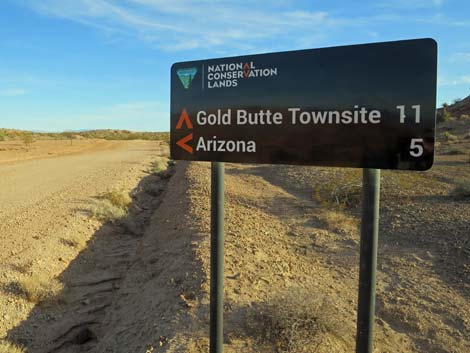 Gold Butte Road at St. Thomas Gap Road sign (view S) |
Watch Out Other than the standard warnings about driving in the desert, ... this road is fairly safe, but it runs into a wild and remote area without services of any kind (no restrooms, no water, no gas, no food). Bring what you need to survive. Be prepared and be self-reliant. Someone will find you eventually if you stay on main roads, but be prepared to survive alone for a day or more on side roads. Cell phones don't work. I drove this road in my jeep using 2WD, but it was reassuring that I could lock in the hubs and continue in 4WD if necessary in the sandy east-end washes. When freshly graded, this area is fine, but it can become soft. Road conditions change; use your own good judgment. While out, please respect the land and the other people out there, and try to Leave No Trace of your passage. Also, this is a remote area, so be sure to carry the 10 Essentials. |
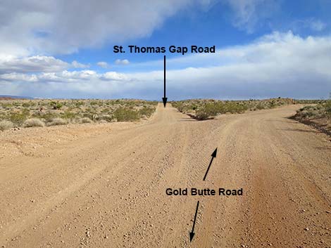 Gold Butte Road at St. Thomas Gap Road (view SE) |
Getting to the Roadhead St. Thomas Gap Road is located out in Gold Butte National Monument northeast of Lake Mead, about 2-1/4 hours northeast of Las Vegas. Drive out to Gold Butte National Monument, and from the end of the pavement at Whitney Pocket, continue south on the unpaved Gold Butte Road for 9.0 miles to a major fork. The intersection is signed, but the southbound sign was knocked down some years ago; only one 4x4 wooden sign post remains. At the fork, the left is St. Thomas Gap Road, which can be confirmed by driving a few yards farther south on Gold Butte Road and looking back at the northbound road sign. |
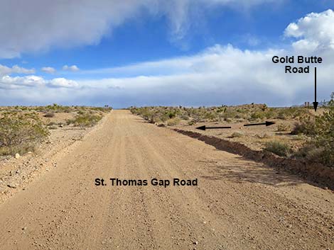 Beginning of St. Thomas Gap Road (view SE) |
The Road From Gold Butte Road (Table 1, Site 0796), St. Thomas Gap Road forks left heading southeast across broad rolling desert flats. At about 0.14 miles out, St. Thomas Gap Road passes a minor side road left that leads about 300 yards to an old drill site where prospectors explored for oil in the 1980s. Fortunately for our public recreation lands, they found nothing worth exploiting. Continuing east across open desert flats, St. Thomas Gap Road encounters another minor road left at about 0.56 miles out. This road leads about 100 yards to an interesting campsite where an arch of sandstone crops out of the ground. Farther out, about 0.4 miles out, the side road arrives in an area that was a spring-fed marsh in the old days (at least to about 1920), but now is a dry mud flat with mesquite trees that reach deep for water. When wet, this area can be quite muddy and unsuitable for driving. |
 |
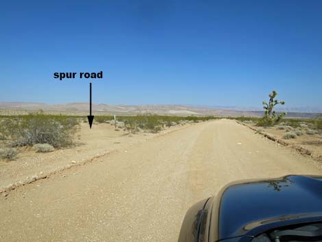
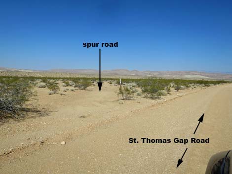
Continuing east, St. Thomas Gap Road encounters yet another minor road left at about 0.63 miles out. This road also leads to the old marsh area and connects with the previous side road. Traversing open desert flats, St. Thomas Gap Road bends a bit more south, and at about 1.3 miles out, passes a minor road on the right. This little-used road angles back to the southwest and runs about 0.5 miles to end in the middle of nowhere for no particular reason; not even a nice campsite. Just ahead, at about 1.5 miles out, St. Thomas Gap Road forks equally. The "straight" fork can be seen to climb steeply over a ridge, while the right fork runs around the end of the ridge at a more gradual grade. Staying right, the road runs around the ridge and reconnects with the "straight" fork at 1.7 miles out. For those taking the steep road, the top is narrow, so be careful in case someone is thundering up from the other side -- don't meet by accident. |
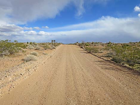 St. Thomas Gap Road approaching directional sign (view SE) |
At about 1.9 miles out, St. Thomas Gap Road passes another minor road (Site 1844) to the left. This road runs out through deep blow sand before bending right to run down to the upper end of an old (dry) stock pond (1.7 miles out). This road used to continue over the dam, but the dam washed out and the road is no longer passable (not even a useful bypass). St. Thomas Gap Road continues, and at about 2.9 miles passes yet another minor road (Site 1846) to the left. This road is the other end of the stock pond road, and this one runs about 0.6 miles to the lower end of the old stock pond. This road used to continue over the dam, but the dam washed out and the road is no longer passable (not even a useful bypass). Beyond there, St. Thomas Gap Road bends a bit more southward and begins to dip more towards the Grand Wash over in Arizona. At about 3.8 miles out, the road crosses Horse Spring Wash, which can be washed out, sandy, or rocky depending on conditions. |
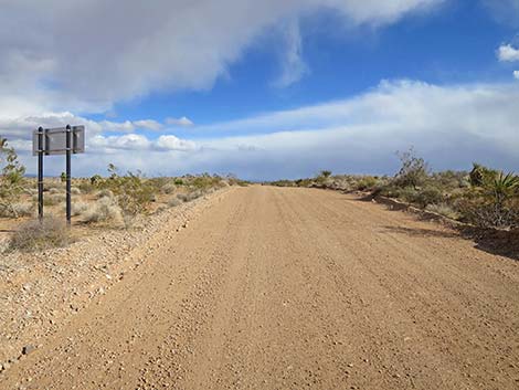 St. Thomas Gap Road at backside of directional sign (view SE) |
For the entire length, St. Thomas Gap Road follows the trace of the historic Grand Gulch Trail, and in this area, there are short spur loops off both sides that were left behind when the modern road was straightened. These spurs make for quiet campsites along this lightly used road. At 5.5 miles out, St. Thomas Gap Road arrives at a cattle guard (Site 1760) with signs that announce the Arizona State Line, the exit from Gold Butte National Monument, and the entrance into Grand Canyon - Parashant National Monument. Continuing into Arizona, St. Thomas Gap Road continues to traverse open desert flats, then dips through another broad wash (5.8 miles) where again, the road can be washed out, sandy, or rocky depending on conditions. |
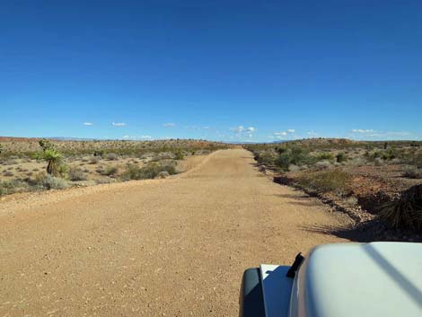 When recently graded, this is a nice, smooth road (view SE) |
The road regains high desert flats, but at 7.3 miles out, the road drops into Black Wash (which here includes flow from Horse Spring Wash). For most of the next 1.7 miles, the road runs down the sandy wash, which depending on conditions, can be a problem for 2WD vehicles. At 9.0 miles out, St. Thomas Gap Road ends where it meets Pakoon Road (Site 1759). For drivers continuing north, roads lead back to Whitney Pocket, over Lime Kiln Pass into Mesquite, out to St. George, and off into the wilds of the Arizona Strip. For drivers continuing south, roads lead to Grand Wash Bay (now a mudflat because Lake Mead is so low), the old homestead at Tassi Spring, and other roads that lead deep into the wilds of the Arizona Strip. |
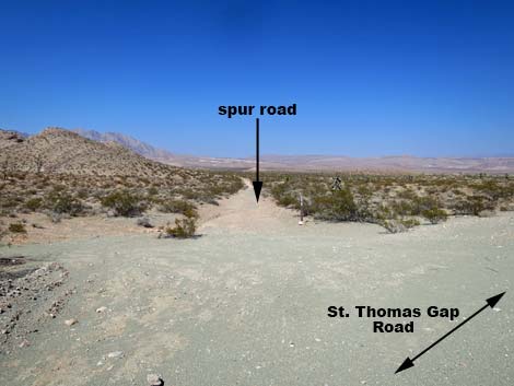
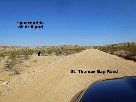 Spur road to historic oil prospecting drill pad (view SE) |
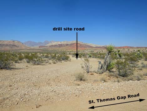 Spur road to oil prospecting drill pad (view NE from STG Rd) |
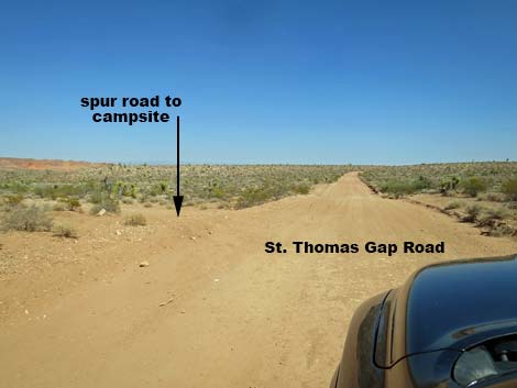 Approaching spur road to Arch Campsite (view SE) |
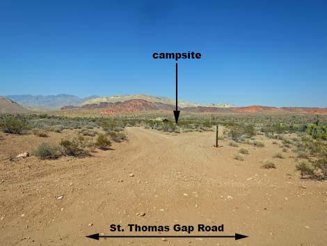 Arch Camp Road splits, but merges at campsite (view NE) |
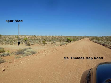 Approaching St. Thomas Gap Marsh Road (view SE) |
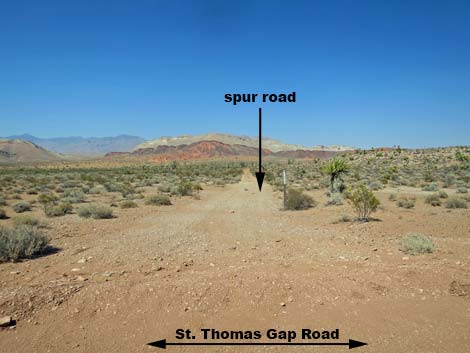 St. Thomas Gap Marsh Road (view NE from STG Road) |
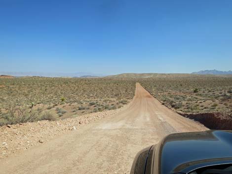 Grand scenery (view SE) |
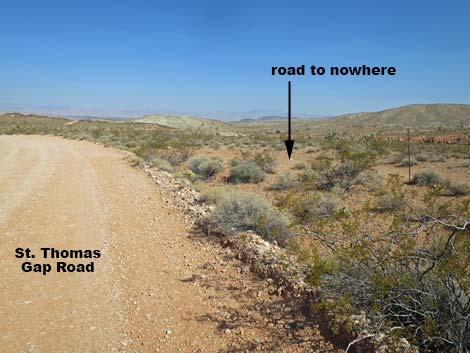 Approaching a spur road to nowhere (view SE) |
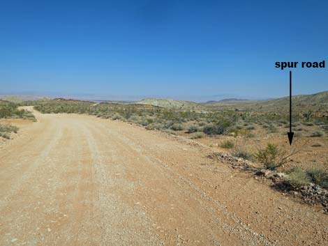 St. Thomas Gap Road at spur road to nowhere (view E) |
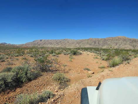 Looking back at spur road to nowhere (view SW) |
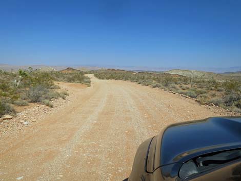 Grand scenery (view E) |
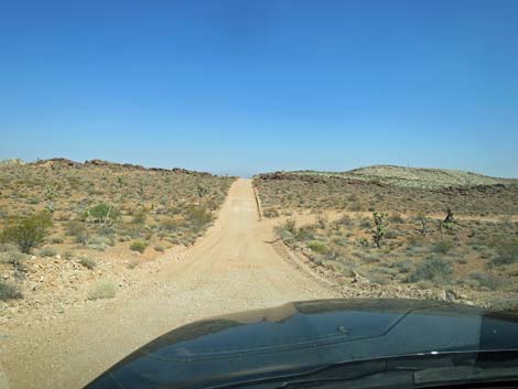 Approaching split in the road: straight=steep; right=gentle (view SE) |
Staying Straight Over the Steep Hill on a Narrow Road
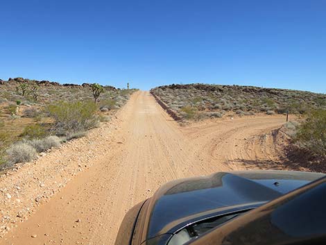 Staying straight at the fork (view SE) |
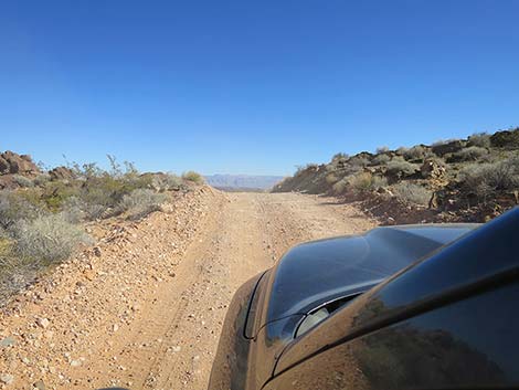 Approaching the crest of the hill (view SE) |
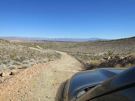 Cresting of the hill (view SE) |
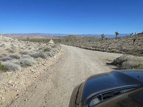 Merging with the other fork (view SE) |
Taking the Gentle, Right Fork
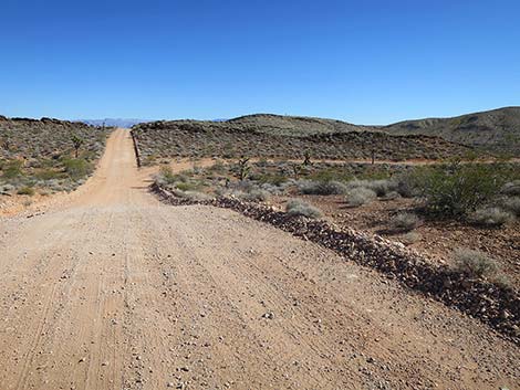 Approaching split in the road: right=gentle (view SE) |
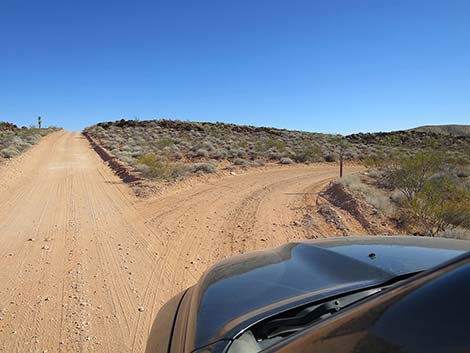 Staying right at the fork (view SE) |
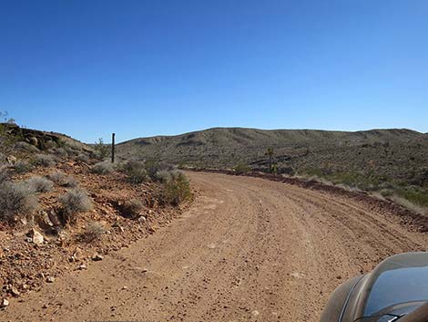 Road rounds curve at gentle grade |
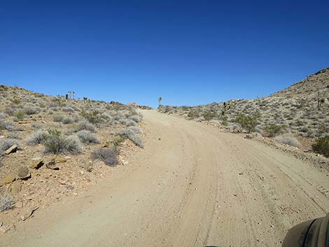 Road climbs towards crest of hill at gentle grade |
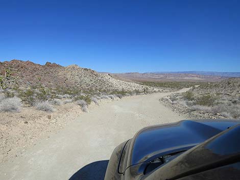 Crest of hill at gentle grade |
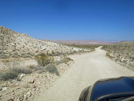 Approaching merge with steep fork (view E) |
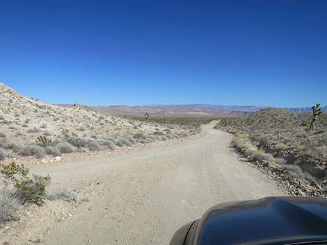 Merge with steep fork (view E) |
 More to come ... |
Continuing on St. Thomas Gap Road
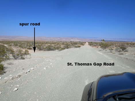 Approaching Greasewood Basin West Road - deep blow sand (view E) |
 Greasewood Basin West Road (view NE from STG Road) |
 Grand scenery (view E) |
 Approaching Greasewood Basin East Road (view E) |
 Greasewood Basin East Road (view NE from STG Road) |
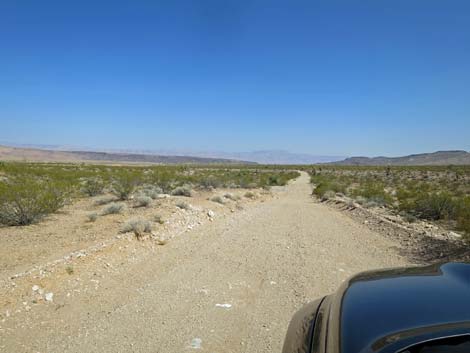 Road drops to cross broad wash subject to flooding (view SE) |
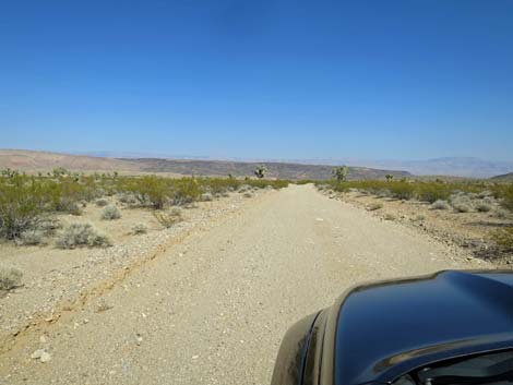 Grand scenery (view SE) |
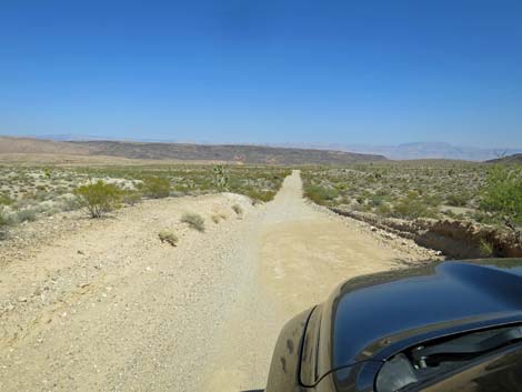 Grand scenery into Arizona (view SE) |
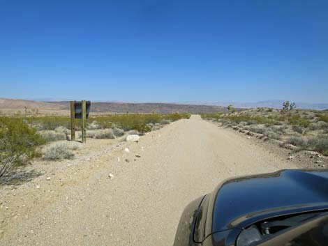 Approaching back-side of information sign (view SE) |
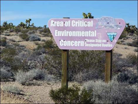 Looking back: Area of Critical Environmental Concern sign (view NW) |
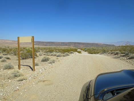 Approaching back-side of directional road sign (view SE) |
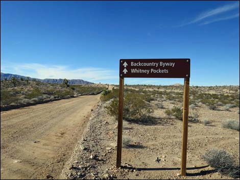 Looking back: directional sign (view NW) |
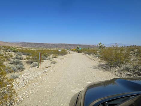 Approaching back-side of safety information sign (view SE) |
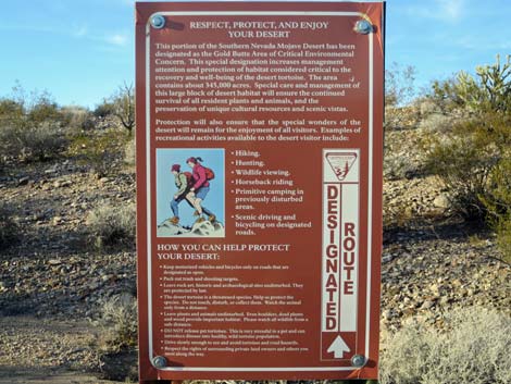 Looking back: safety information sign (view NW) |
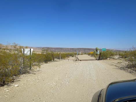 Approaching back-side of Gold Butte boundary sign (view SE) |
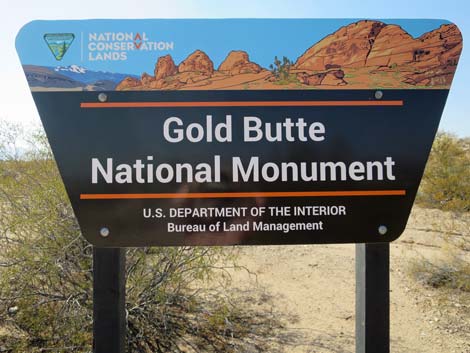 Looking back: Gold Butte boundary sign (view NW) |
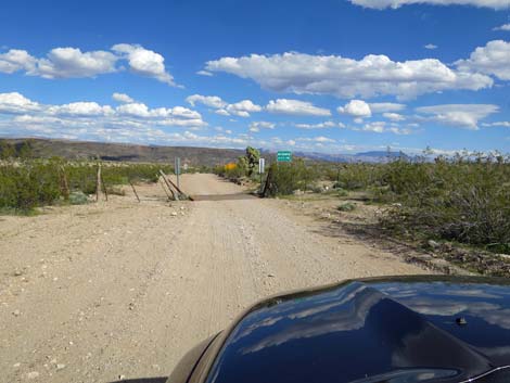 Approaching Nevada-Arizona state line (view SE) |
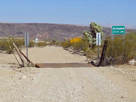 Cattle guard at state line (view SE) |
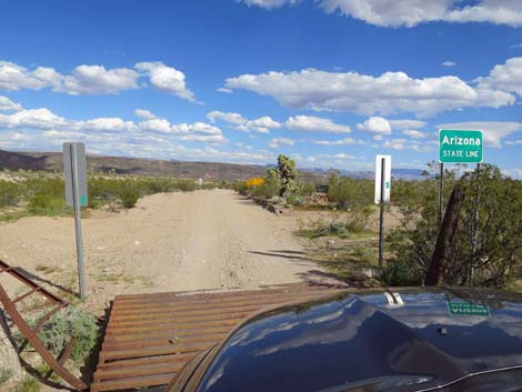 Nevada-Arizona state line (view SE) |
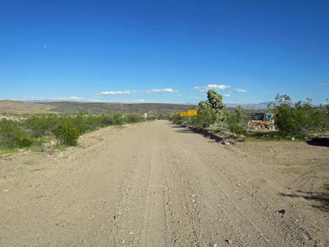 Entering Arizona and Grand Canyon-Parashant (view SE) |
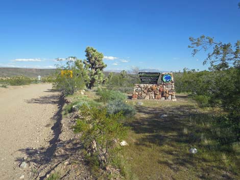 Grand Canyon-Parashant sign (view SE) |
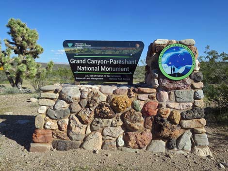 Grand Canyon-Parashant sign (view SE) |
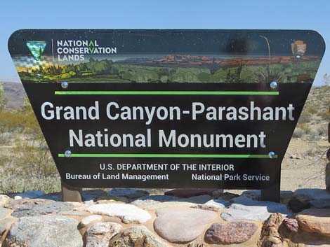 Grand Canyon-Parashant sign (view SE) |
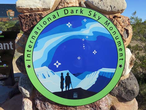 International Dark Sky Monument sign (view SE) |
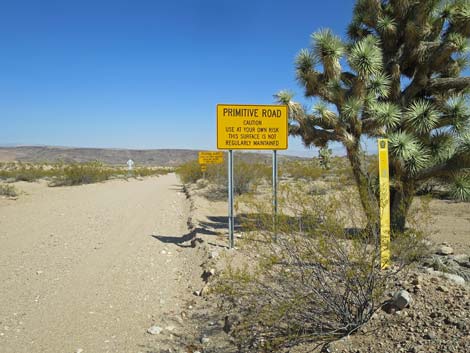 Approaching caution sign (view SE) |
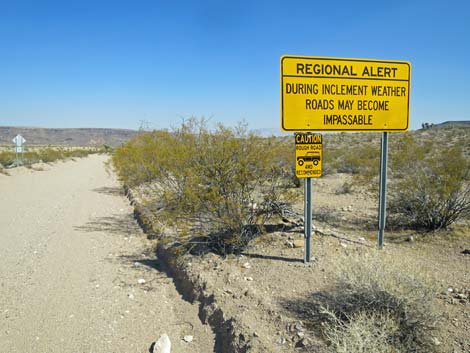 Caution sign (view SE) Caution sign (view SE) |
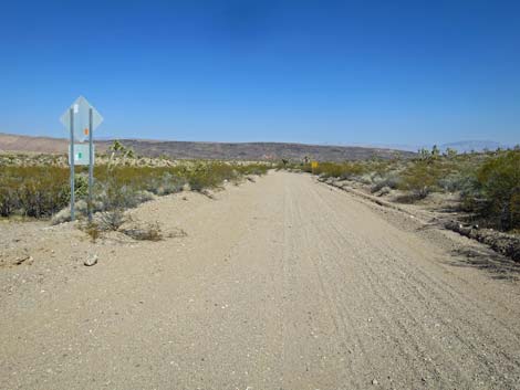 Approaching back-side of caution sign (view SE) |
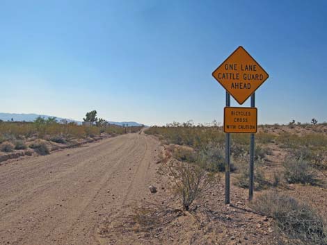 Looking back: caution sign (view NW) |
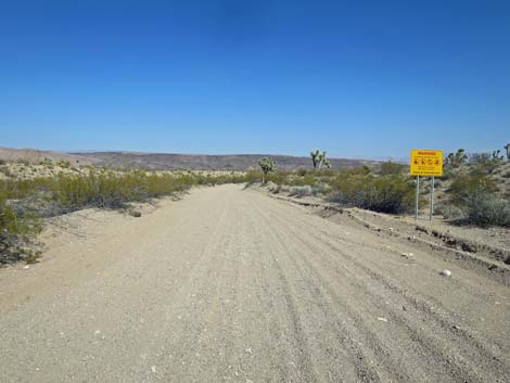 Approaching caution sign (view SE) |
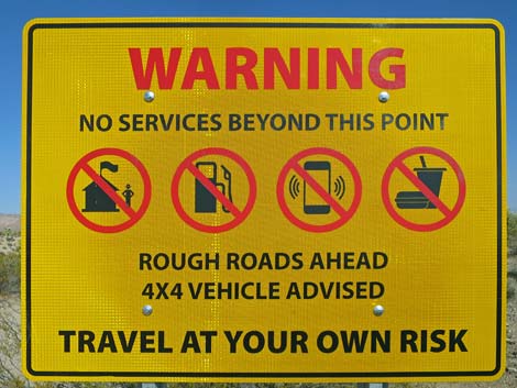 Caution sign (view SE) |
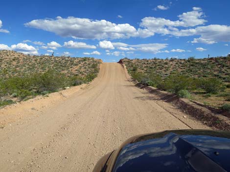
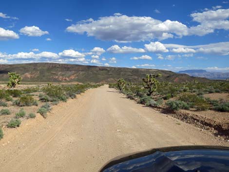
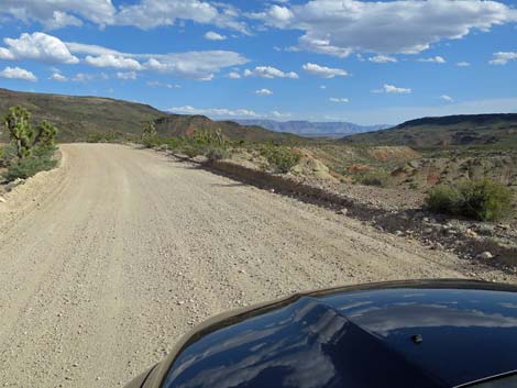
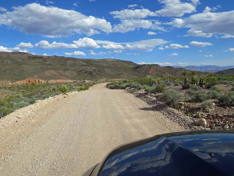
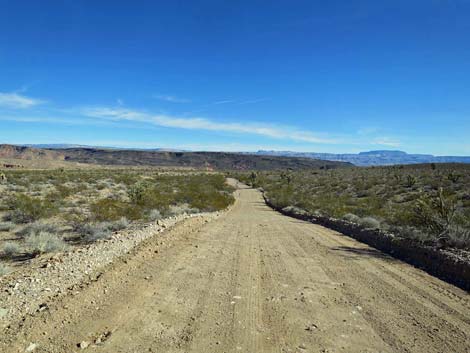 St. Thomas Gap Road continuing into Arizona (view SE) |
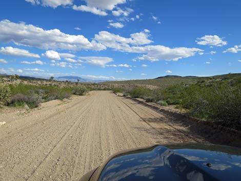 St. Thomas Gap Road continuing into Arizona (view SE) |
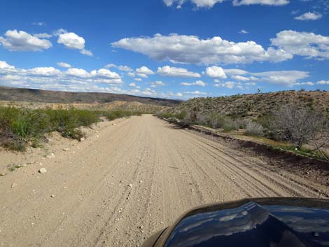 |
 |
 |
 |
 |
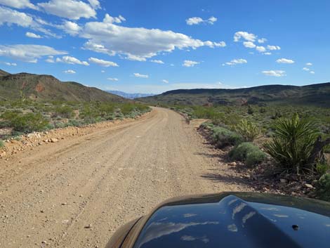 |
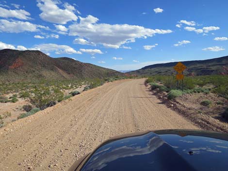 St Thomas Gap Road approaching another cattle guard (view SE) |
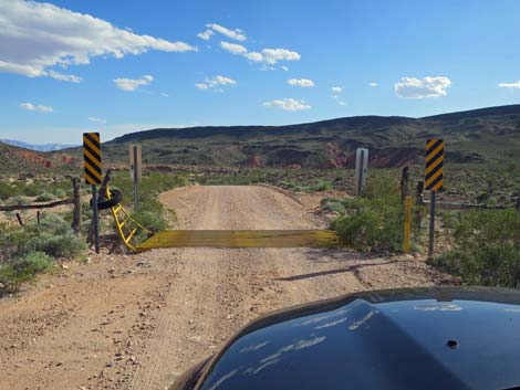 St Thomas Gap Road at another cattle guard (view SE) |
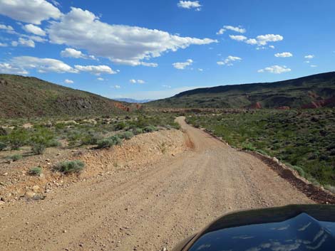 Descending into Black Wash (view SE) |
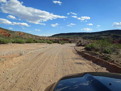 The road runs down Black Wash (view SE) |
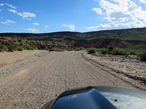 Black Wash can be sandy (view SE) |
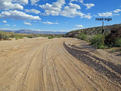
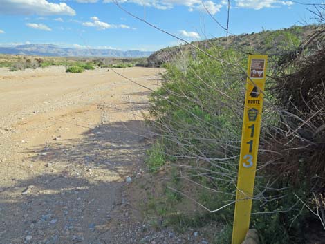
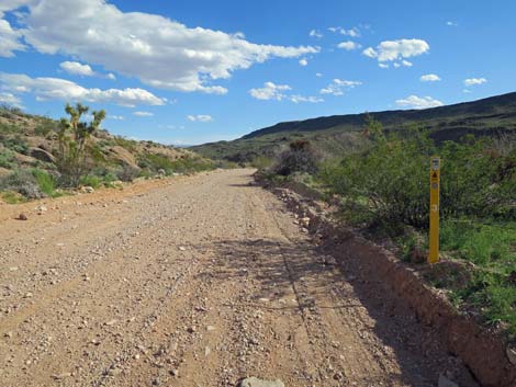 Roads in Parashant generally are numbered and well marked (view SE) |
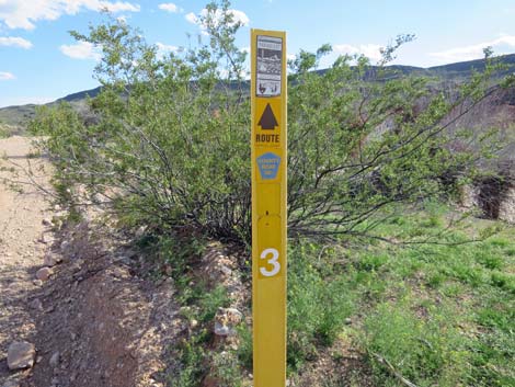 Road number sign (view SE) |
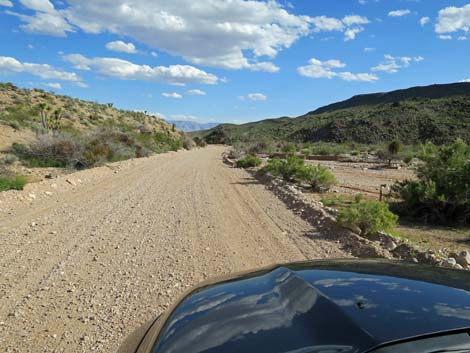 The road continues down Black Wash (view SE) |
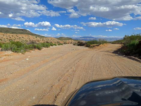 The road exits Black Wash (view SE) |
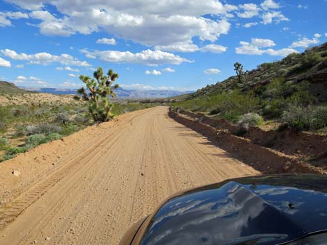 The road runs above Black Wash (view SE) |
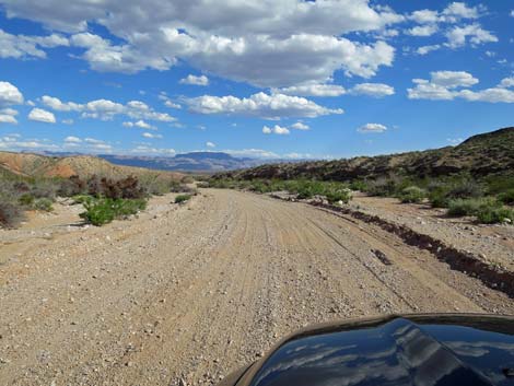 The road returns to Black Wash (view SE) |
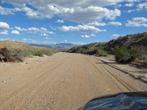 The road runs down Black Wash (view SE) |
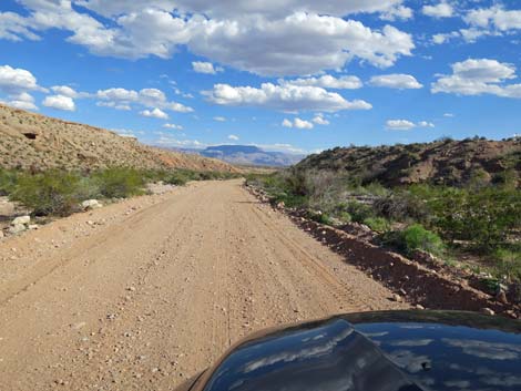 The road continues down Black Wash (view SE) |
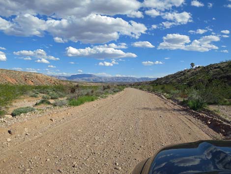 The road continues down Black Wash (view SE) |
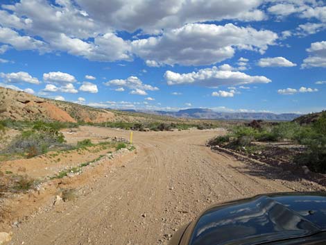 Approaching fork in the road (view SE) |
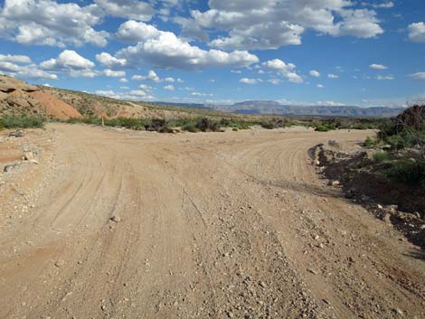 Fork in the road (view SE) |
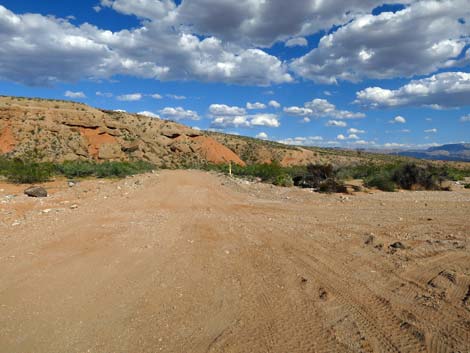 Pakoon Road stays to the left (view NE) |
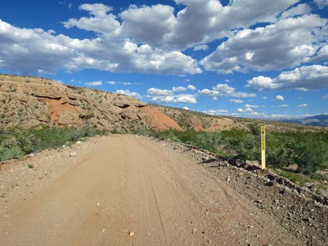 Pakoon Road stays to the left (view NE) Pakoon Road stays to the left (view NE) |
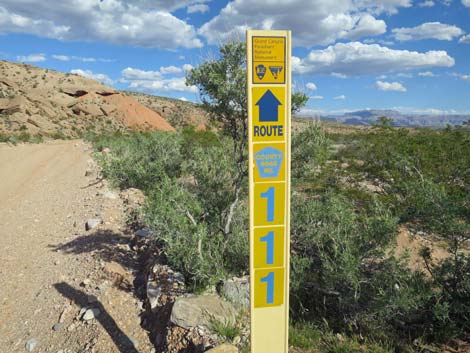 Pakoon Road number sign (view NE) |
 Grand Wash Bay Road stays to the right (view SE |
 Grand Wash Bay Road number sign (view SE) Grand Wash Bay Road number sign (view SE) |
 More to come ... |
Table 1. Highway Coordinates Based on GPS Data (NAD27; UTM Zone 11S). Download Highway GPS Waypoints (*.gpx) file.
| Wpt. | Location | Latitude (N) | Longitude (W) | Elevation (ft) | Point-to-Point Distance (mi) | Cumulative Distance (mi) |
|---|---|---|---|---|---|---|
| 0796 | GB Rd at St Thomas Gap Rd | 36.41359 | 114.12277 | 2,427 | 0.00 | 0.00 |
| 1844 | St ThGapRd at Greasewood Bsn West Rd | 36.40125 | 114.09687 | 2,514 | 1.68 | 1.68 |
| 1846 | St ThGapRd at Greasewood Bsn East Rd | 36.40270 | 114.07843 | 2,402 | 1.23 | 2.91 |
| 1760 | St Thomas Gap Rd at State Line | 36.38133 | 114.04542 | 2,206 | 2.53 | 5.44 |
| 1759 | St. Thomas Gap Rd at Pakoon Rd | 36.34606 | 114.00660 | 1,827 | 3.44 | 8.88 |
Happy Hiking! All distances, elevations, and other facts are approximate.
![]() ; Last updated 241217
; Last updated 241217
| Backroads Around Las Vegas | Hiking Around Las Vegas | Glossary | Copyright, Conditions, Disclaimer | Home |